Coedcaebach

Downs, Moorland in Carmarthenshire

Wales

Coedcaebach

Not a scene for a picture postcard This came as a bit of a shock after ten miles seeing nothing but beautiful countryside. The buildings are presumably part of an agricultural processing plant of some sort.
Not a scene for a picture postcard Credit: Colin Bell

The requested URL returned error: 429 Too Many Requests

If you have any feedback on the listing, please let us know in the comments section below.
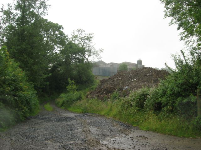
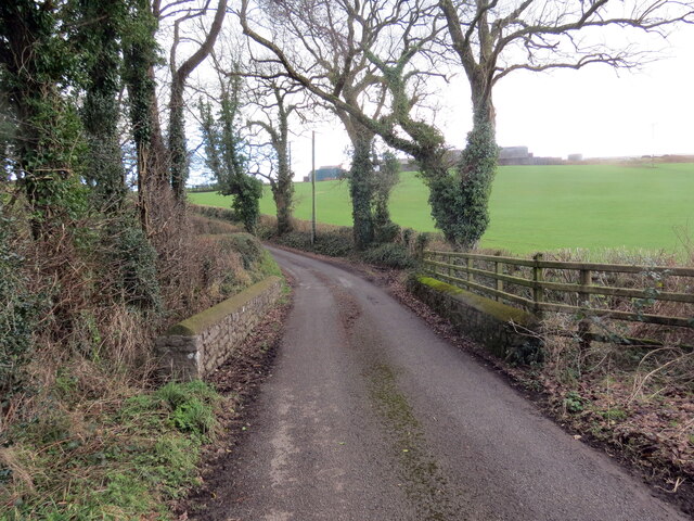
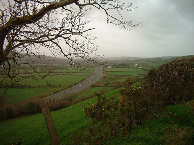
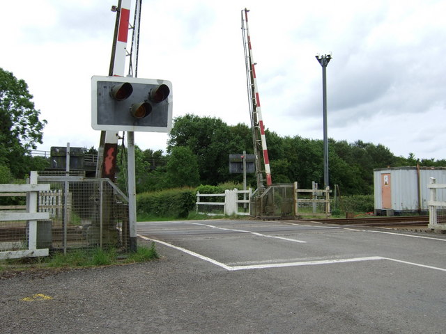
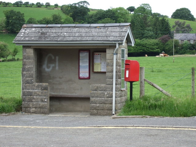
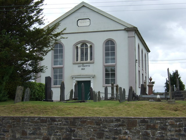
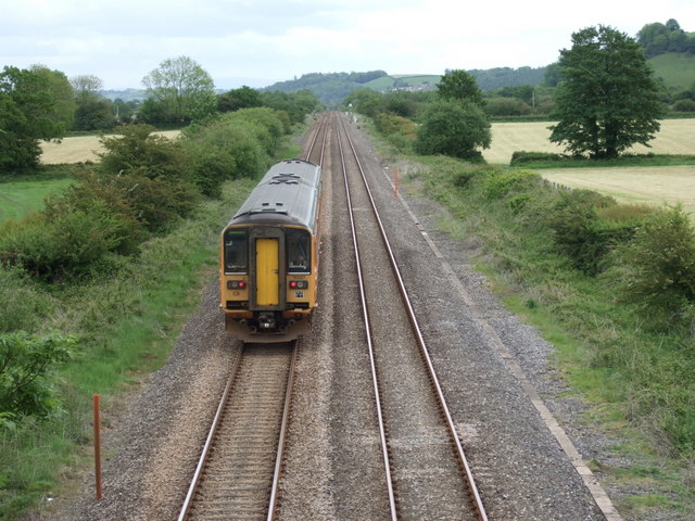
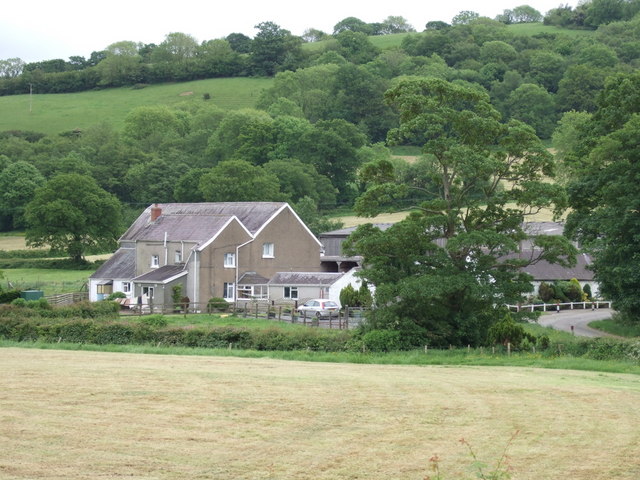
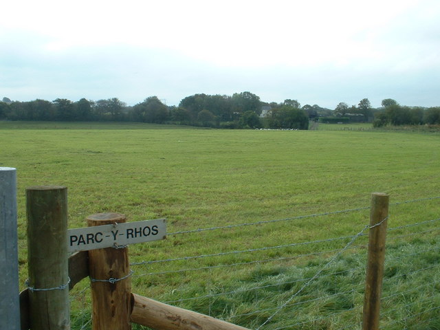
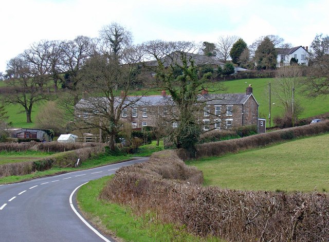
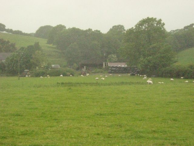
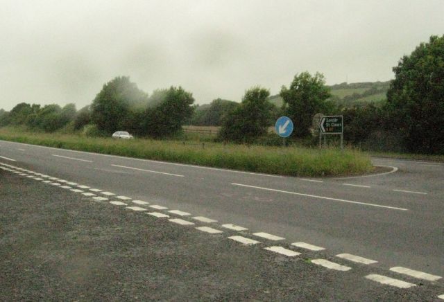
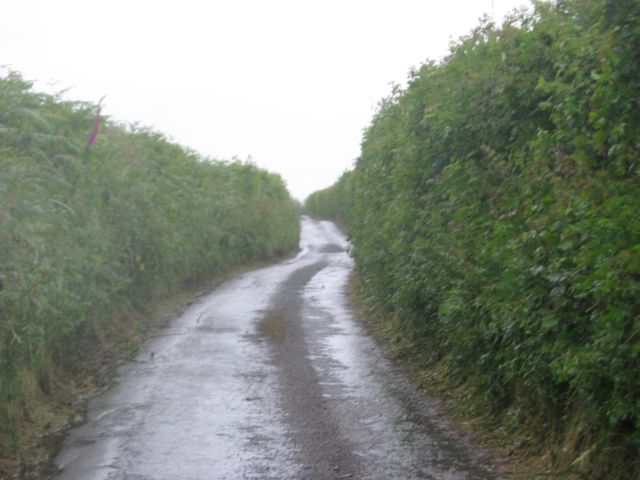
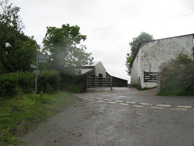
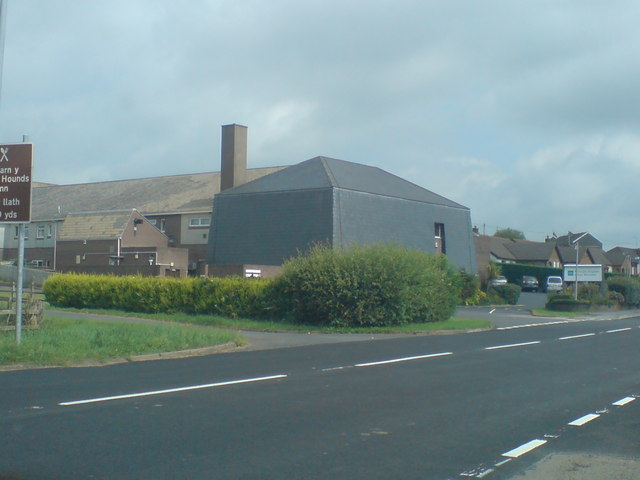
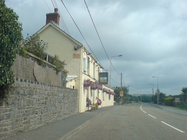
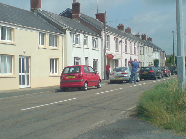
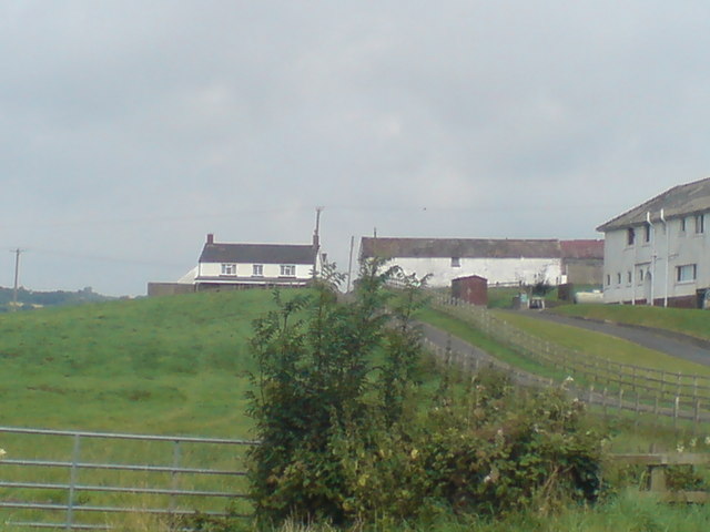
Coedcaebach Images

Images are sourced within 2km of 51.837892/-4.4104306 or Grid Reference SN3418. Thanks to Geograph Open Source API. All images are credited.

Not a scene for a picture postcard This came as a bit of a shock after ten miles seeing nothing but beautiful countryside. The buildings are presumably part of an agricultural processing plant of some sort.
Not a scene for a picture postcard
This came as a bit of a shock after ten miles seeing nothing but beautiful countryside. The buildings are presumably part of an agricultural processing plant of some sort.
Heol fach yn  croesi pont / A minor road crosses a bridge Heol fach wledig yn croesi pont sy'n rhychwantu nant ddienw.

A minor rural road crosses a bridge spanning an unnamed stream.
Heol fach yn croesi pont / A minor road crosses a bridge
Heol fach wledig yn croesi pont sy'n rhychwantu nant ddienw. A minor rural road crosses a bridge spanning an unnamed stream.
The A40 west of Carmarthen Looking towards the village of Bancyfelin in the far distance. Cana chapel at Passby is the nearest building in view. On the summit of the hill to the right is the earthworks of Castell-y-gaer.
The A40 west of Carmarthen
Looking towards the village of Bancyfelin in the far distance. Cana chapel at Passby is the nearest building in view. On the summit of the hill to the right is the earthworks of Castell-y-gaer.
Railway crossing, Sarnau The station and signal box that once stood on this site have now been demolished.
Railway crossing, Sarnau
The station and signal box that once stood on this site have now been demolished.
Bus shelter, Pass-by Bus shelter and post box opposite Cana Chapel on the old A40 road. Llethrach farm on the right and the ancient earthworks of Castell y Gaer on the hilltop on the left.
Bus shelter, Pass-by
Bus shelter and post box opposite Cana Chapel on the old A40 road. Llethrach farm on the right and the ancient earthworks of Castell y Gaer on the hilltop on the left.
Capel Cana Cana Congregational Chapel (Welsh), established in 1821.
Capel Cana
Cana Congregational Chapel (Welsh), established in 1821.
Railway at Nantyrhebog The train, on its way to Carmarthen, is about to cross Llanllwch Mire in the distance.
Railway at Nantyrhebog
The train, on its way to Carmarthen, is about to cross Llanllwch Mire in the distance.
Nant yr hebog Farm Back in the early 17th century, Nant yr hebog (Hawksbrook) estate was the home of John Prydderch who, as a contemporary of Galileo,  made some of the very first telescopic astronomical observations. 
See link:
<span class="nowrap"><a title="http://brynjones.members.beeb.net/wastronhist/p_jprydderch.html" rel="nofollow ugc noopener" href="http://brynjones.members.beeb.net/wastronhist/p_jprydderch.html">Link</a><img style="margin-left:2px;" alt="External link" title="External link - shift click to open in new window" src="https://s1.geograph.org.uk/img/external.png" width="10" height="10"/></span>
Nant yr hebog Farm
Back in the early 17th century, Nant yr hebog (Hawksbrook) estate was the home of John Prydderch who, as a contemporary of Galileo, made some of the very first telescopic astronomical observations. See link: LinkExternal link
Parc-y-Rhos farm
Parc-y-Rhos farm
Llys Onnen Cottages, Meidrim It's impossible to get a good view of this fine row from within SN3219.
Llys Onnen Cottages, Meidrim
It's impossible to get a good view of this fine row from within SN3219.
Sheep oblivious to the rain Unlike the cows (see (add link to other picture)), the sheep seem quite happy to graze in heavy rain and strong wind.
Sheep oblivious to the rain
Unlike the cows (see (add link to other picture)), the sheep seem quite happy to graze in heavy rain and strong wind.
The A40 Probably looks more inviting (and easier to cross) when it's not raining so hard.
The A40
Probably looks more inviting (and easier to cross) when it's not raining so hard.
Another enclosed lane Part of National Cycle Route 4 heading west from Carmarthen.
Another enclosed lane
Part of National Cycle Route 4 heading west from Carmarthen.
Signpost at Penplas
Signpost at Penplas
Werndale Private Hospital At Bancyfelin.
Werndale Private Hospital
At Bancyfelin.
Fox and Hounds At Bancyfelin. Once the main road to Pembrokeshire now a quiet backwater with not much passing trade. It still looks inviting.
Fox and Hounds
At Bancyfelin. Once the main road to Pembrokeshire now a quiet backwater with not much passing trade. It still looks inviting.
Lucky villagers - a pub, hospital and a post office!
Wern Farm With Werndale Private Hospital alongside.
Wern Farm
With Werndale Private Hospital alongside.
Show me another place!

Coedcaebach is located at Grid Ref: SN3418 (Lat: 51.837892, Lng: -4.4104306)

Unitary Authority: Carmarthenshire

Police Authority: Dyfed Powys

What 3 Words

///covenants.prefix.curated. Near Llangynog, Carmarthenshire

Nearby Locations

Coedcaebach

Related Wikis

Sarnau railway station

Sarnau railway station served the village of Bancyfelin, Carmarthenshire, Wales; it was close to the hamlet of Sarnau. It was on the West Wales Line....

Bancyfelin

Bancyfelin is a village, 5 miles (8.0 km) west of Carmarthen, Wales. The English translation of the Welsh name is Hillside of the Mill. There is no remnant...

Llangynog, Carmarthenshire

Llangynog is a village and community located in Carmarthenshire, Wales, the main settlement of which was once called ‘Ebenezer’village. It is bordered...

Beacon Bog

Beacon Bog is a Site of Special Scientific Interest in the community of Llangynog in Carmarthenshire, Wales. == Description == Beacon Bog is a small lowland...

Nearby Amenities

Located within 500m of 51.837892,-4.4104306
Give Way
Direction: forward
Lat/Long: 51.8372073/-4.4102545
Power: pole
Lat/Long: 51.8389066/-4.4174829
Power: pole
Lat/Long: 51.8394452/-4.4162411
Power: pole
Lat/Long: 51.8399622/-4.4150233
Power: pole
Lat/Long: 51.8400219/-4.413406
Power: pole
Lat/Long: 51.8400534/-4.4121534
Power: pole
Lat/Long: 51.8401047/-4.4106326
Power: pole
Lat/Long: 51.8401495/-4.4092619
Power: pole
Lat/Long: 51.8402158/-4.4074944
Power: pole
Lat/Long: 51.8402415/-4.4063625
Power: pole
Lat/Long: 51.8403028/-4.4047277
Direction: 220
Generator Method: photovoltaic
Generator Output Electricity: yes
Generator Solar Modules: 16
Generator Source: solar
Generator Type: solar_photovoltaic_panel
Location: roof
Power: generator
Lat/Long: 51.8376056/-4.41214
The data included in this document is from www.openstreetmap.org. The data is made available under ODbL.

Have you been to Coedcaebach?

Leave your review of Coedcaebach below (or comments, questions and feedback).