Sillick Moor

Downs, Moorland in Devon Torridge

England

Sillick Moor

Clawton village sign on the A388
Clawton village sign on the A388 Credit: Roy Hughes

The requested URL returned error: 429 Too Many Requests

If you have any feedback on the listing, please let us know in the comments section below.
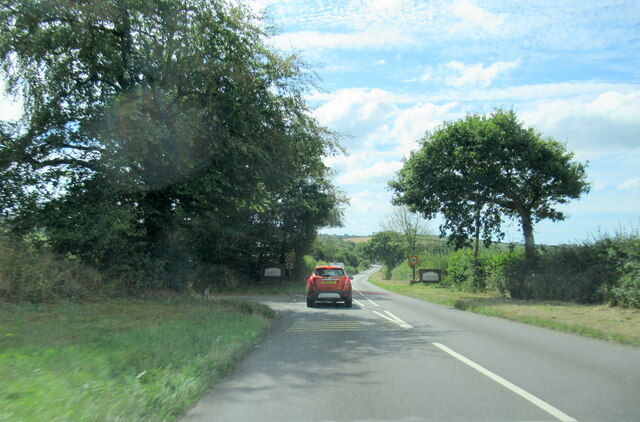
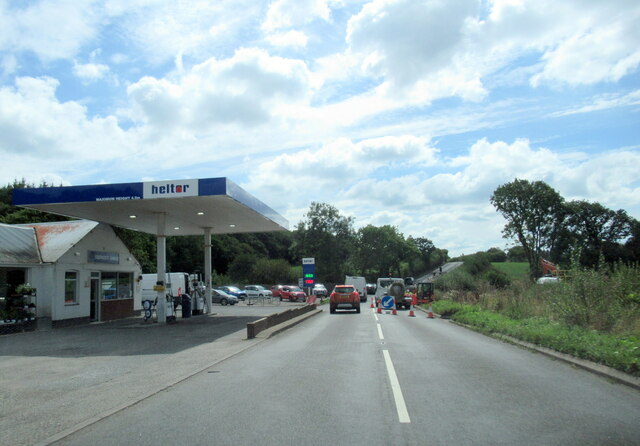
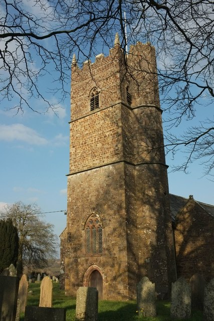
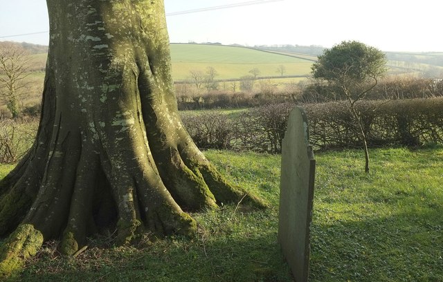
Sillick Moor Images

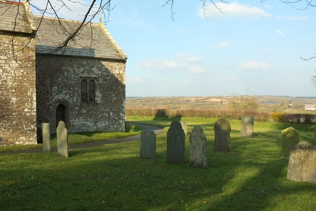
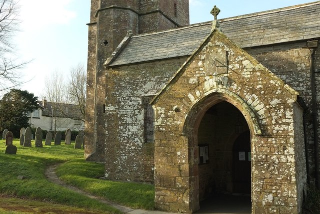
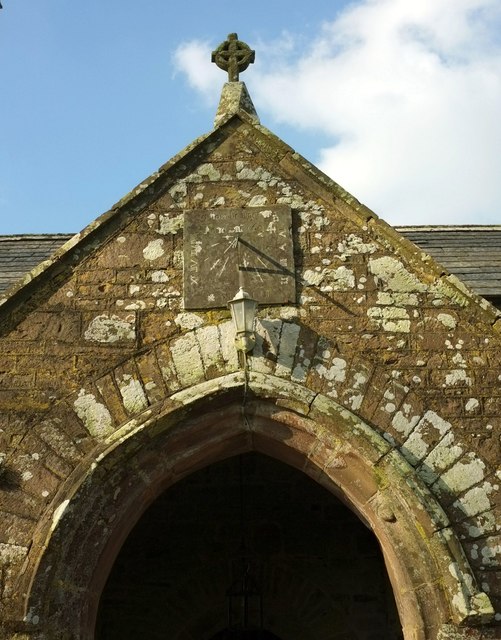
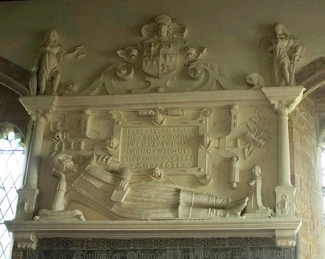
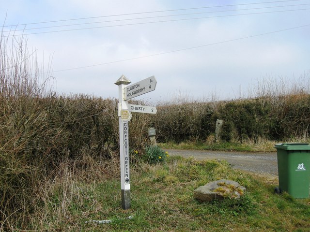
Images are sourced within 2km of 50.782836/-4.3560246 or Grid Reference SS3400. Thanks to Geograph Open Source API. All images are credited.

Clawton village sign on the A388
Southcott Garage by the A388
Church of St Leonard, Clawton A grade I listed church with a detailed description at <span class="nowrap"><a title="https://www.historicengland.org.uk/listing/the-list/list-entry/1104685" rel="nofollow ugc noopener" href="https://www.historicengland.org.uk/listing/the-list/list-entry/1104685">Link</a><img style="margin-left:2px;" alt="External link" title="External link - shift click to open in new window" src="https://s1.geograph.org.uk/img/external.png" width="10" height="10"/></span> .
Church of St Leonard, Clawton
A grade I listed church with a detailed description at LinkExternal link .
Churchyard, Clawton A tree and gravestone south of the church, with a view over the Claw valley behind.
Churchyard, Clawton
A tree and gravestone south of the church, with a view over the Claw valley behind.
Church of St Leonard, Clawton Looking across the churchyard from the same spot as <a href="https://www.geograph.org.uk/photo/5000932">SX3499 : Churchyard, Clawton</a>, with a view to Tinacre. For the church, see <a href="https://www.geograph.org.uk/photo/4873497">SX3499 : Church of St Leonard, Clawton</a>.
Church of St Leonard, Clawton
Looking across the churchyard from the same spot as SX3499 : Churchyard, Clawton, with a view to Tinacre. For the church, see SX3499 : Church of St Leonard, Clawton.
Church of St Leonard, Clawton The grade I listed church <span class="nowrap"><a title="https://www.historicengland.org.uk/listing/the-list/list-entry/1104685" rel="nofollow ugc noopener" href="https://www.historicengland.org.uk/listing/the-list/list-entry/1104685">Link</a><img style="margin-left:2px;" alt="External link" title="External link - shift click to open in new window" src="https://s1.geograph.org.uk/img/external.png" width="10" height="10"/></span> from the southeast; see also <a title="https://www.geograph.org.uk/search.php?i=63906680" href="https://www.geograph.org.uk/search.php?i=63906680">Link</a> .
Church of St Leonard, Clawton
The grade I listed church LinkExternal link from the southeast; see also Link .
Church of St Leonard, Clawton Showing "The south west porch has a coped gable and kneelers with a C19 cross on the apex of the gable and a 1634 slate sundial above an unusually tall 4-centred arched doorway with hollow chamfered jambs decorated with ballflowers" <span class="nowrap"><a title="https://www.historicengland.org.uk/listing/the-list/list-entry/1104685" rel="nofollow ugc noopener" href="https://www.historicengland.org.uk/listing/the-list/list-entry/1104685">Link</a><img style="margin-left:2px;" alt="External link" title="External link - shift click to open in new window" src="https://s1.geograph.org.uk/img/external.png" width="10" height="10"/></span> .
Church of St Leonard, Clawton
Showing "The south west porch has a coped gable and kneelers with a C19 cross on the apex of the gable and a 1634 slate sundial above an unusually tall 4-centred arched doorway with hollow chamfered jambs decorated with ballflowers" LinkExternal link .
Sundial, Church of St Leonard, Clawton A closer view than <a href="https://www.geograph.org.uk/photo/5001176">SX3499 : Church of St Leonard, Clawton</a>. The sundial dates from 1634 <span class="nowrap"><a title="https://www.historicengland.org.uk/listing/the-list/list-entry/1104685" rel="nofollow ugc noopener" href="https://www.historicengland.org.uk/listing/the-list/list-entry/1104685">Link</a><img style="margin-left:2px;" alt="External link" title="External link - shift click to open in new window" src="https://s1.geograph.org.uk/img/external.png" width="10" height="10"/></span> .
Sundial, Church of St Leonard, Clawton
A closer view than SX3499 : Church of St Leonard, Clawton. The sundial dates from 1634 LinkExternal link .
Osmond memorial, Clawton This "early C17 plaster wall monument" on the north wall of St Leonard's church is described in some detail at <span class="nowrap"><a title="https://www.historicengland.org.uk/listing/the-list/list-entry/1104685" rel="nofollow ugc noopener" href="https://www.historicengland.org.uk/listing/the-list/list-entry/1104685">Link</a><img style="margin-left:2px;" alt="External link" title="External link - shift click to open in new window" src="https://s1.geograph.org.uk/img/external.png" width="10" height="10"/></span> .
Osmond memorial, Clawton
This "early C17 plaster wall monument" on the north wall of St Leonard's church is described in some detail at LinkExternal link .
Church of St Leonard, Clawton The view from the northwest corner of the churchyard. See  <span class="nowrap"><a title="https://www.historicengland.org.uk/listing/the-list/list-entry/1104685" rel="nofollow ugc noopener" href="https://www.historicengland.org.uk/listing/the-list/list-entry/1104685">Link</a><img style="margin-left:2px;" alt="External link" title="External link - shift click to open in new window" src="https://s1.geograph.org.uk/img/external.png" width="10" height="10"/></span> and <a title="https://www.geograph.org.uk/search.php?i=63906680" href="https://www.geograph.org.uk/search.php?i=63906680">Link</a>
Church of St Leonard, Clawton
The view from the northwest corner of the churchyard. See LinkExternal link and Link
Field by Herdicott Cross Looking lengthwaya down a field that is much longer than it is wide. The roof of a barn at Higher Sellick can be made out in the centre over a hedge,
Field by Herdicott Cross
Looking lengthwaya down a field that is much longer than it is wide. The roof of a barn at Higher Sellick can be made out in the centre over a hedge,
Wide verge at Herdicott Cross Looking left from the gateway where <a href="https://www.geograph.org.uk/photo/5001237">SX3399 : Field by Herdicott Cross</a> was taken. The sign points down Clawton Bridleway 8 to Sellick.
Wide verge at Herdicott Cross
Looking left from the gateway where SX3399 : Field by Herdicott Cross was taken. The sign points down Clawton Bridleway 8 to Sellick.
Field, Corfcott Green The view is across the head of a shallow side valley of the Claw, with clusters of trees, on the right, around the stream; on the left, unexplained.
Field, Corfcott Green
The view is across the head of a shallow side valley of the Claw, with clusters of trees, on the right, around the stream; on the left, unexplained.
Old Milestone by the A388, Clawton parish Holsworthy slate by the A388, in parish of Clawton (Torridge District), by road edge cemented in beside railings, West side of road.

Lost since 1970

Inscription reads:-
: LANSON / 11 : : HOLSY / 3 :
(To Launceston and Holsworthy)

Devon & Dartmoor HER.
HER Number: MDV36209 <span class="nowrap"><a title="https://www.heritagegateway.org.uk/Gateway/Results_Single.aspx?uid=MDV36209&resourceID=104" rel="nofollow ugc noopener" href="https://www.heritagegateway.org.uk/Gateway/Results_Single.aspx?uid=MDV36209&resourceID=104">Link</a><img style="margin-left:2px;" alt="External link" title="External link - shift click to open in new window" src="https://s1.geograph.org.uk/img/external.png" width="10" height="10"/></span>

Milestone Society National ID: DV_HOLA03
Old Milestone by the A388, Clawton parish
Holsworthy slate by the A388, in parish of Clawton (Torridge District), by road edge cemented in beside railings, West side of road. Lost since 1970 Inscription reads:- : LANSON / 11 : : HOLSY / 3 : (To Launceston and Holsworthy) Devon & Dartmoor HER. HER Number: MDV36209 LinkExternal link Milestone Society National ID: DV_HOLA03
Entrance to Clawton
Entrance to Clawton
Corfcott Green
Corfcott Green
Herdicott cross
Herdicott cross
Clawton Village Hall
Show me another place!

Sillick Moor is located at Grid Ref: SS3400 (Lat: 50.782836, Lng: -4.3560246)

Administrative County: Devon

District: Torridge

Police Authority: Devon and Cornwall

What 3 Words

///excuse.surnames.tributes. Near Holsworthy, Devon

Nearby Locations

Sillick Moor

Related Wikis

Clawton

Clawton is a village and civil parish in the far west of Devon, England. It forms part of the local government district of Torridge. The village lies about...

Holsworthy railway station

Holsworthy was a railway station in Devon, England, on the now-closed railway line from Okehampton to Bude. It opened in 1879 to serve the market town...

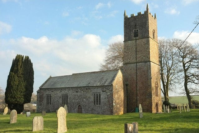
St Peter's and St Paul's Church, Holsworthy

St Peter's and St Paul's Church is a grade II* listed building and is the parish church of the small market town of Holsworthy, Devon, England. The present...

Holsworthy Community College

Holsworthy Community College is a co-educational secondary school located in Holsworthy in the English county of Devon.Previously a community school administered...

Have you been to Sillick Moor?

Leave your review of Sillick Moor below (or comments, questions and feedback).