The Tongue
Downs, Moorland in Ayrshire
Scotland
The Tongue
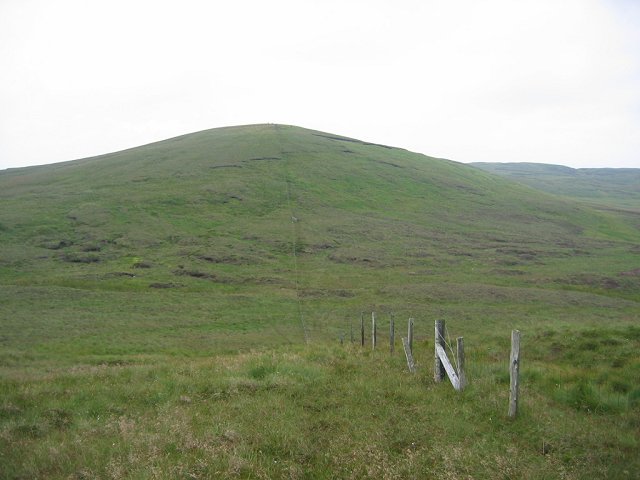
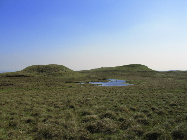
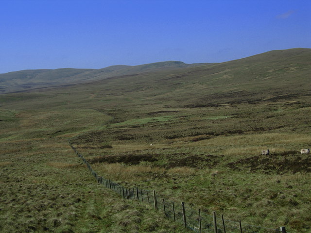
The Tongue, Ayrshire is a picturesque area located in the southwest of Scotland. It is characterized by its diverse landscape, which includes downs, moorland, and rolling hills. The area is known for its breathtaking natural beauty, with stunning views of the surrounding countryside.
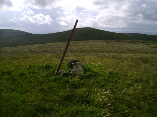
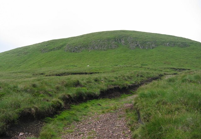
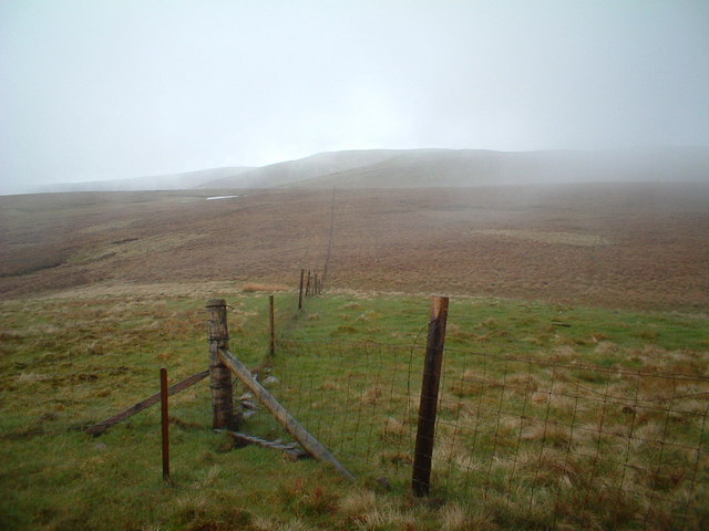
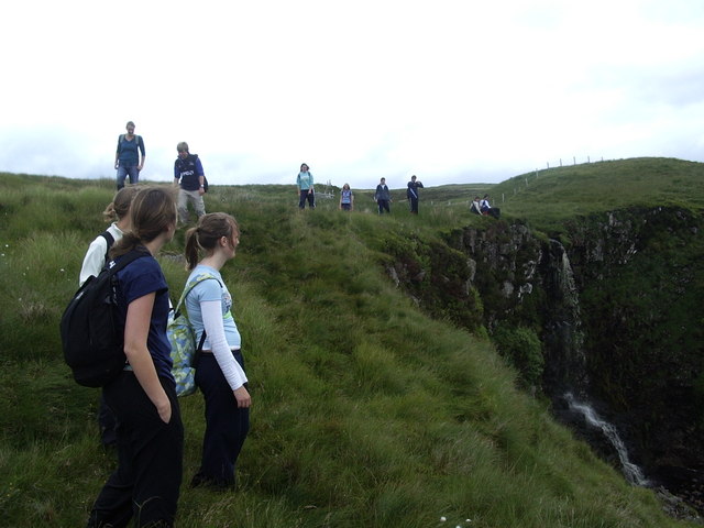
The downs in The Tongue are gently sloping grasslands that provide a tranquil and scenic setting. They are perfect for leisurely walks, offering visitors the opportunity to immerse themselves in the peacefulness of the countryside. The downs are often dotted with grazing livestock, adding to the rural charm of the area.
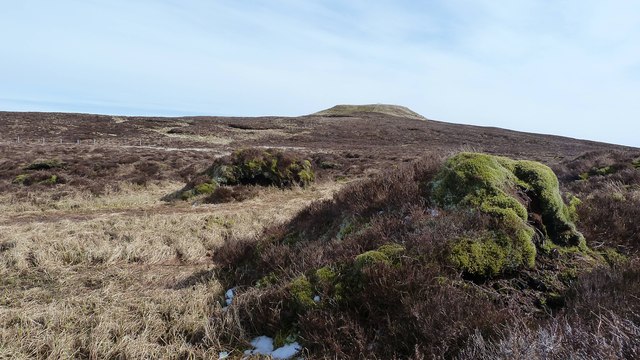
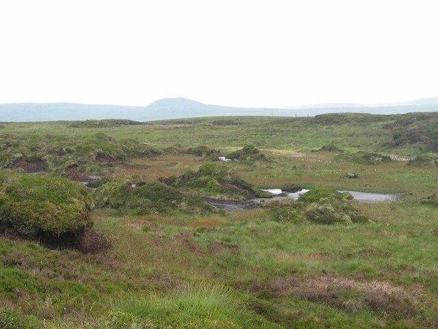
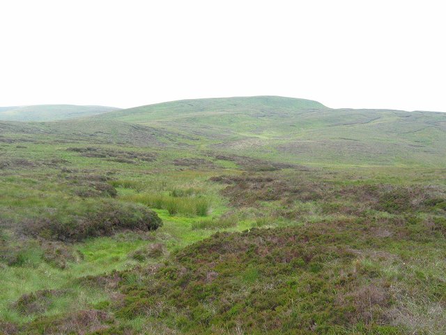
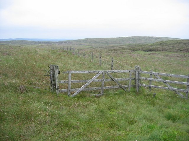
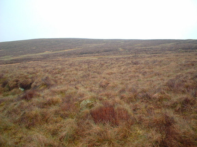
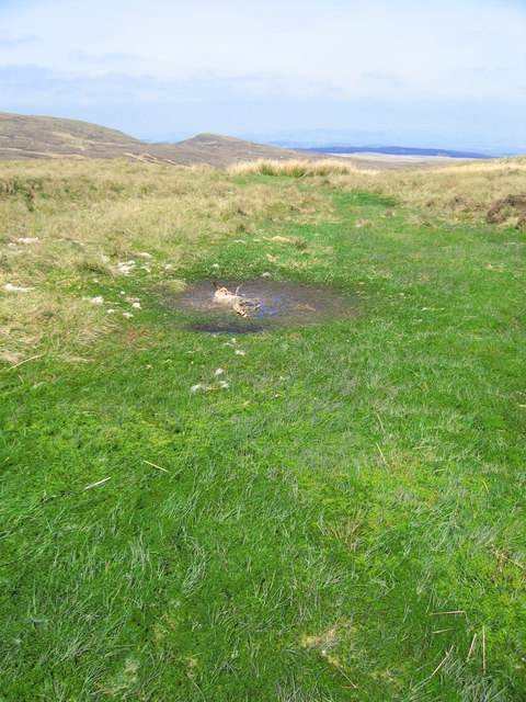
The moorland in The Tongue is a more rugged and wild landscape, characterized by heather-covered hills and scattered boulders. It provides a habitat for various species of flora and fauna, making it a popular spot for nature enthusiasts and birdwatchers. The moorland offers visitors the chance to explore and appreciate the unique ecosystem of the area.
The rolling hills of The Tongue add further beauty to the landscape. They create a sense of depth and dimension, with their gentle slopes and undulating terrain. The hills offer picturesque views from their peaks, allowing visitors to see for miles around and appreciate the vastness of the surrounding countryside.
Overall, The Tongue, Ayrshire is a place of natural wonder and tranquility. Its downs, moorland, and rolling hills provide a diverse and captivating landscape that is sure to enchant visitors seeking a peaceful escape amidst the beauty of nature.
If you have any feedback on the listing, please let us know in the comments section below.
The Tongue Images
Images are sourced within 2km of 55.811449/-4.7447016 or Grid Reference NS2860. Thanks to Geograph Open Source API. All images are credited.

The Tongue is located at Grid Ref: NS2860 (Lat: 55.811449, Lng: -4.7447016)
Unitary Authority: North Ayrshire
Police Authority: Ayrshire
What 3 Words
///help.refilled.uptown. Near Lochwinnoch, Renfrewshire
Nearby Locations
Related Wikis

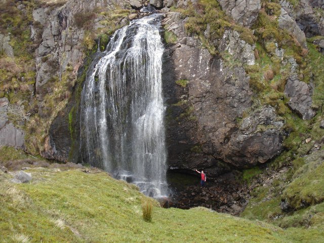
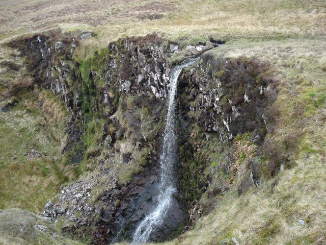
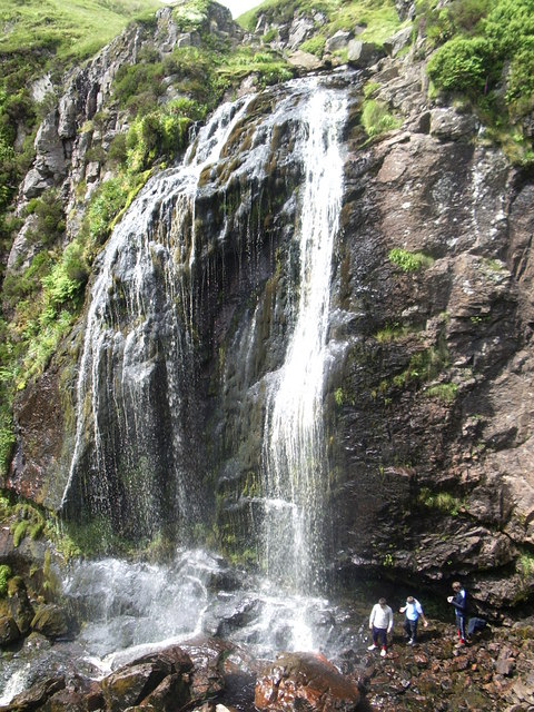
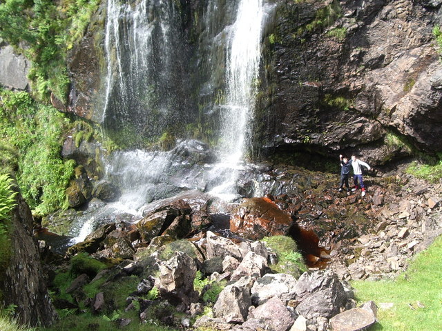
Spout of Garnock
The Spout of Garnock (or Garnock Spout) is a waterfall in Ayrshire, Scotland. At approximately 60–70 ft high, it is the county's highest waterfall. It...

Hill of Stake
Hill of Stake is a hill on the boundary between North Ayrshire and Renfrewshire, Scotland. == Geography == The hill is 522 metres (1,713 feet) high and...

British European Airways Flight S200P
British European Airways Flight S200P was a short-haul flight from London-Northolt Airport to Glasgow-Renfrew Airport, Scotland. On 21 April 1948, while...

Irish Law (mountain)
Irish Law is a mountain located in North Ayrshire, Scotland near the town of Largs. It has an elevation of 484 metres (1,588 ft) and a prominence of 80...
Nearby Amenities
Located within 500m of 55.811449,-4.7447016Have you been to The Tongue?
Leave your review of The Tongue below (or comments, questions and feedback).