Duchal Moor
Downs, Moorland in Renfrewshire
Scotland
Duchal Moor

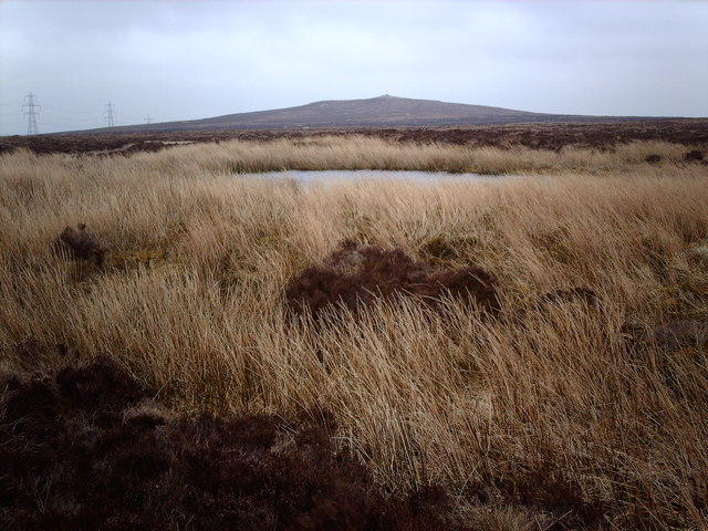
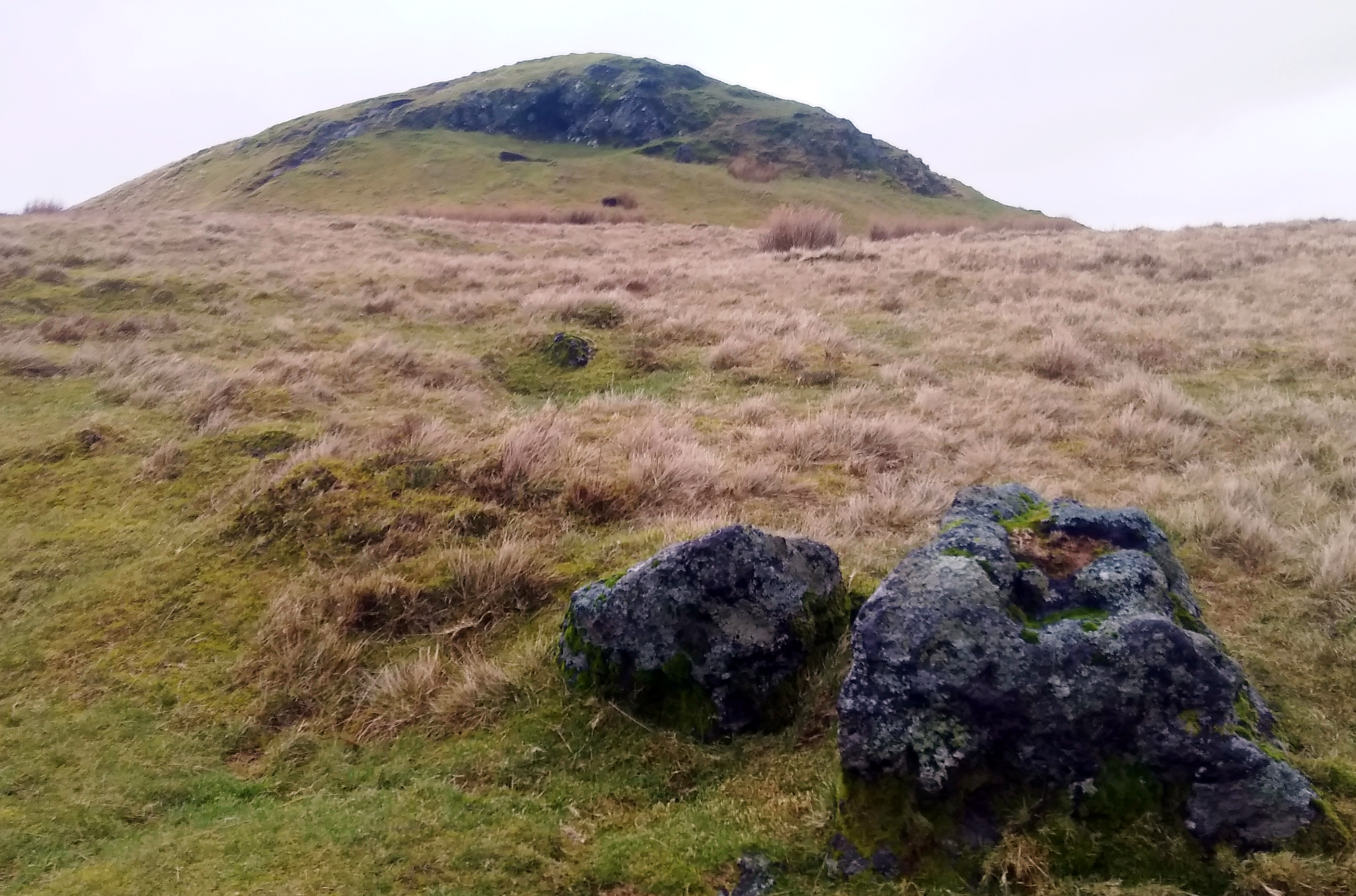
Duchal Moor is a sprawling expanse of moorland located in Renfrewshire, Scotland. Covering an area of approximately 3 square miles, it is nestled between the towns of Kilmacolm and Greenock. The moorland is characterized by its undulating terrain, featuring low hills and gentle slopes, giving it a picturesque and serene atmosphere.
The landscape of Duchal Moor is predominantly covered with heather, grasses, and scattered patches of gorse, interspersed with patches of bog and wetland areas. The moorland serves as a habitat for various wildlife species, including birds such as curlews, lapwings, and skylarks, as well as small mammals like rabbits and voles.
Walking through Duchal Moor, visitors can enjoy breathtaking panoramic views of the surrounding countryside. On clear days, one can catch glimpses of the nearby Clyde Estuary and the distant hills of Argyll, adding to the natural beauty of the area. The moorland also boasts a network of footpaths and trails, offering opportunities for outdoor activities such as hiking, birdwatching, and nature photography.
Duchal Moor holds historical significance as well, with remnants of ancient settlements and burial grounds scattered throughout the area. These archaeological sites serve as a testament to the long-standing human presence in the region.
Overall, Duchal Moor is a tranquil and visually stunning location, providing a haven for both nature enthusiasts and history lovers alike. Its untouched beauty and diverse wildlife make it a must-visit destination for those seeking a peaceful retreat in the heart of Renfrewshire.
If you have any feedback on the listing, please let us know in the comments section below.
Duchal Moor Images
Images are sourced within 2km of 55.866131/-4.7505896 or Grid Reference NS2767. Thanks to Geograph Open Source API. All images are credited.


Duchal Moor is located at Grid Ref: NS2767 (Lat: 55.866131, Lng: -4.7505896)
Unitary Authority: Inverclyde
Police Authority: Renfrewshire and Inverclyde
What 3 Words
///destroyer.divisions.prove. Near Kilmacolm, Inverclyde
Nearby Locations
Related Wikis

Inverclyde
Inverclyde (Scots: Inerclyde, Scottish Gaelic: Inbhir Chluaidh, pronounced [iɲiɾʲˈxl̪ˠuəj], "mouth of the Clyde") is one of 32 council areas used for local...

Inverclyde (UK Parliament constituency)
Inverclyde is a parliamentary constituency of the House of Commons of the Parliament of the United Kingdom. It replaced Greenock and Inverclyde and the...

Gryffe Reservoirs
The Gryffe Reservoirs, also spelled 'Gryfe', take their name from the River Gryffe, name deriving from the Gaelic garbh meaning "rough stream". are two...
Windy Hill, Renfrewshire
Windy Hill is a 316 metres (1.037 feet) high hill in Renfrewshire, Scotland. It is one of the TuMPs of the Lowlands. == Geography == The hill is located...
Have you been to Duchal Moor?
Leave your review of Duchal Moor below (or comments, questions and feedback).