Summerwell Moor

Downs, Moorland in Devon Torridge

England

Summerwell Moor

Bursdon Moor
Bursdon Moor Credit: Dani

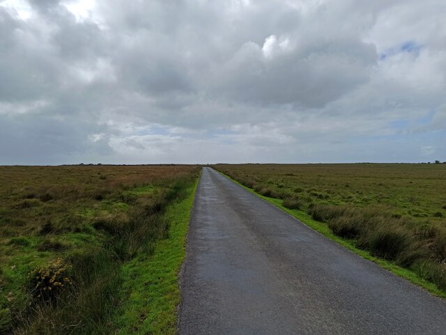
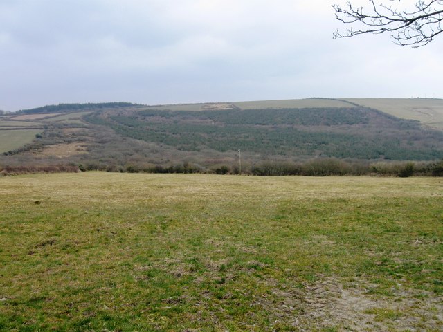
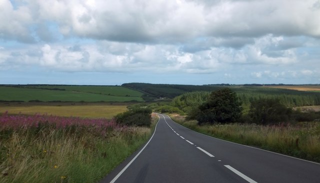
Summerwell Moor is a picturesque and idyllic area located in Devon, England. Nestled amidst the captivating landscape of the county, this moorland is a haven for nature lovers and adventurers. Stretching across an expansive area, Summerwell Moor is characterized by its rolling hills, vast open spaces, and abundant wildlife.

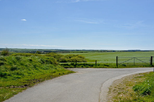
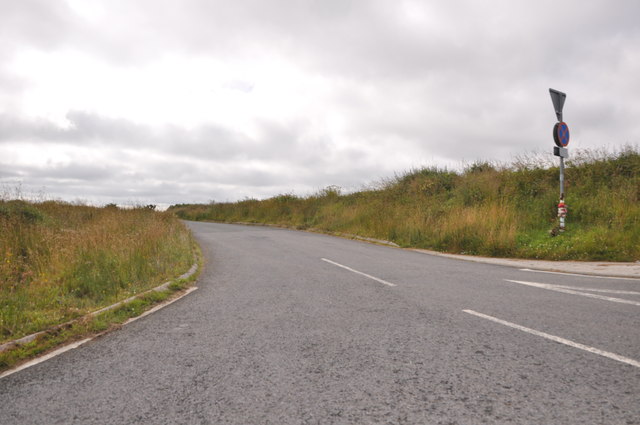
The moorland boasts an array of captivating features, including heather-covered expanses, glistening streams, and towering granite tors. The undulating terrain provides a perfect setting for outdoor activities such as hiking, cycling, and birdwatching. Visitors can explore the numerous trails that wind through the moor, offering breathtaking views of the surrounding countryside.

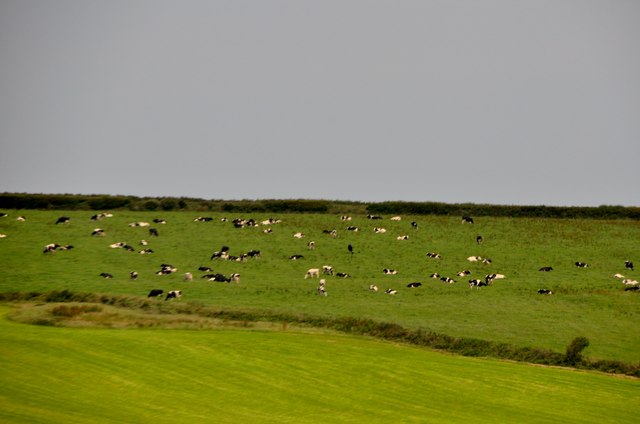
One of the highlights of Summerwell Moor is its rich biodiversity. The area is home to a diverse range of flora and fauna, with rare species finding refuge in its protected habitats. Bird enthusiasts can spot a variety of species, including the elusive Dartford warbler and the majestic buzzard soaring above the moor. Additionally, the moorland is inhabited by wild ponies, adding to the charm and beauty of the landscape.

Summerwell Moor is also steeped in history and culture. Ancient burial mounds and stone circles dot the landscape, serving as reminders of the area's rich heritage. Visitors can immerse themselves in the history of the moor by exploring these ancient sites and learning about the people who once inhabited the area.

In summary, Summerwell Moor is a captivating and enchanting destination in Devon. With its stunning natural beauty, diverse wildlife, and rich history, it offers a truly immersive and unforgettable experience for visitors.

If you have any feedback on the listing, please let us know in the comments section below.

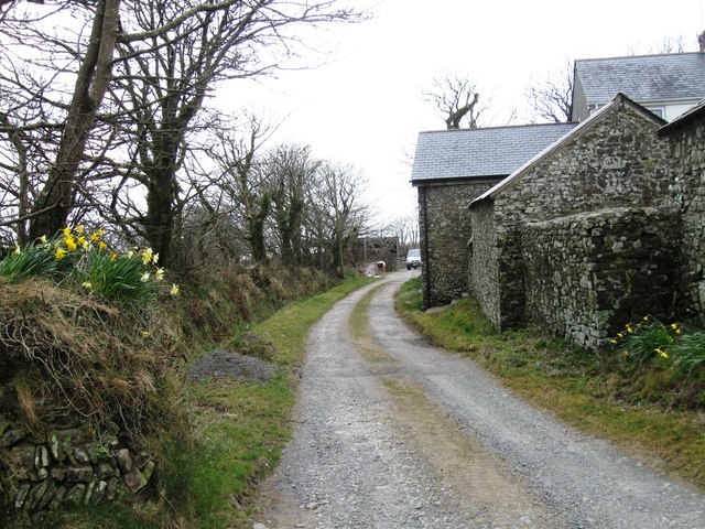
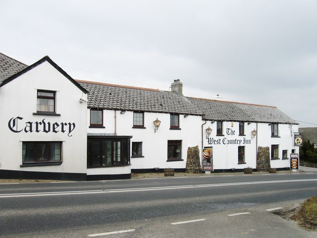
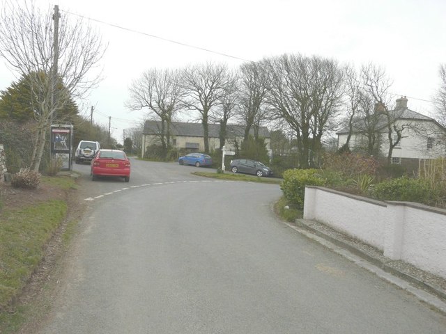
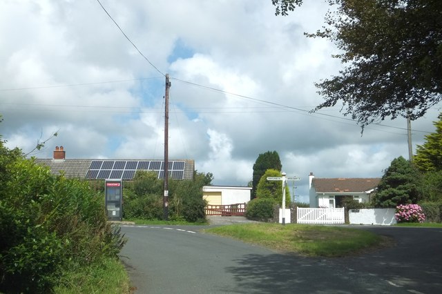
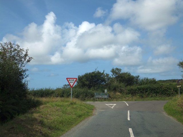
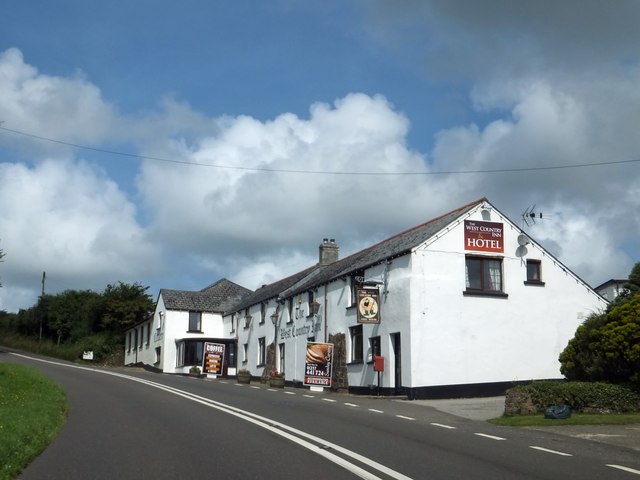
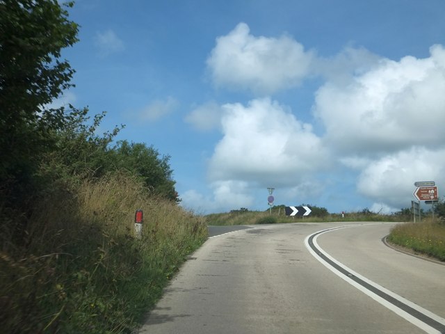
Summerwell Moor Images

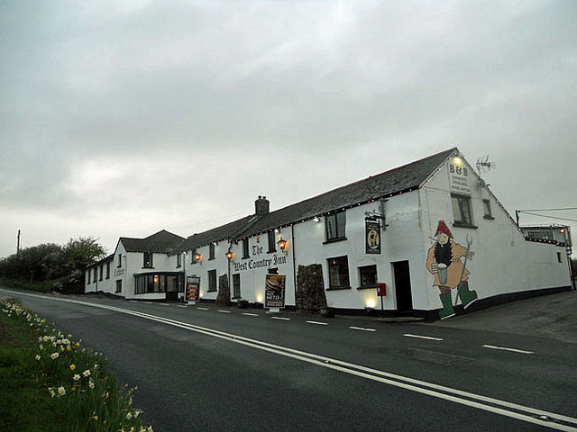
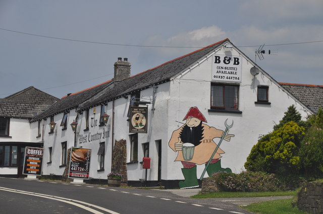
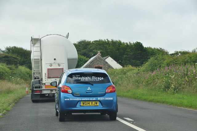
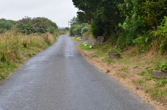
Images are sourced within 2km of 50.9515/-4.4542213 or Grid Reference SS2719. Thanks to Geograph Open Source API. All images are credited.

Bursdon Moor
Bursdon Moor
Evening at The West Country Inn
Torridge : The West Country Inn The West Country Inn has a nice painting of a bloke from the West Country having a drink on the side of the wall.
Torridge : The West Country Inn
The West Country Inn has a nice painting of a bloke from the West Country having a drink on the side of the wall.
Torridge : Cows in a Field From the A39 looking across to these cows grazing on the hillside.
Torridge : Cows in a Field
From the A39 looking across to these cows grazing on the hillside.
Fields south of Bursdon
The West Country Inn
Road junction at Meddon The signpost points to Welcombe 3, Bradworthy 4 and Holsworthy 12 (miles). My car is parked beside the telephone box marked on the map.
Road junction at Meddon
The signpost points to Welcombe 3, Bradworthy 4 and Holsworthy 12 (miles). My car is parked beside the telephone box marked on the map.
Road junction in Meddon The phonebox is at the central road junction in the village
Road junction in Meddon
The phonebox is at the central road junction in the village
Signs at Meddon Cross
The West Country Inn north of Meddon A picture from about the same position was taken in 2009 <a href="https://www.geograph.org.uk/photo/1198195">SS2719 : The West Country Inn, near Bursdon</a>; then, the inn offered B&B, now it is a hotel; then there was a painting of a farm worker drinking (an enlarged version of the current sign), on what is now a plain white wall.
The West Country Inn north of Meddon
A picture from about the same position was taken in 2009 SS2719 : The West Country Inn, near Bursdon; then, the inn offered B&B, now it is a hotel; then there was a painting of a farm worker drinking (an enlarged version of the current sign), on what is now a plain white wall.
Road junction on the edge of Bursdon Moor The main road (A39) skirts the edge of the moor, while the unfenced road to the left crosses it on the way to Tosberry
Road junction on the edge of Bursdon Moor
The main road (A39) skirts the edge of the moor, while the unfenced road to the left crosses it on the way to Tosberry
A39 from Summerville Cross Another curious name, since the local farm is Summerwell, and the modern forest plantations are also called Summerwell Moor Plantations
A39 from Summerville Cross
Another curious name, since the local farm is Summerwell, and the modern forest plantations are also called Summerwell Moor Plantations
The view towards Meddon from a road near Trew Farm
Torridge : Country Lane A country lane heading off from the A39 in Torridge.
Torridge : Country Lane
A country lane heading off from the A39 in Torridge.
Torridge : The A39 Looking along the A39 as it heads through the Torridge District.
Torridge : The A39
Looking along the A39 as it heads through the Torridge District.
Torridge : The A39 The A39 and a car which had just cut in - bit dangerous really.
Torridge : The A39
The A39 and a car which had just cut in - bit dangerous really.
Lane near Meddon Heading west.
Lane near Meddon
Heading west.
Show me another place!

Summerwell Moor is located at Grid Ref: SS2719 (Lat: 50.9515, Lng: -4.4542213)

Administrative County: Devon

District: Torridge

Police Authority: Devon and Cornwall

What 3 Words

///outbound.feels.encoder. Near Flexbury, Cornwall

Nearby Locations

Summerwell Moor

Related Wikis

Bursdon

Bursdon is a village in north west Devon, England. It is located very close to the border with Cornwall.

Meddon Green Local Nature Reserve

Meddon Green is a 1.7 hectare (ha) Local Nature Reserve, located at Meddon, near Bideford in Devon. It consists of culm grassland surrounded by hazel coppice...

Tosberry

Tosberry (alternate spelling Tosbury) is a hamlet in the parish of Hartland, Devon, England, United Kingdom. It is situated 2.6 miles South of Hartland...

Meddon Moor

Meddon Moor is a Site of Special Scientific Interest (SSSI) in Cornwall, England. The moor is located in the very north-eastern corner of Cornwall, on...

Ballhill

Ballhill is a village in Devon, England.

Eastcott, Cornwall

Eastcott (Cornish: Bosest) is a hamlet 6 miles (9.7 km) north-east of Bude in Cornwall, England. The hamlet is 1 mile (1.6 km) east of Gooseham in the...

Gooseham Mill

Gooseham Mill is a hamlet in the parish of Morwenstow, Cornwall, England.The hamlet lies below Gooseham hamlet, in the Marsland valley. The county border...

The Small School

The Small School was a coeducational private school for children ages 11–16, located in Hartland, Devon, England, that closed in 2016. == History == Satish...

Nearby Amenities

Located within 500m of 50.9515,-4.4542213
Power: pole
Lat/Long: 50.9532026/-4.4505921
Power: pole
Lat/Long: 50.9521296/-4.4525045
Power: pole
Lat/Long: 50.9515348/-4.4535425
Power: pole
Lat/Long: 50.9509096/-4.4546369
Power: pole
Lat/Long: 50.9503757/-4.455632
Power: pole
Lat/Long: 50.9497589/-4.4566888
Power: pole
Lat/Long: 50.9493229/-4.4574291
Power: pole
Lat/Long: 50.9488261/-4.4583222
Man Made: mast
Tower Type: communication
Lat/Long: 50.9491353/-4.4583383
The data included in this document is from www.openstreetmap.org. The data is made available under ODbL.

Have you been to Summerwell Moor?

Leave your review of Summerwell Moor below (or comments, questions and feedback).