Darndaff Moor
Downs, Moorland in Renfrewshire
Scotland
Darndaff Moor
Darndaff Moor is a picturesque expanse of downs and moorland located in Renfrewshire, Scotland. Stretching over an area of approximately 100 acres, it is a haven for nature enthusiasts and offers a tranquil escape from the hustle and bustle of urban life.
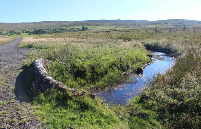
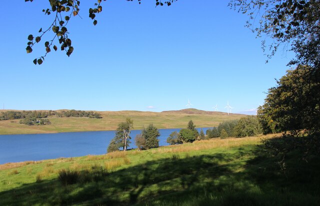
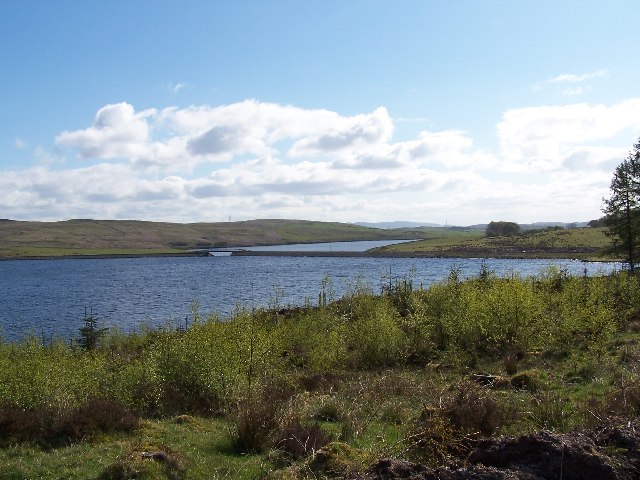
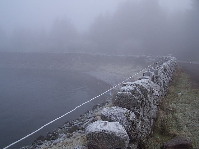
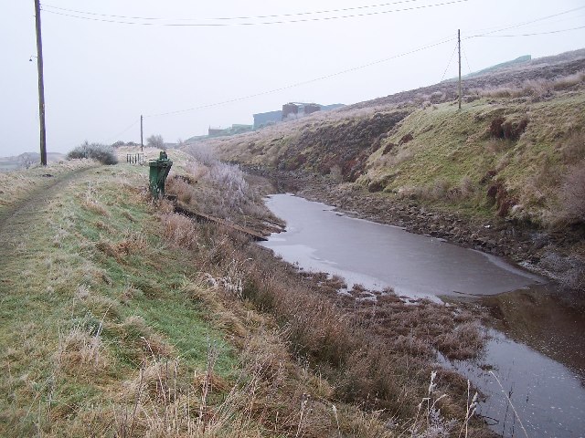
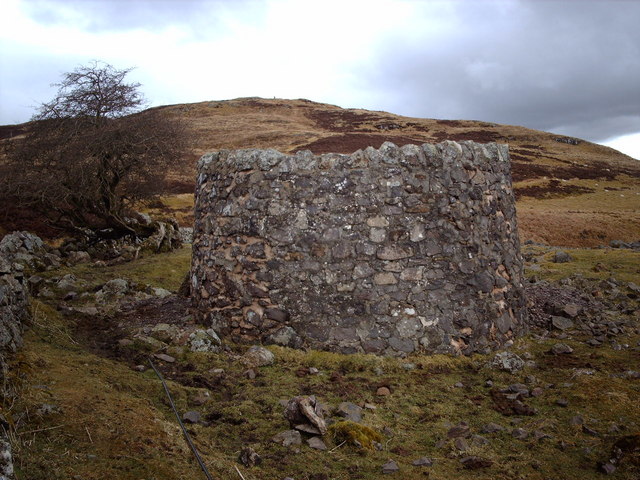
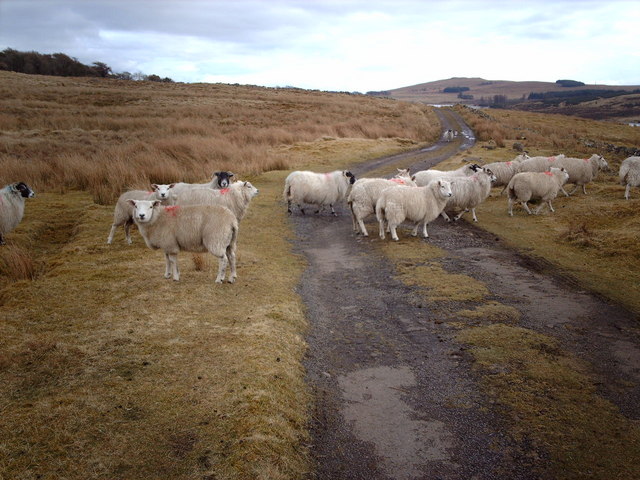
The moorland landscape is characterized by undulating hills, heather-covered slopes, and scattered patches of woodland. The area is home to a diverse range of flora and fauna, with species such as heather, bracken, gorse, and various grasses dominating the vegetation. The moorland provides a crucial habitat for numerous bird species, including skylarks, meadow pipits, and curlews, as well as small mammals like voles and shrews.
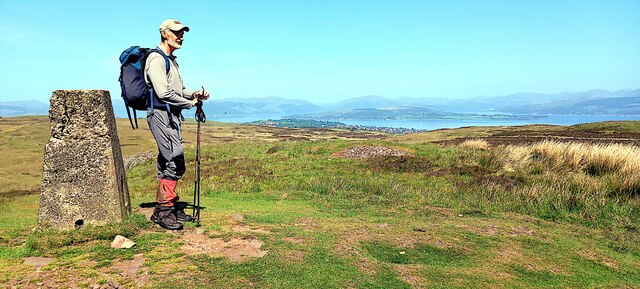
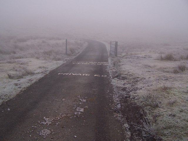
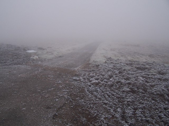
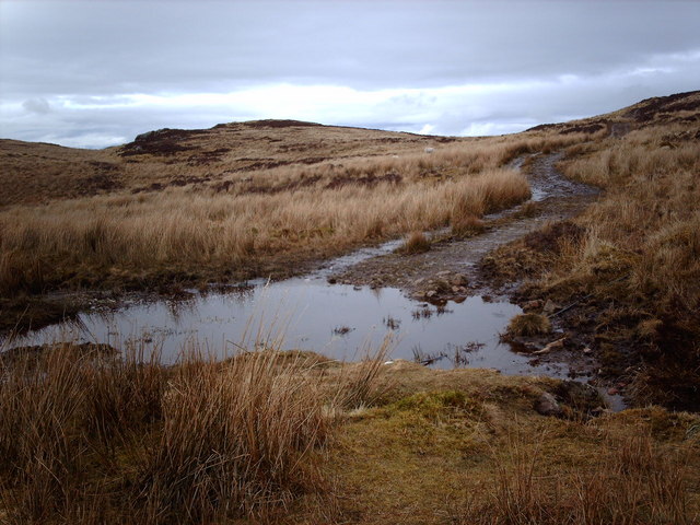
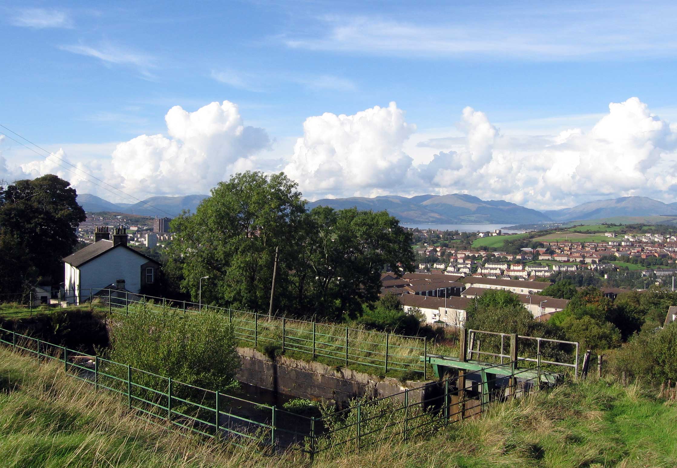
Visitors to Darndaff Moor can explore the area through a network of well-maintained footpaths and trails, allowing for leisurely walks or more challenging hikes. The moor offers breathtaking panoramic views, particularly from the higher vantage points, where one can see the surrounding countryside and distant hills.
The tranquil atmosphere of the moorland is complemented by the absence of major roads or human settlements nearby, making it an ideal spot for relaxation and contemplation. The area is also popular for birdwatching, photography, and nature study, attracting visitors from both local communities and beyond.
Darndaff Moor exemplifies the natural beauty of Renfrewshire, offering a serene and unspoiled landscape that serves as a valuable ecological resource and a place of respite for visitors seeking connection with nature.
If you have any feedback on the listing, please let us know in the comments section below.
Darndaff Moor Images
Images are sourced within 2km of 55.919458/-4.7615708 or Grid Reference NS2773. Thanks to Geograph Open Source API. All images are credited.


Darndaff Moor is located at Grid Ref: NS2773 (Lat: 55.919458, Lng: -4.7615708)
Unitary Authority: Inverclyde
Police Authority: Renfrewshire and Inverclyde
What 3 Words
///flips.flame.trains. Near Greenock, Inverclyde
Nearby Locations
Related Wikis

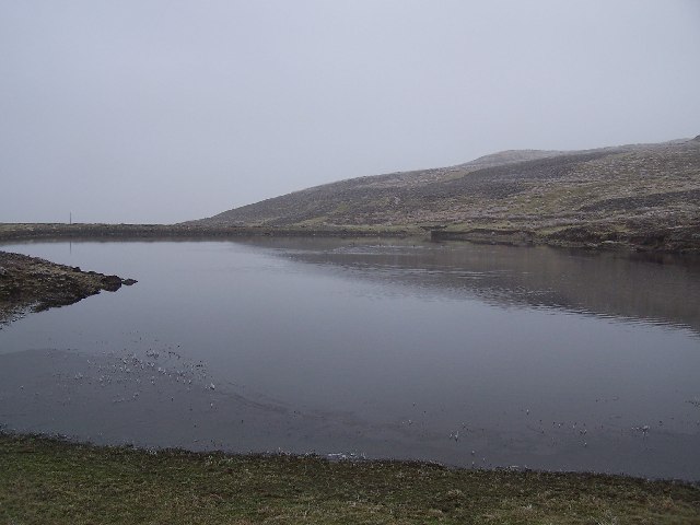
Gryffe Reservoirs
The Gryffe Reservoirs, also spelled 'Gryfe', take their name from the River Gryffe, name deriving from the Gaelic garbh meaning "rough stream". are two...

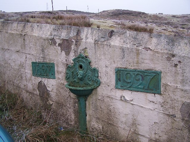
Loch Thom
Loch Thom is a reservoir which since 1827 has provided a water supply to the town of Greenock in Inverclyde, Scotland. It is named after the civil engineer...

Inverclyde (UK Parliament constituency)
Inverclyde is a parliamentary constituency of the House of Commons of the Parliament of the United Kingdom. It replaced Greenock and Inverclyde and the...
Overton, Greenock
Overton is an area in the suburbs of Greenock, Inverclyde. Overton offers excellent views across the River Clyde and suburban Greenock. The area is the...

Inverclyde
Inverclyde (Scots: Inerclyde, Scottish Gaelic: Inbhir Chluaidh, pronounced [iɲiɾʲˈxl̪ˠuəj], "mouth of the Clyde") is one of 32 council areas used for local...
Upper Greenock railway station
Upper Greenock railway station was a railway station serving the town of Greenock, Inverclyde, Scotland, originally as part of the Greenock and Wemyss...

Whinhill railway station
Whinhill railway station is a railway station located in the east of the town of Greenock, Inverclyde, Scotland. The station is managed by ScotRail and...

Lynedoch railway station
Greenock Lynedoch was a railway station serving Greenock, Inverclyde, Scotland, originally as part of the Greenock and Ayrshire Railway. == History... ==
Nearby Amenities
Located within 500m of 55.919458,-4.7615708Have you been to Darndaff Moor?
Leave your review of Darndaff Moor below (or comments, questions and feedback).