Meddon Moor

Downs, Moorland in Devon Torridge

England

Meddon Moor

Evening at The West Country Inn
Evening at The West Country Inn Credit: Row17

Meddon Moor, located in the county of Devon, England, is a picturesque area known for its diverse landscapes comprising both downs and moorland. Covering an extensive area, the moor is situated near the small village of Meddon, nestled in the heart of the North Devon countryside.

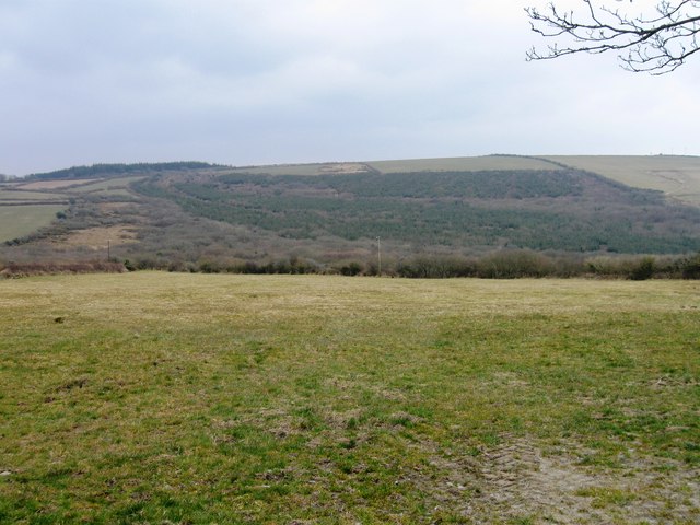
The downs of Meddon Moor are characterized by rolling hills with open grasslands, offering panoramic views of the surrounding countryside. These areas are often used for grazing livestock, adding to the scenic beauty of the region. The downs are also home to a variety of flora and fauna, including wildflowers and bird species, making it an attractive spot for nature enthusiasts and birdwatchers.

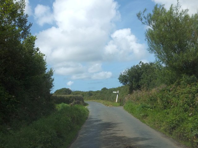
The moorland of Meddon Moor presents a different landscape altogether. It is characterized by expansive, open spaces covered in heather, gorse, and bracken, creating a rugged and untamed atmosphere. This type of habitat provides a haven for many unique plant and animal species that thrive in the harsh conditions of the moor. Visitors to the moorland can witness the beauty of these resilient plants and may even catch a glimpse of the native wildlife, such as Dartford warblers and adders.

Meddon Moor offers a range of recreational opportunities for visitors. The diverse terrain makes it an ideal location for walking, hiking, and horse riding, with numerous trails and paths crisscrossing the area. Additionally, the moorland is a popular destination for photographers and artists, who are drawn to its wild and unspoiled beauty.

Overall, Meddon Moor presents a captivating blend of downs and moorland, showcasing the natural wonders of Devon's countryside. Its scenic landscapes, diverse wildlife, and recreational activities make it a must-visit destination for nature enthusiasts and those seeking a tranquil escape.

If you have any feedback on the listing, please let us know in the comments section below.
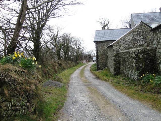
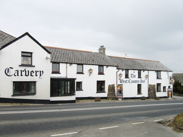
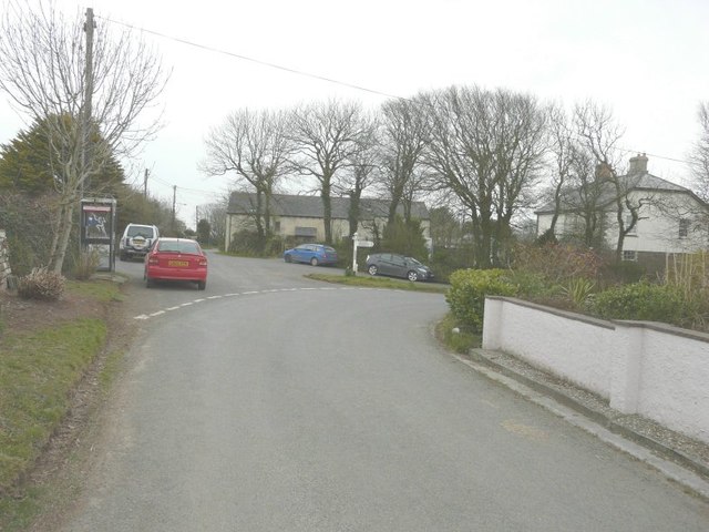
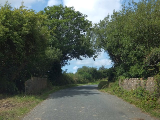
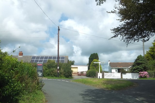
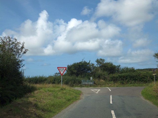
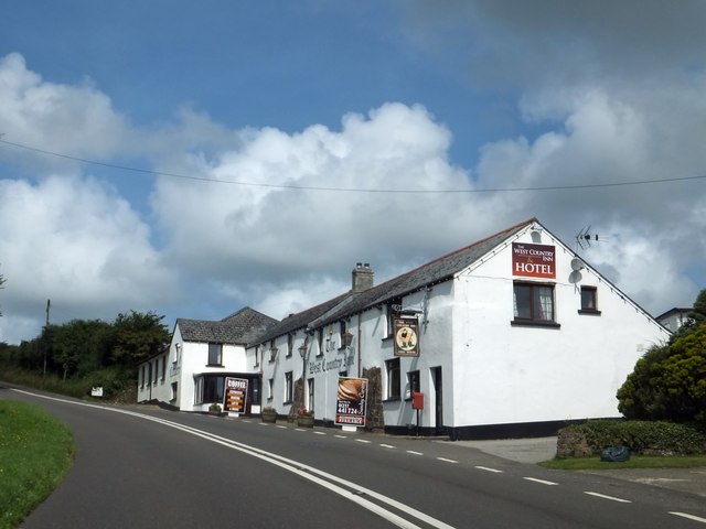
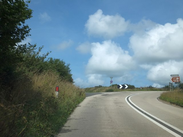
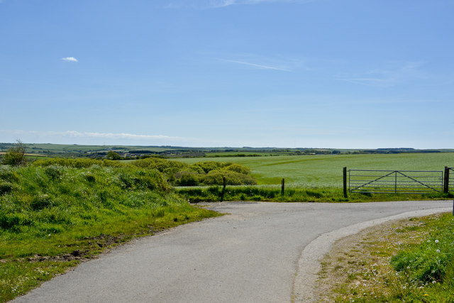
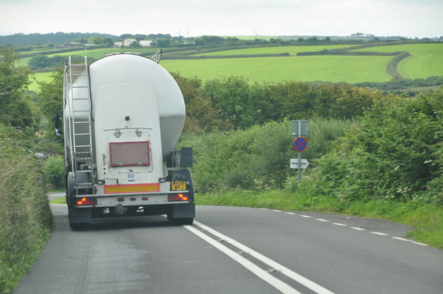
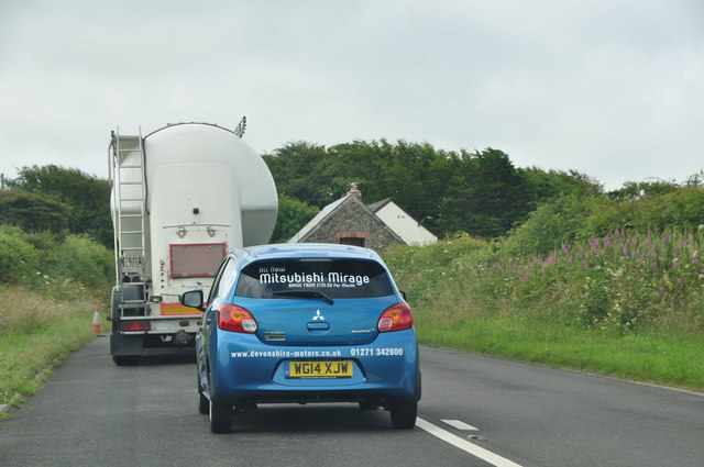
Meddon Moor Images

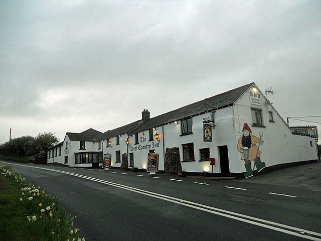
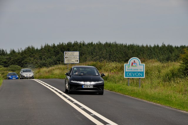
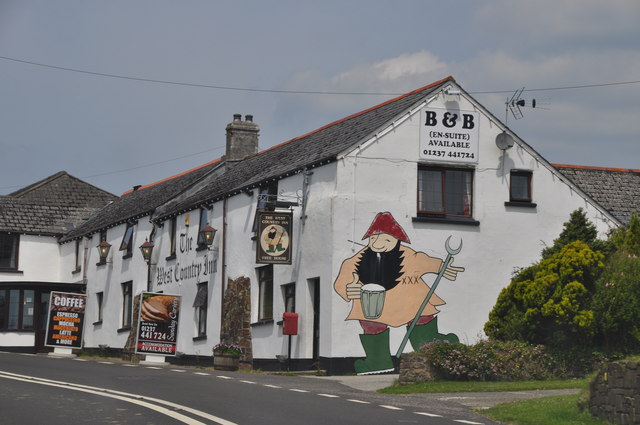
Images are sourced within 2km of 50.931414/-4.4607493 or Grid Reference SS2717. Thanks to Geograph Open Source API. All images are credited.

Evening at The West Country Inn
North Cornwall : Devon Sign & A39 Road The A39 crosses back into civilisation as we know it here as it enters Devon from Cornwall.
North Cornwall : Devon Sign & A39 Road
The A39 crosses back into civilisation as we know it here as it enters Devon from Cornwall.
Torridge : The West Country Inn The West Country Inn has a nice painting of a bloke from the West Country having a drink on the side of the wall.
Torridge : The West Country Inn
The West Country Inn has a nice painting of a bloke from the West Country having a drink on the side of the wall.
Fields south of Bursdon
The West Country Inn
Road junction at Meddon The signpost points to Welcombe 3, Bradworthy 4 and Holsworthy 12 (miles). My car is parked beside the telephone box marked on the map.
Road junction at Meddon
The signpost points to Welcombe 3, Bradworthy 4 and Holsworthy 12 (miles). My car is parked beside the telephone box marked on the map.
Brimford Bridge and signpost at Brimford Cross This is the first bridge over the River Torridge.  The signpost has been leaning for some time (<a href="https://www.geograph.org.uk/photo/1576888">SS2817 : Brimford Cross, near Meddon</a> shows it in 2009)
Brimford Bridge and signpost at Brimford Cross
This is the first bridge over the River Torridge. The signpost has been leaning for some time (SS2817 : Brimford Cross, near Meddon shows it in 2009)
Bridge near Brimford Bridge Just west of Brimford Bridge, the road crosses a tributary of the Torridge on this small bridge
Bridge near Brimford Bridge
Just west of Brimford Bridge, the road crosses a tributary of the Torridge on this small bridge
Road junction in Meddon The phonebox is at the central road junction in the village
Road junction in Meddon
The phonebox is at the central road junction in the village
Signs at Meddon Cross
The West Country Inn north of Meddon A picture from about the same position was taken in 2009 <a href="https://www.geograph.org.uk/photo/1198195">SS2719 : The West Country Inn, near Bursdon</a>; then, the inn offered B&B, now it is a hotel; then there was a painting of a farm worker drinking (an enlarged version of the current sign), on what is now a plain white wall.
The West Country Inn north of Meddon
A picture from about the same position was taken in 2009 SS2719 : The West Country Inn, near Bursdon; then, the inn offered B&B, now it is a hotel; then there was a painting of a farm worker drinking (an enlarged version of the current sign), on what is now a plain white wall.
Road junction on the edge of Bursdon Moor The main road (A39) skirts the edge of the moor, while the unfenced road to the left crosses it on the way to Tosberry
Road junction on the edge of Bursdon Moor
The main road (A39) skirts the edge of the moor, while the unfenced road to the left crosses it on the way to Tosberry
The view towards Meddon from a road near Trew Farm
Torridge : The A39 Looking along the A39 as it heads through the Torridge District.
Torridge : The A39
Looking along the A39 as it heads through the Torridge District.
Torridge : The A39 The A39 and a car which had just cut in - bit dangerous really.
Torridge : The A39
The A39 and a car which had just cut in - bit dangerous really.
Torridge : The A39 Looking along the A39 as it heads through Torridge.
Torridge : The A39
Looking along the A39 as it heads through Torridge.
Cornwall : The A39 & Cornwall Sign A sign welcomes you to Cornwall on the A39.
Cornwall : The A39 & Cornwall Sign
A sign welcomes you to Cornwall on the A39.
Show me another place!

Meddon Moor is located at Grid Ref: SS2717 (Lat: 50.931414, Lng: -4.4607493)

Administrative County: Devon

District: Torridge

Police Authority: Devon and Cornwall

What 3 Words

///seatbelt.wallet.decency. Near Flexbury, Cornwall

Nearby Locations

Meddon Meddon Moor

Related Wikis

Meddon Moor

Meddon Moor is a Site of Special Scientific Interest (SSSI) in Cornwall, England. The moor is located in the very north-eastern corner of Cornwall, on...

Meddon Green Local Nature Reserve

Meddon Green is a 1.7 hectare (ha) Local Nature Reserve, located at Meddon, near Bideford in Devon. It consists of culm grassland surrounded by hazel coppice...

Bursdon

Bursdon is a village in north west Devon, England. It is located very close to the border with Cornwall.

Eastcott, Cornwall

Eastcott (Cornish: Bosest) is a hamlet 6 miles (9.7 km) north-east of Bude in Cornwall, England. The hamlet is 1 mile (1.6 km) east of Gooseham in the...

Killarney Springs

Killarney Springs was a leisure park situated near Bude in Cornwall. The park was established in 1990, and opened for the 1991 summer season. The park...

Crimp, Cornwall

Crimp is a hamlet in the parish of Morwenstow, Cornwall, England. == References ==

West Youlstone

West Youlstone is a hamlet in north Cornwall, England, United Kingdom. It lies seven miles north north west of Bude and north of Kilkhampton along the...

Gooseham Mill

Gooseham Mill is a hamlet in the parish of Morwenstow, Cornwall, England.The hamlet lies below Gooseham hamlet, in the Marsland valley. The county border...

Nearby Amenities

Located within 500m of 50.931414,-4.4607493
Power: pole
Source: bing
Lat/Long: 50.9353714/-4.4639307
Power: pole
Lat/Long: 50.9333768/-4.4647434
Power: pole
Lat/Long: 50.9327987/-4.4652396
Material: wood
Power: pole
Lat/Long: 50.9320211/-4.4656393
Material: wood
Power: pole
Lat/Long: 50.9312181/-4.4660148
Material: wood
Power: pole
Lat/Long: 50.930334/-4.4664708
Material: wood
Power: pole
Lat/Long: 50.9294887/-4.4668597
Power: pole
Source: bing
Lat/Long: 50.935248/-4.462308
Power: pole
Source: bing
Lat/Long: 50.9351398/-4.4609696
Power: pole
Source: bing
Lat/Long: 50.9350105/-4.4594045
Power: pole
Source: bing
Lat/Long: 50.9349049/-4.4580419
Power: pole
Source: bing
Lat/Long: 50.9347967/-4.4567625
The data included in this document is from www.openstreetmap.org. The data is made available under ODbL.

Have you been to Meddon Moor?

Leave your review of Meddon Moor below (or comments, questions and feedback).