Bulland Downs
Downs, Moorland in Cornwall
England
Bulland Downs

Bulland Downs, located in Cornwall, England, is a captivating area of moorland known for its breathtaking natural beauty and historical significance. Stretching across approximately 2,000 acres, this vast expanse of land offers visitors a unique glimpse into Cornwall's diverse landscape.
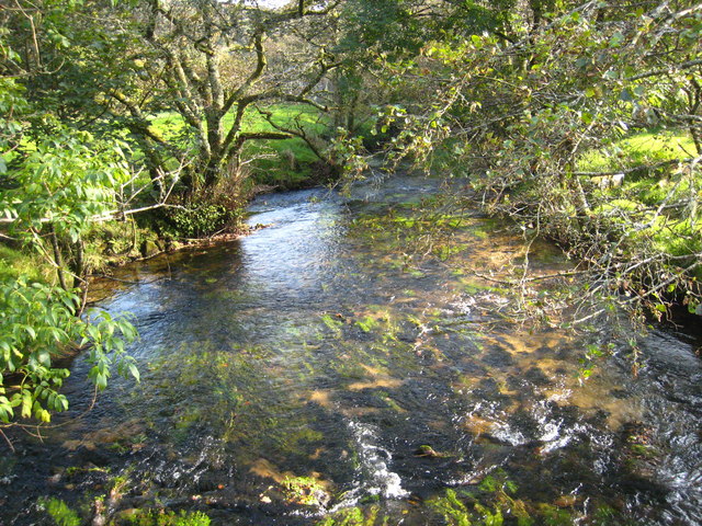
The Downs are characterized by rolling hills, expansive grasslands, and stunning panoramic views of the surrounding countryside. The area is rich in flora and fauna, with heather, gorse, and wildflowers painting the landscape in vibrant colors during the summer months. It is also home to a variety of wildlife, including rare birds, butterflies, and small mammals.
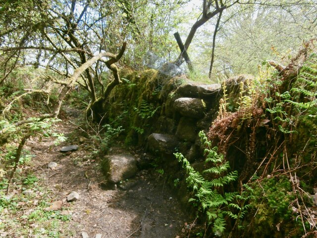
One of the main attractions of Bulland Downs is its historical significance. The area is scattered with remnants of ancient settlements, including stone circles, burial mounds, and Bronze Age barrows. These archaeological sites provide insight into the region's past and offer a fascinating glimpse into the lives of its early inhabitants.
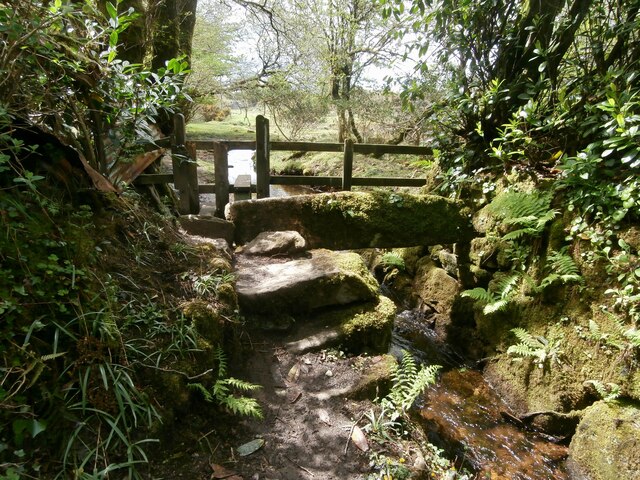
Bulland Downs is a popular destination for outdoor enthusiasts, offering numerous walking trails and paths that allow visitors to explore the area at their own pace. The rugged terrain provides an excellent opportunity for hiking, birdwatching, and photography.
Visitors to Bulland Downs can also enjoy the tranquility and solitude that the moorland offers, providing a peaceful escape from the hustle and bustle of everyday life. Whether it's admiring the stunning vistas, exploring the archaeological sites, or simply enjoying a leisurely walk, Bulland Downs promises a memorable experience for all who venture into its remarkable landscape.
If you have any feedback on the listing, please let us know in the comments section below.
Bulland Downs Images
Images are sourced within 2km of 50.497931/-4.4950269 or Grid Reference SX2369. Thanks to Geograph Open Source API. All images are credited.


Bulland Downs is located at Grid Ref: SX2369 (Lat: 50.497931, Lng: -4.4950269)
Unitary Authority: Cornwall
Police Authority: Devon and Cornwall
What 3 Words
///tonality.vows.rifled. Near Dobwalls, Cornwall
Nearby Locations
Related Wikis
Trekeivesteps
Trekeivesteps (Cornish: Grisyow Trenkyf) is a hamlet in the parish of St Cleer in Cornwall, England, United Kingdom. It is in the valley of the River Fowey...
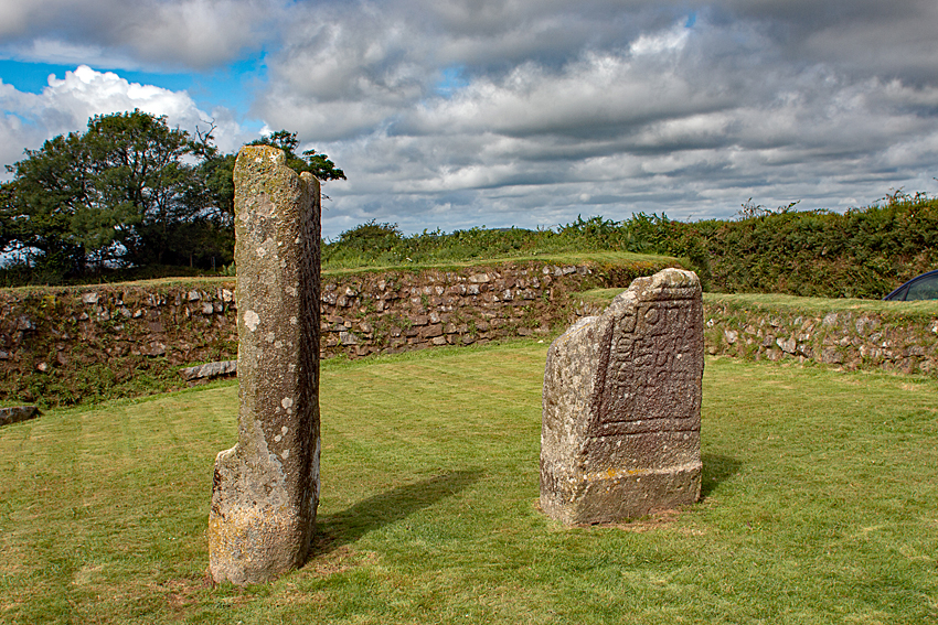
King Doniert's Stone
King Doniert's Stone (Cornish: Menkov Donyerth Ruw) consists of two pieces of a decorated 9th-century cross, near St Cleer on Bodmin Moor, Cornwall. The...
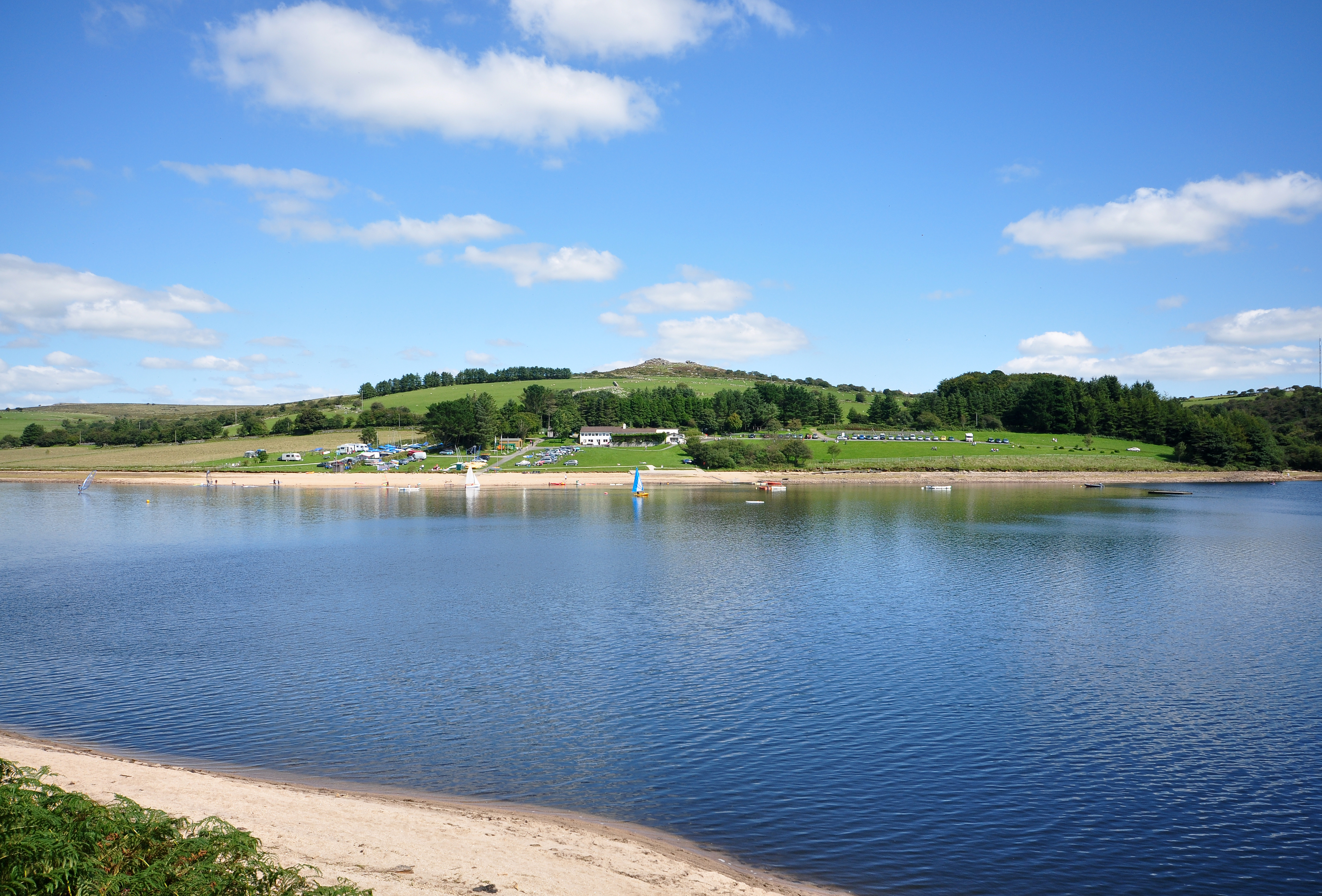
Siblyback Lake
Siblyback Lake is a reservoir on the edge of Bodmin Moor in Cornwall, England, UK. It is one of 12 areas in Cornwall designated as an Area of Outstanding...

Higher Tremarcoombe
Higher Tremarcoombe is a hamlet in the parish of St Cleer, Cornwall, England. == References ==
Nearby Amenities
Located within 500m of 50.497931,-4.4950269Have you been to Bulland Downs?
Leave your review of Bulland Downs below (or comments, questions and feedback).