Gunstone

Settlement in Staffordshire South Staffordshire

England

Gunstone

Barns at Leper House Farm Typical red brick outbuildings. The farm name suggests the site of a leper hospital associated with the nearby sulphurous Leper Well on Whitehouse Lane.
Barns at Leper House Farm Credit: John M

Gunstone is a small village located in the county of Staffordshire, England. Situated approximately 6 miles east of the county town of Stafford, Gunstone lies within the Staffordshire Moorlands district. With a population of around 500 residents, it is characterized by a close-knit community and a tranquil rural setting.

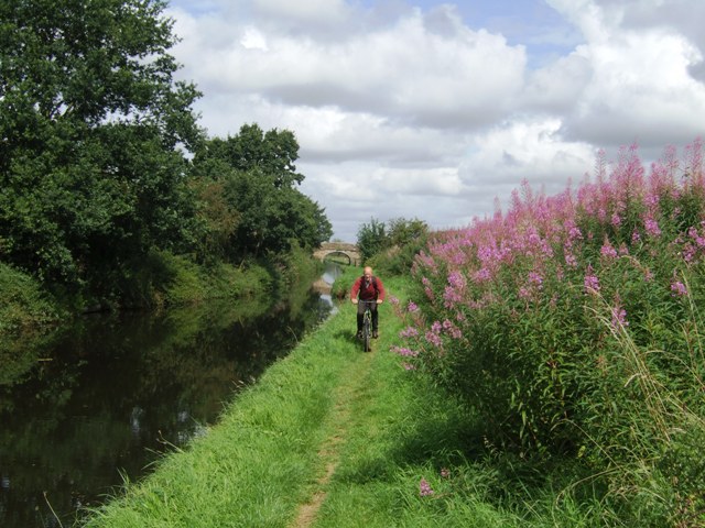
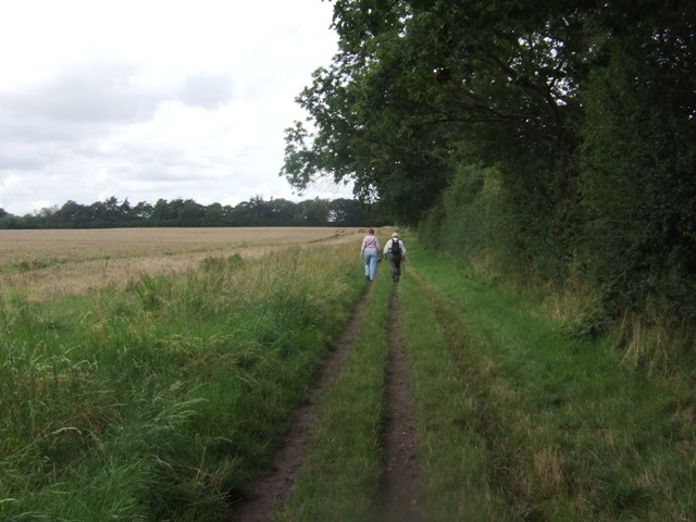
The village is surrounded by picturesque countryside, offering stunning views and ample opportunities for outdoor activities such as hiking and cycling. The nearby Cannock Chase, an Area of Outstanding Natural Beauty, is a popular destination for nature enthusiasts.

Gunstone itself is primarily residential, consisting of a mix of traditional cottages and more modern houses. The village boasts a local pub, The Gunstone Arms, which serves as a social hub for residents and visitors alike.

For amenities and services, Gunstone relies on the nearby town of Stafford, which provides a comprehensive range of facilities including shops, supermarkets, schools, and healthcare services. The village benefits from good transport links, with easy access to major roads such as the A34 and A518, connecting it to neighboring towns and cities.

Gunstone has a rich history, with evidence of human habitation in the area dating back to Roman times. The village is proud of its heritage and hosts annual events and activities that celebrate its past, attracting tourists from the wider area.

In summary, Gunstone is a charming village in Staffordshire, offering a peaceful and idyllic lifestyle, surrounded by natural beauty, and benefiting from its proximity to larger towns for essential amenities and services.

If you have any feedback on the listing, please let us know in the comments section below.
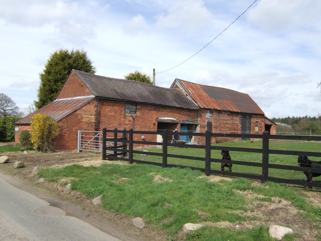
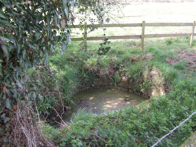
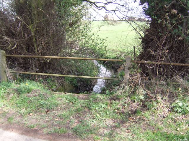
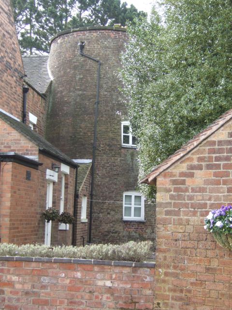
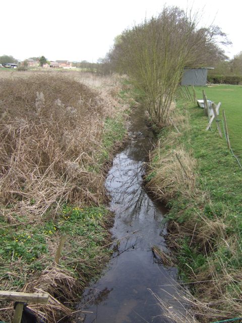
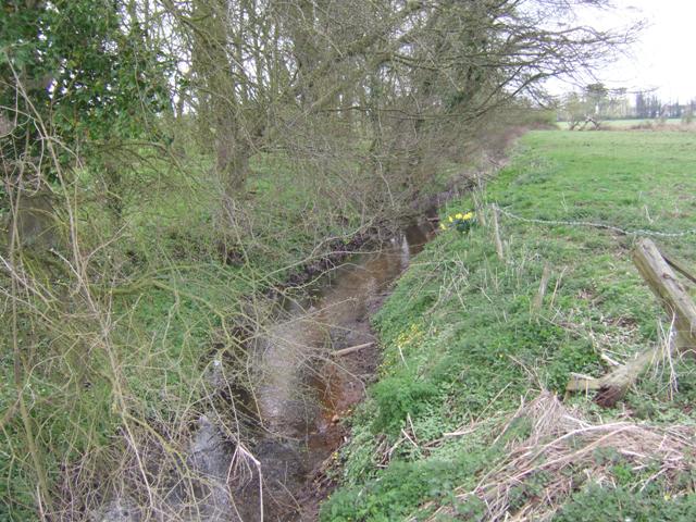
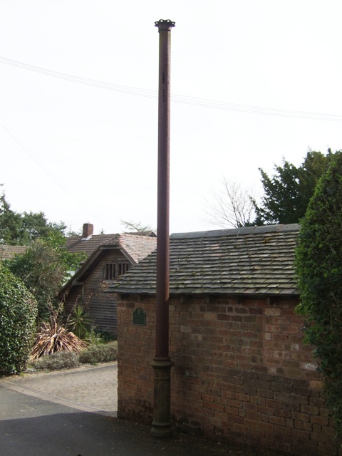
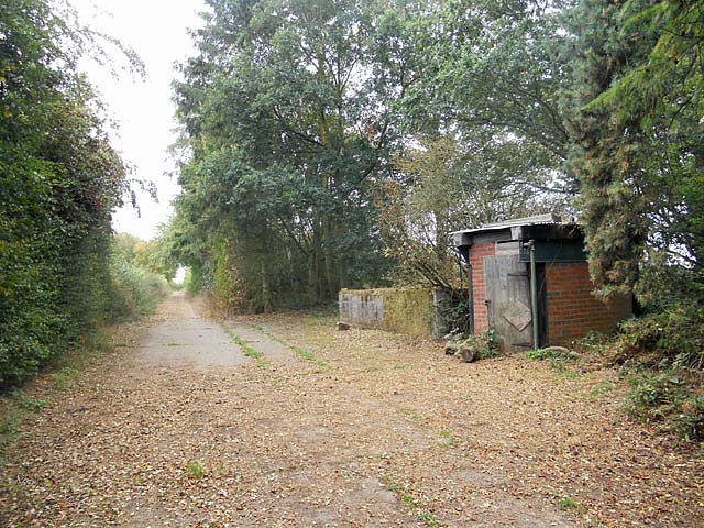
Gunstone Images

Images are sourced within 2km of 52.643644/-2.188552 or Grid Reference SJ8705. Thanks to Geograph Open Source API. All images are credited.

Barns at Leper House Farm Typical red brick outbuildings. The farm name suggests the site of a leper hospital associated with the nearby sulphurous Leper Well on Whitehouse Lane.
Barns at Leper House Farm
Typical red brick outbuildings. The farm name suggests the site of a leper hospital associated with the nearby sulphurous Leper Well on Whitehouse Lane.
Lepers Well Ancient sulphurous well beside Whitehouse Lane. The well is Grade 2 listed.
Lepers Well
Ancient sulphurous well beside Whitehouse Lane. The well is Grade 2 listed.
Tributary of the Moat Brook Viewed upstream at Whitehouse Lane. The brook is fed from the Big Pool at Chillington Hall.
Tributary of the Moat Brook
Viewed upstream at Whitehouse Lane. The brook is fed from the Big Pool at Chillington Hall.
Codsall Mill The tower mill has been incorporated into Millfield House. Originally an 18th century mill with four sails, boat cap, weathervane and tailpole. Had ceased use by the 1880s.
Codsall Mill
The tower mill has been incorporated into Millfield House. Originally an 18th century mill with four sails, boat cap, weathervane and tailpole. Had ceased use by the 1880s.
Moat Brook downstream of Codsall footbridge The Moat Brook flows around the north side of Codsall and is a tributary of the River Penk.
Moat Brook downstream of Codsall footbridge
The Moat Brook flows around the north side of Codsall and is a tributary of the River Penk.
Moat Brook upstream of  Codsall footbridge The Moat Brook flows around the north side of Codsall and is a tributary of the River Penk.
Moat Brook upstream of Codsall footbridge
The Moat Brook flows around the north side of Codsall and is a tributary of the River Penk.
Sewer Vent Pipe Victorian stench pipe in Mill Lane.
Sewer Vent Pipe
Victorian stench pipe in Mill Lane.
Bridleway near Long Birch Farm
Monarch's Way
Monarch's Way
Hall View The view of Chillington Hall built for the Giffard family in 1786 near Brewood. The white Marquee on the right side is new for Weddings.
Hall View
The view of Chillington Hall built for the Giffard family in 1786 near Brewood. The white Marquee on the right side is new for Weddings.
Bilbrook water treatment works Or sewage works, if you prefer the older term!
Bilbrook water treatment works
Or sewage works, if you prefer the older term!
Bilbrook village hall On the outskirts of Bilbrook, and adjacent to the playing fields.
Bilbrook village hall
On the outskirts of Bilbrook, and adjacent to the playing fields.
M54 east just south of The Pool Power lines crossing road can be seen in the distance
M54 east just south of The Pool
Power lines crossing road can be seen in the distance
The entrance to Moors Farm, Hotel and B & B This farm has been extended into an Hotel and B & B.  link  <span class="nowrap"><a title="http://www.moorsfarmhotel.co.uk/about-us.php" rel="nofollow ugc noopener" href="http://www.moorsfarmhotel.co.uk/about-us.php">Link</a><img style="margin-left:2px;" alt="External link" title="External link - shift click to open in new window" src="https://s1.geograph.org.uk/img/external.png" width="10" height="10"/></span>
The entrance to Moors Farm, Hotel and B & B
This farm has been extended into an Hotel and B & B. link LinkExternal link
Very old Leper House Farm, reputed to have been a leper colony On nearby Moors Farm is the Lepers Well, a sulphur well which is reputed to cure all ills, including Leprosy. link
Very old Leper House Farm, reputed to have been a leper colony
On nearby Moors Farm is the Lepers Well, a sulphur well which is reputed to cure all ills, including Leprosy. link
Whitehouse Lane at Gunstone Some maps give Gunstone as being just up the road, but Google maps place it here.
Whitehouse Lane at Gunstone
Some maps give Gunstone as being just up the road, but Google maps place it here.
Shropshire Union towpath near Lower Hattons Bridge The Monarch's Way follows the towpath south to Pendeford Bridge on its way from Boscobel to Moseley Old Hall.
Shropshire Union towpath near Lower Hattons Bridge
The Monarch's Way follows the towpath south to Pendeford Bridge on its way from Boscobel to Moseley Old Hall.
Walkers on the Monarchs Way Between Hunting Bridge and Port Lane.
Walkers on the Monarchs Way
Between Hunting Bridge and Port Lane.
Show me another place!

Gunstone is located at Grid Ref: SJ8705 (Lat: 52.643644, Lng: -2.188552)

Administrative County: Staffordshire

District: South Staffordshire

Police Authority: Staffordshire

What 3 Words

///wash.study.play. Near Codsall, Staffordshire

Nearby Locations

Gunstone

Related Wikis

Gunstone

Gunstone is a hamlet in the South Staffordshire district of Staffordshire, England. It is situated north east of the village of Codsall. == Place name... ==

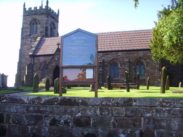
St Nicholas' Church, Codsall

St Nicholas’ Church, Codsall is a Grade II* listed parish church in the Church of England in Codsall == History == The doorway is Norman. The west tower...

Codsall Community High School

Codsall Community High School is a coeducational upper school and sixth form located in Codsall, Staffordshire, England.It is located in a large village...

Codsall

Codsall is a large village in the South Staffordshire district of Staffordshire, England. It is situated 5 miles northwest of Wolverhampton and 13 miles...
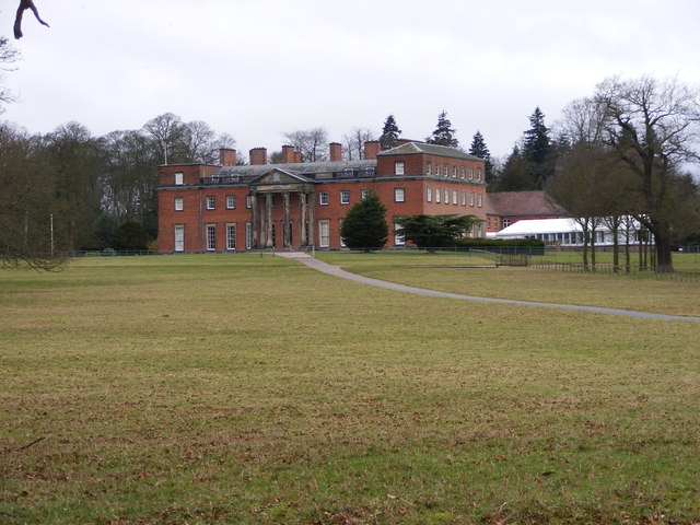
Chillington Hall

Chillington Hall is a Georgian country house near Brewood, Staffordshire, England, four miles northwest of Wolverhampton. It is the residence of the Giffard...

South Staffordshire

South Staffordshire is a local government district in Staffordshire, England. The district lies to the north and west of the West Midlands county, bordering...

Codsall railway station

Codsall railway station serves the village of Codsall in Staffordshire, England. == History == The original listed GWR footbridge, between the two platforms...

Bilbrook railway station

Bilbrook railway station is a railway station which serves the village of Bilbrook in Staffordshire, England. It was known as Birches and Bilbrook Halt...

Nearby Amenities

Located within 500m of 52.643644,-2.188552
Leper Well
Historic: archaeological_site
Lat/Long: 52.6410031/-2.1934983
Phone
Emergency: phone
Source: survey
Lat/Long: 52.6435469/-2.1929655
Phone
Check Date: 2022-04-12
Emergency: phone
Source: survey
Lat/Long: 52.6438285/-2.1929577
Man Made: pipeline_marker
Source: survey
Substance: gas
Lat/Long: 52.6397442/-2.1893084
Power: transformer
Lat/Long: 52.6412996/-2.1895007
Communication Mobile Phone: yes
Man Made: tower
Source: visual survey; bing
Tower Type: communication
Lat/Long: 52.6417402/-2.187624
Barrier: stile
Source: survey
Lat/Long: 52.6433893/-2.1899973
Power: pole
Lat/Long: 52.6402386/-2.1916243
Power: pole
Lat/Long: 52.6401485/-2.1906887
Power: pole
Lat/Long: 52.6399381/-2.1887598
Power: pole
Lat/Long: 52.6397319/-2.1869088
Power: pole
Lat/Long: 52.6405341/-2.1932436
Power: pole
Lat/Long: 52.6415437/-2.1906247
Power: pole
Lat/Long: 52.6412184/-2.1894909
Power: pole
Lat/Long: 52.6418914/-2.1917462
Material: wood
Power: pole
Lat/Long: 52.6424411/-2.1911423
The data included in this document is from www.openstreetmap.org. The data is made available under ODbL.

Have you been to Gunstone?

Leave your review of Gunstone below (or comments, questions and feedback).