Guns Village
Settlement in Staffordshire
England
Guns Village
Guns Village is a small, picturesque village located in the county of Staffordshire, England. Nestled amidst rolling hills and lush green fields, it is situated approximately 6 miles southeast of the county town of Stafford. The village is believed to have derived its name from the Old English word "gunna," meaning battle, indicating its historical significance.
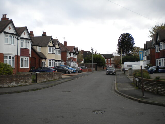
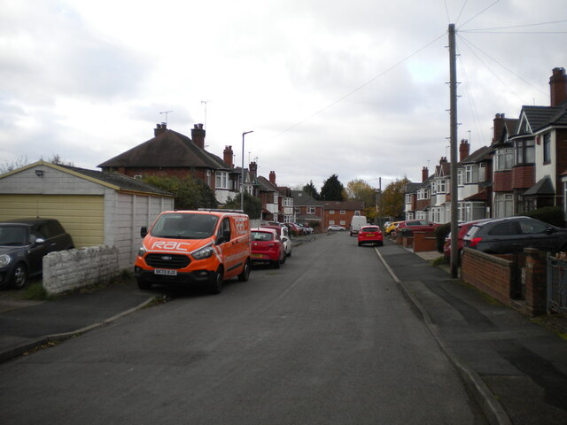
With a population of around 500 residents, Guns Village exudes a charming and tight-knit community atmosphere. The village is primarily residential, characterized by a mix of traditional stone cottages and more modern housing developments. Many of the properties boast well-maintained gardens and are adorned with colorful floral displays during the summer months, adding to the village's aesthetic appeal.
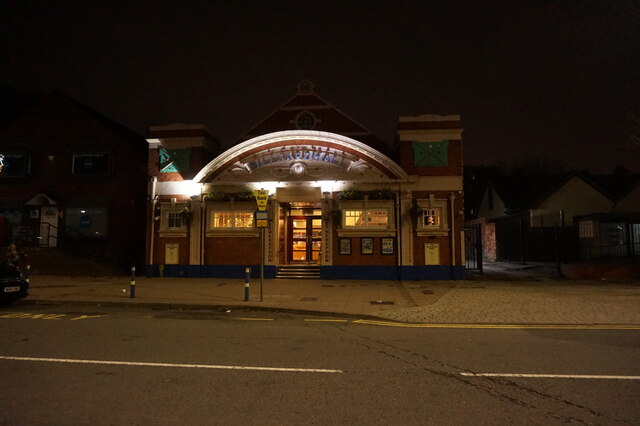
Guns Village is home to a few local amenities, including a quaint village pub that serves as a popular social hub for residents and visitors alike. The village also has a small primary school, providing education for the local children.
Surrounded by picturesque countryside, Guns Village offers numerous opportunities for outdoor activities and exploration. The nearby Staffordshire countryside features an extensive network of walking and cycling trails, allowing residents to enjoy the natural beauty of the area. Additionally, the village's proximity to Stafford provides easy access to a wider range of services, amenities, and employment opportunities.
Overall, Guns Village is a serene and idyllic location that offers a peaceful lifestyle within a close-knit community, making it an attractive place to call home for those seeking a tranquil rural setting in Staffordshire.
If you have any feedback on the listing, please let us know in the comments section below.
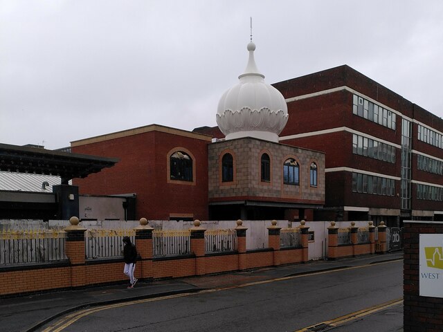
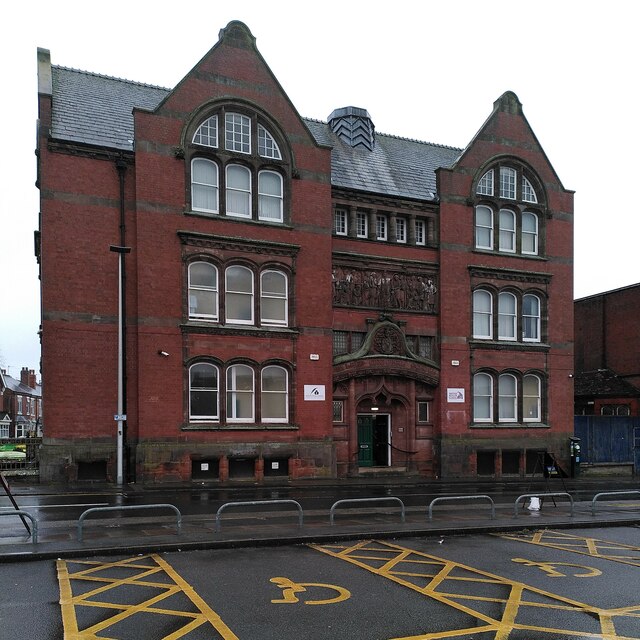
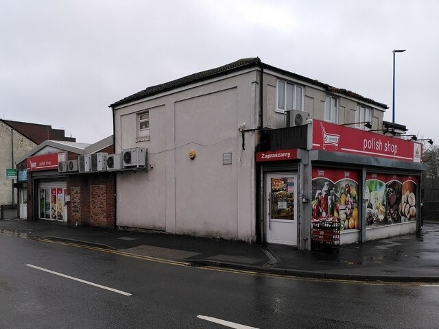
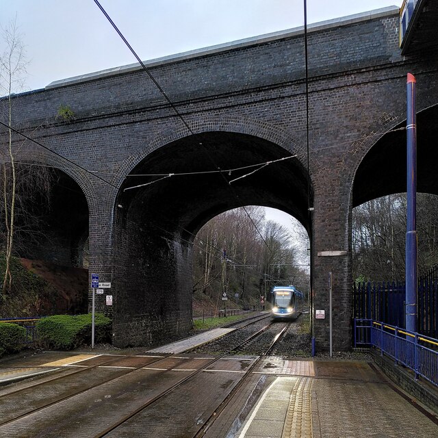
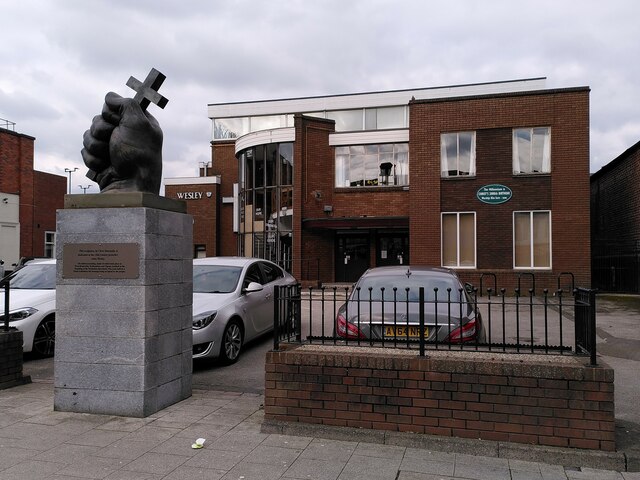
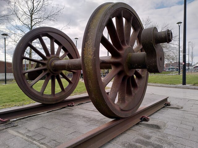
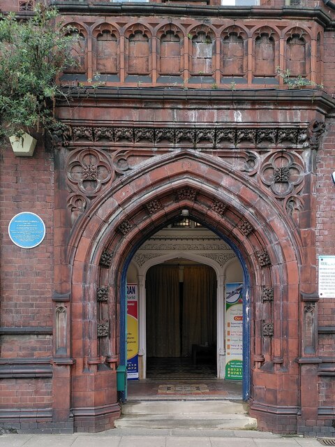
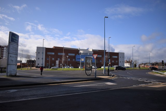
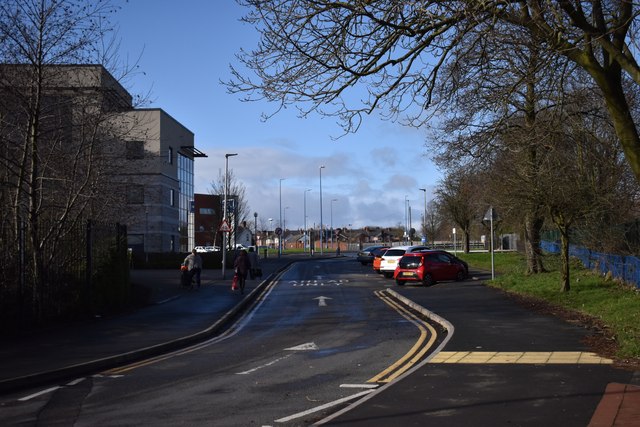
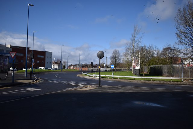
Guns Village Images
Images are sourced within 2km of 52.522698/-2.010285 or Grid Reference SO9991. Thanks to Geograph Open Source API. All images are credited.


Guns Village is located at Grid Ref: SO9991 (Lat: 52.522698, Lng: -2.010285)
Unitary Authority: Sandwell
Police Authority: West Midlands
What 3 Words
///hugs.unique.bliss. Near West Bromwich, West Midlands
Nearby Locations
Related Wikis

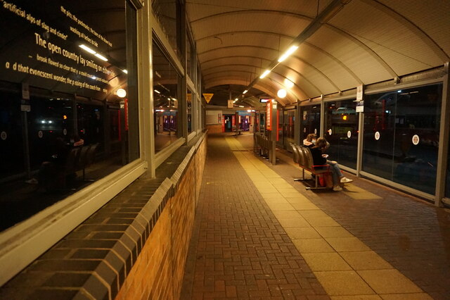
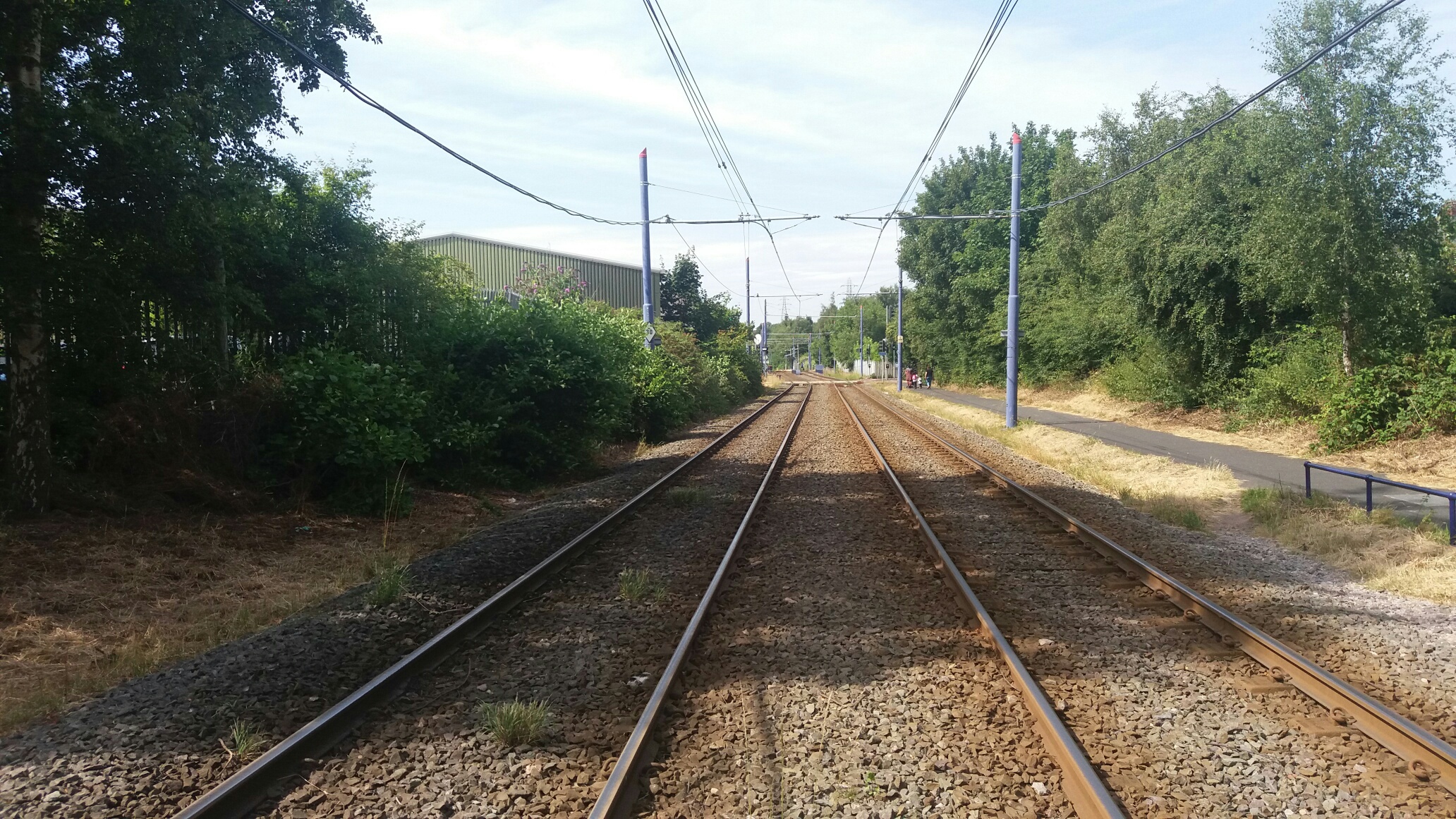
Dudley Street Guns Village tram stop
Dudley Street Guns Village is a tram stop in West Bromwich in the West Midlands, England. It was opened on 31 May 1999 and is situated on West Midlands...

George Salter Academy
George Salter Academy is a coeducational 11-16 secondary school with academy status situated in West Bromwich, West Midlands, England. There are currently...
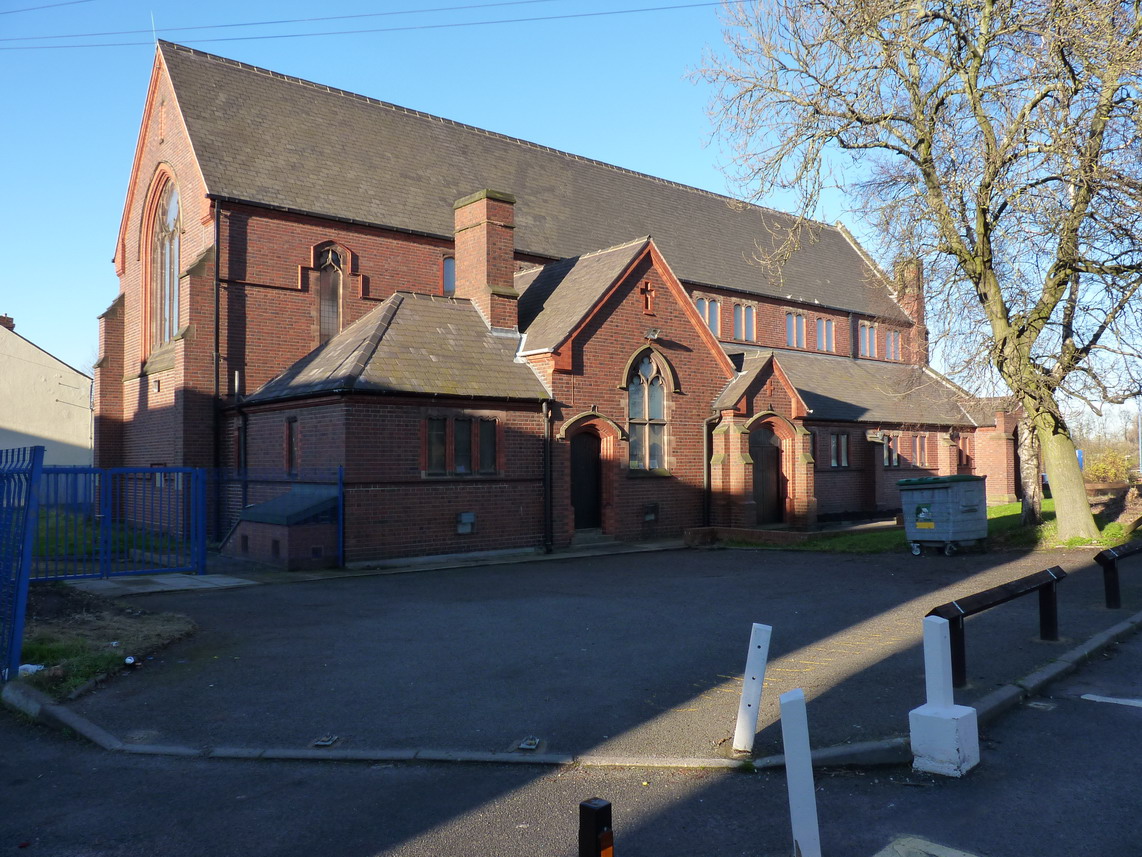
St Andrew's Church, West Bromwich
St. Andrew's Church, West Bromwich, England is part of both the Church of England and the Methodist Church through an arrangement known as a local ecumenical...
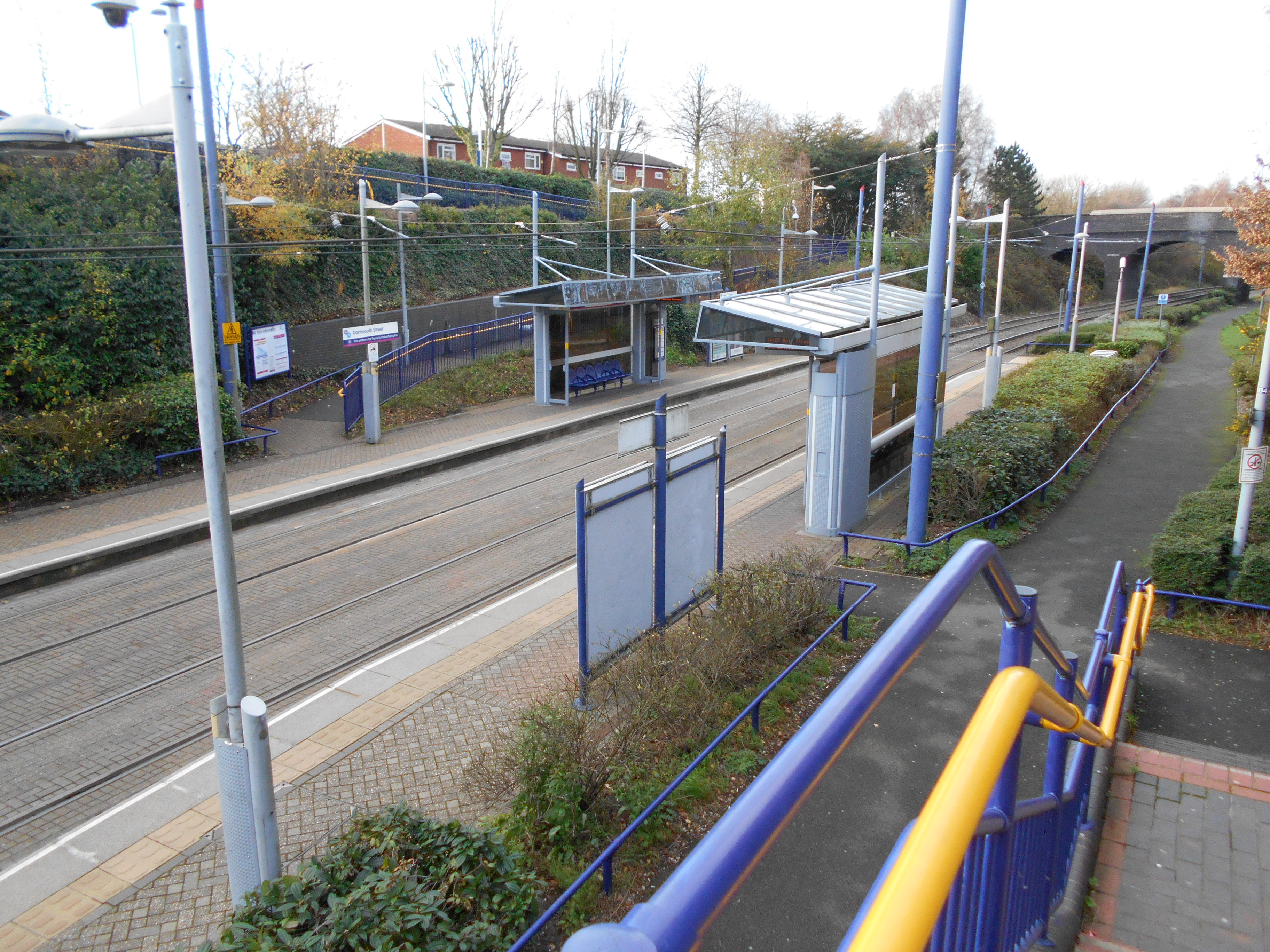
Dartmouth Street tram stop
Dartmouth Street tram stop is a tram stop in West Bromwich, Sandwell, England. It was opened on 31 May 1999 and is situated on West Midlands Metro Line...

Swan Village Gas Works
Swan Village Gas Works, is a historical manufacturing plant in West Bromwich for the production of coal gas, or "town gas". The works are situated in Swan...
Swan Village
Swan Village is an area of West Bromwich, in the Metropolitan Borough of Sandwell in the West Midlands County of England. It is now divided by the Black...
Swan Village railway station
Swan Village railway station was a station on the Great Western Railway's London Paddington to Birkenhead via Birmingham Snow Hill line. It was opened...
Health Futures UTC
Health Futures UTC is a University Technical College in West Bromwich, England. The UTC opened in 2015 and is sponsored by the University of Wolverhampton...
Nearby Amenities
Located within 500m of 52.522698,-2.010285Have you been to Guns Village?
Leave your review of Guns Village below (or comments, questions and feedback).