Halgavor Moor

Downs, Moorland in Cornwall

England

Halgavor Moor

Driver's eye view on the Bodmin & Wenford Railway View forwards from the driving cab of a dmu en route between Bodmin Parkway and Bodmin General Stations.  The bridges are those on the A38 and A30 south of Bodmin.
Driver's eye view on the Bodmin & Wenford Railway Credit: Bob Walters

The requested URL returned error: 429 Too Many Requests

If you have any feedback on the listing, please let us know in the comments section below.

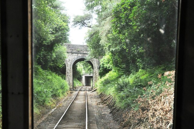
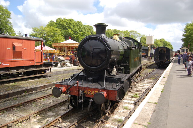
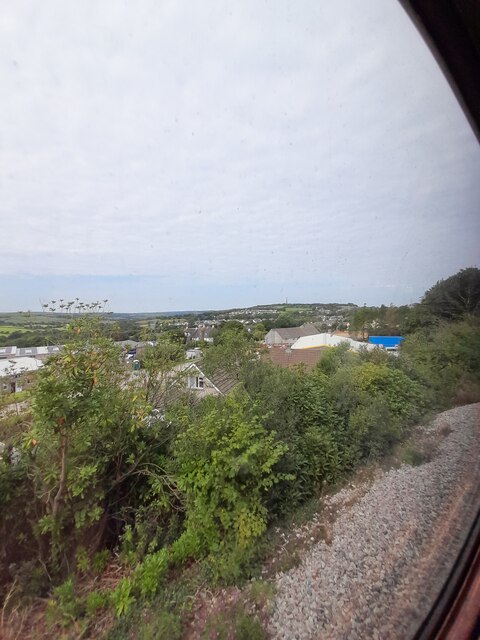
Halgavor Moor Images

Images are sourced within 2km of 50.45602/-4.7145034 or Grid Reference SX0765. Thanks to Geograph Open Source API. All images are credited.

Driver's eye view on the Bodmin & Wenford Railway View forwards from the driving cab of a dmu en route between Bodmin Parkway and Bodmin General Stations.  The bridges are those on the A38 and A30 south of Bodmin.
Driver's eye view on the Bodmin & Wenford Railway
View forwards from the driving cab of a dmu en route between Bodmin Parkway and Bodmin General Stations. The bridges are those on the A38 and A30 south of Bodmin.
Tank loco running round at Bodmin General Station Ex GWR 2-8-0T tank engine No. 4247 running round its train at Bodmin General Station on the Bodmin and Wenford Railway.  Leaving Bodmin General, the train will either go to Bodmin Parkway on the Penzance main line or to Boscarne Junction on the onetime Wenfordbridge line.
Tank loco running round at Bodmin General Station
Ex GWR 2-8-0T tank engine No. 4247 running round its train at Bodmin General Station on the Bodmin and Wenford Railway. Leaving Bodmin General, the train will either go to Bodmin Parkway on the Penzance main line or to Boscarne Junction on the onetime Wenfordbridge line.
Road through Lodge Plantation, Lanhydrock A National Trust is an organization dedicated to preserving the cultural or environmental treasures of a particular geographic region. They generally operate as private non-profit organizations, although some receive considerable support from their national government. The first such organization was the National Trust for Places of Historic Interest or Natural Beauty, which is the National Trust of England, Wales and Northern Ireland, formed in 1895 and operating as a charitable organisation. 

Extract from Wikipedia <span class="nowrap"><a title="http://en.wikipedia.org/wiki/National_Trust" rel="nofollow ugc noopener" href="http://en.wikipedia.org/wiki/National_Trust">Link</a><img style="margin-left:2px;" alt="External link" title="External link - shift click to open in new window" src="https://s1.geograph.org.uk/img/external.png" width="10" height="10"/></span>

List of National Trust places <span class="nowrap"><a title="http://en.wikipedia.org/wiki/List_of_National_Trust_properties_in_England" rel="nofollow ugc noopener" href="http://en.wikipedia.org/wiki/List_of_National_Trust_properties_in_England">Link</a><img style="margin-left:2px;" alt="External link" title="External link - shift click to open in new window" src="https://s1.geograph.org.uk/img/external.png" width="10" height="10"/></span>
Road through Lodge Plantation, Lanhydrock
A National Trust is an organization dedicated to preserving the cultural or environmental treasures of a particular geographic region. They generally operate as private non-profit organizations, although some receive considerable support from their national government. The first such organization was the National Trust for Places of Historic Interest or Natural Beauty, which is the National Trust of England, Wales and Northern Ireland, formed in 1895 and operating as a charitable organisation. Extract from Wikipedia LinkExternal link List of National Trust places LinkExternal link
Trees and fallen trees, Lanhydrock  Two storms in early 2022 damaged many trees on the estate; some of the fallen trees are in this copse
Trees and fallen trees, Lanhydrock
Two storms in early 2022 damaged many trees on the estate; some of the fallen trees are in this copse
Daffodils in the churchyard of St Hydrock's Church The churchyard is surrounded by the gardens of Lanhydrock House
Daffodils in the churchyard of St Hydrock's Church
The churchyard is surrounded by the gardens of Lanhydrock House
The estate farm, Lanhydrock estate A National Trust is an organization dedicated to preserving the cultural or environmental treasures of a particular geographic region. They generally operate as private non-profit organizations, although some receive considerable support from their national government. The first such organization was the National Trust for Places of Historic Interest or Natural Beauty, which is the National Trust of England, Wales and Northern Ireland, formed in 1895 and operating as a charitable organisation. 

Extract from Wikipedia <span class="nowrap"><a title="http://en.wikipedia.org/wiki/National_Trust" rel="nofollow ugc noopener" href="http://en.wikipedia.org/wiki/National_Trust">Link</a><img style="margin-left:2px;" alt="External link" title="External link - shift click to open in new window" src="https://s1.geograph.org.uk/img/external.png" width="10" height="10"/></span>

List of National Trust places <span class="nowrap"><a title="http://en.wikipedia.org/wiki/List_of_National_Trust_properties_in_England" rel="nofollow ugc noopener" href="http://en.wikipedia.org/wiki/List_of_National_Trust_properties_in_England">Link</a><img style="margin-left:2px;" alt="External link" title="External link - shift click to open in new window" src="https://s1.geograph.org.uk/img/external.png" width="10" height="10"/></span>
The estate farm, Lanhydrock estate
A National Trust is an organization dedicated to preserving the cultural or environmental treasures of a particular geographic region. They generally operate as private non-profit organizations, although some receive considerable support from their national government. The first such organization was the National Trust for Places of Historic Interest or Natural Beauty, which is the National Trust of England, Wales and Northern Ireland, formed in 1895 and operating as a charitable organisation. Extract from Wikipedia LinkExternal link List of National Trust places LinkExternal link
A30 east approaching junction for Bodmin Parkway station
A30 east at junction for A38 to Plymouth
Shire Hall, Bodmin Bodmin's Shire Hall, formerly a courthouse, now a tourist information centre.
Shire Hall, Bodmin
Bodmin's Shire Hall, formerly a courthouse, now a tourist information centre.
Former Wetherspoons
Former Wetherspoons
Field and bungalow
Field and bungalow
Semidetached houses
Semidetached houses
Bodmin General Station
View from the train
View from the train
View from the train
View from the train
Shire Hall Grade II* listed former Assize Court 1837-38 by Henry Burt of Launceston. Closed in 1988, now a visitor attraction and Tourist Information Centre.
Shire Hall
Grade II* listed former Assize Court 1837-38 by Henry Burt of Launceston. Closed in 1988, now a visitor attraction and Tourist Information Centre.
Shire House Grade II* listed former Judges' Lodgings c1840 by Joseph Pascoe of Bodmin.
Shire House
Grade II* listed former Judges' Lodgings c1840 by Joseph Pascoe of Bodmin.
Capitol Cinema Grade II listed former Town Hall by Ralling & Tonar of Exeter in 1891, now Capitol Cinema and Bodmin Museum.
Capitol Cinema
Grade II listed former Town Hall by Ralling & Tonar of Exeter in 1891, now Capitol Cinema and Bodmin Museum.
Show me another place!

Halgavor Moor is located at Grid Ref: SX0765 (Lat: 50.45602, Lng: -4.7145034)

Unitary Authority: Cornwall

Police Authority: Devon and Cornwall

What 3 Words

///distorts.skater.taxed. Near Bodmin, Cornwall

Nearby Locations

Halgavor Moor

Related Wikis

Bodmin College

Bodmin College is a secondary academy school that serves the community of Bodmin, Cornwall, England. The principal is Samantha Fairburn. The college converted...

2023 Bodmin mass stabbing

In the early hours of 30 April 2023, a mass stabbing outside a nightclub in Bodmin, Cornwall, England, United Kingdom, left one person dead and seven others...

Victoria Barracks, Bodmin

Victoria Barracks was a military installation in Bodmin, Cornwall. == History == The barracks originally comprised a keep, adjoining stables and a parade...

Bodmin General railway station

Bodmin General railway station, located in Bodmin, Cornwall, United Kingdom, was the terminus of the Great Western Railway's Bodmin branch line, and is...

Nearby Amenities

Located within 500m of 50.45602,-4.7145034
Bus Stop
Opp Dragon Leisure Centre
Bus: yes
Naptan AtcoCode: 0800COA10374
Naptan Bearing: S
Naptan CommonName: Opp Dragon Leisure Centre
Naptan NaptanCode: cordmjda
Naptan PlusbusZoneRef: BODMNPW
Naptan Street: Lostwithiel Road
Naptan Verified: no
Public Transport: platform
Source: naptan_import
Lat/Long: 50.4554993/-4.7085158
Bus Stop
Dragon Leisure Centre
Bus: yes
Naptan AtcoCode: 0800COC31245
Naptan Bearing: SE
Naptan CommonName: Dragon Leisure Centre
Naptan Crossing: Halgavor Park
Naptan NaptanCode: cordmjag
Naptan PlusbusZoneRef: BODMNPW
Naptan Street: Unclassified
Naptan Verified: no
Public Transport: platform
Source: naptan_import
Lat/Long: 50.456197/-4.7102324
Bus Stop
Bodmin Community College
Bench: no
Bin: no
Bus: yes
Lit: no
Naptan AtcoCode: 0800FWW38509
Naptan Bearing: S
Naptan CommonName: Bodmin Community College
Naptan NaptanCode: cordmgtg
Naptan PlusbusZoneRef: BODMNPW
Naptan Street: Green Lane
Naptan Verified: no
Public Transport: platform
Shelter: no
Source: naptan_import
Tactile Paving: no
Lat/Long: 50.4603358/-4.7137448
Crossing
Crossing: uncontrolled
Crossing Ref: zebra
Lat/Long: 50.4556141/-4.7096121
Lanhydrock View
Addr Housenumber: 37
Addr Street: College Green
Internet Access: wlan
Internet Access Fee: no
Rooms: 1
Tourism: hotel
Lat/Long: 50.459986/-4.7175999
Addr Housenumber: 37
Addr Street: College Green
Building: semidetached_house
Lat/Long: 50.4599563/-4.7176275
Addr Housenumber: 39
Addr Street: College Green
Building: semidetached_house
Lat/Long: 50.4599732/-4.7176679
Generator Method: photovoltaic
Generator Output Electricity: yes
Generator Source: solar
Generator Type: solar_photovoltaic_panel
Location: roof
Power: generator
Lat/Long: 50.4569081/-4.7099751
Generator Method: photovoltaic
Generator Output Electricity: yes
Generator Source: solar
Generator Type: solar_photovoltaic_panel
Location: roof
Power: generator
Lat/Long: 50.4592014/-4.712542
Generator Method: photovoltaic
Generator Output Electricity: yes
Generator Source: solar
Generator Type: solar_photovoltaic_panel
Location: roof
Power: generator
Lat/Long: 50.4594558/-4.7124991
Generator Method: photovoltaic
Generator Output Electricity: yes
Generator Source: solar
Generator Type: solar_photovoltaic_panel
Location: roof
Power: generator
Lat/Long: 50.4575126/-4.7100878
Generator Method: photovoltaic
Generator Output Electricity: yes
Generator Source: solar
Generator Type: solar_photovoltaic_panel
Location: roof
Power: generator
Lat/Long: 50.4574869/-4.7095835
Generator Method: photovoltaic
Generator Output Electricity: yes
Generator Source: solar
Generator Type: solar_photovoltaic_panel
Location: roof
Power: generator
Lat/Long: 50.4565255/-4.7102326
Generator Method: photovoltaic
Generator Output Electricity: yes
Generator Source: solar
Generator Type: solar_photovoltaic_panel
Location: roof
Power: generator
Lat/Long: 50.4560406/-4.7096157
Generator Method: photovoltaic
Generator Output Electricity: yes
Generator Source: solar
Generator Type: solar_photovoltaic_panel
Location: roof
Power: generator
Lat/Long: 50.4558732/-4.7095862
Generator Method: photovoltaic
Generator Output Electricity: yes
Generator Source: solar
Generator Type: solar_photovoltaic_panel
Location: roof
Power: generator
Lat/Long: 50.4557759/-4.7091302
Generator Method: photovoltaic
Generator Output Electricity: yes
Generator Source: solar
Generator Type: solar_photovoltaic_panel
Location: roof
Power: generator
Lat/Long: 50.4557776/-4.7090095
Generator Method: photovoltaic
Generator Output Electricity: yes
Generator Source: solar
Generator Type: solar_photovoltaic_panel
Location: roof
Power: generator
Lat/Long: 50.4564692/-4.7080493
Generator Method: photovoltaic
Generator Output Electricity: yes
Generator Source: solar
Generator Type: solar_photovoltaic_panel
Location: roof
Power: generator
Lat/Long: 50.4599869/-4.7168523
Generator Method: photovoltaic
Generator Output Electricity: yes
Generator Source: solar
Generator Type: solar_photovoltaic_panel
Location: roof
Power: generator
Lat/Long: 50.4593585/-4.7188076
Noexit: yes
Lat/Long: 50.4582315/-4.7086251
The data included in this document is from www.openstreetmap.org. The data is made available under ODbL.

Have you been to Halgavor Moor?

Leave your review of Halgavor Moor below (or comments, questions and feedback).