Coille Bhreac

Downs, Moorland in Ross-shire

Scotland

Coille Bhreac

The A890 passing Coille Bhreac, Glen Carron There is a small mast on the lower slope of Coille Bhreac
The A890 passing Coille Bhreac, Glen Carron Credit: Julian Paren

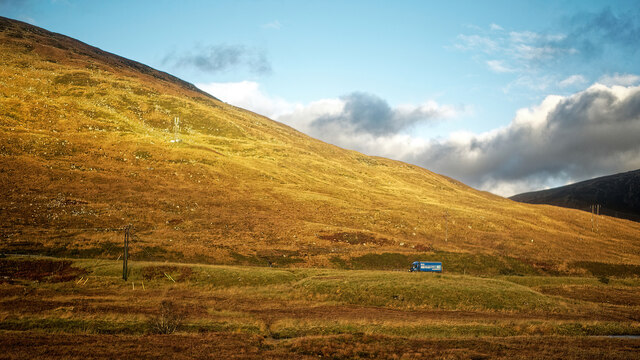
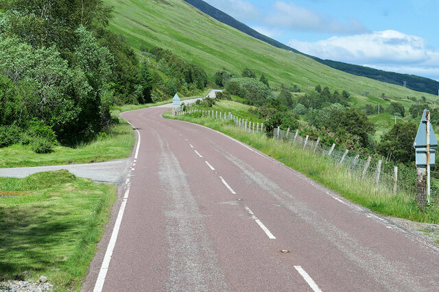
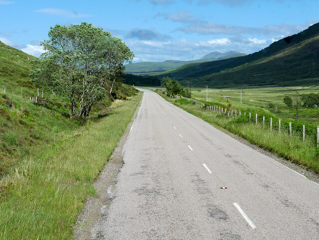
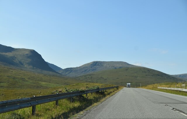
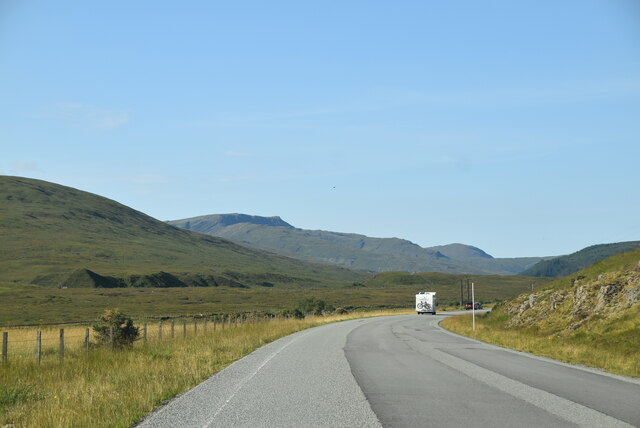
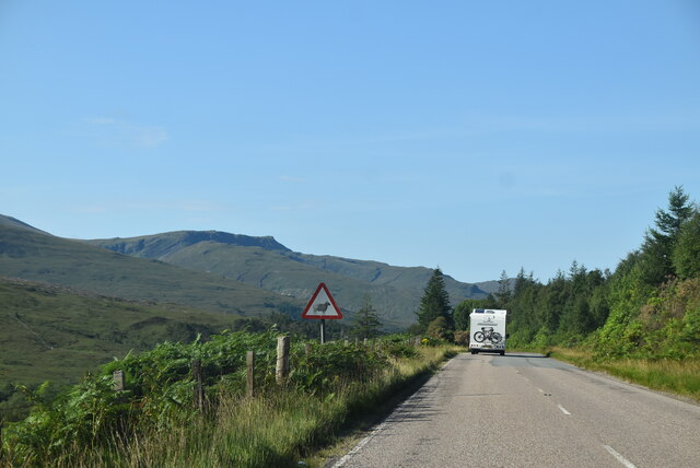
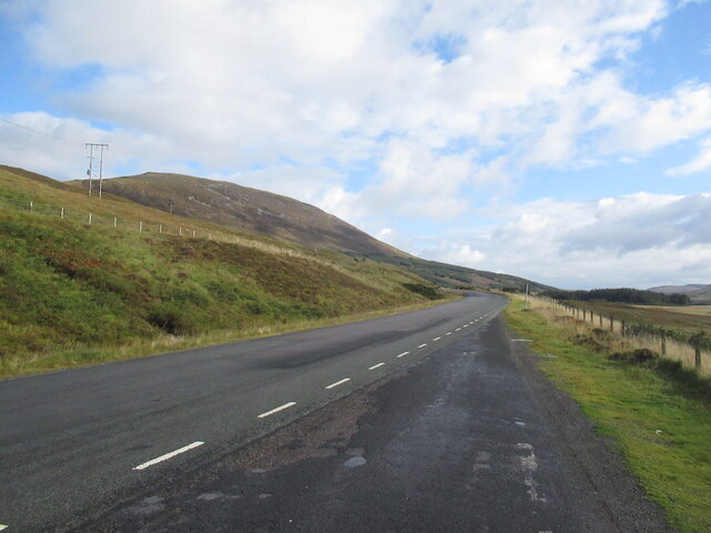
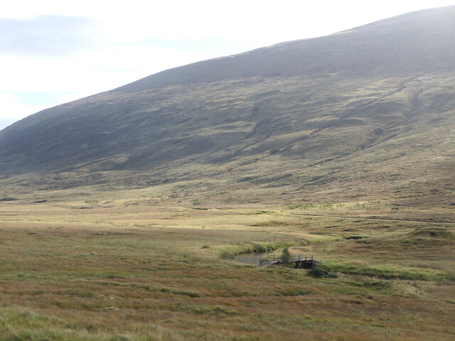
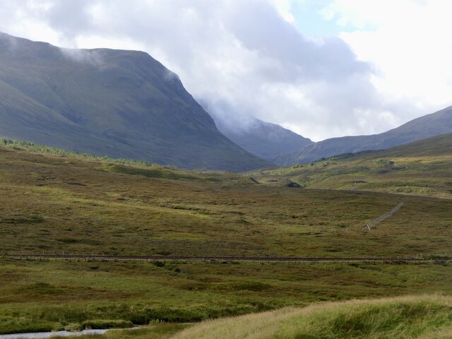
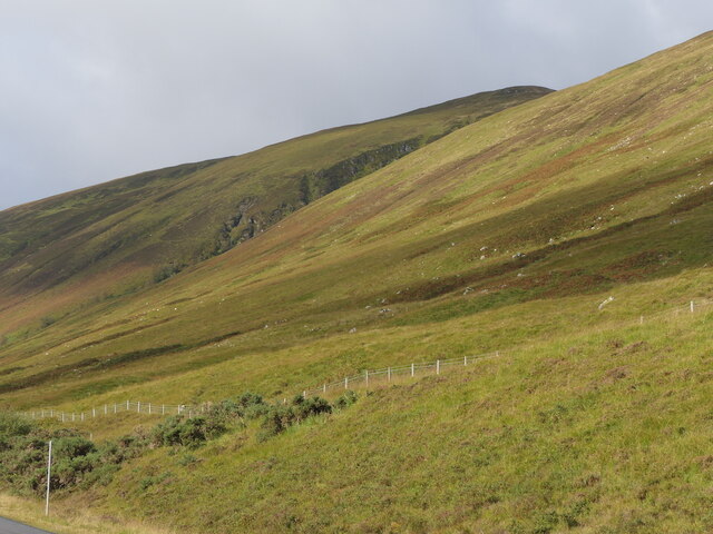
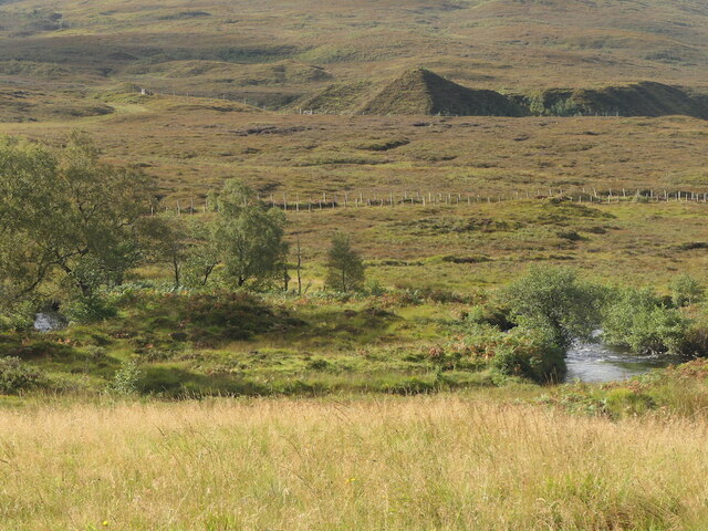
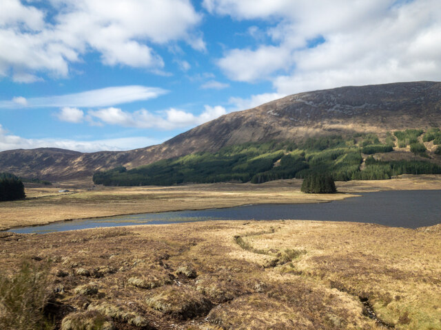
Coille Bhreac is a picturesque area located in Ross-shire, Scotland. It is characterized by its vast expanses of downs and moorland, providing a rugged and wild landscape for visitors to explore. The area is home to a variety of flora and fauna, including heather, gorse, and various species of birds and mammals.

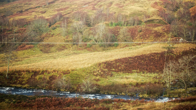
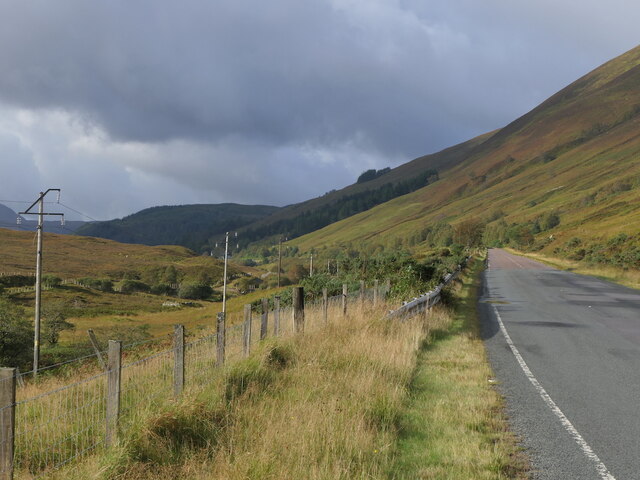
The terrain in Coille Bhreac is undulating, with rolling hills and valleys creating a diverse and scenic environment. The moorland is dotted with patches of woodland, adding to the natural beauty of the area. Visitors can enjoy hiking, birdwatching, and photography in this peaceful and remote location.

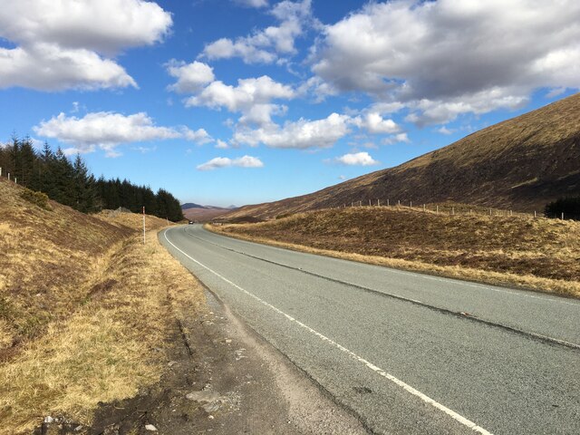
Coille Bhreac is known for its tranquility and solitude, making it a perfect destination for those looking to escape the hustle and bustle of everyday life. The unspoiled natural surroundings provide a sense of peace and serenity, allowing visitors to connect with nature and recharge their spirits.

Overall, Coille Bhreac offers a unique and beautiful landscape for outdoor enthusiasts and nature lovers to enjoy. Its rugged beauty and remote location make it a hidden gem in the Scottish Highlands.

If you have any feedback on the listing, please let us know in the comments section below.

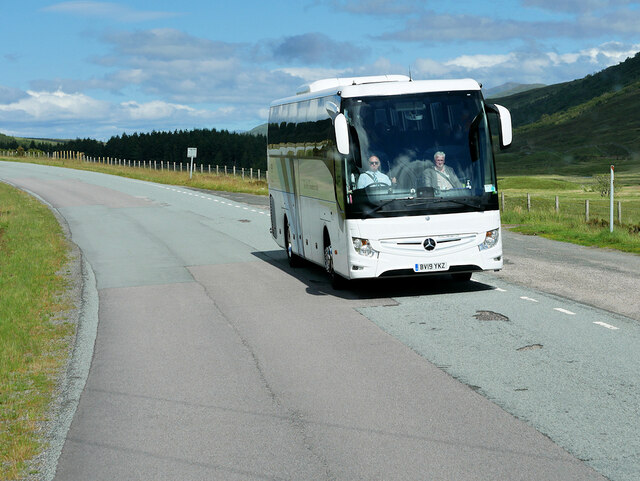
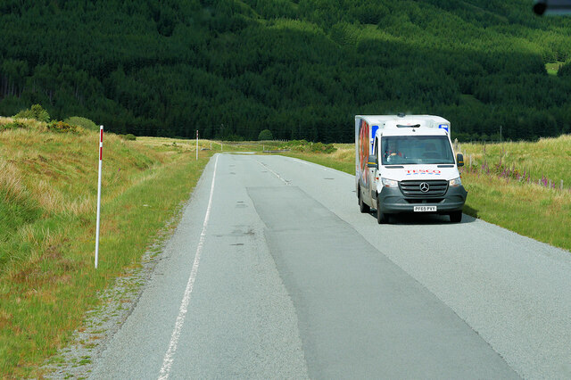
Coille Bhreac Images

Images are sourced within 2km of 57.521932/-5.2184423 or Grid Reference NH0752. Thanks to Geograph Open Source API. All images are credited.

The A890 passing Coille Bhreac, Glen Carron There is a small mast on the lower slope of Coille Bhreac
The A890 passing Coille Bhreac, Glen Carron
There is a small mast on the lower slope of Coille Bhreac
River Carron near Glen Carron Lodge Seen from the train and with the A890 road cutting the hillside behind.
River Carron near Glen Carron Lodge
Seen from the train and with the A890 road cutting the hillside behind.
A890 near Glencarron Lodge The A890 is a non-primary cross-country route in sparsely populated, mountainous terrain from Lochalsh and Skye on the west coast of the Highlands to Achnasheen where it joins the A832 to Inverness. Like many Highland roads, the A890 was entirely single track until the 1960s, but road improvements in recent years (along with improvements on the A832) have made it increasingly popular as an alternative route between Inverness and the Isle of Skye, avoiding the A82 along Loch Ness. It is also an important route for residents of the Lochalsh, Applecross and Strathcarron areas, connecting them to the services of  Kyle of Lochalsh , as well as the High School in Plockton.
A890 near Glencarron Lodge
The A890 is a non-primary cross-country route in sparsely populated, mountainous terrain from Lochalsh and Skye on the west coast of the Highlands to Achnasheen where it joins the A832 to Inverness. Like many Highland roads, the A890 was entirely single track until the 1960s, but road improvements in recent years (along with improvements on the A832) have made it increasingly popular as an alternative route between Inverness and the Isle of Skye, avoiding the A82 along Loch Ness. It is also an important route for residents of the Lochalsh, Applecross and Strathcarron areas, connecting them to the services of Kyle of Lochalsh , as well as the High School in Plockton.
A890 in Glen Carron near Cromag Dhubh The A890 is a non-primary cross-country route in sparsely populated, mountainous terrain from Lochalsh and Skye on the west coast of the Highlands to Achnasheen where it joins the A832 to Inverness. Like many Highland roads, the A890 was entirely single track until the 1960s, but road improvements in recent years (along with improvements on the A832) have made it increasingly popular as an alternative route between Inverness and the Isle of Skye, avoiding the A82 along Loch Ness. It is also an important route for residents of the Lochalsh, Applecross and Strathcarron areas, connecting them to the services of  Kyle of Lochalsh , as well as the High School in Plockton.
A890 in Glen Carron near Cromag Dhubh
The A890 is a non-primary cross-country route in sparsely populated, mountainous terrain from Lochalsh and Skye on the west coast of the Highlands to Achnasheen where it joins the A832 to Inverness. Like many Highland roads, the A890 was entirely single track until the 1960s, but road improvements in recent years (along with improvements on the A832) have made it increasingly popular as an alternative route between Inverness and the Isle of Skye, avoiding the A82 along Loch Ness. It is also an important route for residents of the Lochalsh, Applecross and Strathcarron areas, connecting them to the services of Kyle of Lochalsh , as well as the High School in Plockton.
Coach on the A890 A Mercedes-Benz Tourismo coach (reg BV19 YKZ) heading west on the A890 in Glen Carron.
Coach on the A890
A Mercedes-Benz Tourismo coach (reg BV19 YKZ) heading west on the A890 in Glen Carron.
Tesco Delivery Van on the A890 in Glen Carron The A890 is a non-primary cross-country route in sparsely populated, mountainous terrain from Lochalsh and Skye on the west coast of the Highlands to Achnasheen where it joins the A832 to Inverness. Like many Highland roads, the A890 was entirely single track until the 1960s, but road improvements in recent years (along with improvements on the A832) have made it increasingly popular as an alternative route between Inverness and the Isle of Skye, avoiding the A82 along Loch Ness. It is also an important route for residents of the Lochalsh, Applecross and Strathcarron areas, connecting them to the services of  Kyle of Lochalsh , as well as the High School in Plockton.
Tesco Delivery Van on the A890 in Glen Carron
The A890 is a non-primary cross-country route in sparsely populated, mountainous terrain from Lochalsh and Skye on the west coast of the Highlands to Achnasheen where it joins the A832 to Inverness. Like many Highland roads, the A890 was entirely single track until the 1960s, but road improvements in recent years (along with improvements on the A832) have made it increasingly popular as an alternative route between Inverness and the Isle of Skye, avoiding the A82 along Loch Ness. It is also an important route for residents of the Lochalsh, Applecross and Strathcarron areas, connecting them to the services of Kyle of Lochalsh , as well as the High School in Plockton.
A890, Glen Carron The A890 runs 32 miles from Achnasheen to Auchtertyre.
<span class="nowrap"><a title="https://www.sabre-roads.org.uk/wiki/index.php?title=A890" rel="nofollow ugc noopener" href="https://www.sabre-roads.org.uk/wiki/index.php?title=A890">Link</a><img style="margin-left:2px;" alt="External link" title="External link - shift click to open in new window" src="https://s1.geograph.org.uk/img/external.png" width="10" height="10"/></span>
A890, Glen Carron
The A890 runs 32 miles from Achnasheen to Auchtertyre. LinkExternal link
NC500, Glen Carron The North Coast 500 is a 516 mile scenic route around the north coast of Scotland, starting and ending at Inverness Castle. The route is also known as the NC500 and was launched in 2015, linking many features in the north Highlands of Scotland in one touring route.
The route has increased visitor numbers to parts of the north of Scotland, which has brought economic benefits to some areas. The increase in traffic has also led to more instances of bad and dangerous driving, as well as damage to the roads and concerns about the environmental impact. 
Apparently the route was amended in 2022 with detours etc being removed.
Wikipedia: <span class="nowrap"><a title="https://en.wikipedia.org/wiki/North_Coast_500" rel="nofollow ugc noopener" href="https://en.wikipedia.org/wiki/North_Coast_500">Link</a><img style="margin-left:2px;" alt="External link" title="External link - shift click to open in new window" src="https://s1.geograph.org.uk/img/external.png" width="10" height="10"/></span> 
Original route map: <span class="nowrap"><a title="https://en.wikipedia.org/wiki/North_Coast_500#/media/File:North_Coast_500,_Scotland.svg" rel="nofollow ugc noopener" href="https://en.wikipedia.org/wiki/North_Coast_500#/media/File:North_Coast_500,_Scotland.svg">Link</a><img style="margin-left:2px;" alt="External link" title="External link - shift click to open in new window" src="https://s1.geograph.org.uk/img/external.png" width="10" height="10"/></span> 
Latest route map: <span class="nowrap"><a title="https://www.northcoast500.com/explore-the-route/" rel="nofollow ugc noopener" href="https://www.northcoast500.com/explore-the-route/">Link</a><img style="margin-left:2px;" alt="External link" title="External link - shift click to open in new window" src="https://s1.geograph.org.uk/img/external.png" width="10" height="10"/></span>
NC500, Glen Carron
The North Coast 500 is a 516 mile scenic route around the north coast of Scotland, starting and ending at Inverness Castle. The route is also known as the NC500 and was launched in 2015, linking many features in the north Highlands of Scotland in one touring route. The route has increased visitor numbers to parts of the north of Scotland, which has brought economic benefits to some areas. The increase in traffic has also led to more instances of bad and dangerous driving, as well as damage to the roads and concerns about the environmental impact. Apparently the route was amended in 2022 with detours etc being removed. Wikipedia: LinkExternal link Original route map: LinkExternal link Latest route map: LinkExternal link
A890, Glen Carron The A890 runs 32 miles from Achnasheen to Auchtertyre.
<span class="nowrap"><a title="https://www.sabre-roads.org.uk/wiki/index.php?title=A890" rel="nofollow ugc noopener" href="https://www.sabre-roads.org.uk/wiki/index.php?title=A890">Link</a><img style="margin-left:2px;" alt="External link" title="External link - shift click to open in new window" src="https://s1.geograph.org.uk/img/external.png" width="10" height="10"/></span>
A890, Glen Carron
The A890 runs 32 miles from Achnasheen to Auchtertyre. LinkExternal link
A890 At the head of Glen Carron, shortly before crossing the watershed into Strath Bran. Now a rather busy road thanks to a thoughtless tourism initiative and improvements making it a competitive route to Skye from Inverness for those with an understandable aversion to the A82 along Loch Ness.
A890
At the head of Glen Carron, shortly before crossing the watershed into Strath Bran. Now a rather busy road thanks to a thoughtless tourism initiative and improvements making it a competitive route to Skye from Inverness for those with an understandable aversion to the A82 along Loch Ness.
Bridge, Glen Carron A handy crossing for those bound for Moruisg.
Bridge, Glen Carron
A handy crossing for those bound for Moruisg.
Kyle Line, Glen Carron
Slopes of Glen Carron
River Carron Kyle line beyond.
River Carron
Kyle line beyond.
A890, Glen Carron At the head of Glen Carron, shortly before crossing the watershed into Strath Bran. Now a rather busy road thanks to a thoughtless tourism initiative and improvements making it a competitive route to Skye from Inverness for those with an understandable aversion to the A82 along Loch Ness.
A890, Glen Carron
At the head of Glen Carron, shortly before crossing the watershed into Strath Bran. Now a rather busy road thanks to a thoughtless tourism initiative and improvements making it a competitive route to Skye from Inverness for those with an understandable aversion to the A82 along Loch Ness.
A890 towards Achnasheen
The western end of Loch Sgamhain The plantations beyond the loch look as artificial as is possible. A view from the train. An equivalent view in October is here.  <a href="https://www.geograph.org.uk/photo/4734554">NH0952 : The west end of Loch Sgamhain</a>.
The western end of Loch Sgamhain
The plantations beyond the loch look as artificial as is possible. A view from the train. An equivalent view in October is here. NH0952 : The west end of Loch Sgamhain.
First glimpse of sunshine ahead The weather forecast was for sun in the west and stubborn cloud and mist in the east of Scotland.  Heading west on a train bound for Kyle of Lochalsh this was the first time that the change in weather was seen.
First glimpse of sunshine ahead
The weather forecast was for sun in the west and stubborn cloud and mist in the east of Scotland. Heading west on a train bound for Kyle of Lochalsh this was the first time that the change in weather was seen.
Show me another place!

Coille Bhreac is located at Grid Ref: NH0752 (Lat: 57.521932, Lng: -5.2184423)

Unitary Authority: Highland

Police Authority: Highlands and Islands

What 3 Words

///summaries.grounding.inert. Near Kinlochewe, Highland

Nearby Locations

Coille Bhreac

Related Wikis

Glencarron Estate

The Glencarron Estate is a 12,000 acre highland estate in Wester Ross. It provides sports facilities for fishing (river and loch) and grouse shooting....

Glencarron Platform railway station

Glencarron Platform was an intermediate halt on the Dingwall and Skye Railway between Achnashellach and Achnasheen. It was 36 miles 19 chains (58.3 km...

Loch Scaven

Loch Scaven (Scottish Gaelic: Loch Sgamhain) is a small freshwater loch at the head of Glen Carron near the source of the River Carron, Wester Ross, Scotland...
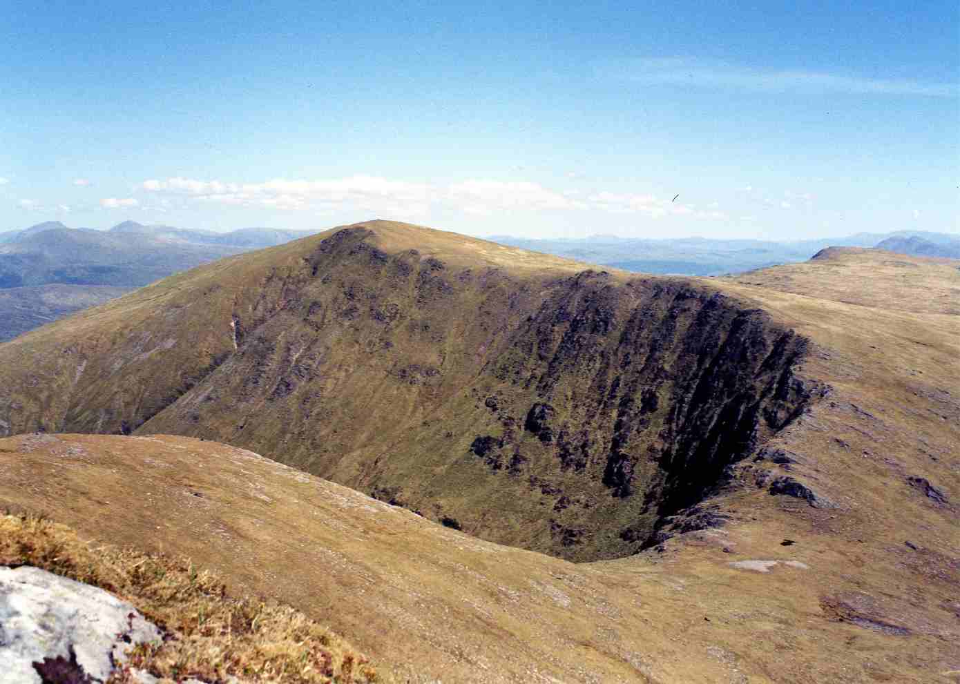
Mòruisg

Mòruisg is a Scottish mountain situated in the Glencarron and Glenuig Forest, 10 kilometres south west of the village of Achnasheen in the Highland council...

Have you been to Coille Bhreac?

Leave your review of Coille Bhreac below (or comments, questions and feedback).