Broad Moor
Downs, Moorland in Wigtownshire
Scotland
Broad Moor
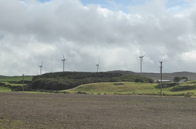
Broad Moor is a picturesque area located in Wigtownshire, a historic county in the southwest region of Scotland. Situated amidst rolling hills and rugged landscapes, this downs and moorland expanse covers a considerable area of approximately 50 square kilometers.
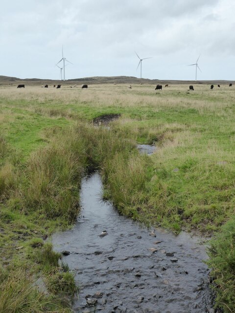
The terrain of Broad Moor is characterized by undulating hills, heathland, and scattered patches of boggy areas. The area boasts a unique and diverse ecosystem, comprising both dry and wet habitats that support a wide range of flora and fauna. The moorland is adorned with an array of vibrant heather, grasses, and wildflowers, creating a breathtaking sight during the summer months.
Due to its remote and tranquil location, Broad Moor is a haven for wildlife. It is home to various bird species, including red grouse, curlews, and lapwings, which thrive in the open moorland environment. Additionally, small mammals like rabbits and voles can be spotted darting across the grassy expanses, while larger mammals such as red deer and hares are known to roam the area.
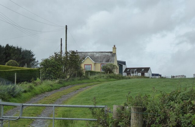
Visitors to Broad Moor can enjoy its natural beauty and partake in activities like hiking, birdwatching, and nature photography. The moorland is crisscrossed by a network of walking trails, offering stunning panoramic views of the surrounding countryside. It is also a popular spot for nature enthusiasts and researchers, who can study the diverse plant and animal life that thrives in this unique habitat.
Broad Moor is a true gem of Wigtownshire, offering a serene escape into the heart of nature, where visitors can immerse themselves in the splendor of Scotland's scenic countryside.
If you have any feedback on the listing, please let us know in the comments section below.
Broad Moor Images
Images are sourced within 2km of 54.881852/-5.0866853 or Grid Reference NX0258. Thanks to Geograph Open Source API. All images are credited.


Broad Moor is located at Grid Ref: NX0258 (Lat: 54.881852, Lng: -5.0866853)
Unitary Authority: Dumfries and Galloway
Police Authority: Dumfries and Galloway
What 3 Words
///arena.refer.fears. Near Stranraer, Dumfries & Galloway
Nearby Locations
Related Wikis

Rhins of Galloway
The Rhins of Galloway, otherwise known as the Rhins of Wigtownshire (or as The Rhins, also spelled The Rhinns; Scottish Gaelic: Na Rannaibh), is a hammer...

Colfin railway station
Colfin railway station, located in Wigtownshire, Scotland, between Portpatrick and Stranraer, was a station on the Portpatrick and Wigtownshire Joint Railway...

Portpatrick railway station
Portpatrick railway station was a railway station serving the village of Portpatrick, Dumfries & Galloway, Scotland. Opened in 1862 the station served...

Stranraer
Stranraer (UK: stran-RAR, in Scotland also strən-; Scottish Gaelic: An t-Sròn Reamhar [ən̪ˠ t̪ʰɾɔːn ˈɾãũ.əɾ]), also known as The Toon, is a town in Dumfries...

MV Craigantlet
MV Craigantlet was a German-owned, Cyprus-registered container ship operated on time-charter by Cawoods Containers Ltd of Belfast. She ran aground on 26...

Stranraer Sheriff Court
Stranraer Sheriff Court is a judicial building in Lewis Street, Stranraer, Dumfries and Galloway, Scotland. The building, which continues to be used as...

Killantringan Lighthouse
Killantringan Lighthouse is a lighthouse located near Portpatrick in Dumfries and Galloway, south-west Scotland. The light came into operation in 1900...

Old Town Hall, Stranraer
The Old Town Hall is a municipal structure in George Street, Stranraer, Dumfries and Galloway, Scotland. The structure, which is used as a local history...
Nearby Amenities
Located within 500m of 54.881852,-5.0866853Have you been to Broad Moor?
Leave your review of Broad Moor below (or comments, questions and feedback).