Enoch Moor

Downs, Moorland in Wigtownshire

Scotland

Enoch Moor

War Memorial Port Patrick The war memorial at Port Patrick located at the junction of Main Street and Heugh Road.
War Memorial Port Patrick Credit: Steve Houldsworth

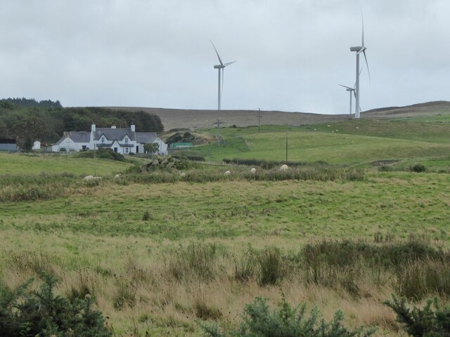
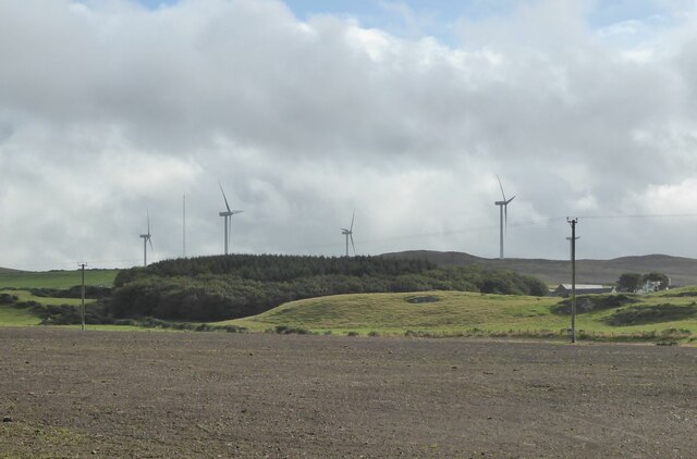
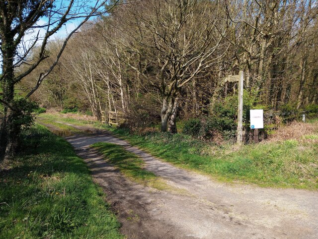
Enoch Moor is a vast expanse of downs and moorland located in Wigtownshire, Scotland. Stretching over an area of approximately 500 hectares, this picturesque landscape offers a diverse range of natural features and habitats.

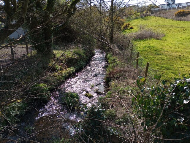
The moorland is characterized by its undulating terrain, covered in heather, grasses, and patches of bracken. The area is interspersed with small lochs and streams, adding to its scenic beauty. Enoch Burn, a river that runs through the moor, provides a vital water source for the surrounding flora and fauna.

The downs of Enoch Moor are home to a variety of plant species, including bilberry, cotton grass, and bog rosemary. These plants thrive in the acidic and nutrient-poor soil of the moorland. In spring and summer, the downs come alive with a burst of vibrant colors as wildflowers bloom.

This moorland is not only visually appealing but also serves as an important habitat for several bird species, such as curlews, lapwings, and red grouse. The open landscape and abundance of insects make it an excellent foraging ground for these birds. Enoch Moor also supports a population of diverse mammals, including red deer and brown hare.

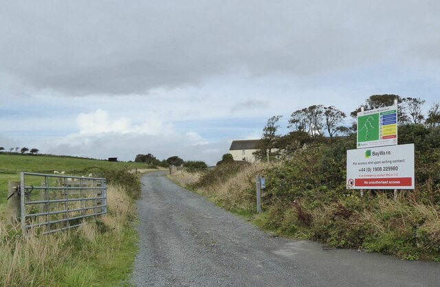
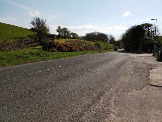
Enoch Moor is a popular destination for nature enthusiasts, walkers, and birdwatchers. Its tranquil atmosphere and breathtaking vistas make it an ideal place for relaxation and exploration. Visitors can enjoy scenic walks along the designated trails, taking in the panoramic views of the surrounding countryside.

Overall, Enoch Moor is a captivating landscape that showcases the natural beauty and biodiversity of Wigtownshire. It offers a unique opportunity to immerse oneself in the tranquility of nature and appreciate the wonders of the Scottish countryside.

If you have any feedback on the listing, please let us know in the comments section below.
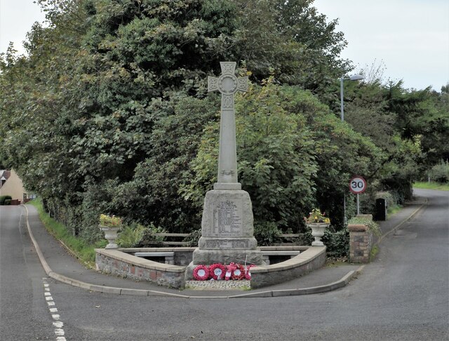
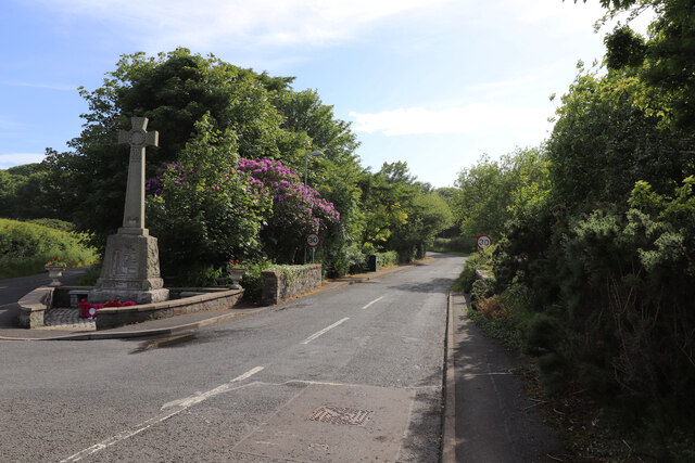
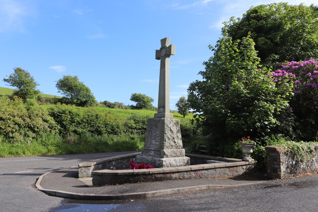
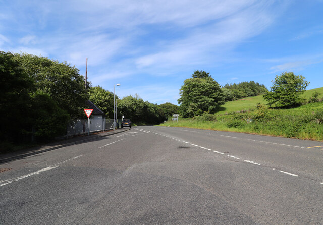
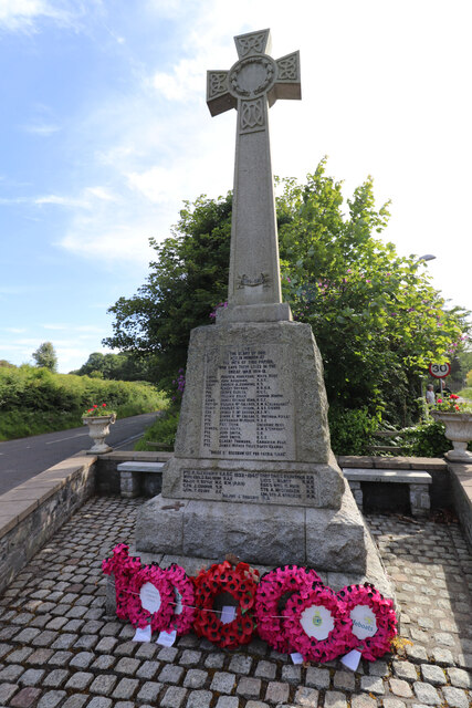
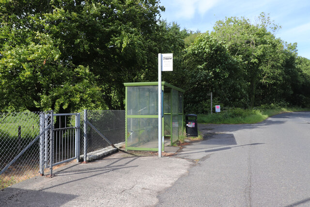
Enoch Moor Images

Images are sourced within 2km of 54.857508/-5.0851514 or Grid Reference NX0255. Thanks to Geograph Open Source API. All images are credited.

War Memorial Port Patrick The war memorial at Port Patrick located at the junction of Main Street and Heugh Road.
War Memorial Port Patrick
The war memorial at Port Patrick located at the junction of Main Street and Heugh Road.
Heugh Road, Portpatrick With the War Memorial on the left.
Heugh Road, Portpatrick
With the War Memorial on the left.
War Memorial, Portpatrick At the junction of Heugh Road and Main Street.
War Memorial, Portpatrick
At the junction of Heugh Road and Main Street.
Junction of Heugh Road and the A77 At Portpatrick, the A77 heading for Stranraer.
Junction of Heugh Road and the A77
At Portpatrick, the A77 heading for Stranraer.
War Memorial, Portpatrick At the junction of Main Street (left) and Heugh Road (right).
War Memorial, Portpatrick
At the junction of Main Street (left) and Heugh Road (right).
Bus Stop & Shelter, Portpatrick For the bus to Stranraer.
Bus Stop & Shelter, Portpatrick
For the bus to Stranraer.
War Memorial, Portpatrick To the first world war.
War Memorial, Portpatrick
To the first world war.
Cross on the War Memorial, Portpatrick Located at the junction of Main Street and Heugh Road.
Cross on the War Memorial, Portpatrick
Located at the junction of Main Street and Heugh Road.
Sheep in rough pasture  Near Low Auchenree with the wind farm on Craigenlee Fell in the distance.
Sheep in rough pasture
Near Low Auchenree with the wind farm on Craigenlee Fell in the distance.
Low Auchenree on the right With the North Rhins Wind Farm on Craigenlee Fell in the background.
Low Auchenree on the right
With the North Rhins Wind Farm on Craigenlee Fell in the background.
Access to the North Rhins Wind Farm On Craigenlee Fell some 2 km further north.
Enoch farm is just right of centre.
Access to the North Rhins Wind Farm
On Craigenlee Fell some 2 km further north. Enoch farm is just right of centre.
Meikle Pinminnoch Beside the A77.
Meikle Pinminnoch
Beside the A77.
Dinvin Burn On the outskirts of Portpatrick
Dinvin Burn
On the outskirts of Portpatrick
Entrance to path Sign points way to Dunskey Glen 3/4 mile
Entrance to path
Sign points way to Dunskey Glen 3/4 mile
A77 on outskirts of Portpatrick With war memorial at junction
A77 on outskirts of Portpatrick
With war memorial at junction
Old milestone In the 19C Port Patrick was the port from which boats with passengers, cargo and mail sailed for Ireland and sometimes troops.   In 2014 this milestone looked fairly freshly painted and it still looks good in 2023.  But the ivy needs to be kept at bay.   A milestone of similar dimensions is on the A75 out of Stranraer but it has a replacement plate <a href="https://www.geograph.org.uk/gridref/NX06806070">NX06806070</a>.   Because it was not usual for milestones to be moved the OS used some of them for their cut bench marks.
Old milestone
In the 19C Port Patrick was the port from which boats with passengers, cargo and mail sailed for Ireland and sometimes troops. In 2014 this milestone looked fairly freshly painted and it still looks good in 2023. But the ivy needs to be kept at bay. A milestone of similar dimensions is on the A75 out of Stranraer but it has a replacement plate NX06806070. Because it was not usual for milestones to be moved the OS used some of them for their cut bench marks.
Old milestone An excellent bus shelter at the edge of the woods with the milestone just a few metres to the east.
Old milestone
An excellent bus shelter at the edge of the woods with the milestone just a few metres to the east.
Old milestone It doesn't look as if this milestone has received any tlc since I photographed it in 2008.   It is near the minor cross roads leading south to Lagganmore and north along the line of the Old Military Road towards Stranraer.  Another milestone for the bench mark enthusiasts.
Old milestone
It doesn't look as if this milestone has received any tlc since I photographed it in 2008. It is near the minor cross roads leading south to Lagganmore and north along the line of the Old Military Road towards Stranraer. Another milestone for the bench mark enthusiasts.
Show me another place!

Enoch Moor is located at Grid Ref: NX0255 (Lat: 54.857508, Lng: -5.0851514)

Unitary Authority: Dumfries and Galloway

Police Authority: Dumfries and Galloway

What 3 Words

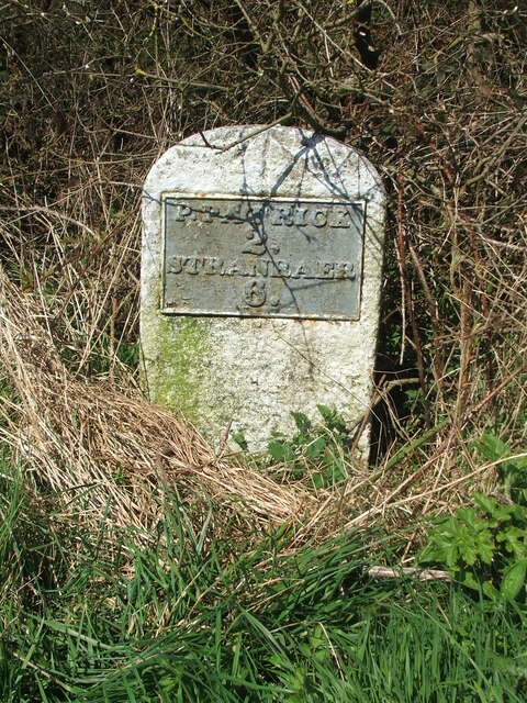
///lyricist.fetch.olive. Near Stranraer, Dumfries & Galloway

Related Wikis

Colfin railway station

Colfin railway station, located in Wigtownshire, Scotland, between Portpatrick and Stranraer, was a station on the Portpatrick and Wigtownshire Joint Railway...

Portpatrick railway station

Portpatrick railway station was a railway station serving the village of Portpatrick, Dumfries & Galloway, Scotland. Opened in 1862 the station served...

Rhins of Galloway

The Rhins of Galloway, otherwise known as the Rhins of Wigtownshire (or as The Rhins, also spelled The Rhinns; Scottish Gaelic: Na Rannaibh), is a hammer...

Dunskey

Dunskey Estate (also known as Portree Estate) is north of Portpatrick on the west coast of Scotland. The B-listed mansion dates from the start of the twentieth...

Portpatrick

Portpatrick is a village and civil parish in the historical county of Wigtownshire, Dumfries and Galloway, Scotland. It is located on the west coast of...

Dunskey Castle

Dunskey Castle is a ruined, 12th-century tower house or castle, located 0.5 miles (0.80 km) south of the village of Portpatrick, Rhinns, Wigtownshire,...

MV Craigantlet

MV Craigantlet was a German-owned, Cyprus-registered container ship operated on time-charter by Cawoods Containers Ltd of Belfast. She ran aground on 26...

Killantringan Lighthouse

Killantringan Lighthouse is a lighthouse located near Portpatrick in Dumfries and Galloway, south-west Scotland. The light came into operation in 1900...

Nearby Amenities

Located within 500m of 54.857508,-5.0851514
Power: pole
Lat/Long: 54.8611951/-5.089497
Power: pole
Lat/Long: 54.8605745/-5.0908569
Power: pole
Lat/Long: 54.8617219/-5.0824548
Power: pole
Lat/Long: 54.8612306/-5.0813799
Power: pole
Lat/Long: 54.8608018/-5.0804428
The data included in this document is from www.openstreetmap.org. The data is made available under ODbL.

Have you been to Enoch Moor?

Leave your review of Enoch Moor below (or comments, questions and feedback).