Allt Tabor

Downs, Moorland in Pembrokeshire

Wales

Allt Tabor

Hillside above Pwllgwaelod The whole of Dinas Island is on a slope but it is steeper at this southern end.
Hillside above Pwllgwaelod Credit: Bill Boaden

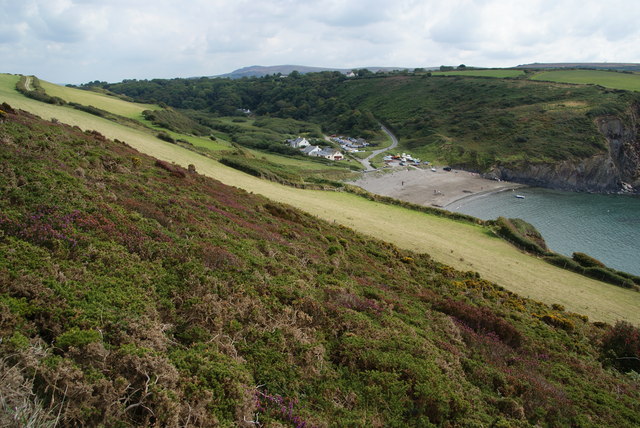
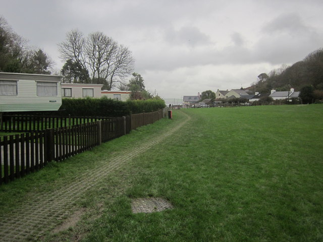
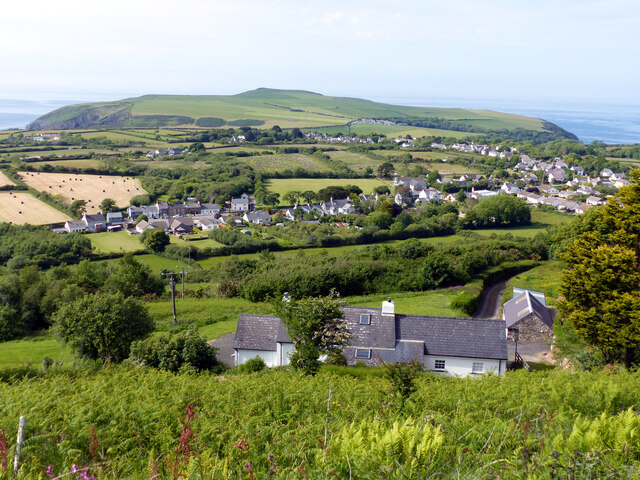
Allt Tabor is a stunning area located in Pembrokeshire, Wales, known for its breathtaking downs and moorland. Covering a vast expanse, this picturesque landscape offers visitors a unique and tranquil experience.

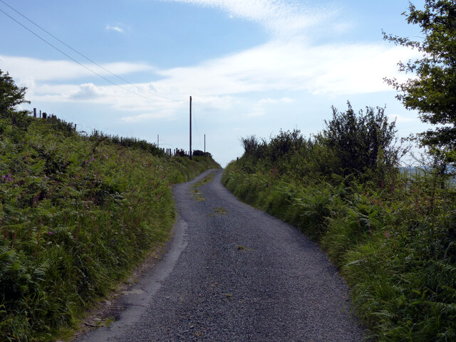
The downs of Allt Tabor are characterized by their rolling hills, lush green grass, and rugged beauty. Walking along the downs, visitors can enjoy panoramic views of the surrounding countryside, dotted with vibrant wildflowers during the spring and summer months. The area is also home to a variety of wildlife, including birds such as skylarks and kestrels, which can often be spotted soaring above.

The moorland in Allt Tabor provides a stark contrast to the downs. With its open, expansive terrain and heather-covered hills, this area offers a sense of remoteness and solitude. Walking through the moorland, visitors can immerse themselves in the raw beauty of the landscape and admire the unique flora and fauna that call this place home. The moorland is particularly striking during the autumn months when the heather blooms and paints the hills in vibrant shades of purple.

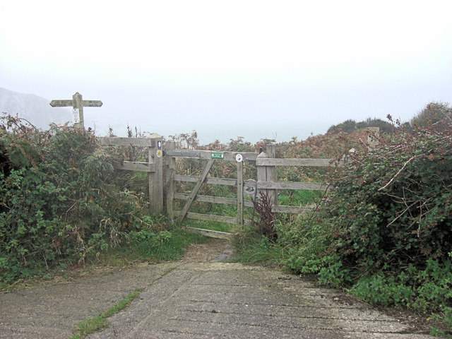
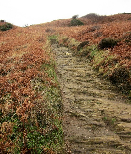
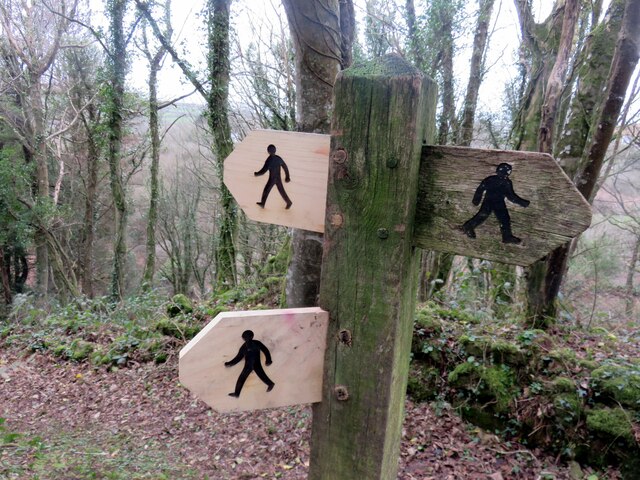
Allt Tabor is a popular destination for outdoor enthusiasts and nature lovers alike. The area offers a range of activities, including hiking, birdwatching, and photography. With its unspoiled natural beauty and peaceful atmosphere, Allt Tabor is a must-visit for those seeking a tranquil escape in the heart of Pembrokeshire.

If you have any feedback on the listing, please let us know in the comments section below.
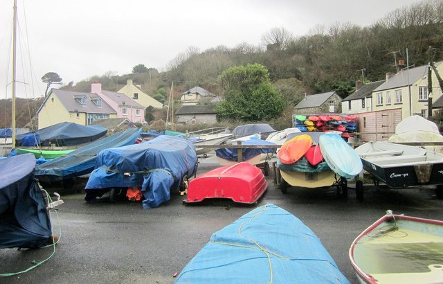
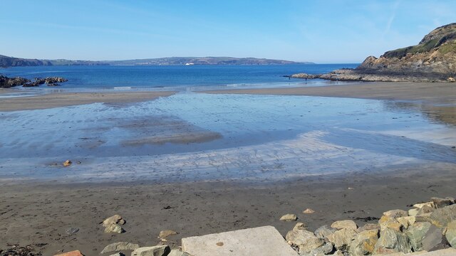
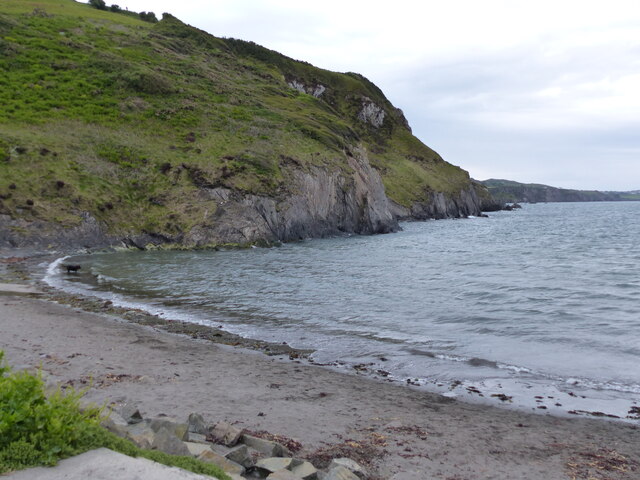
Allt Tabor Images

Images are sourced within 2km of 52.005824/-4.9053739 or Grid Reference SN0038. Thanks to Geograph Open Source API. All images are credited.

Hillside above Pwllgwaelod The whole of Dinas Island is on a slope but it is steeper at this southern end.
Hillside above Pwllgwaelod
The whole of Dinas Island is on a slope but it is steeper at this southern end.
Start of Dinas Head footpath
Coast path on Dinas Island A steep ascent away from Pwllgwaelod up footpath PP16 46/1, with the path's surface the rock itself.
Coast path on Dinas Island
A steep ascent away from Pwllgwaelod up footpath PP16 46/1, with the path's surface the rock itself.
Path junction, Cwm-yr-Eglwys Footpath PP16 45/2 joins the coast path here from the left. (The coast path is mapped as an alternative to the strenuous route around Dinas Island). On the left is the swampy woodland shown in <a href="https://www.geograph.org.uk/photo/4529419">SN0139 : Swampy woodland, Cwm Dewi</a>.
Path junction, Cwm-yr-Eglwys
Footpath PP16 45/2 joins the coast path here from the left. (The coast path is mapped as an alternative to the strenuous route around Dinas Island). On the left is the swampy woodland shown in SN0139 : Swampy woodland, Cwm Dewi.
Cwm-yr-Eglwys Caravan Park The easy inland version of the coast path runs through this caravan site to the sea by the ruined church.
Cwm-yr-Eglwys Caravan Park
The easy inland version of the coast path runs through this caravan site to the sea by the ruined church.
Boat park, Cwm-yr-Eglwys From the inland arm of the coast path.
Boat park, Cwm-yr-Eglwys
From the inland arm of the coast path.
Pig sty, Pen-y-wennol The pig sty at the site of the now-ruined farm of Pen-y-wennol was restored to  immaculate condition in 2011, when this photo was taken. It has since become very overgrown. It can be viewed from a footpath running along the hillside.

Pen-y-wennol: top of the shuttle, probably a reference to the steep winding road from the village to access the place - although 'gwennol' is also the word for swallow (the bird).
Pig sty, Pen-y-wennol
The pig sty at the site of the now-ruined farm of Pen-y-wennol was restored to immaculate condition in 2011, when this photo was taken. It has since become very overgrown. It can be viewed from a footpath running along the hillside. Pen-y-wennol: top of the shuttle, probably a reference to the steep winding road from the village to access the place - although 'gwennol' is also the word for swallow (the bird).
Pwllgwaelod Beach
Pwllgwaelod Beach
Foot path direction signs New signage added to old. The figures look very masculine, striding out with an apprearance of urgency rather than pleasure.
Foot path direction signs
New signage added to old. The figures look very masculine, striding out with an apprearance of urgency rather than pleasure.
Lane heading south-west on hill above Dinas Cross
Dinas Cross seen from the scenic view point
Hillside houses south of Dinas Cross
Bi-lingual road sign at roadworks
Car park and public toilets at Pwllgwaelod Beach
Pwllgwaelod Beach, looking south-west
At Garden Terrace, on the A487 in Dinas Cross, heading east
View to Mynydd Dinas From the Magic Garden at Dyffryn Fernant
View to Mynydd Dinas
From the Magic Garden at Dyffryn Fernant
Entering Dinas Cross on the A487 The old telephone kiosk has been painted green and now houses a defibrillator.
Entering Dinas Cross on the A487
The old telephone kiosk has been painted green and now houses a defibrillator.
Show me another place!

Allt Tabor is located at Grid Ref: SN0038 (Lat: 52.005824, Lng: -4.9053739)

Unitary Authority: Pembrokeshire

Police Authority: Dyfed Powys

What 3 Words

///cackling.collide.poodle. Near Fishguard, Pembrokeshire

Related Wikis

Dinas Cross

Dinas Cross (Welsh: Dinas) is both a village, a community and a former parish in Pembrokeshire, Wales. Located between Fishguard and Newport in the Pembrokeshire...

Brynhenllan

Bryn-henllan, Bryn Henllan or Brynhenllan is a small settlement in the community of Dinas Cross, north Pembrokeshire, Wales, just north of the A487 road...

Cwm Dewi

Cwm Dewi is a Site of Special Scientific Interest (or SSSI) in Pembrokeshire, South Wales. It has been designated as a Site of Special Scientific Interest...

Pwllgwaelod

Pwllgwaelod (originally Y Pwll Gwaelod, Welsh for The Bottom Cove/Creek) is a small scattered hamlet centred on a bay on the south-western side of the...

Nearby Amenities

Located within 500m of 52.005824,-4.9053739
Post Box
Post Box Type: lamp
Royal Cypher: EIIR
Royal Cypher Wikidata: Q33102113
Lat/Long: 52.007241/-4.9091585
Parking
Fee: no
Parking: surface
Lat/Long: 52.0071039/-4.9002763
Tourism: viewpoint
Lat/Long: 52.0072526/-4.9005043
Give Way
Direction: forward
Lat/Long: 52.0070514/-4.9000747
Give Way
Direction: forward
Lat/Long: 52.0082864/-4.9071871
Give Way
Direction: forward
Lat/Long: 52.0065998/-4.9099315
Power: pole
Lat/Long: 52.0086495/-4.900479
Power: pole
Lat/Long: 52.0081955/-4.9019355
Power: pole
Lat/Long: 52.0078091/-4.9031357
Power: pole
Lat/Long: 52.0070802/-4.9052212
Power: pole
Lat/Long: 52.006376/-4.9062391
Power: pole
Lat/Long: 52.0051459/-4.9081957
Power: pole
Lat/Long: 52.0045185/-4.9091667
Ford: yes
Lat/Long: 52.0078012/-4.9115843
Barrier: kissing_gate
Wheelchair: no
Lat/Long: 52.0089155/-4.9084454
Telephone
Defibrillator
Booth: KX100
Colour: green
Covered: booth
Defibrillator Location: inside telephone box painted green
Emergency: defibrillator
Man Made: telephone_box
Lat/Long: 52.0063304/-4.9102365
Historic: monument
Lat/Long: 52.0058796/-4.9108279
Cafe
Te Orinda
Check Date: 2022-08-12
Opening Hours: PH,Fr-Su 10:00-16:00
Payment Mastercard: yes
Payment Visa: yes
Wheelchair: yes
Lat/Long: 52.0090995/-4.9079956
The data included in this document is from www.openstreetmap.org. The data is made available under ODbL.

Have you been to Allt Tabor?

Leave your review of Allt Tabor below (or comments, questions and feedback).