Commerce Common
Downs, Moorland in Cornwall
England
Commerce Common

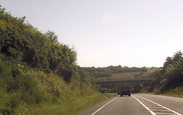
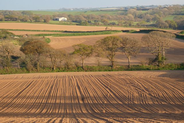
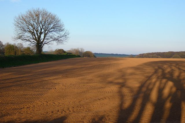
Commerce Common is a picturesque and expansive area located in Cornwall, encompassing both Downs and Moorland landscapes. Situated in the southwestern region of England, this natural gem offers a diverse array of flora and fauna, making it a popular destination for nature enthusiasts and wildlife lovers.
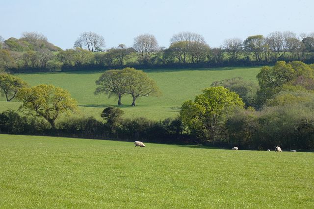
The Downs portion of Commerce Common is characterized by its rolling hills and breathtaking views. Visitors can enjoy long walks or hikes along the well-maintained trails that traverse the area, taking in the stunning vistas of the surrounding countryside. The Downs are also home to a variety of rare plant species, which contribute to the area's ecological significance.
On the other hand, the Moorland section of Commerce Common showcases a unique and rugged terrain. Here, visitors can immerse themselves in the untamed beauty of the moors, with their heather-covered hills and scattered rocky outcrops. The Moorland is known for its rich biodiversity, providing a habitat for numerous bird species and small mammals.
Commerce Common offers an excellent opportunity for wildlife spotting, with sightings of red deer, wild ponies, and various bird species being quite common. The tranquil environment and abundance of natural resources make it an ideal place for birdwatching and photography.
Furthermore, Commerce Common has several designated picnic areas, allowing visitors to relax and enjoy a meal amidst the stunning surroundings. The area is also equipped with information boards and educational displays, providing visitors with insights into the local flora, fauna, and conservation efforts.
In conclusion, Commerce Common in Cornwall is a haven of natural beauty, offering both Downs and Moorland landscapes, diverse wildlife, and a tranquil atmosphere. It is a must-visit destination for those seeking to connect with nature and experience the splendor of Cornwall's countryside.
If you have any feedback on the listing, please let us know in the comments section below.
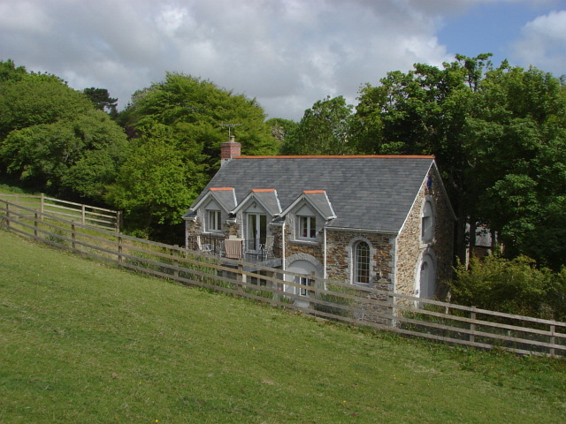
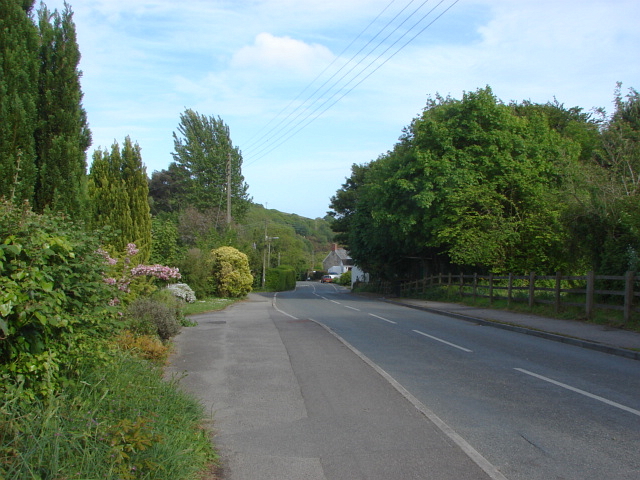
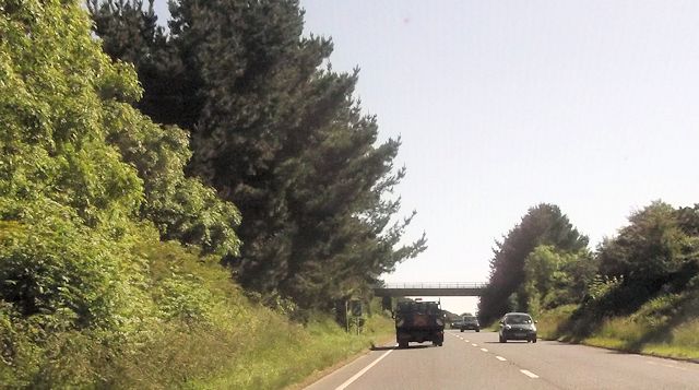
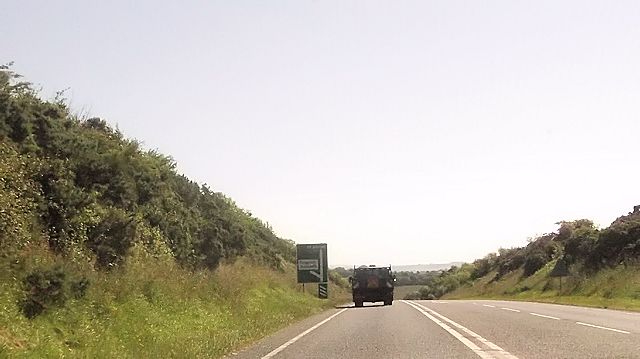
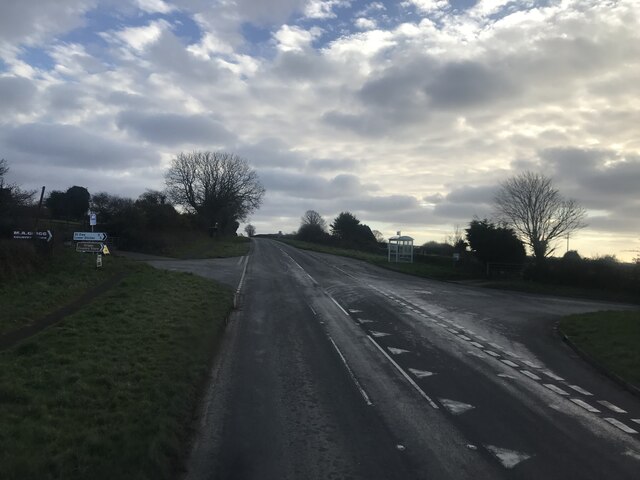
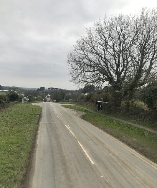
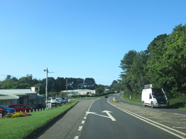
Commerce Common Images
Images are sourced within 2km of 50.313811/-4.8330449 or Grid Reference SW9849. Thanks to Geograph Open Source API. All images are credited.


Commerce Common is located at Grid Ref: SW9849 (Lat: 50.313811, Lng: -4.8330449)
Unitary Authority: Cornwall
Police Authority: Devon and Cornwall
What 3 Words
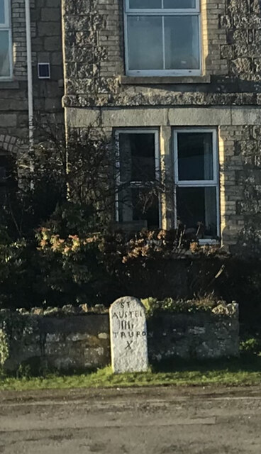
///tilts.soldiers.capacity. Near St Austell, Cornwall
Nearby Locations
Related Wikis

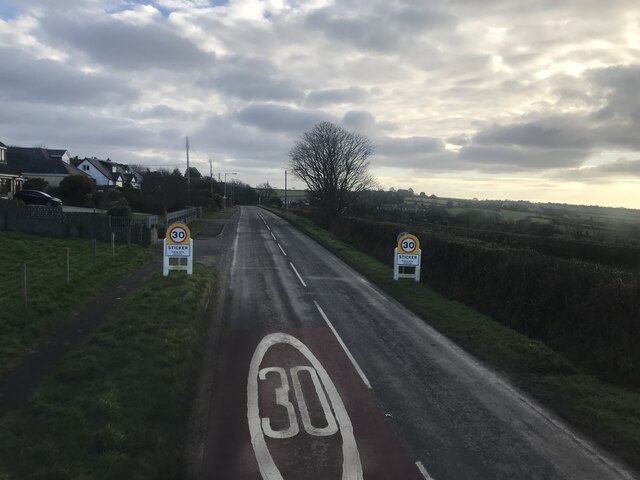
Sticker, Cornwall
Sticker (Cornish: Stekyer) is a former mining village in south Cornwall, England, United Kingdom. It lies in the parish of St Mewan. The nearest town is...

Paramoor
Paramoor is a hamlet near St Mewan in Cornwall, England. Paramoor is southwest of Sticker and Paramoor Wood is nearby. == References ==

Trelowth
Trelowth (also Trelowith, or Trelowthe, or Trelowthes; meaning, "the town place of trees") is a hamlet in Cornwall, England, United Kingdom. It lies 2...

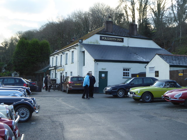
Polgooth
Polgooth (Cornish: Pollgoodh) is a former mining village in south Cornwall, England, United Kingdom. It lies mainly in the parish of St Mewan and partly...
Nearby Amenities
Located within 500m of 50.313811,-4.8330449Have you been to Commerce Common?
Leave your review of Commerce Common below (or comments, questions and feedback).