Attadale Forest
Downs, Moorland in Ross-shire
Scotland
Attadale Forest

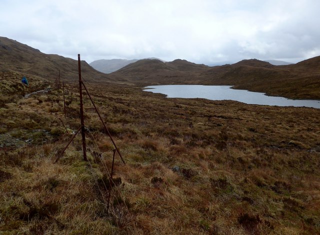
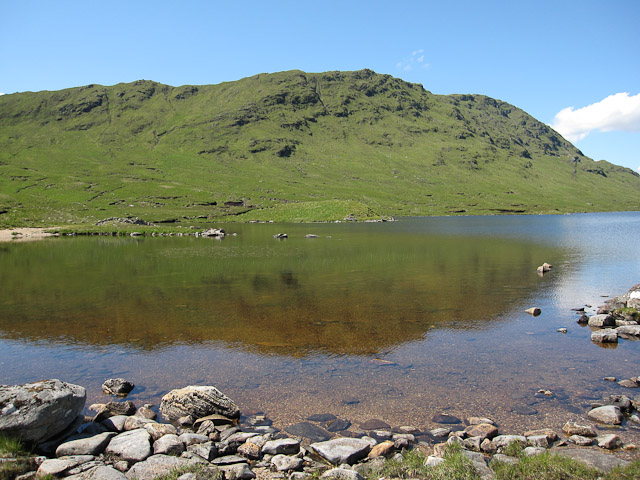
Attadale Forest is a picturesque woodland located in Ross-shire, Scotland. This enchanting forest covers an area of approximately 10,000 acres and is nestled amidst the stunning landscape of the Scottish Highlands. The forest is famous for its diverse flora and fauna, offering visitors a unique opportunity to explore the rich natural heritage of the region.
The terrain of Attadale Forest is a combination of downs and moorland. The downs are characterized by gently rolling hills covered in lush green grass, while the moorland consists of vast expanses of heather-covered hillsides. This varied landscape provides a perfect habitat for a wide range of plant and animal species.
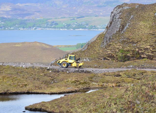
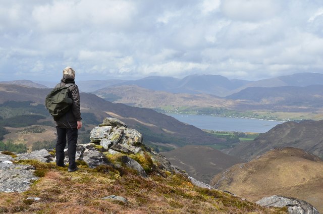
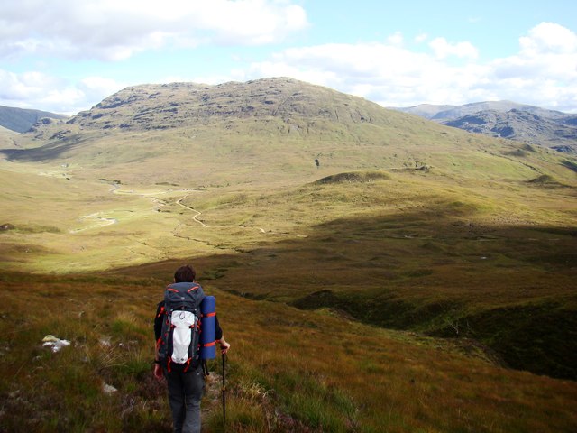
Visitors to Attadale Forest can enjoy a plethora of outdoor activities. The forest boasts a network of well-maintained walking trails, allowing visitors to explore the area at their own pace. These trails wind through the dense woodland, offering glimpses of beautiful waterfalls, sparkling lochs, and ancient ruins along the way.
Wildlife enthusiasts will be delighted by the abundance of animal species that call Attadale Forest home. Red deer, roe deer, and various bird species, including golden eagles and ospreys, can often be spotted throughout the forest. The forest is also home to a variety of rare and endangered plant species, making it a haven for botany enthusiasts.
In addition to its natural beauty, Attadale Forest is also home to the stunning Attadale Gardens, which are renowned for their collection of exotic plants and magnificent sculptures. These gardens provide a tranquil setting for visitors to relax and soak in the enchanting atmosphere of the forest.
Overall, Attadale Forest is a captivating destination that offers visitors a unique opportunity to immerse themselves in the natural beauty of the Scottish Highlands. Whether you are a nature lover, a hiker, or simply seeking a peaceful retreat, Attadale Forest is sure to leave a lasting impression.
If you have any feedback on the listing, please let us know in the comments section below.
Attadale Forest Images
Images are sourced within 2km of 57.380381/-5.3556847 or Grid Reference NG9837. Thanks to Geograph Open Source API. All images are credited.


Attadale Forest is located at Grid Ref: NG9837 (Lat: 57.380381, Lng: -5.3556847)
Unitary Authority: Highland
Police Authority: Highlands and Islands
What 3 Words
///likening.paces.message. Near Lochcarron, Highland
Nearby Locations
Related Wikis
Beinn Dronaig
Beinn Dronaig (797 m) is a mountain in the Northwest Highlands of Wester Ross, Scotland. A remote peak northeast of the village of Dornie, it is located...

Attadale, Scotland
Attadale (Gaelic: Attadal ) is a settlement and estate in Wester Ross, in the Highland council area of Scotland. It is on the southern shore of Loch Carron...
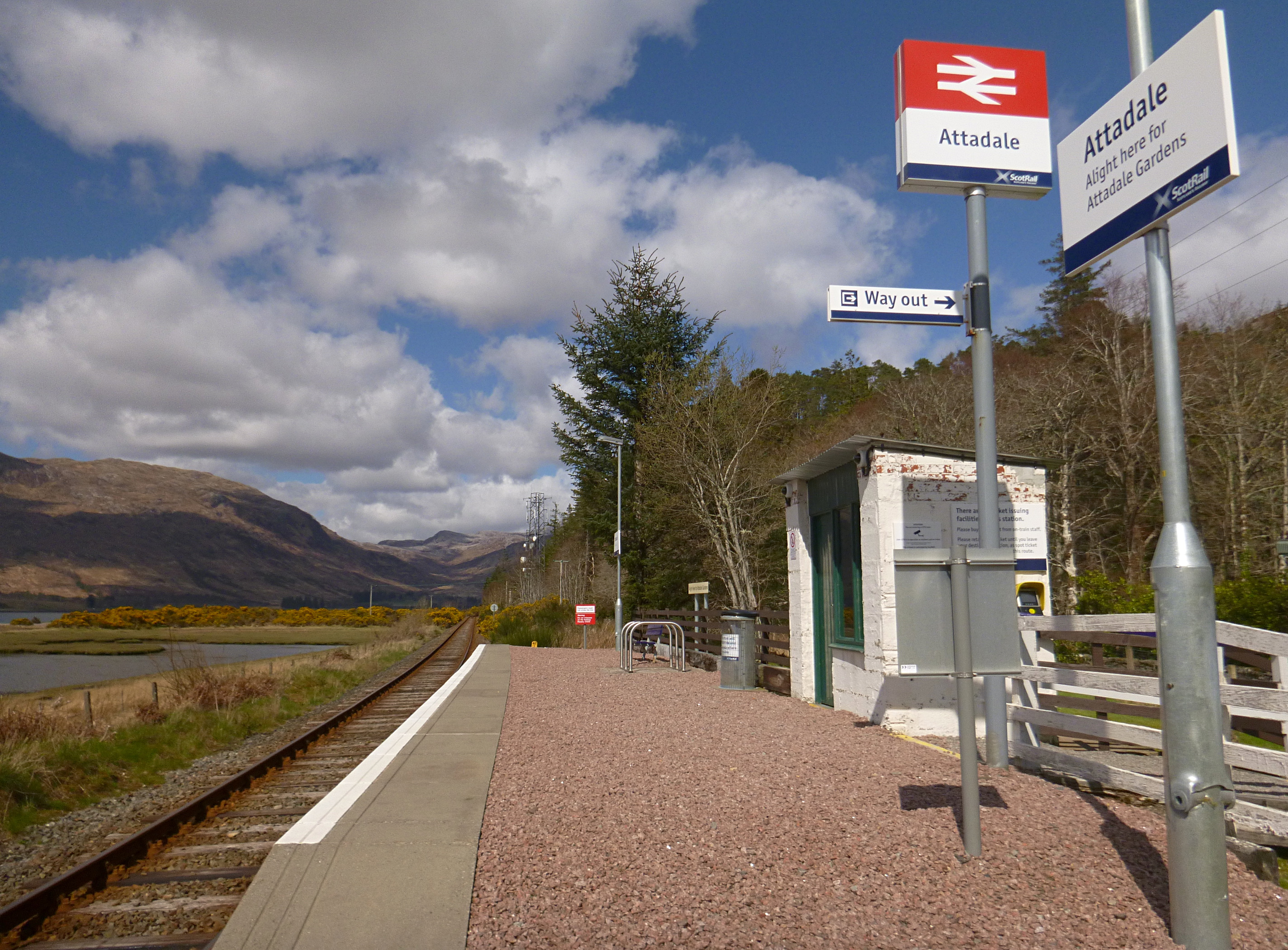
Attadale railway station
Attadale railway station is a remote railway station on the Kyle of Lochalsh Line, serving the village of Attadale on Loch Carron in the Highlands, northern...

Strathcarron railway station
Strathcarron railway station is a remote railway station on the Kyle of Lochalsh Line, serving the small village of Strathcarron and the larger village...

Strathcarron, Highland
Strathcarron (Scottish Gaelic: Srath Carrann) is a hamlet, in the Highland council area of Scotland. == Geography == It is situated at the head of the...

Sguman Coinntich
Sguman Coinntich (879 m) is a mountain in the Northwest Highlands, Scotland, east of the village of Dornie in Ross-shire. Sguman Coinntich is the highest...

River Carron, Wester Ross
River Carron (Scottish Gaelic: Carrann, pronounced [ˈkʰaᵲən̴̪]) is a west coast river in Wester Ross, in the Highlands of Scotland. The river rises in...

Bidein a' Choire Sheasgaich
Bidein a' Choire Sheasgaich (Scottish Gaelic: Bidean Coire an t-Seasgaich) is a remote mountain in the Northwest Highlands of Scotland. It is a Munro with...
Have you been to Attadale Forest?
Leave your review of Attadale Forest below (or comments, questions and feedback).