Trevenson Moor

Downs, Moorland in Cornwall

England

Trevenson Moor

Brea Methodist church On back road just East of tunnel
Brea Methodist church Credit: Paul Barnett

Trevenson Moor is a vast expanse of moorland located in Cornwall, England. Stretching over an area of approximately 4 square miles, it is situated on the outskirts of the town of Camborne. The moor is characterized by its rugged and wild landscape, featuring undulating hills, heather-covered expanses, and scattered patches of woodland.

The moor is known for its rich biodiversity and is home to a variety of flora and fauna. Heather dominates the landscape, providing a vibrant purple hue during the blooming season. Other plant species found here include gorse, bracken, and grasses. The moorland also serves as a habitat for numerous bird species, such as skylarks, stonechats, and meadow pipits. It is not uncommon to spot small mammals like rabbits, voles, and weasels scurrying through the undergrowth.

Trevenson Moor is a popular destination for outdoor enthusiasts and nature lovers. It offers a tranquil and peaceful atmosphere, ideal for hiking, birdwatching, and photography. Several walking trails crisscross the moor, allowing visitors to explore its unique landscape and discover its hidden treasures. The panoramic views from the higher points of the moor are breathtaking, offering glimpses of the surrounding countryside and distant coastlines.

The moorland is also of historical significance, with evidence of Bronze Age settlements and ancient burial sites scattered across its terrain. These archaeological remnants provide a glimpse into the area's past and add to the overall allure of Trevenson Moor.

Overall, Trevenson Moor is a captivating destination that showcases the natural beauty and historical heritage of Cornwall's countryside.

If you have any feedback on the listing, please let us know in the comments section below.

Trevenson Moor Images

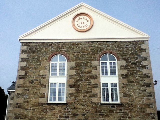
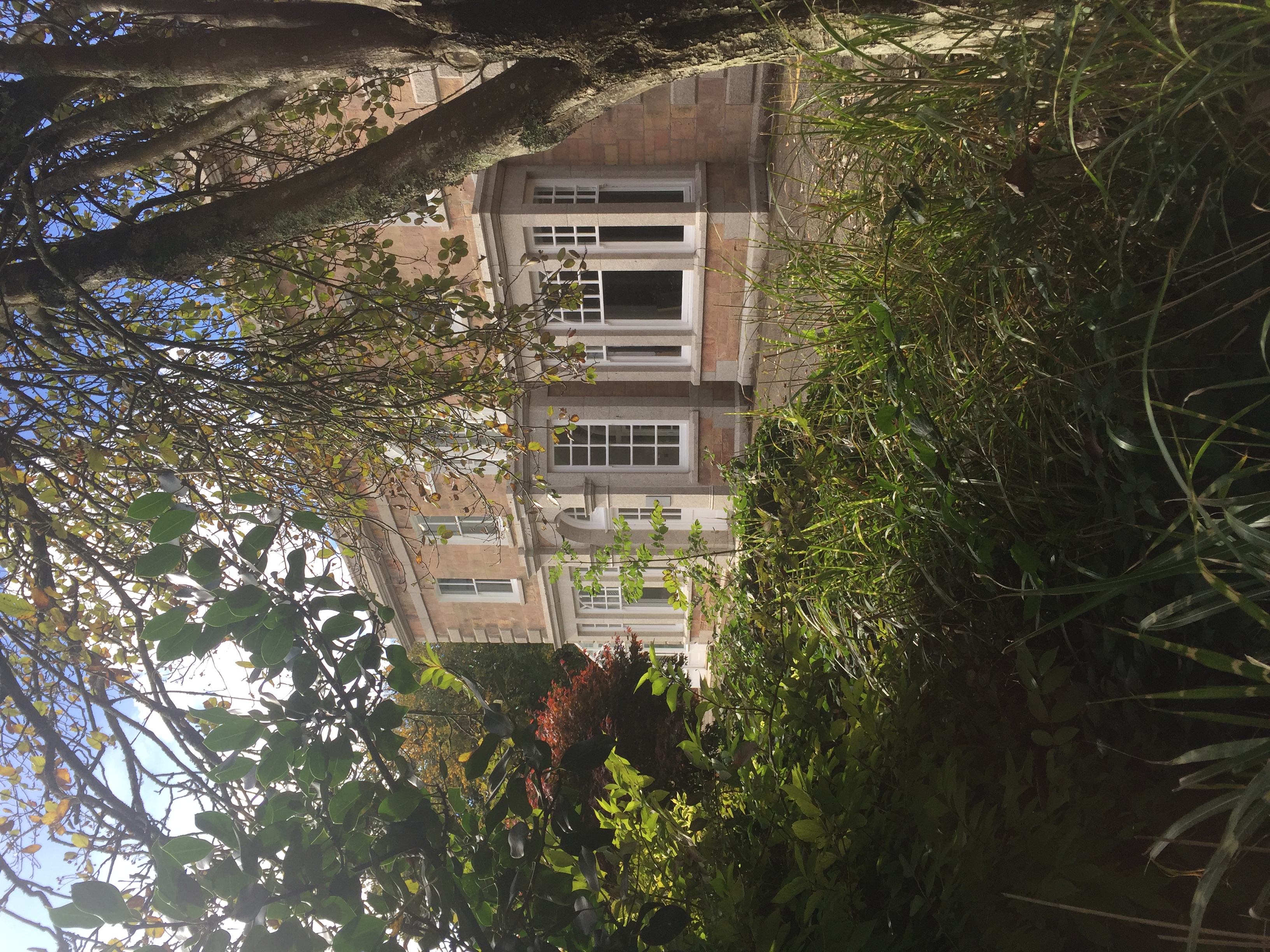
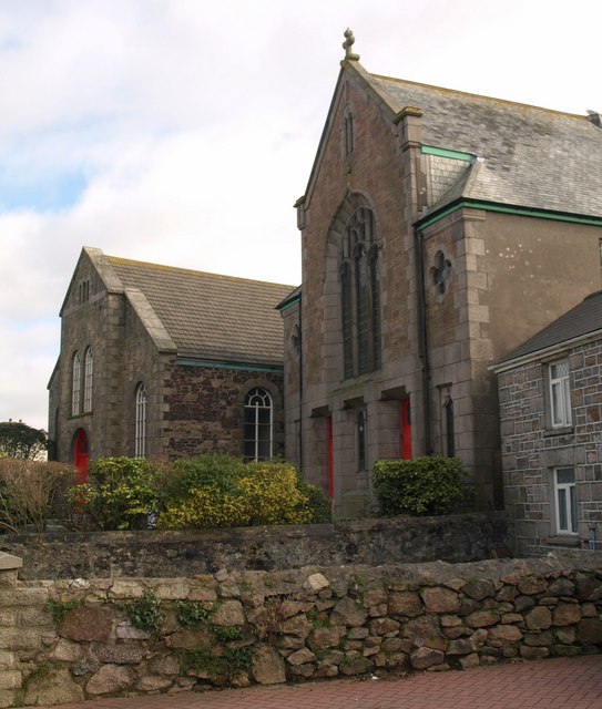
Images are sourced within 2km of 50.232373/-5.2778457 or Grid Reference SW6642. Thanks to Geograph Open Source API. All images are credited.

Brea Methodist church On back road just East of tunnel
Brea Methodist church
On back road just East of tunnel
Camborne Christian Spiritualist church A terrapin
Camborne Christian Spiritualist church
A terrapin
Illogan Downs former church Wesleyan
Illogan Downs former church
Wesleyan
Chili Road garages Site of former chapel
Chili Road garages
Site of former chapel
Tuckingmill church Baptist church
Tuckingmill church
Baptist church
South Crofty Mine One of the last working tin mines. <span class="nowrap"><a title="http://www.westernunitedmines.com/home" rel="nofollow ugc noopener" href="http://www.westernunitedmines.com/home">Link</a><img style="margin-left:2px;" alt="External link" title="External link - shift click to open in new window" src="https://s1.geograph.org.uk/img/external.png" width="10" height="10"/></span>
South Crofty Mine
One of the last working tin mines. LinkExternal link
Fence & track by the railway
Higher Brea
Higher Brea
Higher Brea
Higher Brea
Field near Brea
Field near Brea
Parked by the railway line near Camborne
Woodland by the Cornish Main Line
Engine House, Robinson's Shaft, South Crofty Mine Now part of the 'Heartlands' visitor attraction.
Engine House, Robinson's Shaft, South Crofty Mine
Now part of the 'Heartlands' visitor attraction.
Michell's Shaft Engine House, East Pool Mine
Taylors Shaft Engine House, East Pool Mine
South Crofty old tips
Warehouse by the Cornish Main Line
Show me another place!

Trevenson Moor is located at Grid Ref: SW6642 (Lat: 50.232373, Lng: -5.2778457)

Unitary Authority: Cornwall

Police Authority: Devon and Cornwall

What 3 Words

///iteration.sting.stalemate. Near Camborne, Cornwall

Nearby Locations

Trevenson Moor Park Bottom

Related Wikis

Trevenson

Trevenson (Cornish: Trevensyn) is in the parish of Carn Brea, between the towns of Camborne and Redruth in Cornwall, United Kingdom. == Trevenson House... ==

Pool Academy

Pool Academy is a mixed secondary school with academy status, located in Pool in the English county of Cornwall. == History == Although other schools had...

Park Bottom

Park Bottom is a hamlet north of Pool and near Illogan in west Cornwall, England. The village centers around one junction in the lower part of the town...

Illogan Highway

Illogan Highway is a village on the A30 main road west of Redruth in Cornwall, England, United Kingdom. It is in the civil parish of Carn Brea. Thomas...

Nearby Amenities

Located within 500m of 50.232373,-5.2778457
Traffic Signals
Lat/Long: 50.2303642/-5.283866
Give Way
Lat/Long: 50.230474/-5.2839209
Mini Roundabout
Direction: clockwise
Lat/Long: 50.2328306/-5.284343
Bus Stop
Pool School
Bus: yes
Fixme: No signage or road markings showing there is a bus stop here
Naptan AtcoCode: 0800COD41115
Naptan Bearing: SE
Naptan CommonName: Pool School
Naptan NaptanCode: coramadg
Naptan PlusbusZoneRef: CBORNE
Naptan Street: Church Road
Naptan Verified: no
Public Transport: platform
Source: naptan_import
Survey Date: 2021-05-26
Lat/Long: 50.229831/-5.2729224
Bus Stop
Pool School
Bus: yes
Description: Signage on pole with timetable board, opp the church and comminity hall
Naptan AtcoCode: 0800COD41116
Naptan Bearing: NW
Naptan CommonName: Pool School
Naptan Indicator: NW-bound
Naptan NaptanCode: coramada
Naptan PlusbusZoneRef: CBORNE
Naptan Street: Church Road
Public Transport: platform
Source: naptan_import;survey;bing
Survey Date: 2021-05-26
Lat/Long: 50.2301306/-5.2737051
Bus Stop
Tolvaddon Energy Park
Bus: yes
Description: Bus shelter just before the roundabout
Naptan AtcoCode: 0800COD41200
Naptan Bearing: N
Naptan CommonName: Tolvaddon Energy Park
Naptan Crossing: Huntersfield
Naptan Indicator: Opp
Naptan NaptanCode: corajtdt
Naptan PlusbusZoneRef: CBORNE
Naptan Street: Unclassified
Public Transport: platform
Source: naptan_import;survey
Survey Date: 2020-10-18
Lat/Long: 50.2325162/-5.284556
Bus Stop
Tolvaddon Energy Park
Bus: yes
Fixme Survey: Survied 2020-10-19, No bus stop signage or shelter seen
Naptan AtcoCode: 0800COD41201
Naptan Bearing: S
Naptan CommonName: Tolvaddon Energy Park
Naptan Crossing: Huntersfield
Naptan NaptanCode: corajtgd
Naptan PlusbusZoneRef: CBORNE
Naptan Street: Unclassified
Naptan Verified: no
Public Transport: platform
Source: naptan_import
Lat/Long: 50.2325184/-5.2844112
Power: tower
Source: bing
Lat/Long: 50.2366119/-5.2774496
Power: tower
Source: bing
Lat/Long: 50.234252/-5.2835275
Power: tower
Source: bing
Lat/Long: 50.2355127/-5.280477
Mini Roundabout
Direction: clockwise
Lat/Long: 50.2287582/-5.2749011
Agricultural: no
Barrier: bollard
Bicycle: yes
Foot: yes
Lat/Long: 50.2310157/-5.2746474
Barrier: bollard
Note: Drop bollard has been replaced with a fixed one
Lat/Long: 50.2317047/-5.2761216
Give Way
Direction: forward
Lat/Long: 50.2317738/-5.2757214
Traffic Signals
Lat/Long: 50.230461/-5.2834862
Give Way
Direction: backward
Lat/Long: 50.231607/-5.2765943
Give Way
Direction: backward
Lat/Long: 50.2318693/-5.2777242
Power: transformer
Source: Bing
Lat/Long: 50.2288484/-5.279807
Power: tower
Source: bing
Lat/Long: 50.2329673/-5.2783334
Power: transformer
Source: Bing
Lat/Long: 50.2291049/-5.2794444
Power: tower
Source: bing
Lat/Long: 50.2292433/-5.2800355
Power: tower
Source: bing
Lat/Long: 50.230966/-5.2799497
Traffic Signals
Traffic Signals: signal
Lat/Long: 50.2305028/-5.2835296
Traffic Signals
Traffic Signals: signal
Lat/Long: 50.2305813/-5.2837905
Power: pole
Lat/Long: 50.2281759/-5.2796794
Shop: garden_centre
Lat/Long: 50.2337365/-5.2784986
Location Transition: yes
Power: pole
Source: Bing; approxomate
Lat/Long: 50.2312131/-5.2770156
Power: pole
Source: Bing; approxomate
Lat/Long: 50.23163/-5.2761224
Power: pole
Source: Bing; approxomate
Lat/Long: 50.2321628/-5.2749449
Power: pole
Source: Bing; approxomate
Lat/Long: 50.2322597/-5.2737379
Power: pole
Source: Bing; approxomate
Lat/Long: 50.2325977/-5.2739793
Power: pole
Source: Bing; approxomate
Lat/Long: 50.2329769/-5.2721742
Power: pole
Source: Bing; approxomate
Lat/Long: 50.2331433/-5.2728072
Power: pole
Source: Bing; approxomate
Lat/Long: 50.2337026/-5.2715761
Charging Station
Authentication App: yes
Authentication Membership Card: yes
Capacity: 2
Operator: GeniePoint
Operator Wikidata: Q111363966
Socket Type2: 2
Socket Type2 Output: 22kW
Lat/Long: 50.2280527/-5.2763849
Charging Station
Authentication App: yes
Authentication Membership Card: yes
Capacity: 2
Operator: GeniePoint
Operator Wikidata: Q111363966
Socket Type2: 2
Socket Type2 Output: 22kW
Lat/Long: 50.2281028/-5.2765035
Bicycle Parking
Covered: yes
Lat/Long: 50.2282875/-5.2794122
Generator Method: photovoltaic
Generator Output Electricity: small_installation
Generator Source: solar
Generator Type: solar_photovoltaic_panel
Location: roof
Power: generator
Source: bing
Lat/Long: 50.2321413/-5.2846827
Direction: E
Generator Method: photovoltaic
Generator Output Electricity: small_installation
Generator Source: solar
Generator Type: solar_photovoltaic_panel
Location: roof
Power: generator
Source: bing
Survey Date: 2020-07-25
Lat/Long: 50.2318496/-5.2841905
Direction: W
Generator Method: photovoltaic
Generator Output Electricity: small_installation
Generator Source: solar
Generator Type: solar_photovoltaic_panel
Location: roof
Power: generator
Source: bing
Survey Date: 2020-07-25
Lat/Long: 50.2313409/-5.2842709
Generator Method: photovoltaic
Generator Output Electricity: small_installation
Generator Source: solar
Generator Type: solar_photovoltaic_panel
Location: roof
Power: generator
Source: bing
Lat/Long: 50.2311753/-5.28308
Direction: W
Generator Method: photovoltaic
Generator Output Electricity: small_installation
Generator Source: solar
Generator Type: solar_photovoltaic_panel
Location: roof
Power: generator
Source: bing;survey
Survey Date: 2020-07-25
Lat/Long: 50.2319911/-5.2842998
Direction: E
Generator Method: photovoltaic
Generator Output Electricity: small_installation
Generator Source: solar
Generator Type: solar_photovoltaic_panel
Location: roof
Power: generator
Source: bing;survey
Survey Date: 2020-07-25
Lat/Long: 50.2320572/-5.2842468
Direction: S
Generator Method: photovoltaic
Generator Output Electricity: small_installation
Generator Source: solar
Generator Type: solar_photovoltaic_panel
Location: roof
Power: generator
Source: bing;survey
Survey Date: 2020-07-25
Lat/Long: 50.2319744/-5.2841851
Direction: S
Generator Method: photovoltaic
Generator Output Electricity: small_installation
Generator Source: solar
Generator Type: solar_photovoltaic_panel
Location: roof
Power: generator
Source: bing;survey
Survey Date: 2020-07-25
Lat/Long: 50.232143/-5.284684
Crossing
Crossing: uncontrolled
Lat/Long: 50.2338497/-5.284277
Crossing
Crossing: uncontrolled
Lat/Long: 50.2338483/-5.2842018
Entrance: home
Lat/Long: 50.2337179/-5.2840942
Entrance: home
Lat/Long: 50.2336378/-5.2841463
Entrance: home
Lat/Long: 50.2336121/-5.2841498
Entrance: home
Lat/Long: 50.2335429/-5.2841591
Entrance: home
Lat/Long: 50.2335212/-5.284162
Entrance: home
Lat/Long: 50.2334525/-5.2841713
Entrance: home
Lat/Long: 50.2334301/-5.2841743
Entrance: home
Lat/Long: 50.2333118/-5.2836615
Entrance: home
Lat/Long: 50.2333229/-5.2838338
Entrance: home
Lat/Long: 50.2333439/-5.284132
Turning Circle
Lat/Long: 50.2331698/-5.2835682
Noexit: yes
Lat/Long: 50.2332685/-5.2838887
Noexit: yes
Lat/Long: 50.2335464/-5.2817658
Give Way
Direction: backward
Lat/Long: 50.232221/-5.2760091
Barrier: bollard
Lat/Long: 50.2316767/-5.2761472
Barrier: bollard
Lat/Long: 50.2316926/-5.2760862
Barrier: bollard
Lat/Long: 50.2317213/-5.2760909
Barrier: bollard
Lat/Long: 50.2317046/-5.2761653
Fixme Survey: Bus stop markings on the gound with shelter but no time table board, is this stop used?
Lat/Long: 50.2323566/-5.2797219
Fixme Survey: Bus stop markings on the gound but no time table board, is this stop used?
Lat/Long: 50.232209/-5.2801792
Barrier: lift_gate
Lat/Long: 50.2314399/-5.2820326
Street Lamp
Lat/Long: 50.2339904/-5.271395
Street Lamp
Lat/Long: 50.2336738/-5.2717913
Street Lamp
Lat/Long: 50.2333809/-5.2721635
Street Lamp
Lat/Long: 50.233166/-5.2725698
Street Lamp
Lat/Long: 50.2328846/-5.2729802
Street Lamp
Lat/Long: 50.2319392/-5.2739612
Street Lamp
Lat/Long: 50.2325432/-5.2733041
Information: board
Tourism: information
Lat/Long: 50.232876/-5.2828561
Entrance: yes
Lat/Long: 50.232215/-5.2835309
Entrance: yes
Lat/Long: 50.232244/-5.2836906
Entrance: yes
Lat/Long: 50.232102/-5.2832356
Entrance: yes
Lat/Long: 50.2321767/-5.2836358
Entrance: yes
Lat/Long: 50.232697/-5.2832773
Entrance: yes
Lat/Long: 50.2327285/-5.2834377
Entrance: yes
Lat/Long: 50.2328007/-5.2833118
Entrance: yes
Lat/Long: 50.2325951/-5.2824252
Entrance: yes
Lat/Long: 50.2326266/-5.28271
Power: pole
Lat/Long: 50.2287808/-5.279164
Power: pole
Lat/Long: 50.2287319/-5.2790809
Power: pole
Lat/Long: 50.2286933/-5.2792901
Power: pole
Lat/Long: 50.2286522/-5.279211
Power: pole
Lat/Long: 50.2286058/-5.2791198
Location Transition: yes
Power: pole
Lat/Long: 50.2282352/-5.2797326
Power: pole
Lat/Long: 50.2284119/-5.2806795
Power: pole
Lat/Long: 50.2286479/-5.2789387
Material: wood
Power: pole
Lat/Long: 50.2283742/-5.2809785
Power: pole
Lat/Long: 50.233483/-5.2812293
Power: pole
Lat/Long: 50.2342713/-5.2806339
Power: pole
Lat/Long: 50.2348735/-5.2810295
Power: pole
Lat/Long: 50.2358463/-5.2816786
Location Transition: yes
Power: pole
Lat/Long: 50.2296002/-5.279443
Power: pole
Lat/Long: 50.2303088/-5.2806875
Power: pole
Lat/Long: 50.2313589/-5.2811006
Power: pole
Lat/Long: 50.2320658/-5.2813929
Power: pole
Lat/Long: 50.2327383/-5.2816612
Waste Basket
Lat/Long: 50.2303963/-5.2738667
Power: switch
Lat/Long: 50.2291867/-5.2799526
Power: switch
Lat/Long: 50.2288009/-5.2793393
Power: pole
Lat/Long: 50.2345244/-5.2744299
Power: pole
Lat/Long: 50.2337455/-5.2732873
Location Transition: yes
Power: pole
Transformer: distribution
Lat/Long: 50.2319886/-5.275197
The data included in this document is from www.openstreetmap.org. The data is made available under ODbL.

Have you been to Trevenson Moor?

Leave your review of Trevenson Moor below (or comments, questions and feedback).