Carne Common

Downs, Moorland in Cornwall

England

Carne Common

St Crewenna's Church
St Crewenna's Church Credit: Paul Barnett

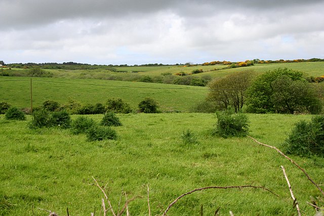
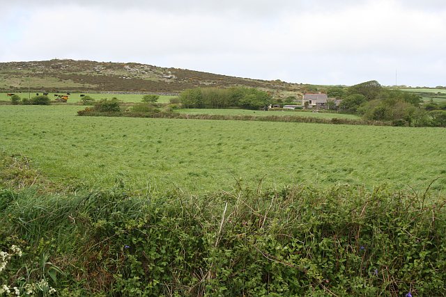
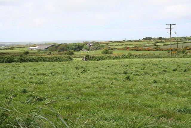
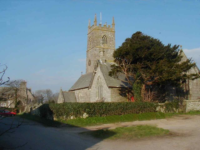
Carne Common is a picturesque area located in Cornwall, England. It is nestled amidst the rolling hills and beautiful landscapes of the county, offering visitors a serene and tranquil atmosphere. The common is situated on the Downs, a vast expanse of open moorland that stretches for miles.

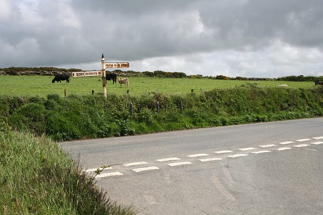
Carne Common is renowned for its breathtaking views and untouched natural beauty. The area is covered in lush green grass, dotted with colorful wildflowers during the warmer months. It is a haven for nature enthusiasts, with an abundance of wildlife to be discovered, including numerous species of birds, rabbits, and even the occasional deer.

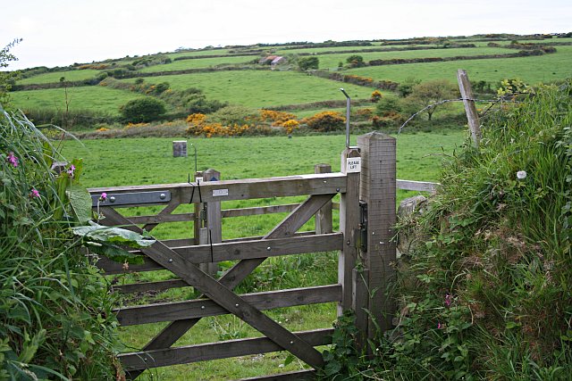
The common is a popular destination for outdoor activities such as walking, hiking, and horseback riding. There are several well-maintained footpaths and bridleways that crisscross the area, providing visitors with the opportunity to explore the stunning surroundings at their own pace. Adventurous souls can also embark on longer treks, venturing further into the moorland.

Carne Common is a truly idyllic spot for those seeking a peaceful retreat away from the hustle and bustle of everyday life. The wide-open spaces and fresh air offer a sense of freedom and tranquility, allowing visitors to unwind and connect with nature. Whether it's a leisurely stroll, a hearty hike, or simply sitting and admiring the breathtaking views, Carne Common is a hidden gem in Cornwall that never fails to captivate those who venture there.

If you have any feedback on the listing, please let us know in the comments section below.
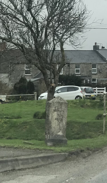
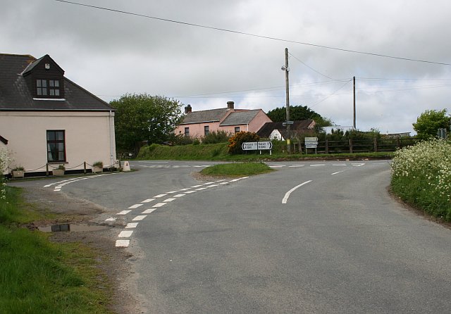
Carne Common Images

Images are sourced within 2km of 50.163876/-5.2788115 or Grid Reference SW6534. Thanks to Geograph Open Source API. All images are credited.

St Crewenna's Church
Old Milestone by the B3297 in Burras Carved stone post by the B3297, in parish of Wendron (Kerrier District), Burhos, Burras village green, beside clapper bridge, on West side of road. Erected by the Local Highways Board in the 19th century. 

Inscription reads:-
REDRUTH / 5 / MILES : : HELSTON / 5 / MILES 

Grade II Listed. List Entry Number: 1142022
<span class="nowrap"><a title="https://historicengland.org.uk/listing/the-list/list-entry/1142022" rel="nofollow ugc noopener" href="https://historicengland.org.uk/listing/the-list/list-entry/1142022">Link</a><img style="margin-left:2px;" alt="External link" title="External link - shift click to open in new window" src="https://s1.geograph.org.uk/img/external.png" width="10" height="10"/></span>

Milestone Society National ID: CW_RRHL05
Old Milestone by the B3297 in Burras
Carved stone post by the B3297, in parish of Wendron (Kerrier District), Burhos, Burras village green, beside clapper bridge, on West side of road. Erected by the Local Highways Board in the 19th century. Inscription reads:- REDRUTH / 5 / MILES : : HELSTON / 5 / MILES Grade II Listed. List Entry Number: 1142022 LinkExternal link Milestone Society National ID: CW_RRHL05
The Church at Crowan
Rolling Pastures A landscape of shallow valleys and rounded hills.
Rolling Pastures
A landscape of shallow valleys and rounded hills.
Across the Valley below Releath
Farm Buildings at Releath Releath is a small farm-based hamlet.
Farm Buildings at Releath
Releath is a small farm-based hamlet.
Pasture and Heathland across the Valley Taken from near Higher Releath and looking across the square towards Boquio Farm.
Pasture and Heathland across the Valley
Taken from near Higher Releath and looking across the square towards Boquio Farm.
Farmland and Heathland The heathland in the distance at the western edge of this square marks an old mining area.  Most of the rest of the square is pasture land.
Farmland and Heathland
The heathland in the distance at the western edge of this square marks an old mining area. Most of the rest of the square is pasture land.
Pasture and Carn Meor Farm
Southern Slope of Crowan Beacon Pasture land gives way to heathland where the granite boulders become too large and numerous on the higher hills.
Southern Slope of Crowan Beacon
Pasture land gives way to heathland where the granite boulders become too large and numerous on the higher hills.
Road Junction near Blackrock Farm There is a small scattering of houses and a couple of farms here.
Road Junction near Blackrock Farm
There is a small scattering of houses and a couple of farms here.
Cargenwen Looking diagonally across the square from the southeast corner.
Cargenwen
Looking diagonally across the square from the southeast corner.
Road Junction and Crowan Beacon This shot looks up to the edge of the heathland at the summit of Crowan Beacon.
Road Junction and Crowan Beacon
This shot looks up to the edge of the heathland at the summit of Crowan Beacon.
Gate and Fields This double gate is the start of a bridlepath which leads from the road out over this patchwork of pasture fields.  The gates allow horses to be taken on the bridlepath without letting out any stock which might be in the fields.
Gate and Fields
This double gate is the start of a bridlepath which leads from the road out over this patchwork of pasture fields. The gates allow horses to be taken on the bridlepath without letting out any stock which might be in the fields.
Polcrebo Downs Chimney of old mine, probably Crowan and Wendron mine (also known as Wheal Releath).
Polcrebo Downs
Chimney of old mine, probably Crowan and Wendron mine (also known as Wheal Releath).
Burras
Burras
Burras Methodist Church
Burras Methodist chapel The C19 chapel seen across the River Cober, which flows (to the left) under this interesting footbridge.
Burras Methodist chapel
The C19 chapel seen across the River Cober, which flows (to the left) under this interesting footbridge.
Show me another place!

Carne Common is located at Grid Ref: SW6534 (Lat: 50.163876, Lng: -5.2788115)

Unitary Authority: Cornwall

Police Authority: Devon and Cornwall

What 3 Words

///bless.canny.decimals. Near Wendron, Cornwall

Nearby Locations

Carne Common

Related Wikis

Bolitho, Cornwall

Bolitho ( bÉ™-LY-thoh, Cornish: Bosleythow) is a village in west Cornwall, and a Cornish surname. The Bolitho Family own large estates in west Cornwall...

Crowan

Crowan (Cornish: Egloskrewen (village) or Pluw Grewen (parish)) is a village and civil parish in Cornwall, England, United Kingdom. It is about three-and...

Releath

Releath (Cornish: Reslegh) is a hamlet southwest of Burras in west Cornwall, England. == References ==

Boquio

Boquio is a small upland area south of Bolitho in west Cornwall, United Kingdom. It is situated approximately halfway between Praze-an-Beeble and Wendron...

Nearby Amenities

Located within 500m of 50.163876,-5.2788115
Bus Stop
Black Rock Farm
Naptan AtcoCode: 0800FWX38523
Naptan Bearing: NE
Naptan CommonName: Black Rock Farm
Naptan Indicator: Opp
Naptan NaptanCode: corajtpt
Naptan Street: B3280
Naptan Verified: no
Shelter: no
Source: naptan_import
Lat/Long: 50.1681144/-5.2767966
Power: pole
Source: bing
Lat/Long: 50.16564/-5.2819388
Power: pole
Source: bing
Lat/Long: 50.1659128/-5.2817644
Power: pole
Source: bing
Lat/Long: 50.1662513/-5.2815592
Power: pole
Source: bing
Lat/Long: 50.1679668/-5.2809443
Power: pole
Source: bing
Lat/Long: 50.1671833/-5.281232
Post Box
Brand: Royal Mail
Brand Wikidata: Q638098
Collection Times: Mo-Fr 16:30; Sa 10:00; Su off
Drive Through: no
Operator: Royal Mail
Operator Wikidata: Q638098
Post Box Mounting: pier
Post Box Type: lamp
Ref: TR14 112
Royal Cypher: EIIR
Royal Cypher Wikidata: Q33102113
Source: survey;streetlevel imagery;aerial imagery
Lat/Long: 50.1677214/-5.2771847
The data included in this document is from www.openstreetmap.org. The data is made available under ODbL.

Have you been to Carne Common?

Leave your review of Carne Common below (or comments, questions and feedback).