Grove Place
Settlement in Yorkshire
England
Grove Place

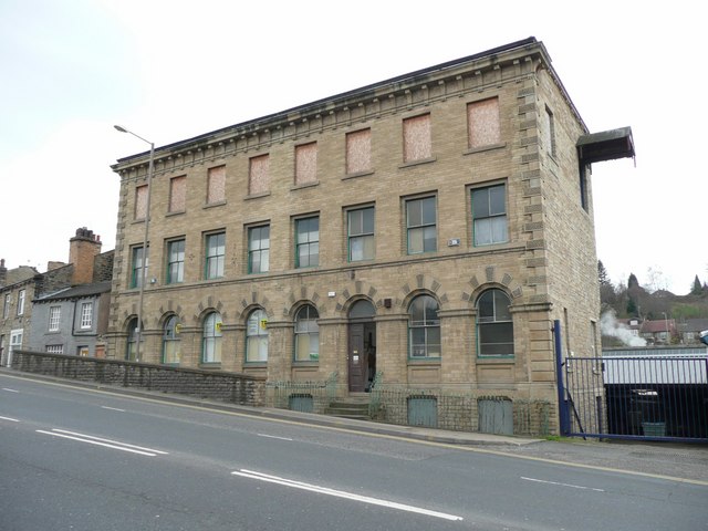
Grove Place is a quaint village located in the heart of Yorkshire, England. Situated amidst rolling hills and lush greenery, the village is known for its picturesque surroundings and peaceful atmosphere. The village is home to a small community of residents who take pride in maintaining its traditional charm and character.
Grove Place boasts a number of historic buildings, including a charming parish church dating back to the 12th century. The village also features a handful of local shops, a cozy pub, and a village hall where community events and gatherings take place.
The surrounding countryside offers ample opportunities for outdoor activities such as hiking, cycling, and birdwatching. The nearby Yorkshire Dales National Park is just a short drive away, providing even more opportunities for exploration and adventure.
Overall, Grove Place is a charming and idyllic village that offers a peaceful retreat from the hustle and bustle of city life. Visitors to the village can expect a warm welcome from the friendly locals and a chance to experience the beauty of rural Yorkshire at its finest.
If you have any feedback on the listing, please let us know in the comments section below.
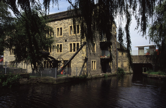
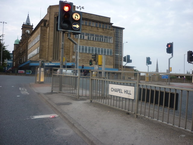
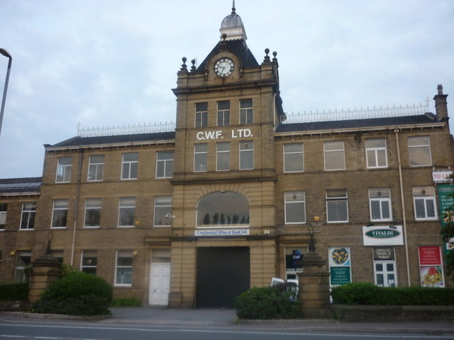
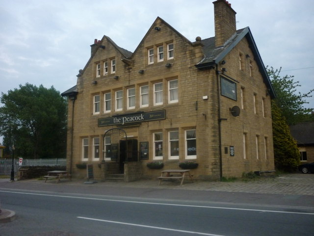
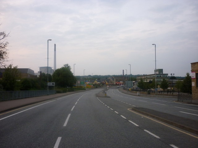
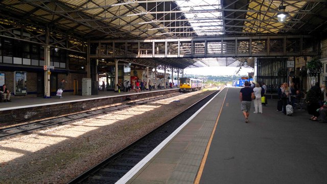
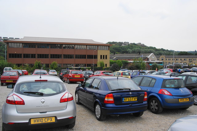
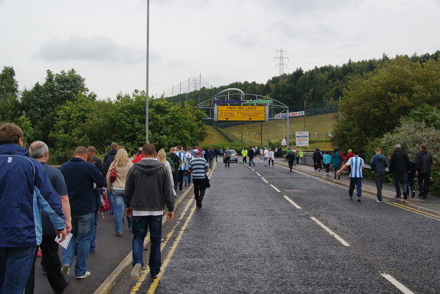
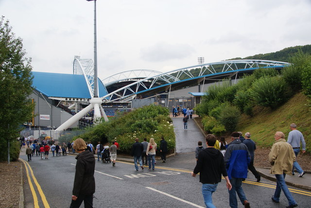
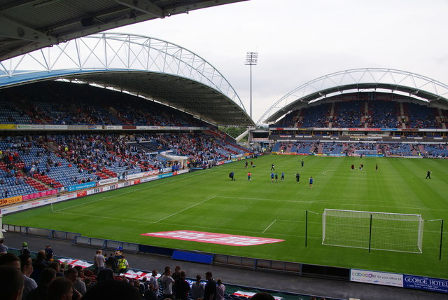
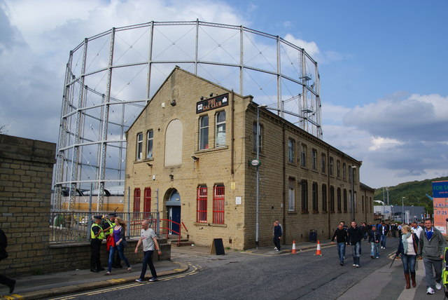
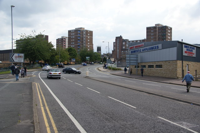
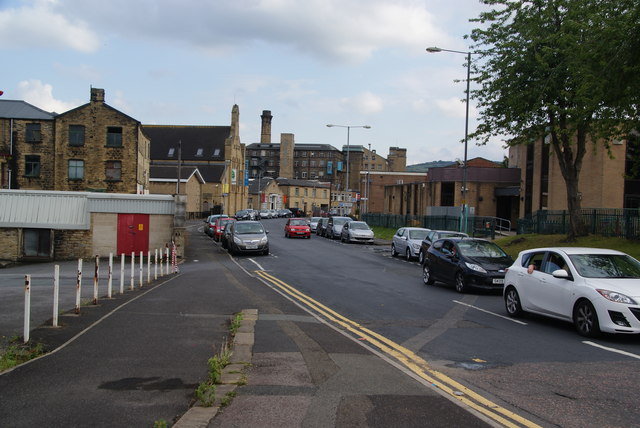
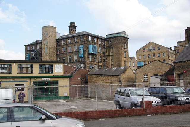
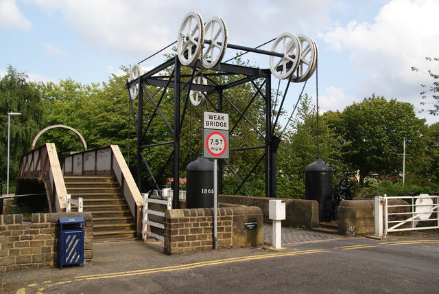
Grove Place Images
Images are sourced within 2km of 53.648354/-1.757914 or Grid Reference SE1616. Thanks to Geograph Open Source API. All images are credited.


Grove Place is located at Grid Ref: SE1616 (Lat: 53.648354, Lng: -1.757914)
Division: West Riding
Unitary Authority: Kirklees
Police Authority: West Yorkshire
What 3 Words
///heap.grass.wages. Near Huddersfield, West Yorkshire
Nearby Locations
Related Wikis
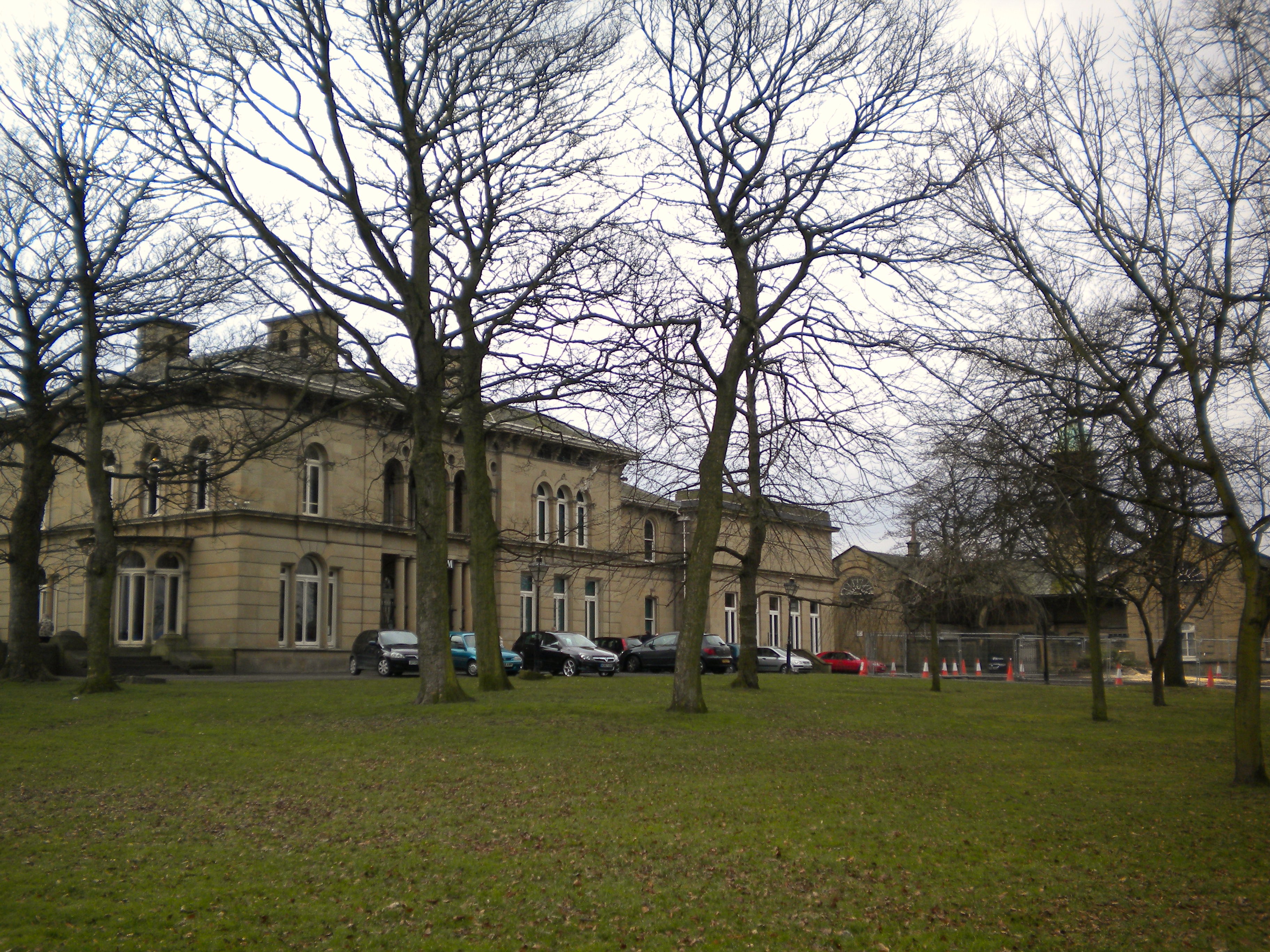
Tolson Museum
The Tolson Memorial Museum, also known as Tolson Museum, is housed in Ravensknowle Hall, a Victorian mansion in Ravensknowle Park on Wakefield Road in...
Moldgreen
Moldgreen is a district of Huddersfield, West Yorkshire in England, approximately one mile (1.5 km) east of the town centre between Dalton and Aspley....

Creative and Media Studio School
The Creative & Media Studio School is a studio school located at the Netherhall Learning Campus in Huddersfield, in the English county of West Yorkshire...
Netherhall Learning Campus
Netherhall Learning Campus is a federation of 4 schools which share the same campus in Rawthorpe, Huddersfield, England. The federation was formed in 2008...
Nearby Amenities
Located within 500m of 53.648354,-1.757914Have you been to Grove Place?
Leave your review of Grove Place below (or comments, questions and feedback).