Grove

Settlement in Kent Canterbury

England

Grove

Preston Grange, Grove Road This was the same house at <a href="https://www.geograph.org.uk/photo/6419495">TR2461 : Preston Grange, Grove Road</a> before its construction has been completed. Preston Grange is the name, which has been given to the development.
Preston Grange, Grove Road Credit: John Baker

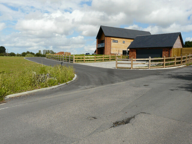
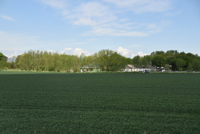
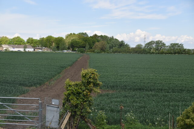
Grove is a small village located in the county of Kent, England. Situated approximately 12 miles southeast of the bustling city of Maidstone, Grove offers a peaceful and rural atmosphere, surrounded by picturesque countryside and charming landscapes.

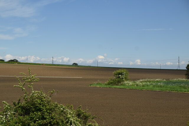
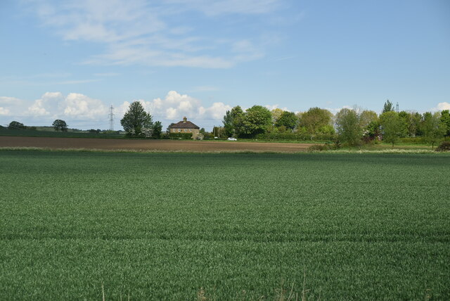
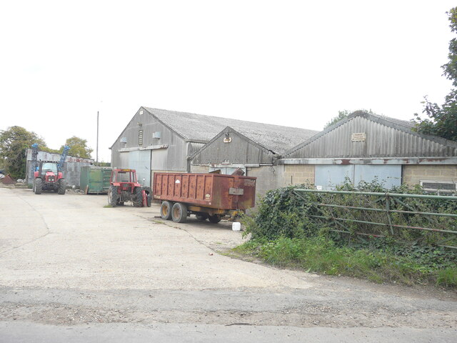
The village is home to a tight-knit community, with a population of around 500 residents. The local economy primarily relies on agriculture, with several farms and fields dotting the area. The village's idyllic setting attracts visitors who seek to escape the hustle and bustle of city life and enjoy the tranquility of the countryside.

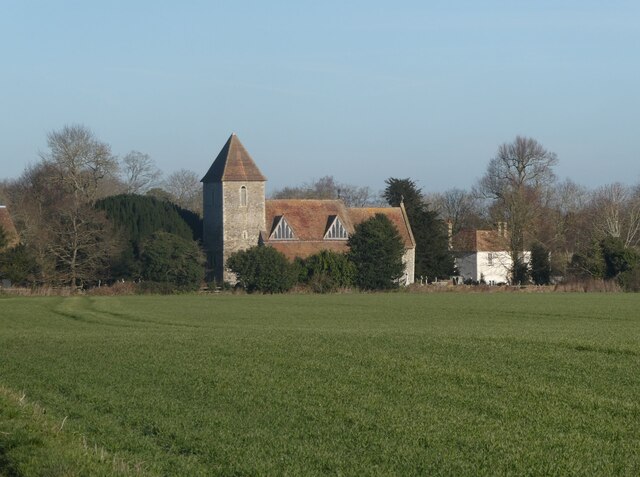
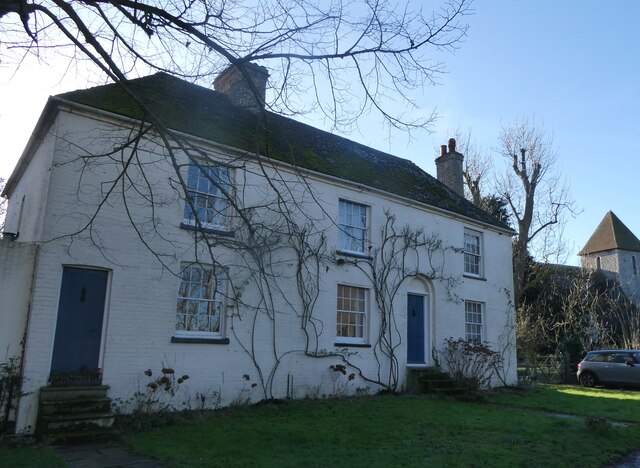
Grove boasts a range of quaint and historic buildings, including an ancient church that dates back to the 12th century. The church's architecture is a testament to the village's rich heritage and provides an insight into its past.

Despite its small size, Grove offers a few essential amenities to its residents, including a local pub, a village hall, and a post office. Additionally, a primary school caters to the educational needs of the village's children.

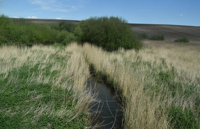
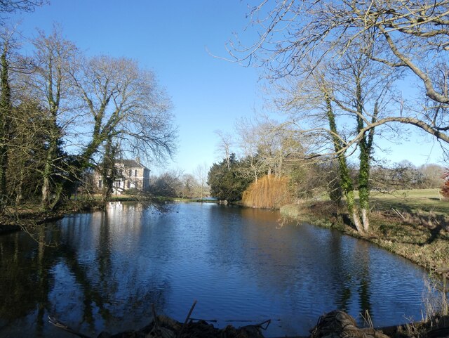
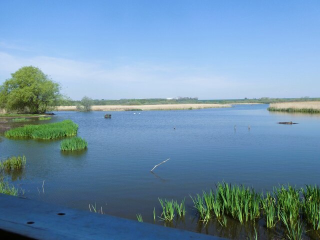
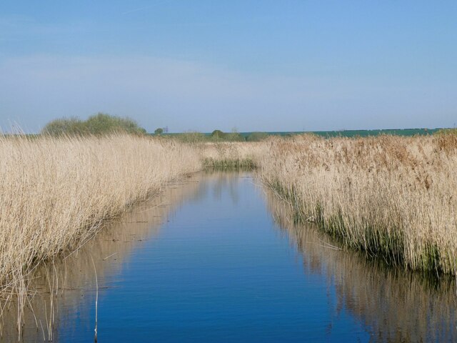
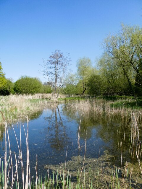
The village's proximity to the Kent Downs, an Area of Outstanding Natural Beauty, makes it an ideal location for outdoor enthusiasts. Residents and visitors can enjoy leisurely walks, cycling, or even horse riding, taking advantage of the beautiful surroundings.

Overall, Grove, Kent presents an opportunity to experience a quaint and rural lifestyle, while still being within easy reach of nearby towns and cities. It offers a peaceful retreat for those seeking a slower pace of life, surrounded by stunning natural beauty.

If you have any feedback on the listing, please let us know in the comments section below.

Grove Images

Images are sourced within 2km of 51.313425/1.211468 or Grid Reference TR2362. Thanks to Geograph Open Source API. All images are credited.

Preston Grange, Grove Road This was the same house at <a href="https://www.geograph.org.uk/photo/6419495">TR2461 : Preston Grange, Grove Road</a> before its construction has been completed. Preston Grange is the name, which has been given to the development.
Preston Grange, Grove Road
This was the same house at TR2461 : Preston Grange, Grove Road before its construction has been completed. Preston Grange is the name, which has been given to the development.
Drainage channel
Drainage channel
Farmland in Stour Valley
Arable fields
Arable fields
Wall End Farm
Wall End Farm
Footpath crossing field
St. Mildred's Church, Preston Viewed from the track south of the church and Preston Court. Grade I listed, early 13th century, remodelled and extended in the 14th century and restored in 1857 by William White.
St. Mildred's Church, Preston
Viewed from the track south of the church and Preston Court. Grade I listed, early 13th century, remodelled and extended in the 14th century and restored in 1857 by William White.
Old steam engine on Preston Court Farm There used to be a summer steam rally here but it looks as if the engines are no longer looked after.
Old steam engine on Preston Court Farm
There used to be a summer steam rally here but it looks as if the engines are no longer looked after.
Old steam engine on Preston Court Farm There used to be a summer steam rally here but it looks as if the engines are no longer looked after.
Old steam engine on Preston Court Farm
There used to be a summer steam rally here but it looks as if the engines are no longer looked after.
Entrance to Preston Court Farm
Cottages next to Preston Court Farm St Mildred's Church is in the background.
Cottages next to Preston Court Farm
St Mildred's Church is in the background.
Lake, Preston Court Preston Court is an early 19th century Grade II listed building.
Lake, Preston Court
Preston Court is an early 19th century Grade II listed building.
Stodmarsh National Nature Reserve View from Reedbed Hide on the south side of the reserve.
Stodmarsh National Nature Reserve
View from Reedbed Hide on the south side of the reserve.
Stodmarsh National Nature Reserve View from the footpath of one of the drainage ditches through the reedbeds.
Stodmarsh National Nature Reserve
View from the footpath of one of the drainage ditches through the reedbeds.
Stodmarsh National Nature reserve Dandelions and peacock butterfly by one of the footpaths.
Stodmarsh National Nature reserve
Dandelions and peacock butterfly by one of the footpaths.
Stodmarsh National Nature Reserve Southern end of a lake in the reserve.
Stodmarsh National Nature Reserve
Southern end of a lake in the reserve.
New House Farm, Church Lane Planning permission has been approved by Dover District Council under application number DOV/ 21/00377 for the “erection of 2 detached dwellings and the conversion of barn to 1 residential dwelling with associated gardens and parking (existing agricultural buildings to be demolished)“.
New House Farm, Church Lane
Planning permission has been approved by Dover District Council under application number DOV/ 21/00377 for the “erection of 2 detached dwellings and the conversion of barn to 1 residential dwelling with associated gardens and parking (existing agricultural buildings to be demolished)“.
The Street A house has been constructed next to <a href="https://www.geograph.org.uk/photo/6420439">TR2460 : Colindale, The Street</a> but, as yet, it remains unfinished.
The Street
A house has been constructed next to TR2460 : Colindale, The Street but, as yet, it remains unfinished.
Show me another place!

Grove is located at Grid Ref: TR2362 (Lat: 51.313425, Lng: 1.211468)

Administrative County: Kent

District: Canterbury

Police Authority: Kent

What 3 Words

///skyrocket.secrets.motor. Near Wingham, Kent

Nearby Locations

Wickhambreaux Valley Grove

Related Wikis

Grove Ferry Picnic Area

The Grove Ferry Picnic Area is near Upstreet, in Kent, England, on the site of an old hand-drawn ferry that once crossed the River Stour here. The area...

Grove Ferry and Upstreet railway station

Grove Ferry and Upstreet was a railway station in east Kent. It was opened by South Eastern Railway (SER), on the Ashford to Ramsgate (via Canterbury West...

Preston-next-Wingham

Preston or Preston-next-Wingham is a civil parish and village in the valley of the Little Stour in the Dover District of Kent, England. The village is...

Upstreet

Upstreet is a village in the civil parish of Chislet in Kent, England. It is in the local government district of Canterbury, and the electoral ward of...

Nearby Amenities

Located within 500m of 51.313425,1.211468
Post Box
Collection Times: Mo-Fr 09:00; Sa 07:00
Operator: Royal Mail
Operator Wikidata: Q638098
Post Box Type: wall
Postal Code: CT3
Ref: CT3 80
Royal Cypher: EIIR
Royal Cypher Wikidata: Q33102113
Lat/Long: 51.3136959/1.2107316
Barrier: kissing_gate
Lat/Long: 51.3143904/1.2072585
Barrier: stile
Bicycle: no
Foot: yes
Horse: no
Material: wood
Motor Vehicle: no
Stile: stepover
Lat/Long: 51.3134199/1.2160132
Grove
Place: hamlet
Source: OS_OpenMap_Local_April_2020
Lat/Long: 51.3134873/1.2102127
The Clock House
Tourism: chalet
Lat/Long: 51.3101541/1.2072958
The data included in this document is from www.openstreetmap.org. The data is made available under ODbL.

Have you been to Grove?

Leave your review of Grove below (or comments, questions and feedback).