Kilcock Cliff
Cliff, Slope in Suffolk East Suffolk
England
Kilcock Cliff
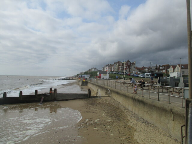
Kilcock Cliff is a prominent natural landform located in Suffolk, England. It is situated on the eastern coast of the country, overlooking the North Sea. This cliff is known for its picturesque beauty and geological significance.
Rising to a height of approximately 50 meters (164 feet), Kilcock Cliff offers stunning panoramic views of the surrounding landscape. The cliff is composed of layers of sedimentary rocks, primarily consisting of sandstone and clay. These rock formations have been shaped over millions of years by erosion caused by wind, water, and the constant pounding of the sea.
The cliff face is characterized by its sheer and rugged appearance, with intricate patterns and textures formed by weathering. The exposed layers of rock provide valuable insights into the geological history of the region, offering evidence of ancient environments and past geological events.
Kilcock Cliff is also a significant habitat for various bird species, including gulls, cormorants, and fulmars. The cliff's steep slopes and ledges provide ideal nesting sites and shelter for these avian creatures. Birdwatching enthusiasts often visit the area to observe the diverse range of species that inhabit the cliff.
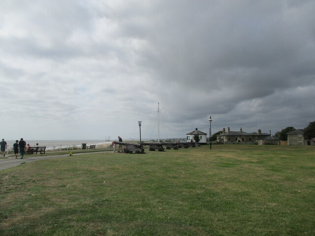
Visitors to Kilcock Cliff can enjoy walks along the cliff top, taking in the breathtaking scenery and the crashing waves below. The area is also popular for rock climbing, with climbers attracted to the challenging routes and stunning vistas.
Overall, Kilcock Cliff in Suffolk is a remarkable natural feature, offering a combination of geological interest, diverse wildlife, and awe-inspiring views, making it a must-visit destination for nature lovers and outdoor enthusiasts.
If you have any feedback on the listing, please let us know in the comments section below.
Kilcock Cliff Images
Images are sourced within 2km of 52.328155/1.683298 or Grid Reference TM5176. Thanks to Geograph Open Source API. All images are credited.


Kilcock Cliff is located at Grid Ref: TM5176 (Lat: 52.328155, Lng: 1.683298)
Administrative County: Suffolk
District: East Suffolk
Police Authority: Suffolk
What 3 Words
///expel.loaders.drifters. Near Southwold, Suffolk
Nearby Locations
Related Wikis

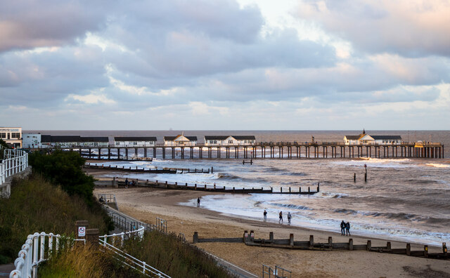
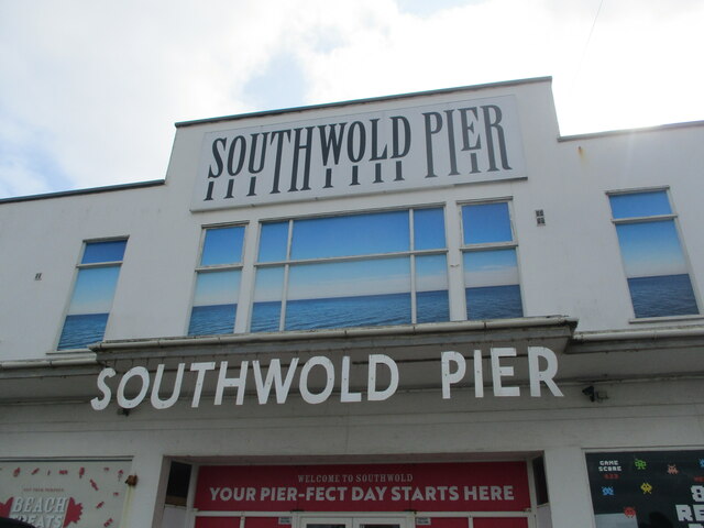
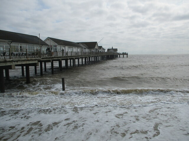
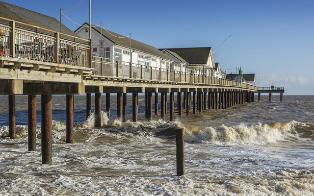
Southwold Pier
Southwold Pier is a pier in the coastal town of Southwold in the English county of Suffolk. It is on the northern edge of the town and extends 190 metres...

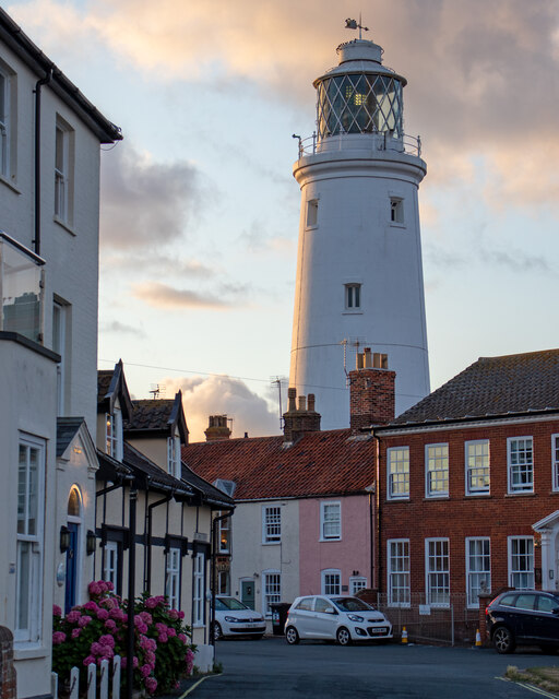
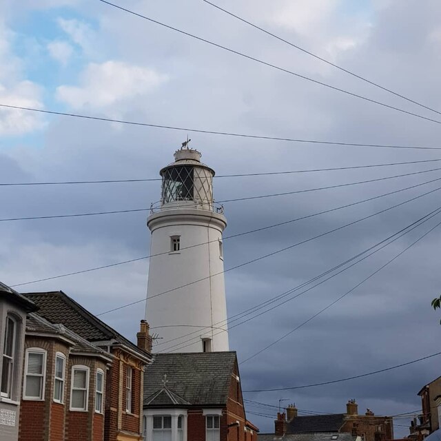
Southwold Lighthouse
Southwold Lighthouse is a lighthouse operated by Trinity House in the centre of Southwold in Suffolk, England. It stands on the North Sea coast, acting...
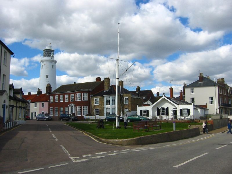
Southwold
Southwold is a seaside town on the North Sea in Suffolk, England. It lies at the mouth of the River Blyth in the Suffolk Coast and Heaths Area of Outstanding...

Adnams
Adnams is a regional brewery founded in 1872 in Southwold, Suffolk, England, by George and Ernest Adnams. It produces cask ale and bottled beers. Annual...
Nearby Amenities
Located within 500m of 52.328155,1.683298Have you been to Kilcock Cliff?
Leave your review of Kilcock Cliff below (or comments, questions and feedback).