Paddle Boat Pond
Lake, Pool, Pond, Freshwater Marsh in Suffolk East Suffolk
England
Paddle Boat Pond
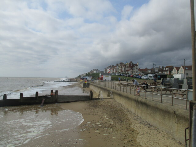
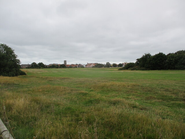
Paddle Boat Pond, located in Suffolk County, is a serene and picturesque freshwater body encompassing an area of approximately 10 acres. Nestled amidst the lush greenery and rolling hills of the region, this idyllic pond offers a range of recreational activities for visitors of all ages.
The pond is popular for its paddle boat rentals, allowing visitors to explore the tranquil waters at their own pace. The paddle boats, which can accommodate multiple riders, provide a fun and family-friendly way to enjoy the pond's beauty. As the paddlers navigate through the crystal-clear water, they can observe the diverse aquatic life and vibrant plant species that call the pond home.
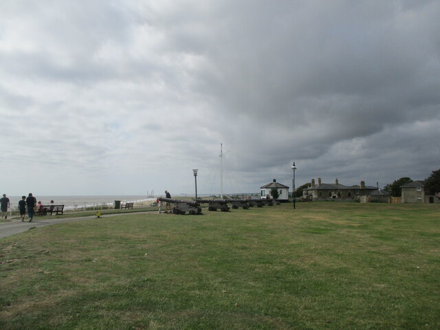
Surrounding the pond, a well-maintained walking path offers a peaceful stroll along the water's edge. Nature enthusiasts can take advantage of this trail to observe the resident bird population, including ducks, geese, and various species of songbirds. Additionally, the pond is home to a variety of fish, making it a favorite spot for anglers seeking a quiet and rewarding fishing experience.
Paddle Boat Pond also features a designated swimming area, allowing visitors to cool off and enjoy a refreshing dip during the warm summer months. Lifeguards are present to ensure the safety of swimmers, and the pond is regularly monitored to maintain water quality and cleanliness.
Overall, Paddle Boat Pond offers a delightful escape from the hustle and bustle of daily life. With its scenic beauty, recreational activities, and abundant wildlife, it is a true gem for nature lovers and outdoor enthusiasts in Suffolk County.
If you have any feedback on the listing, please let us know in the comments section below.
Paddle Boat Pond Images
Images are sourced within 2km of 52.331906/1.6847405 or Grid Reference TM5176. Thanks to Geograph Open Source API. All images are credited.


Paddle Boat Pond is located at Grid Ref: TM5176 (Lat: 52.331906, Lng: 1.6847405)
Administrative County: Suffolk
District: East Suffolk
Police Authority: Suffolk
What 3 Words
///speeded.rectangular.jacket. Near Southwold, Suffolk
Nearby Locations
Related Wikis

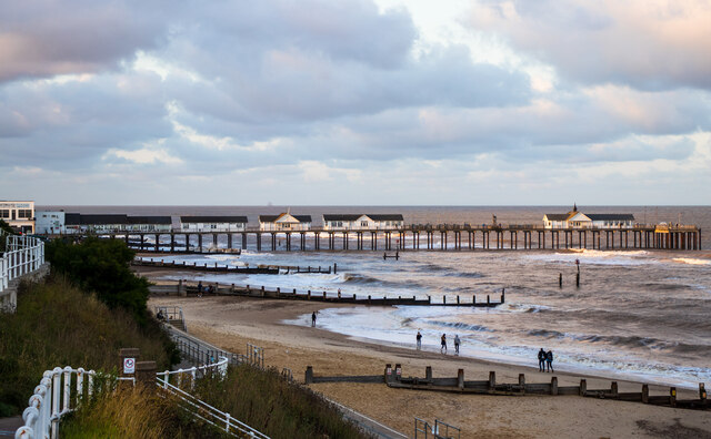
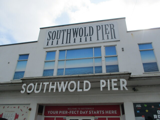
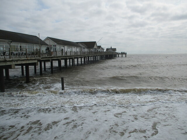
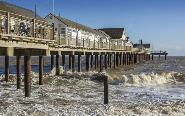
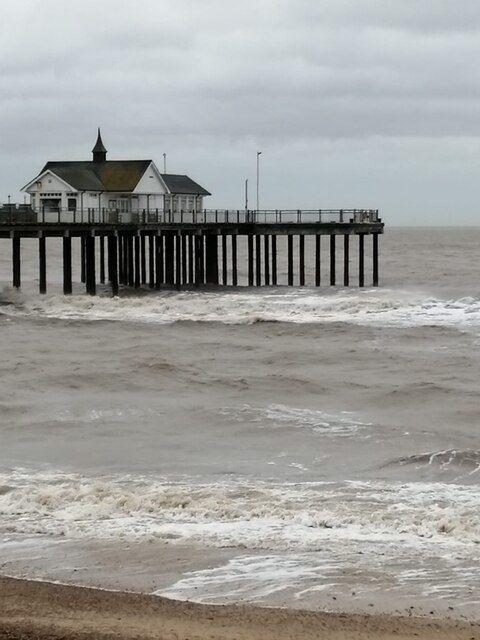
Southwold Pier
Southwold Pier is a pier in the coastal town of Southwold in the English county of Suffolk. It is on the northern edge of the town and extends 190 metres...

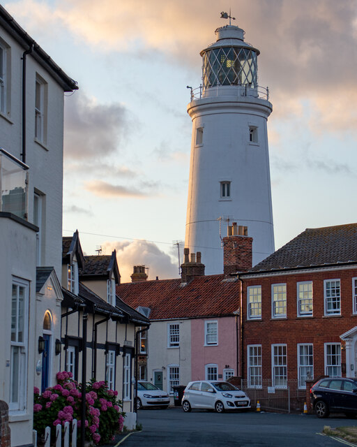
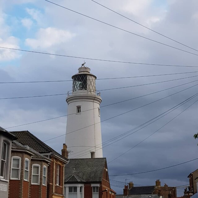
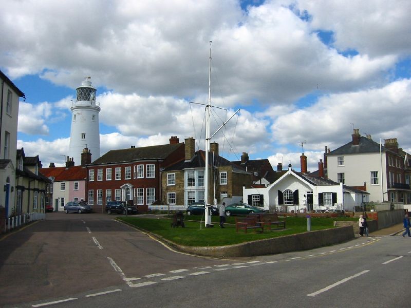
Southwold Lighthouse
Southwold Lighthouse is a lighthouse operated by Trinity House in the centre of Southwold in Suffolk, England. It stands on the North Sea coast, acting...

St Edmund's Church, Southwold
St Edmund's Church, Southwold is a Grade I listed parish church in the Church of England in Southwold, Suffolk. == History == The parish church of Southwold...

Adnams
Adnams is a regional brewery founded in 1872 in Southwold, Suffolk, England, by George and Ernest Adnams. It produces cask ale and bottled beers. Annual...
Southwold
Southwold is a seaside town on the North Sea in Suffolk, England. It lies at the mouth of the River Blyth in the Suffolk Coast and Heaths Area of Outstanding...
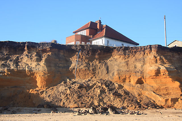
Easton Bavents
Easton Bavents is a hamlet and former civil parish, now in the parish of Reydon, in the East Suffolk district of the county of Suffolk, England. Once an...
Southwold railway station
Southwold railway station was located in Southwold, Suffolk. It closed in 1929, 50 years after it had opened for passenger traffic. The station was demolished...
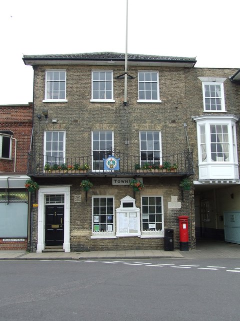
Southwold Town Hall
Southwold Town Hall is a municipal building in the Market Place in Southwold, Suffolk, England. The building, which is the meeting place of Southwold Town...
Nearby Amenities
Located within 500m of 52.331906,1.6847405Have you been to Paddle Boat Pond?
Leave your review of Paddle Boat Pond below (or comments, questions and feedback).