The Cliff
Cliff, Slope in Essex Maldon
England
The Cliff

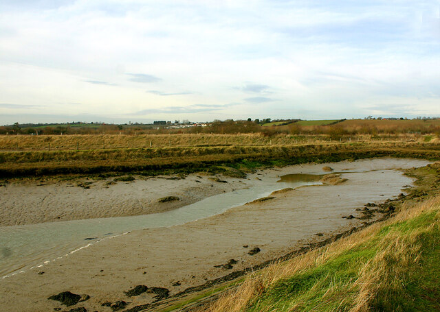
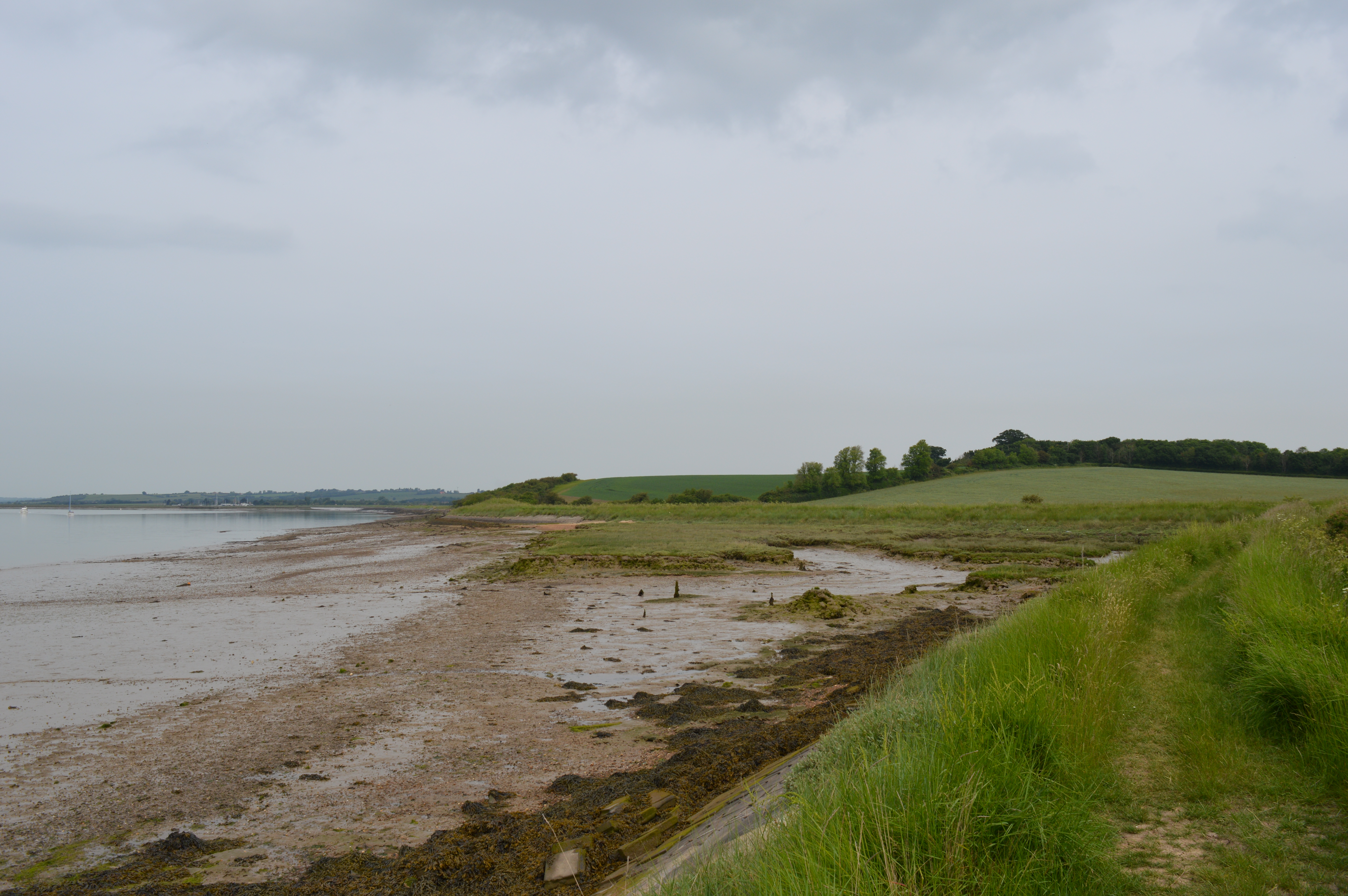
The Cliff, located in Essex, England, is a prominent geological formation that stretches along the eastern coast of the county. This natural landmark is part of the larger coastal erosion process that has been shaping the region for thousands of years. The Cliff is a steep slope that drops down from the coastal plain into the North Sea, creating a striking visual contrast against the surrounding flat landscape.
The formation of The Cliff can be attributed to a combination of factors, including the erosive action of the sea, weathering, and the underlying geology of the area. Over time, the relentless pounding of the waves against the soft sedimentary rocks has caused the land to crumble and recede, forming the distinctive cliff face that can be observed today.
Standing at an impressive height that varies along the coast, The Cliff offers spectacular views of the sea and the surrounding countryside. Its sheer face reveals layers of different sedimentary rocks, providing valuable insights into the geological history of the area. The exposed cliffs also serve as an important habitat for various plant and animal species, including seabirds that nest in the cliffs' crevices.
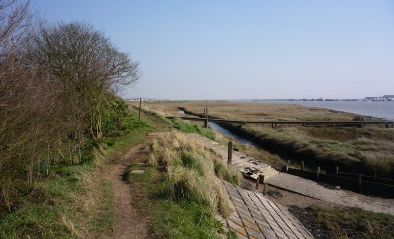
The Cliff is not only a natural wonder but also a popular destination for locals and tourists alike. It offers opportunities for hiking, birdwatching, and photography. However, it is important to note that due to ongoing erosion, the stability of The Cliff can be unpredictable, and visitors should exercise caution when exploring the area.
In conclusion, The Cliff in Essex is a remarkable geological feature that showcases the power of nature and the ever-changing coastline of Eastern England.
If you have any feedback on the listing, please let us know in the comments section below.
The Cliff Images
Images are sourced within 2km of 51.63745/0.77480446 or Grid Reference TQ9296. Thanks to Geograph Open Source API. All images are credited.


The Cliff is located at Grid Ref: TQ9296 (Lat: 51.63745, Lng: 0.77480446)
Administrative County: Essex
District: Maldon
Police Authority: Essex
What 3 Words
///game.clutter.deranged. Near Althorne, Essex
Nearby Locations
Related Wikis
The Cliff, Burnham-on-Crouch
The Cliff, Burnham-on-Crouch is a 4 hectare geological Site of Special Scientific Interest (SSSI) on the bank of the River Crouch between Burnham-on-Crouch...
Creeksea
Creeksea is a village and former civil parish, now in the parish of Burnham-on-Crouch, in the Maldon district, in the county of Essex, England. It is on...
Creeksea Place
Creeksea Place is located near to the town of Burnham-on-Crouch in the Essex countryside of eastern England. Originally built in 1569, the estate retains...

Ostend, Essex
Ostend is a hamlet in the English county of Essex. It is located about a mile north-west of the town of Burnham-on-Crouch where the population is included...
Burnham Ramblers F.C.
Burnham Ramblers Football Club is a football club based in Burnham-on-Crouch, Essex, England. They are currently members of the Eastern Counties League...
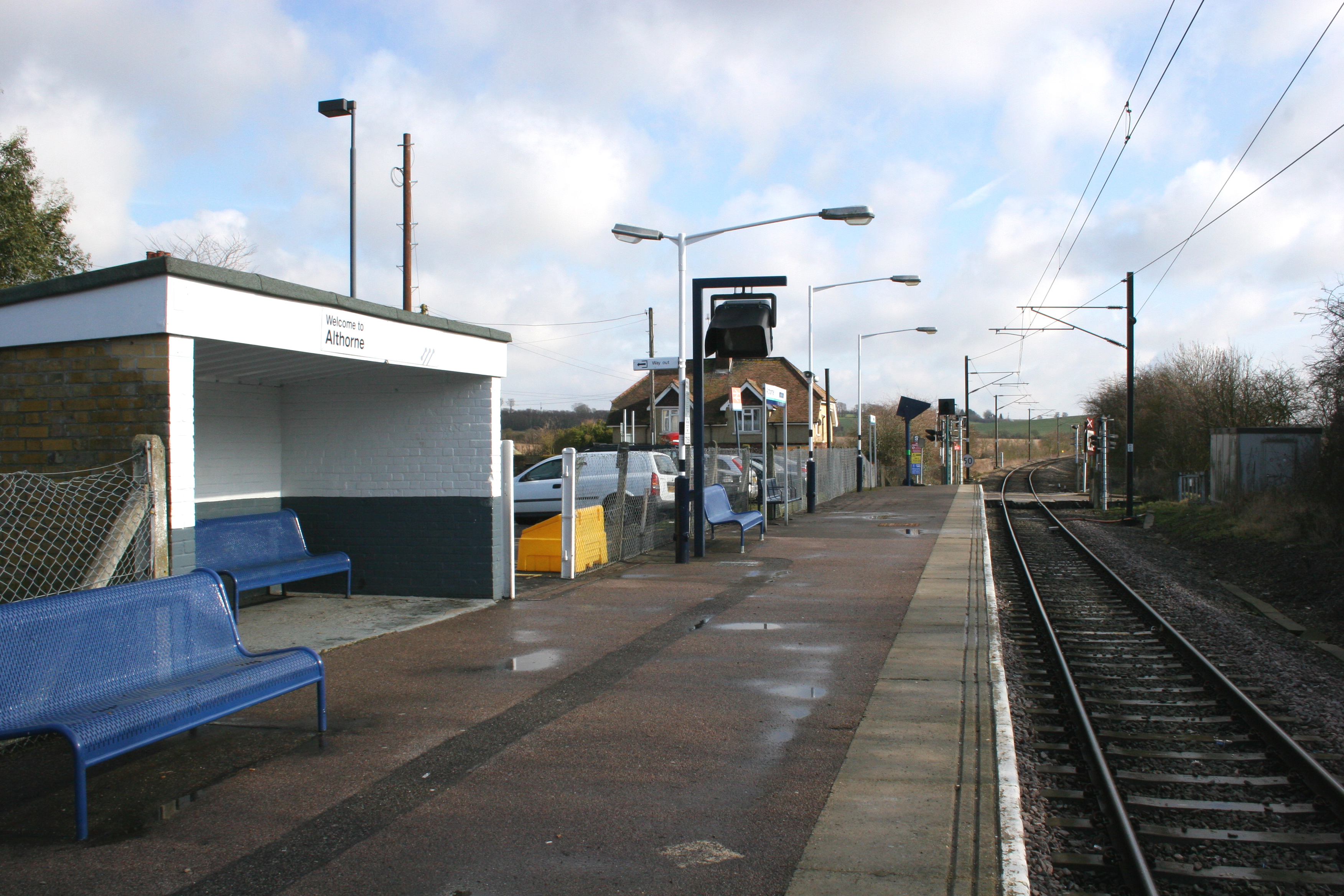
Althorne railway station
Althorne railway station is on the Crouch Valley Line in the East of England, serving the village of Althorne, Essex. It is 40 miles 27 chains (64.92 km...

Lion Creek and Lower Raypits
Lion Creek and Lower Raypits is a 65.2-hectare (161-acre) nature reserve east of Canewdon in Essex. It is part of the Crouch and Roach Estuaries Site of...
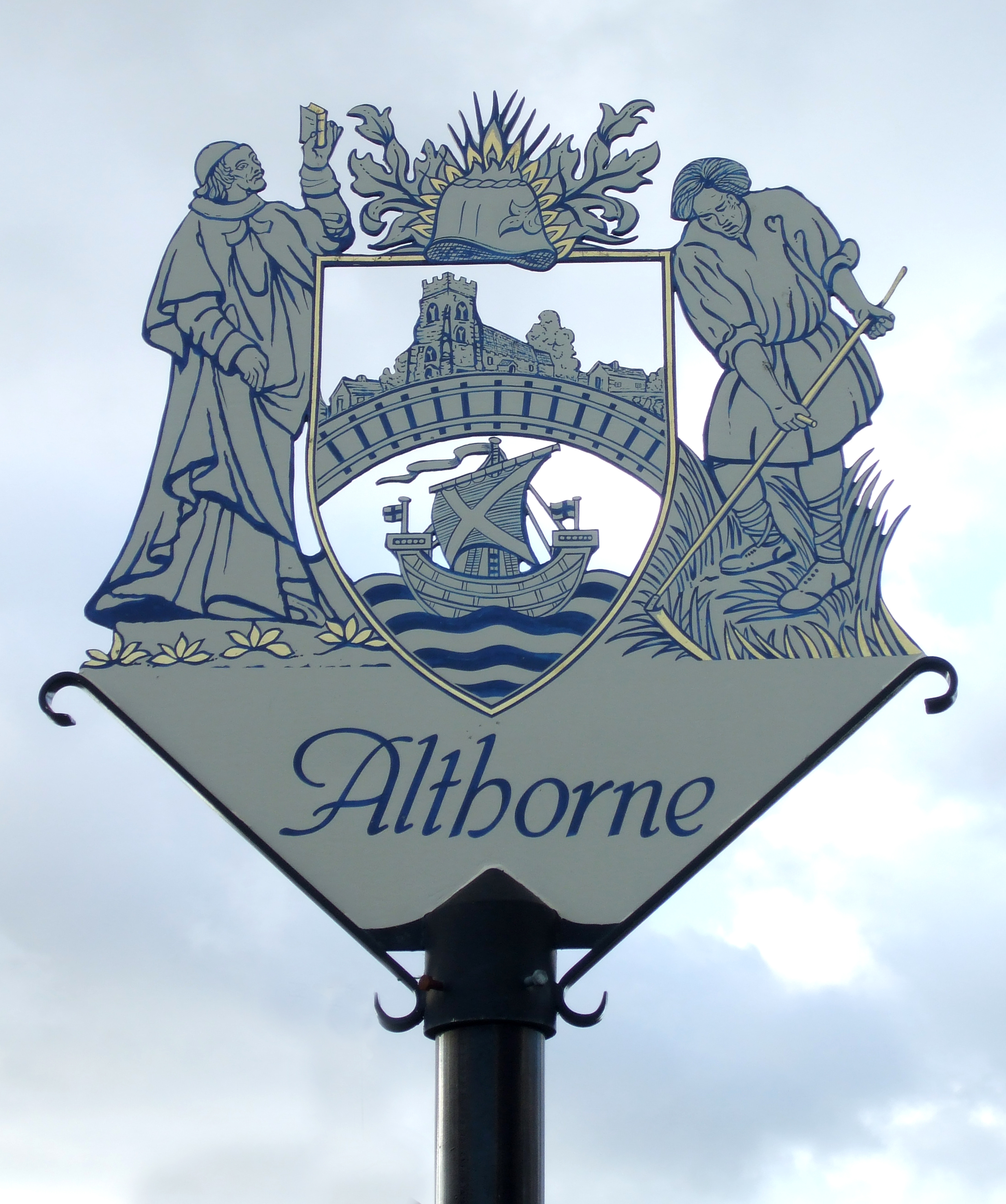
Althorne
Althorne is a village and civil parish in Essex, England. It is located 21 km (13 mi) east-southeast from the county town and city of Chelmsford. The village...
Nearby Amenities
Located within 500m of 51.63745,0.77480446Have you been to The Cliff?
Leave your review of The Cliff below (or comments, questions and feedback).