Groton

Settlement in Suffolk Babergh

England

Groton

Edwardstone village sign Suffolk has 400 villages and towns with village or town signs, give or take one or two. 
The tradition of village signs is believed to have started in Norfolk early in the 20th century when Edward VII suggested that village signs would aid motorists and give a feature of interest on the Sandringham Estate.
Many of the signs  were made by Harry Carter, an art and woodwork master at Hamond’s Grammar School, in Swaffham.
Many have now been replaced with fibreglass or modern plastics. The story behind the sign is given as accurately as possible.
Edwardstone village sign Credit: Bob Mitchell

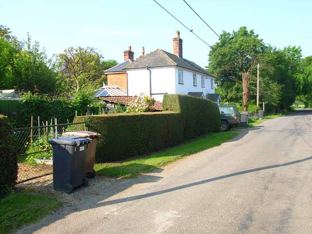
Groton is a small village located in the county of Suffolk, England. Situated approximately 10 miles south of Ipswich, it is part of the Babergh district. With a population of around 1,200 residents, Groton is known for its picturesque countryside and historic charm.

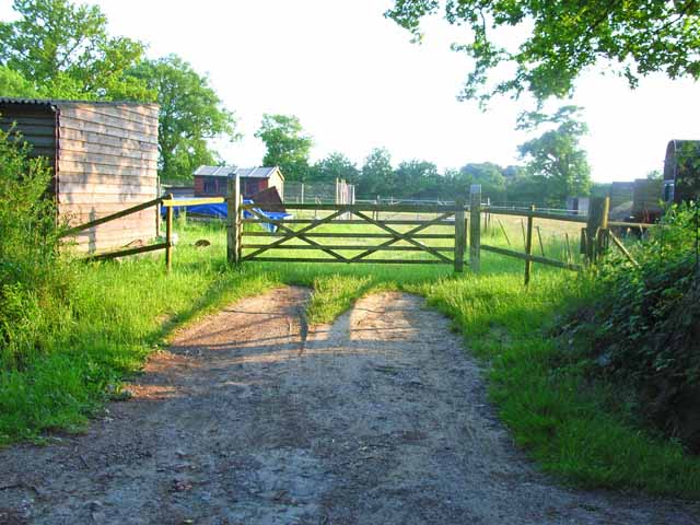
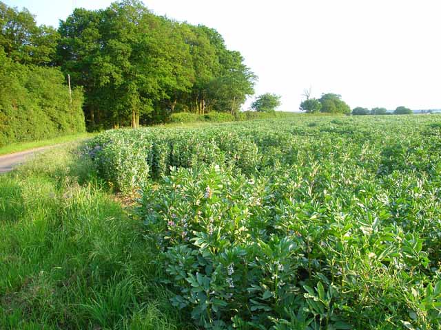
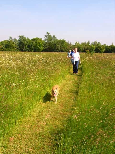
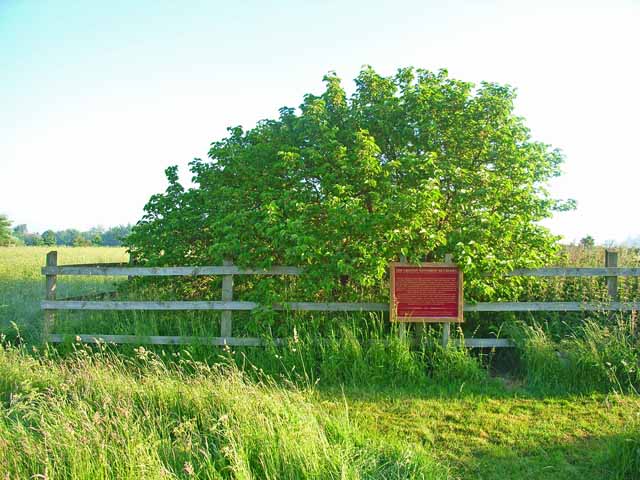
The village is surrounded by beautiful rolling hills, lush meadows, and scenic woodland areas, making it an ideal destination for nature lovers and outdoor enthusiasts. In particular, Groton Woods and the nearby Hadleigh Great Wood offer ample opportunities for walking, hiking, and exploring the local flora and fauna.

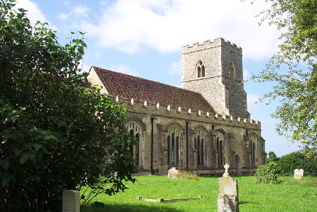
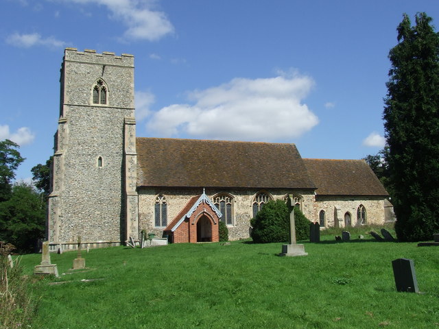
One of Groton's notable landmarks is the St Bartholomew's Church, which dates back to the 15th century. The church features stunning architecture and a quaint churchyard, providing a peaceful spot for reflection. Another prominent feature is the Groton Windmill, a restored 18th-century windmill that serves as a reminder of the village's agricultural heritage.

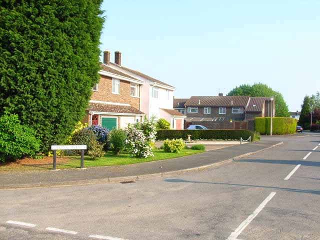
While Groton is primarily a residential village, it benefits from its close proximity to larger towns such as Sudbury and Ipswich, providing residents with easy access to a wider range of amenities, including shops, restaurants, and leisure facilities. The village also has a primary school, offering education for local children.

Throughout the year, Groton hosts various community events and activities, including fairs, festivals, and charity fundraisers, which bring the villagers together and create a strong sense of community spirit.

In summary, Groton is a charming village in Suffolk, England, offering a peaceful and idyllic setting, surrounded by natural beauty and rich in history.

If you have any feedback on the listing, please let us know in the comments section below.

Groton Images

Images are sourced within 2km of 52.040716/0.857533 or Grid Reference TL9641. Thanks to Geograph Open Source API. All images are credited.

Edwardstone village sign Suffolk has 400 villages and towns with village or town signs, give or take one or two. 
The tradition of village signs is believed to have started in Norfolk early in the 20th century when Edward VII suggested that village signs would aid motorists and give a feature of interest on the Sandringham Estate.
Many of the signs  were made by Harry Carter, an art and woodwork master at Hamond’s Grammar School, in Swaffham.
Many have now been replaced with fibreglass or modern plastics. The story behind the sign is given as accurately as possible.
Edwardstone village sign
Suffolk has 400 villages and towns with village or town signs, give or take one or two. The tradition of village signs is believed to have started in Norfolk early in the 20th century when Edward VII suggested that village signs would aid motorists and give a feature of interest on the Sandringham Estate. Many of the signs were made by Harry Carter, an art and woodwork master at Hamond’s Grammar School, in Swaffham. Many have now been replaced with fibreglass or modern plastics. The story behind the sign is given as accurately as possible.
St. Mary the Virgin, Edwardstone
Old Houses in Boxford, Suffolk This row of old timber-framed houses lies immediately west of the parish church.
Old Houses in Boxford, Suffolk
This row of old timber-framed houses lies immediately west of the parish church.
St. Mary's church, Boxford, Suffolk This fine looking perpendicular church sits right in the middle of the village with many old houses around it. The 14th century tower has an interesting 19th century lead spirelet on top. The most interesting feature is the timber-built north porch, which is said to be the earliest of its kind in the county.
St. Mary's church, Boxford, Suffolk
This fine looking perpendicular church sits right in the middle of the village with many old houses around it. The 14th century tower has an interesting 19th century lead spirelet on top. The most interesting feature is the timber-built north porch, which is said to be the earliest of its kind in the county.
Gatehouse to Edwardstone Hall, Suffolk The entrance through this gatehouse leads to the parish church of Edwardstone. The actual Hall has largely been demolished and the church sits in the hall's grounds.
Gatehouse to Edwardstone Hall, Suffolk
The entrance through this gatehouse leads to the parish church of Edwardstone. The actual Hall has largely been demolished and the church sits in the hall's grounds.
Daking Avenue, Boxford Nowadays, even quite small villages seem to have a modern housing estate grafted on.
Daking Avenue, Boxford
Nowadays, even quite small villages seem to have a modern housing estate grafted on.
Mystery structure in Boxford Obviously not bus shelters. Believed to be an old 19th century fire station and gaol.
Mystery structure in Boxford
Obviously not bus shelters. Believed to be an old 19th century fire station and gaol.
Paddock near Groton Various sheds dotted around.
Paddock near Groton
Various sheds dotted around.
Cox Hill in Boxford
Cox Hill in Boxford
Barn at Redhouse Farm, Wicker Street Green
Beanfield at Castling's Heath, near Groton Bean cultivation is widespread in Suffolk.
Beanfield at Castling's Heath, near Groton
Bean cultivation is widespread in Suffolk.
Bin day at Edwardstone
St Bartholomew's Church, Groton John Winthrop worshipped in this church and was married here in 1615. In 1630 he led a group of Puritans across the Atlantic to settle in the New World, and eventually became the first Governor of Massachusetts.
St Bartholomew's Church, Groton
John Winthrop worshipped in this church and was married here in 1615. In 1630 he led a group of Puritans across the Atlantic to settle in the New World, and eventually became the first Governor of Massachusetts.
Groton Village Small green at the centre of Groton village
Groton Village
Small green at the centre of Groton village
Groton Croft Groton Croft is a large area of public meadow, owned by the Groton Winthrop Mulberry Trust. It was purchased in 1993 to protect and preserve the historic mulberry tree <a href="https://www.geograph.org.uk/gridref/TL9542">TL9542</a>
Groton Croft
Groton Croft is a large area of public meadow, owned by the Groton Winthrop Mulberry Trust. It was purchased in 1993 to protect and preserve the historic mulberry tree TL9542
The Groton Winthrop Mulberry Tree This tree is believed to have been planted in about 1550 by Adam Winthrop (1498-1562), grandfather of John Winthrop, the pioneer who in 1630 led a party of Puritans out to establish the first permanent settlement in North America, and subsequently became the first Governor of Massachusetts. The tree and the surrounding meadow (Groton Croft, <a href="https://www.geograph.org.uk/gridref/TL9541">TL9541</a>) are cared for by the Groton Winthrop Mulberry Trust.
The Groton Winthrop Mulberry Tree
This tree is believed to have been planted in about 1550 by Adam Winthrop (1498-1562), grandfather of John Winthrop, the pioneer who in 1630 led a party of Puritans out to establish the first permanent settlement in North America, and subsequently became the first Governor of Massachusetts. The tree and the surrounding meadow (Groton Croft, TL9541) are cared for by the Groton Winthrop Mulberry Trust.
Play area in Edwardstone Millennium Green, Mill Green This is one of the 250 Millennium Greens established in the year 2000 by an initiative of the Countryside Agency and supported by the Millennium Commission. <span class="nowrap"><a title="http://www.qv08.dial.pipex.com/millenniumgreen/index.shtml" rel="nofollow ugc noopener" href="http://www.qv08.dial.pipex.com/millenniumgreen/index.shtml">Link</a><img style="margin-left:2px;" alt="External link" title="External link - shift click to open in new window" src="https://s1.geograph.org.uk/img/external.png" width="10" height="10"/></span> This green includes both open space and a children's playground. The play area is in the hamlet of Mill Green, opposite the White Horse pub.
Play area in Edwardstone Millennium Green, Mill Green
This is one of the 250 Millennium Greens established in the year 2000 by an initiative of the Countryside Agency and supported by the Millennium Commission. LinkExternal link This green includes both open space and a children's playground. The play area is in the hamlet of Mill Green, opposite the White Horse pub.
Leatherfarm Hall, Edwardstone Modelled in the style of the characteristic wooden barns of Suffolk.
Leatherfarm Hall, Edwardstone
Modelled in the style of the characteristic wooden barns of Suffolk.
Show me another place!

Groton is located at Grid Ref: TL9641 (Lat: 52.040716, Lng: 0.857533)

Administrative County: Suffolk

District: Babergh

Police Authority: Suffolk

What 3 Words

///renovated.mocking.hatch. Near Great Waldingfield, Suffolk

Nearby Locations

Groton Horner's Green

Related Wikis

Groton, Suffolk

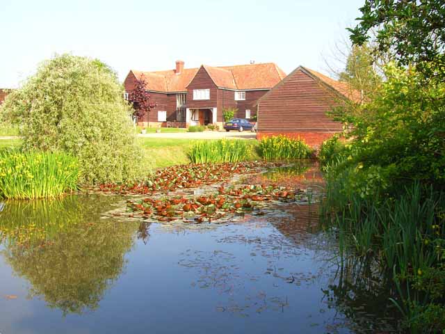
Groton is a village and civil parish in the Babergh district, Suffolk, England, located around a mile north of the A1071 between Hadleigh and Sudbury....

Boxford, Suffolk

Boxford is a village and civil parish in the Babergh district of Suffolk, England. Located around six miles east of Sudbury straddling the River Box and...
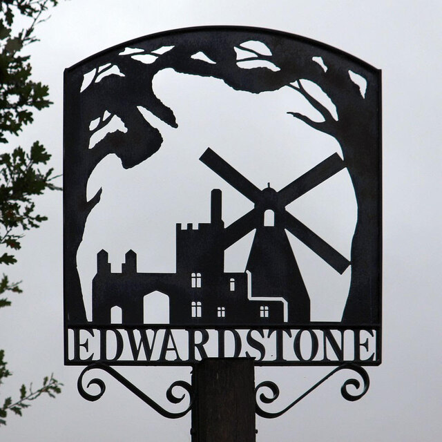
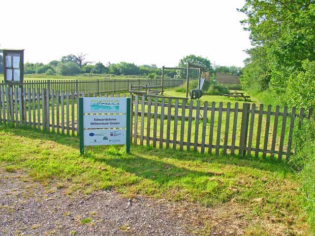
Edwardstone

Edwardstone is a village and civil parish in the Babergh district, in the county of Suffolk, England. The parish contains the hamlets of Mill Green, Priory...

Groton Wood

Groton Wood is a 20.2-hectare (50-acre) biological Site of Special Scientific Interest north-east of Groton in Suffolk. It is owned and managed by the...

Nearby Amenities

Located within 500m of 52.040716,0.857533
Groton
Created By: Potlatch 0.5a
Place: village
Source: npe
Wikidata: Q1514753
Lat/Long: 52.0394482/0.8552061
Bus Stop
Fox and Hounds
Naptan AtcoCode: 390010331
Naptan Bearing: E
Naptan CommonName: Fox and Hounds
Naptan Indicator: adj
Naptan Landmark: Fox and Hounds
Naptan NaptanCode: sufadwpd
Naptan Street: The Street
Naptan Verified: no
Source: naptan_import
Lat/Long: 52.0378642/0.8550221
Bus Stop
Fox and Hounds
Naptan AtcoCode: 390010332
Naptan Bearing: W
Naptan BusStopType: CUS
Naptan CommonName: Fox and Hounds
Naptan Indicator: opp
Naptan Landmark: Fox and Hounds
Naptan NaptanCode: sufadwpg
Naptan Street: The Street
Naptan Verified: no
Source: naptan_import
Lat/Long: 52.0377469/0.8549917
Power: pole
Lat/Long: 52.0371319/0.854627
Power: pole
Lat/Long: 52.0371764/0.8598439
Power: pole
Lat/Long: 52.0371534/0.8562899
Power: pole
Lat/Long: 52.0373893/0.8532698
Power: pole
Lat/Long: 52.0371814/0.8616409
Power: pole
Lat/Long: 52.039259/0.8527489
Power: pole
Lat/Long: 52.0383743/0.8536131
Power: pole
Lat/Long: 52.0372446/0.8540619
Power: pole
Lat/Long: 52.0372764/0.8538506
Power: pole
Lat/Long: 52.0404337/0.8527112
Power: pole
Lat/Long: 52.0371647/0.8580666
Power: pole
Lat/Long: 52.0371996/0.8542977
The data included in this document is from www.openstreetmap.org. The data is made available under ODbL.

Have you been to Groton?

Leave your review of Groton below (or comments, questions and feedback).