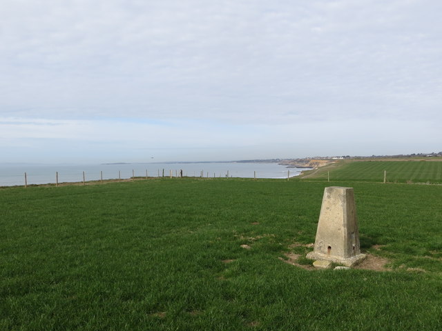
Barton Cliff
Cliff, Slope in Hampshire New Forest
England
Barton Cliff
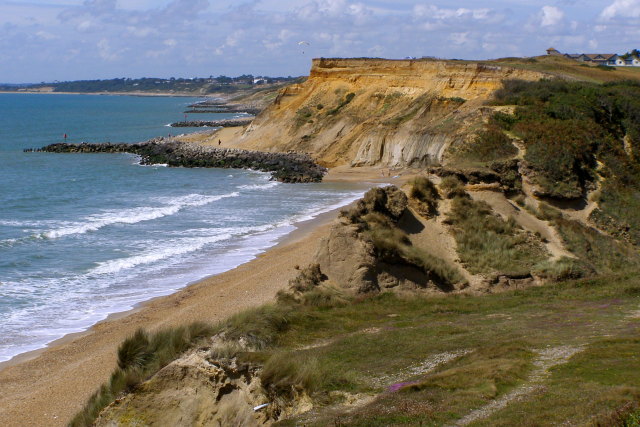
Barton Cliff is a prominent natural feature located in Hampshire, England. It is a cliff and slope formation situated on the coast of the English Channel, near the town of Barton-on-Sea. The cliff is part of the larger Barton Beds geological formation, which stretches along the Hampshire coast.
The cliff is composed mainly of clay, sand, and gravel, with layers dating back millions of years. These layers provide a geological record of the region's history and are of significant scientific interest. Fossil remains, including fragments of ancient marine life, can occasionally be found embedded within the cliff face.
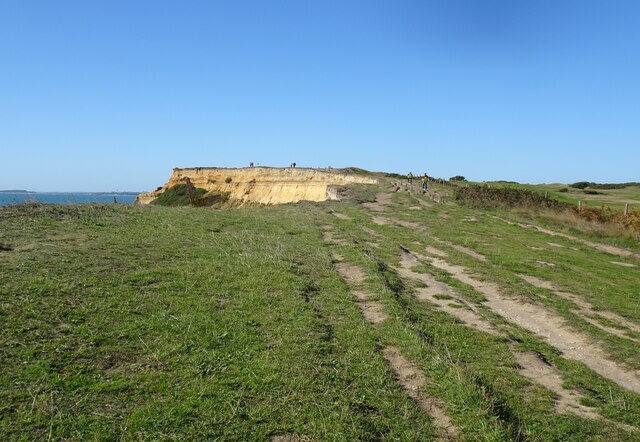
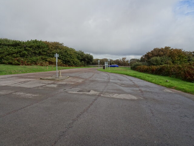
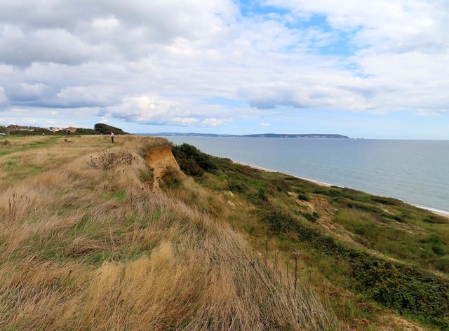
Barton Cliff offers stunning panoramic views of the surrounding coastline and the sea. The cliff rises to a height of approximately 30 meters (98 feet) above sea level and the slope extends down to the beach below. The cliff face is subject to erosion due to the constant battering of waves and weathering processes, which has resulted in occasional landslides and the formation of small caves and gullies.
The cliff and slope are home to a diverse range of plant and animal species. The vegetation on the cliff includes grasses, shrubs, and wildflowers, which provide habitats for insects and small mammals. Various seabirds can be spotted nesting on the cliff ledges, while marine creatures such as crabs and shellfish inhabit the rock pools at the base.
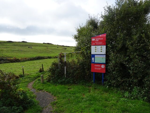
Barton Cliff is a popular destination for nature lovers, geologists, and tourists seeking breathtaking coastal scenery. It is also a site of geological importance, contributing to our understanding of the region's geological history and processes.
If you have any feedback on the listing, please let us know in the comments section below.
Barton Cliff Images
Images are sourced within 2km of 50.734176/-1.6540588 or Grid Reference SZ2492. Thanks to Geograph Open Source API. All images are credited.


Barton Cliff is located at Grid Ref: SZ2492 (Lat: 50.734176, Lng: -1.6540588)
Administrative County: Hampshire
District: New Forest
Police Authority: Hampshire
What 3 Words
///leader.happening.yawned. Near New Milton, Hampshire
Nearby Locations
Related Wikis
Highcliffe to Milford Cliffs
Highcliffe to Milford Cliffs is a 110.1-hectare (272-acre) geological Site of Special Scientific Interest which stretches along the south coast of England...

Barton on Sea
Barton on Sea (often hyphenated as Barton-on-Sea) is a cliff-top village in Hampshire, England close to the town New Milton, which is its civil parish...

New Milton Town F.C.
New Milton Town Football Club is a football club based in New Milton, Hampshire, England. They are currently members of the Wessex League Division One...
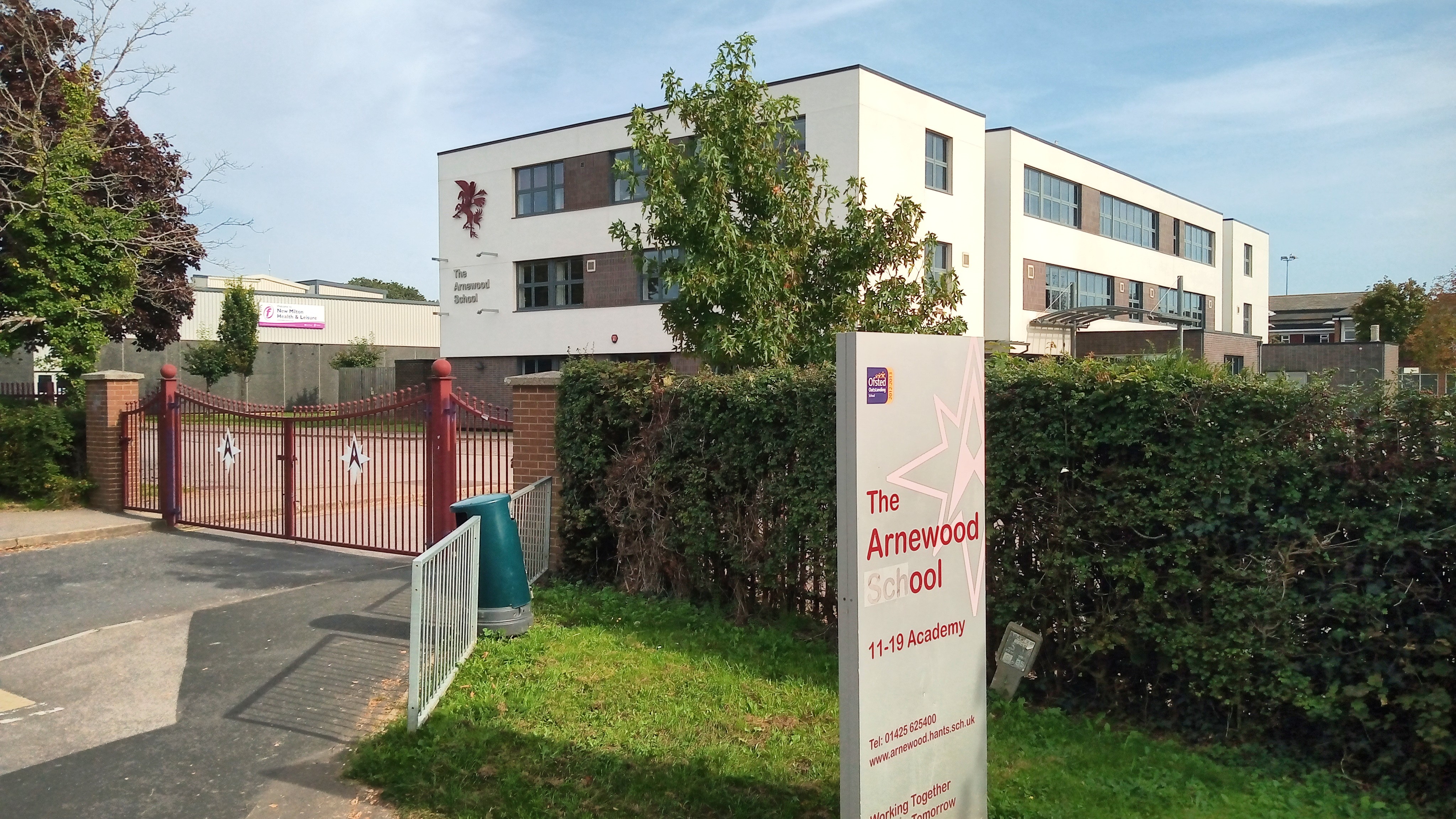
The Arnewood School
The Arnewood School is a mixed secondary school and sixth form located in New Milton in the English county of Hampshire.The school was converted to academy...

Chewton Glen
Chewton Glen is a five star hotel and spa located on the edge of the New Forest National Park on the south coast of England. It is a member of the Relais...
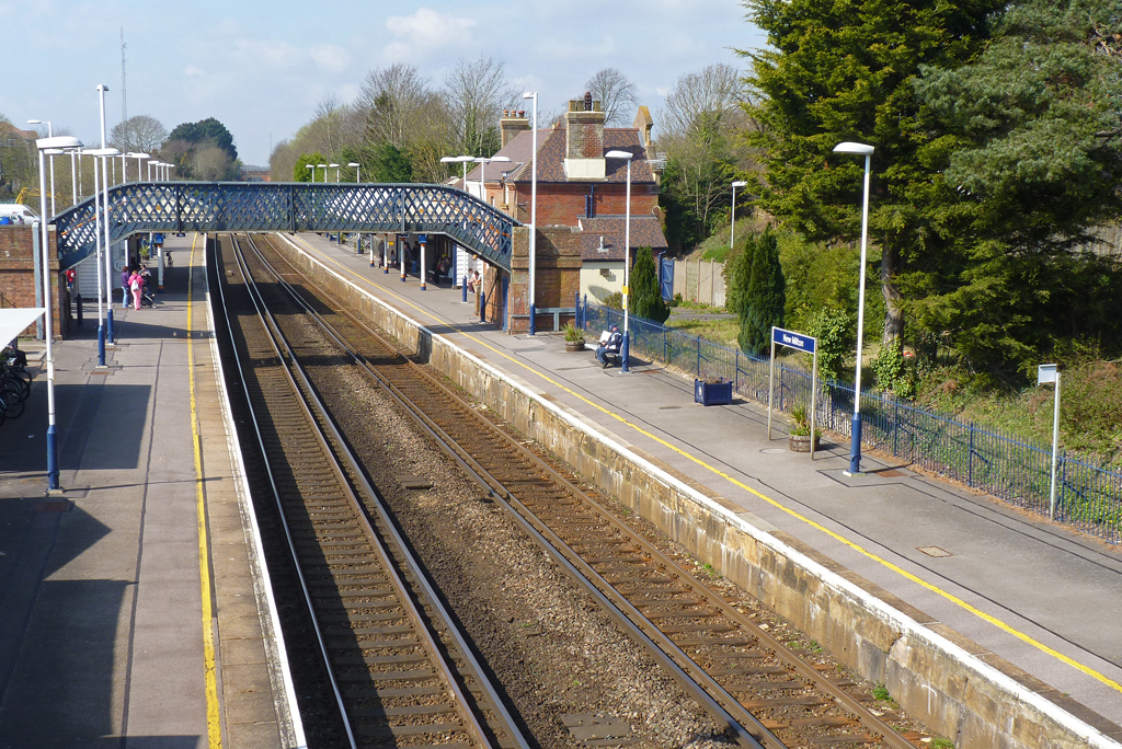
New Milton railway station
New Milton railway station serves the market town of New Milton in Hampshire, England. It is 98 miles 44 chains (158.6 km) down the line from London Waterloo...

Downton, Hampshire
Downton is a hamlet in Hampshire, England, clustered around a crossroads on the A337 road (Lymington to New Milton) with a lane to the sea southwards whilst...

Ashley, New Forest
Ashley is a village located in the southwest of Hampshire, England. It lies on the eastern outskirts of New Milton in the New Forest district, and is two...
Nearby Amenities
Located within 500m of 50.734176,-1.6540588Have you been to Barton Cliff?
Leave your review of Barton Cliff below (or comments, questions and feedback).