East Weare
Cliff, Slope in Dorset
England
East Weare
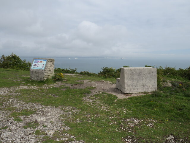
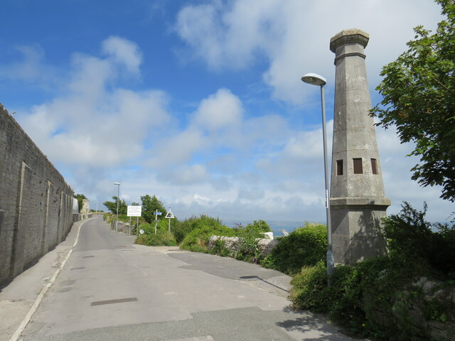
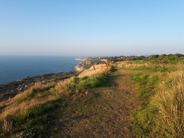
East Weare is a picturesque coastal village located in Dorset, England. Situated on a cliff with a gentle slope, it offers stunning views of the surrounding landscape and the sparkling waters of the English Channel. The village is known for its natural beauty, making it a popular destination for tourists and locals alike.
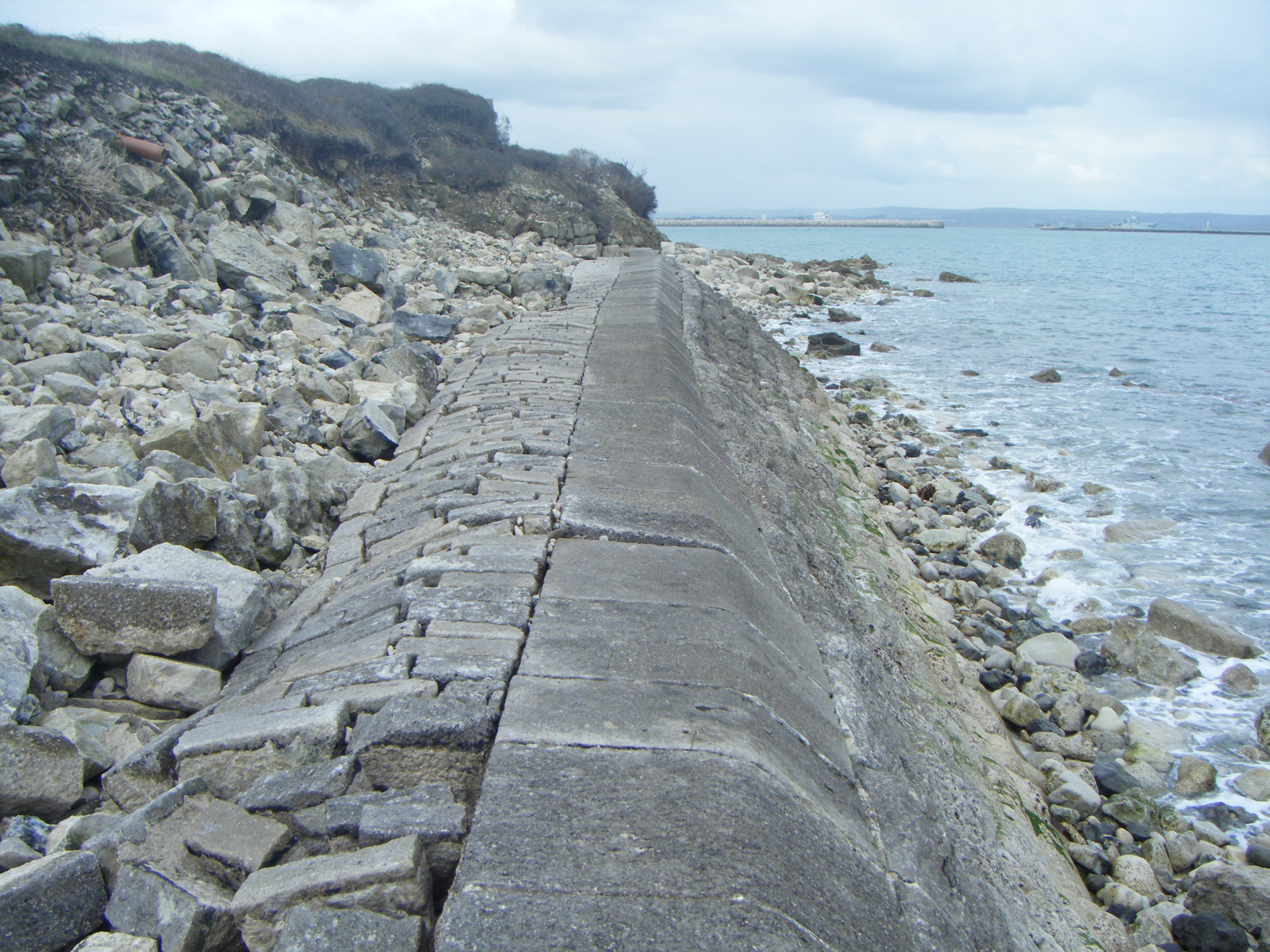
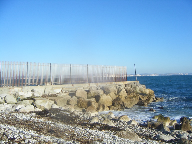
The cliff in East Weare is made up of layers of sedimentary rock, giving it a distinct appearance. It stands tall and provides a natural barrier against the powerful waves of the Channel, protecting the village from erosion. The cliff is a haven for birdwatchers, as it attracts a variety of seabirds such as gulls, cormorants, and puffins.
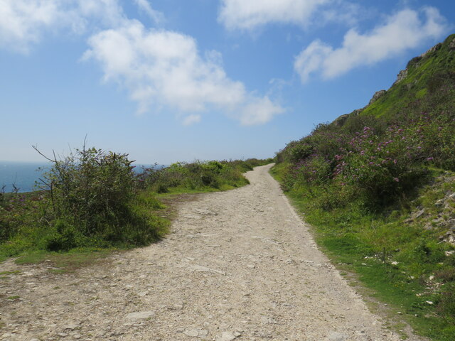
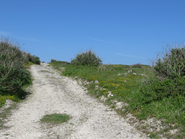
The slope leading down from the cliff offers a gentle descent to the beach below. The beach itself is a mixture of pebbles and sand, providing a serene and tranquil setting for visitors to enjoy. The shoreline is dotted with rock pools, which are teeming with marine life, making it a great spot for children and families to explore and discover.
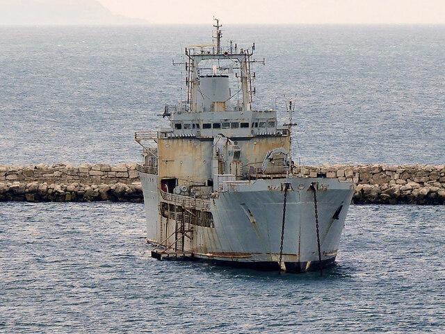
East Weare is also home to a small fishing community, with local fishermen taking to the waters to catch a variety of fish, including mackerel, cod, and crab. Visitors can often witness the boats returning to the harbor, bringing in their fresh catches of the day.
Overall, East Weare, Dorset, with its cliff and slope, offers a harmonious blend of natural beauty, tranquility, and a vibrant coastal atmosphere, making it a must-visit destination for those seeking a peaceful seaside retreat.
If you have any feedback on the listing, please let us know in the comments section below.
East Weare Images
Images are sourced within 2km of 50.555388/-2.4222083 or Grid Reference SY7072. Thanks to Geograph Open Source API. All images are credited.


East Weare is located at Grid Ref: SY7072 (Lat: 50.555388, Lng: -2.4222083)
Unitary Authority: Dorset
Police Authority: Dorset
What 3 Words
///demotion.motel.custodial. Near Fortuneswell, Dorset
Nearby Locations
Related Wikis

The Old Engine Shed, Portland
The Old Engine Shed is a disused 19th-century shed, once used to house locomotives serving the Admiralty Quarries. The shed overlooks East Weares and is...
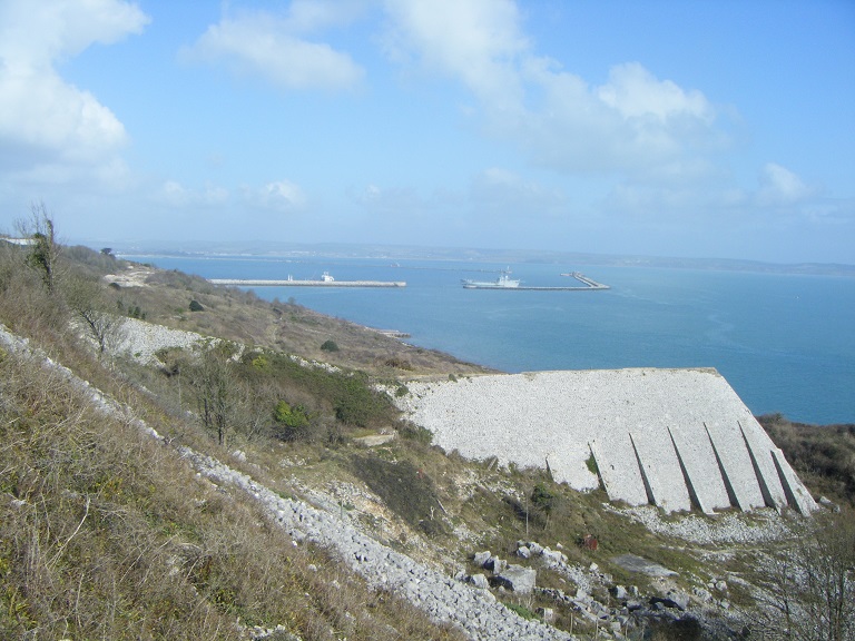
East Weare Rifle Range
East Weare Rifle Range is a disused naval rifle range on the Isle of Portland, Dorset, England. It is located within the area of East Weares, overlooking...

Folly Pier Waterworks
Folly Pier Waterworks was a 19th-century waterworks on the Isle of Portland, Dorset, England. It was located at East Weares, the east side of Portland...
Folly Pier
Folly Pier is a disused stone shipping quay, located on the Isle of Portland, Dorset, England; part of the Jurassic Coast. It is found on the east side...
King's Pier
King's Pier is a 17th-century stone shipping quay, located on the Isle of Portland, Dorset, England; part of the Jurassic Coast. It is found at the boundary...
The Grove, Portland
The Grove is a small village located at Tophill on the Isle of Portland in Dorset. The village is found close to the larger village Easton, and is most...
St Peter's Church, Portland
St. Peter's Church is a former Church of England church in The Grove, on the Isle of Portland, Dorset. Designed by Major-General Sir Edmund Du Cane, the...

Nicodemus Knob
Nicodemus Knob is a 30-feet pillar of Portland stone, left as a landmark and quarrying relic at East Cliff on the Isle of Portland, Dorset, England. A...
Nearby Amenities
Located within 500m of 50.555388,-2.4222083Have you been to East Weare?
Leave your review of East Weare below (or comments, questions and feedback).