South Bottom
Cliff, Slope in Somerset Sedgemoor
England
South Bottom

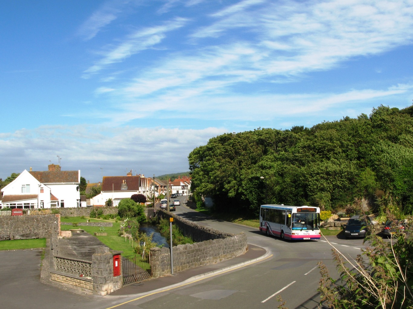
South Bottom is a small village located in the county of Somerset, in the southwestern part of England. Situated on a cliff, the village boasts stunning views of the surrounding countryside and the nearby coastline. Its unique geographical position on the slope of this cliff gives it a distinctive character and charm.
The village is primarily residential, with a small population of approximately 300 residents. The houses in South Bottom are predominantly traditional stone cottages, adding to the village's picturesque appeal. Many of these cottages have beautiful gardens, further enhancing the overall aesthetic.
Despite its small size, South Bottom offers a range of amenities and services to its residents. There is a local pub, which serves as a social hub for the community, providing a place for residents to gather and socialize. There is also a village hall that hosts various events and activities throughout the year, fostering a strong sense of community spirit.
The surrounding landscape offers numerous opportunities for outdoor activities. The cliff and slope provide excellent hiking and walking trails, allowing residents and visitors alike to explore the scenic countryside. Additionally, the nearby coastline provides opportunities for water-based activities such as fishing, sailing, and swimming.
Overall, South Bottom is a charming village with a unique geographical setting. Its stunning views, traditional architecture, and strong sense of community make it an attractive place to live or visit for those seeking a peaceful and picturesque setting.
If you have any feedback on the listing, please let us know in the comments section below.
South Bottom Images
Images are sourced within 2km of 51.323861/-3.0202973 or Grid Reference ST2958. Thanks to Geograph Open Source API. All images are credited.

![Steep Holm[e] from Brean Down Boggy, yucky Severn mud looks golden black in the sunlight.](https://s2.geograph.org.uk/photos/01/29/012974_f347daf5.jpg)


South Bottom is located at Grid Ref: ST2958 (Lat: 51.323861, Lng: -3.0202973)
Administrative County: Somerset
District: Sedgemoor
Police Authority: Avon and Somerset
What 3 Words
///confident.kidney.introduce. Near Weston-super-Mare, Somerset
Nearby Locations
Related Wikis
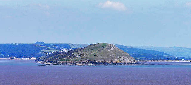
Brean Down
Brean Down is a promontory off the coast of Somerset, England, standing 318 feet (97 m) high and extending 1+1⁄2 miles (2.5 kilometres) into the Bristol...
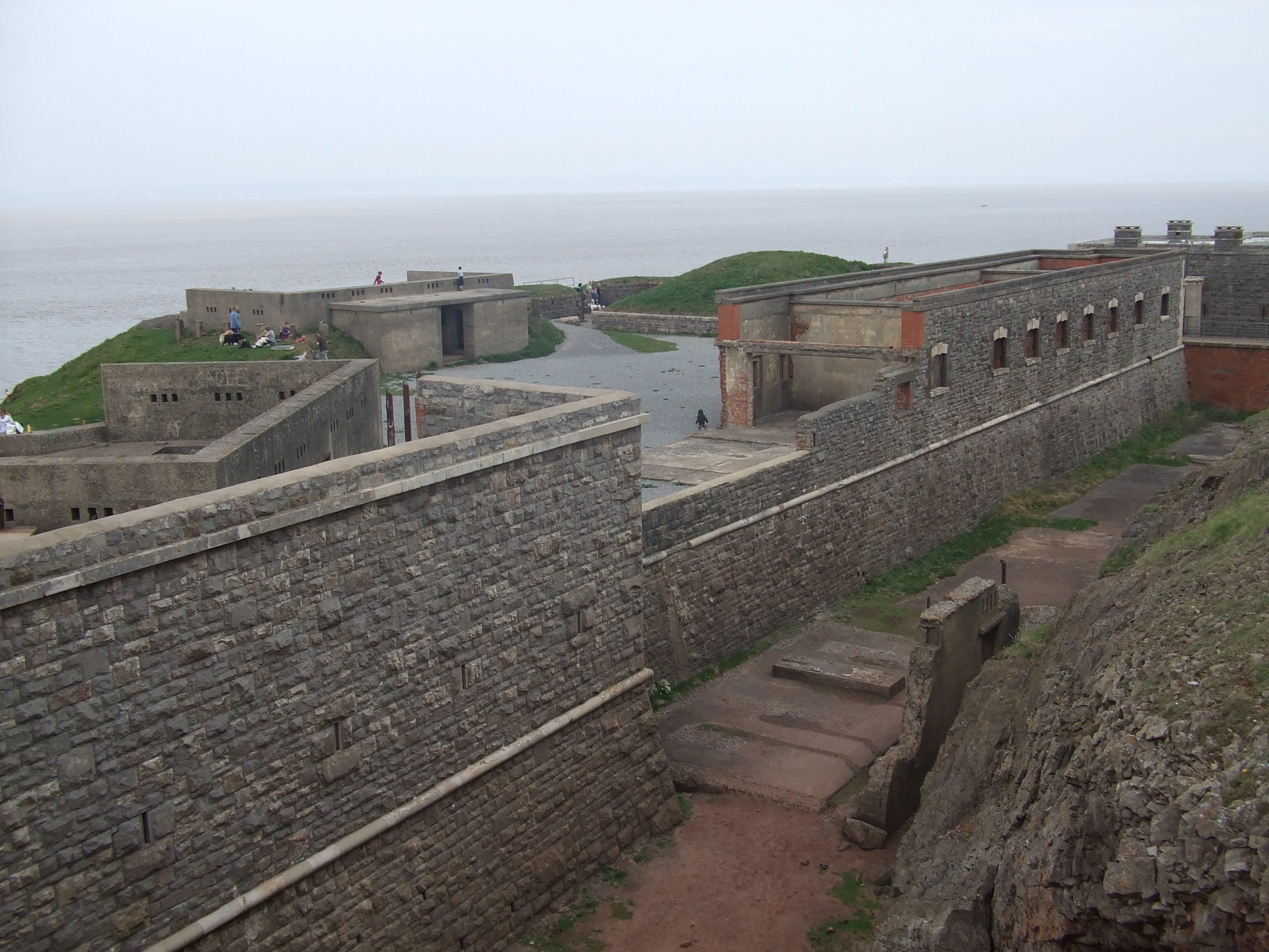
Brean Down Fort
Brean Down Fort was a Victorian naval fortification designed to protect the Bristol Channel. It was built 60 feet (18 m) above sea level on the headland...

Weston Bay
Weston Bay is an inlet of the Bristol Channel in North Somerset, England. It lies between Brean Down, which is now owned by the National Trust, is rich...

River Axe (Bristol Channel)
The River Axe is a river in South West England. The river is formed by water entering swallets in the limestone and rises from the ground at Wookey Hole...
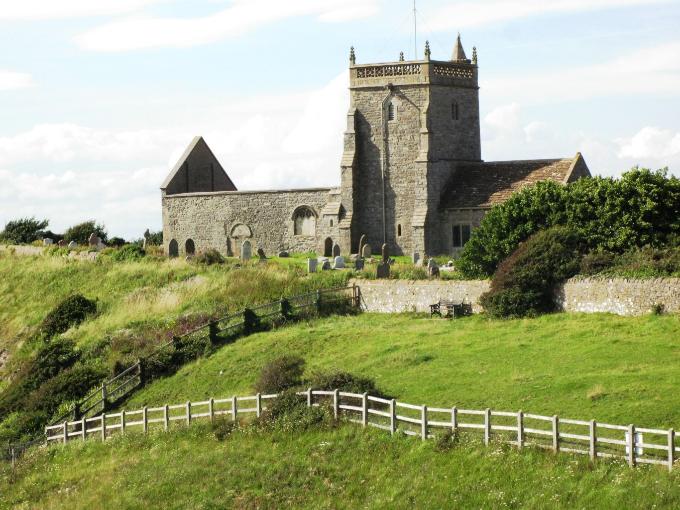
Old Church of St Nicholas, Uphill
The Old Church of St Nicholas at Uphill, Somerset, England, is described as 'Norman' but was remodelled in later Middle Ages. Regular services ceased in...
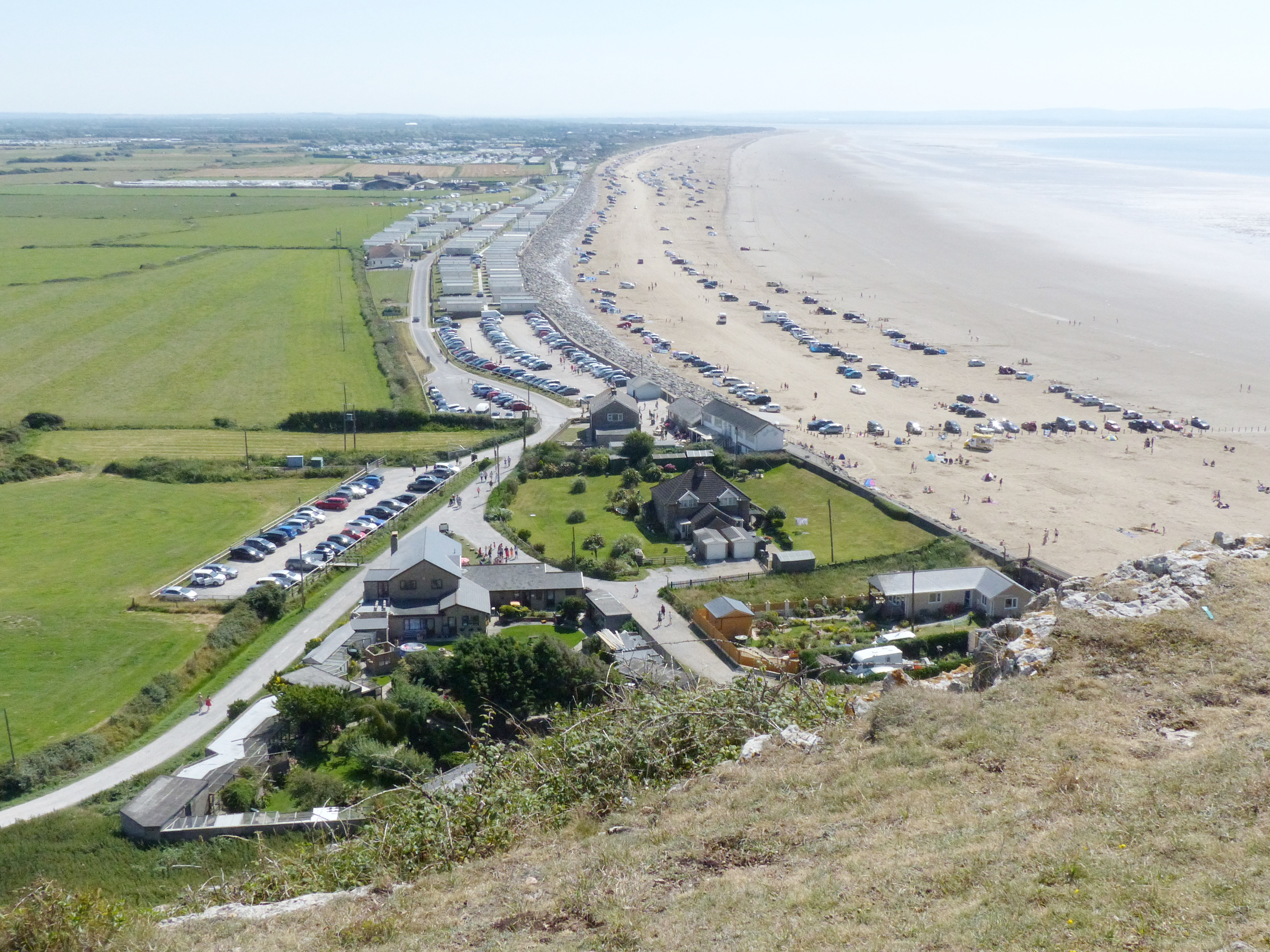
Brean
Brean is a village and civil parish between Weston-super-Mare and Burnham-on-Sea in Somerset, England. The name is derived from "Bryn" Brythonic and Modern...

Uphill Cliff
Uphill Cliff (grid reference ST318583) is a 19.8 hectare biological Site of Special Scientific Interest near the village of Uphill, North Somerset, although...
Uphill
Uphill is a village and former civil parish, now in the parish of Weston-super-Mare, in the North Somerset district, in the ceremonial county of Somerset...
Nearby Amenities
Located within 500m of 51.323861,-3.0202973Have you been to South Bottom?
Leave your review of South Bottom below (or comments, questions and feedback).