Stours Kinora
Cliff, Slope in Orkney
Scotland
Stours Kinora
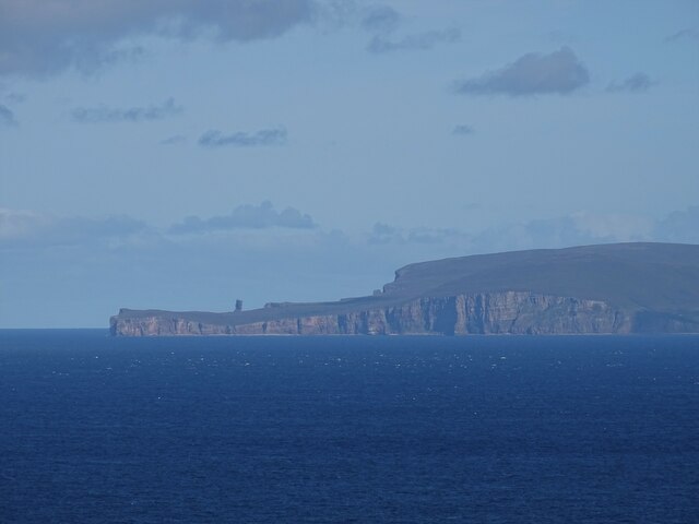
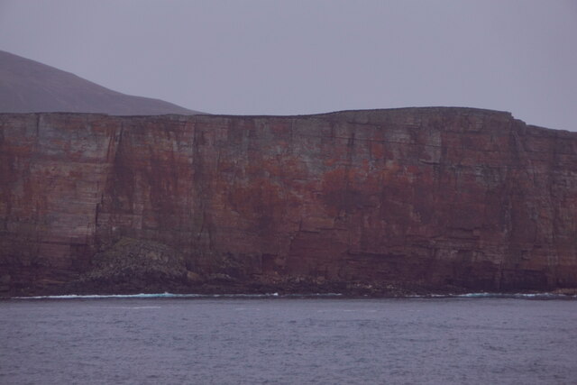
Stours Kinora is a picturesque cliff and slope located in Orkney, a group of islands off the northeastern coast of Scotland. Situated on the eastern coast of the Mainland, the largest island in Orkney, Stours Kinora is a prominent natural feature that draws visitors from near and far.
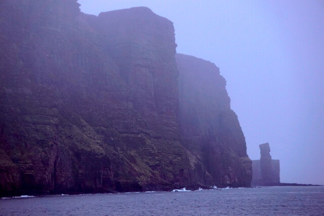
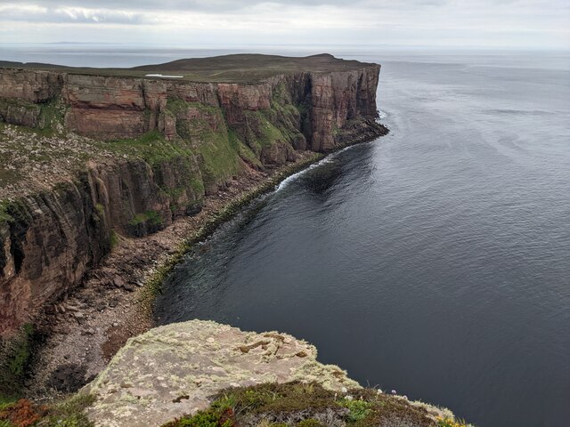
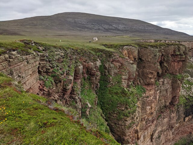
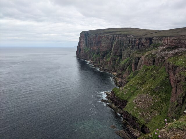
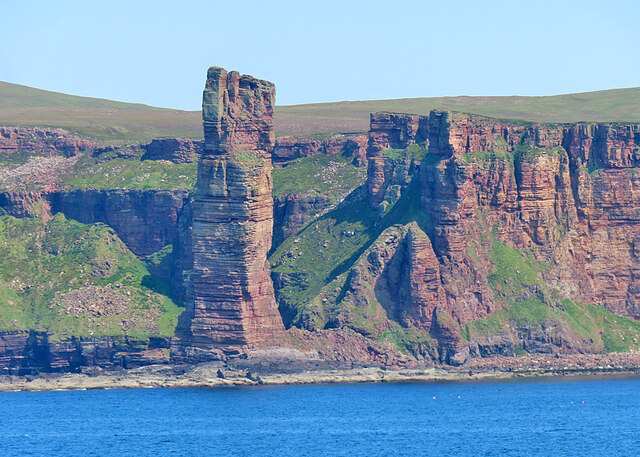
The cliff at Stours Kinora is characterized by its rugged and imposing appearance, with sheer rock faces that tower over the surrounding landscape. The cliff is composed of layers of sandstone and shale, evidence of the geological processes that have shaped the area over millions of years. It offers breathtaking views of the North Sea, with crashing waves and dramatic sunsets that captivate the senses.
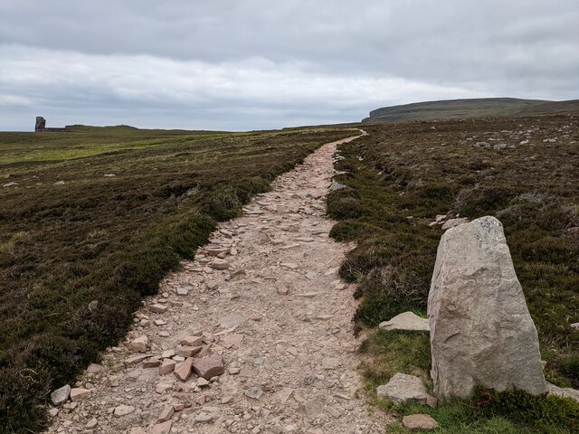
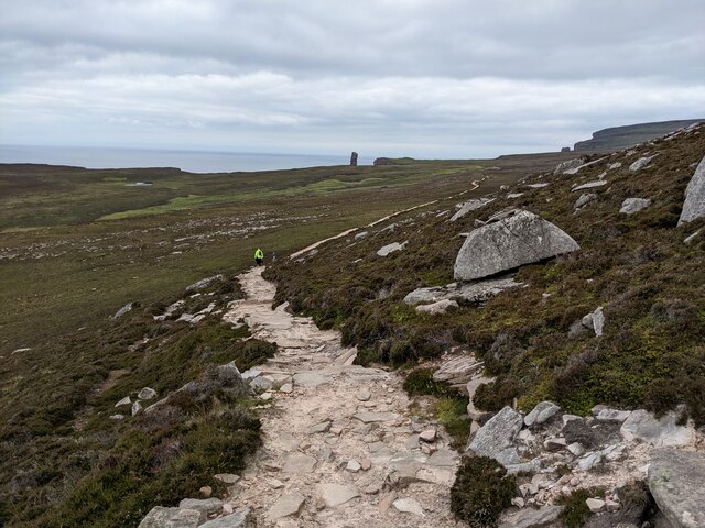
Adjacent to the cliff is a sloping grassy area that extends towards the shoreline. This slope is lush with vegetation, including wildflowers and grasses, which create a vibrant and colorful backdrop against the ruggedness of the cliff. It is a popular spot for hikers and nature enthusiasts, who can explore the area on foot and take in the stunning vistas.
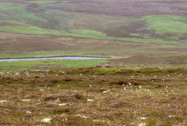
Stours Kinora is also known for its rich wildlife. The cliff provides nesting sites for seabirds such as puffins, fulmars, and guillemots, making it an important breeding ground for these species. Visitors may also spot seals basking on the nearby rocks or dolphins frolicking in the water.
Overall, Stours Kinora is a remarkable natural feature that showcases the beauty and diversity of Orkney's landscape. Its towering cliffs, sloping grasslands, and abundant wildlife make it a must-visit destination for those seeking to immerse themselves in the raw and awe-inspiring beauty of nature.
If you have any feedback on the listing, please let us know in the comments section below.
Stours Kinora Images
Images are sourced within 2km of 58.890389/-3.4212107 or Grid Reference HY1801. Thanks to Geograph Open Source API. All images are credited.


Stours Kinora is located at Grid Ref: HY1801 (Lat: 58.890389, Lng: -3.4212107)
Unitary Authority: Orkney Islands
Police Authority: Highlands and Islands
What 3 Words
///stone.dizziness.ticked. Near Stromness, Orkney Islands
Nearby Locations
Related Wikis

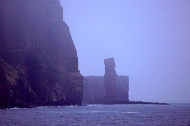
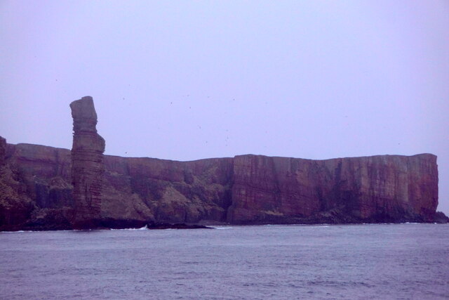
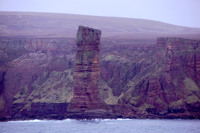
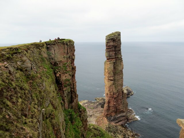
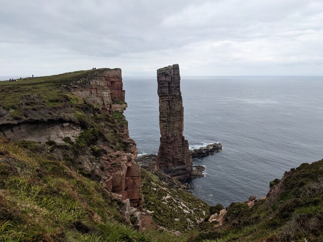
Old Man of Hoy
The Old Man of Hoy is a 449-foot (137-metre) sea stack on Hoy, part of the Orkney archipelago off the north coast of Scotland. Formed from Old Red Sandstone...
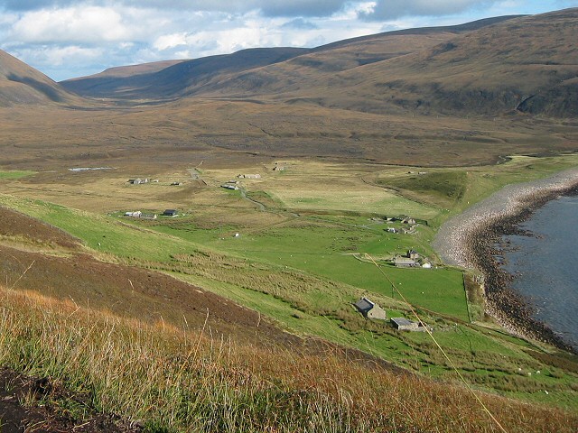
Rackwick
Rackwick is a small coastal crofting township in the north west of the island of Hoy in Orkney, Scotland. As well as a handful of tourist amenities the...

HMS Pheasant (1916)
HMS Pheasant was one of 85 Admiralty M-class destroyers built during the First World War for the Royal Navy. She hit and was sunk by a mine in 1917....

Ward Hill, Hoy
Ward Hill is a hill on the island of Hoy in Orkney, Scotland. It lies at the north of the island between Moaness and Rackwick, and is the highest point...
Nearby Amenities
Located within 500m of 58.890389,-3.4212107Have you been to Stours Kinora?
Leave your review of Stours Kinora below (or comments, questions and feedback).