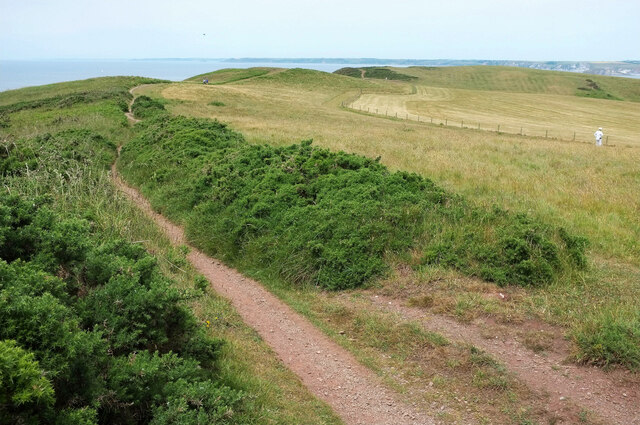
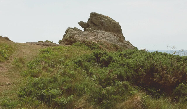
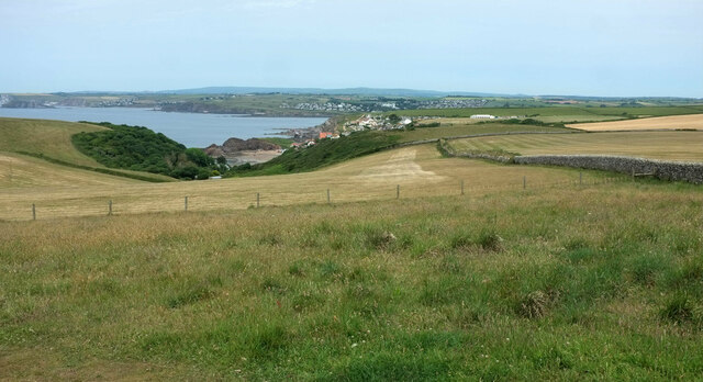
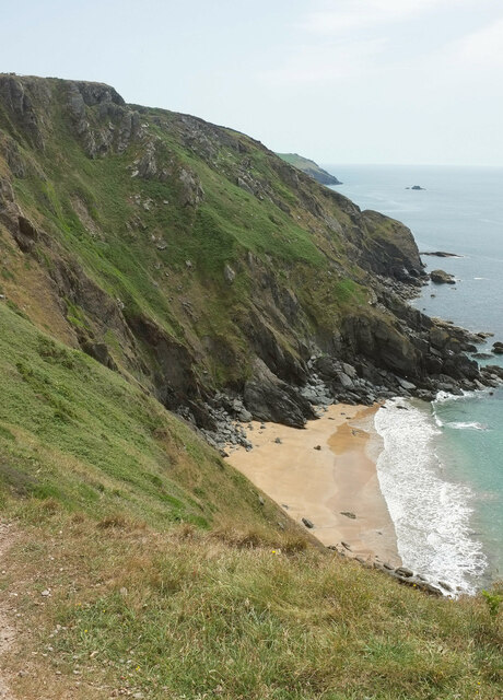
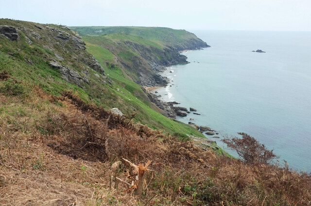
West Cliff
Cliff, Slope in Devon South Hams
England
West Cliff
The requested URL returned error: 429 Too Many Requests
If you have any feedback on the listing, please let us know in the comments section below.
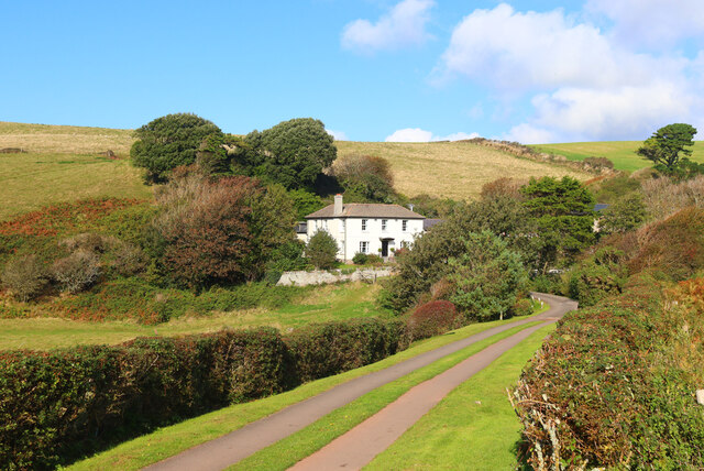
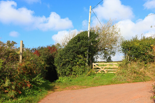
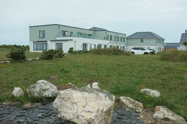
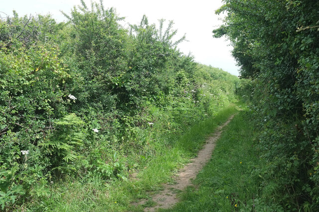
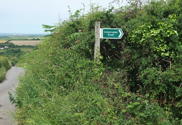
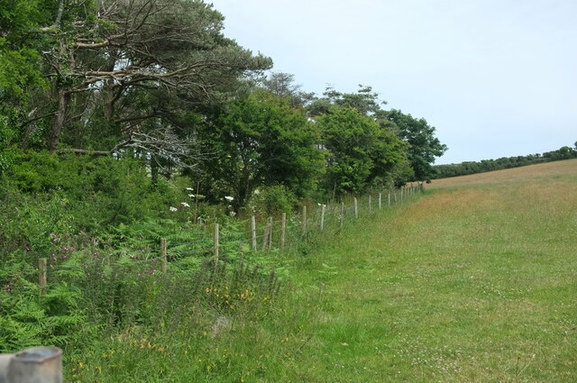
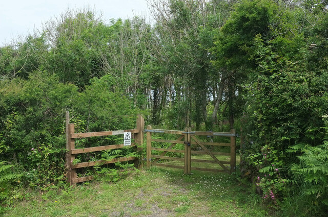
West Cliff Images
Images are sourced within 2km of 50.228585/-3.8375778 or Grid Reference SX6938. Thanks to Geograph Open Source API. All images are credited.
West Cliff is located at Grid Ref: SX6938 (Lat: 50.228585, Lng: -3.8375778)
Administrative County: Devon
District: South Hams
Police Authority: Devon and Cornwall
What 3 Words
///superbly.belief.workroom. Near Salcombe, Devon
Nearby Locations
Related Wikis

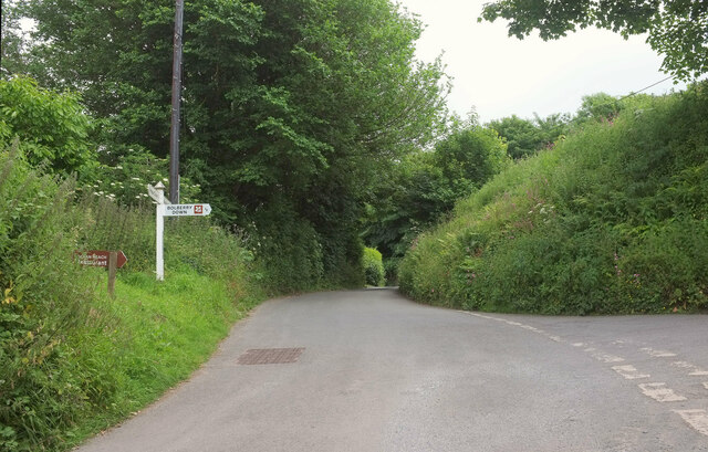
Bolberry Down
Bolberry Down is a clifftop area on the coast of Devon, England. The headland of Bolt Tail lies to the west and Bolt Head and the town of Salcombe to the...
Bolberry
Bolberry is a hamlet on the south coast of Devon, England. The village is mentioned in Domesday Book in 1066 and 1086, which shows the land was of little...

Malborough
Malborough is a village and civil parish in the South Hams region of Devon. The village is located on the A381 between Kingsbridge and Salcombe, and is...

SS Maine
SS Maine was a British steamship launched in 1905 as a 3600-ton cargo steamer with a triple-expansion engine. She was torpedoed and sunk on 21 November...
Nearby Amenities
Located within 500m of 50.228585,-3.8375778Have you been to West Cliff?
Leave your review of West Cliff below (or comments, questions and feedback).