Pantychwarel
Cliff, Slope in Cardiganshire
Wales
Pantychwarel
The requested URL returned error: 429 Too Many Requests
If you have any feedback on the listing, please let us know in the comments section below.
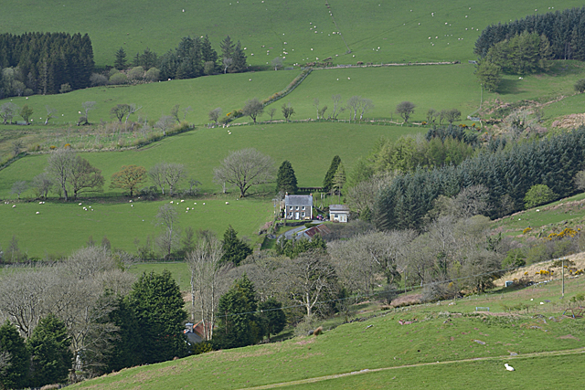
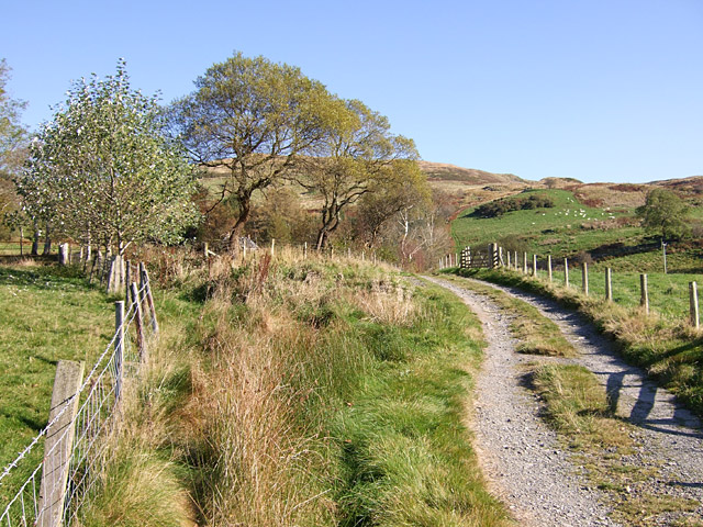
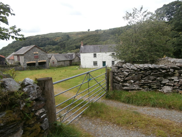
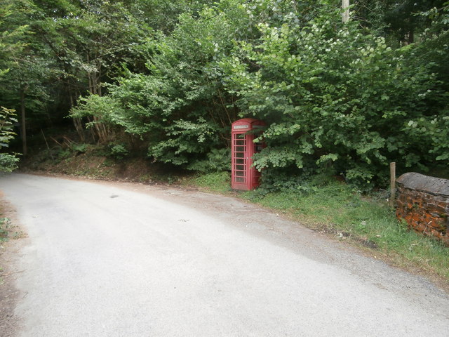
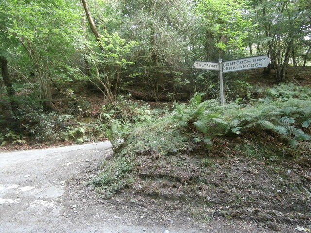
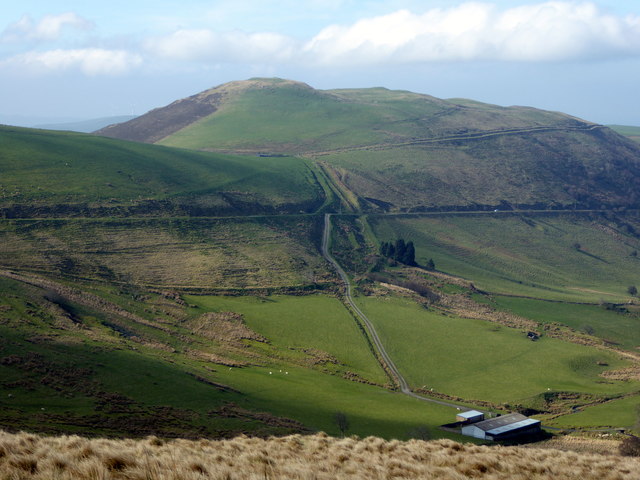
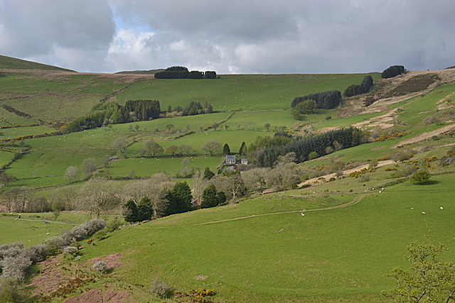
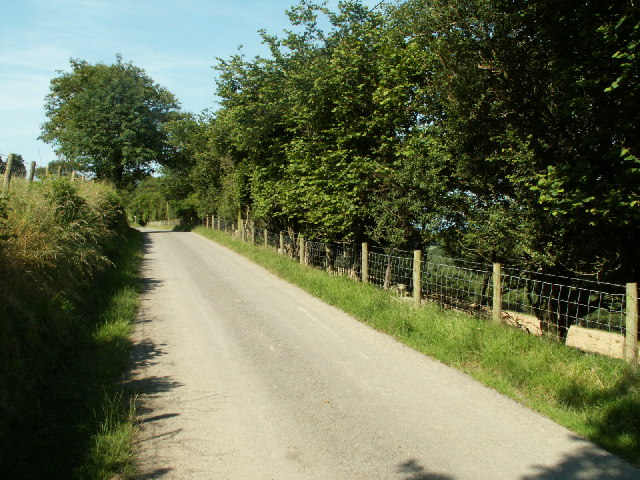
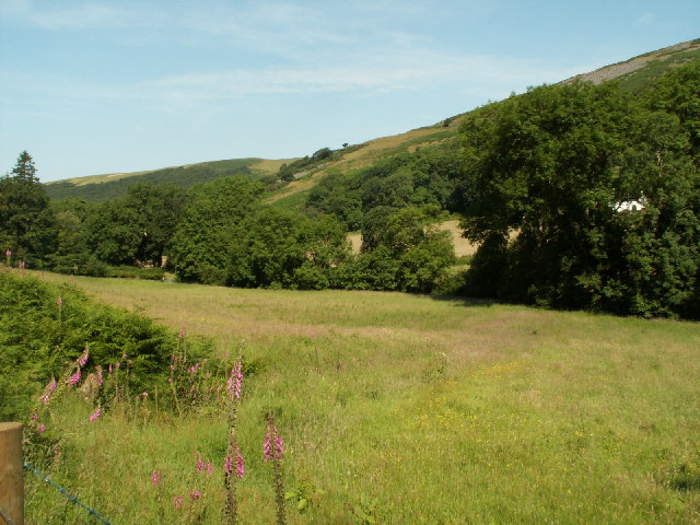
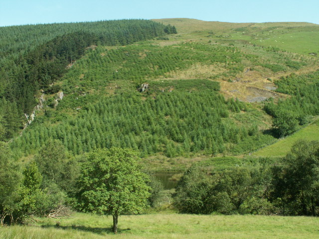
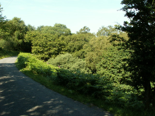
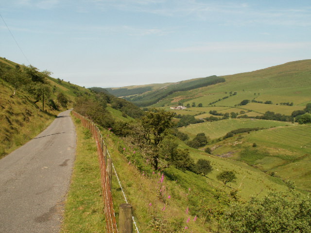
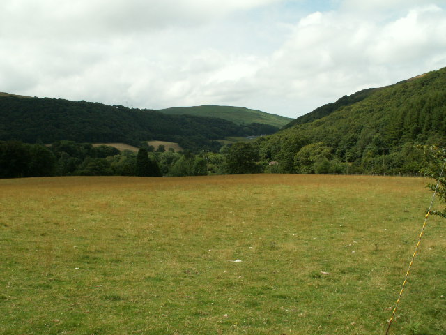
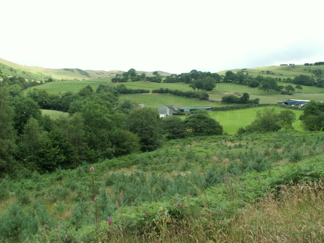
Pantychwarel Images
Images are sourced within 2km of 52.492338/-3.9310821 or Grid Reference SN6890. Thanks to Geograph Open Source API. All images are credited.


Pantychwarel is located at Grid Ref: SN6890 (Lat: 52.492338, Lng: -3.9310821)
Unitary Authority: Ceredigion
Police Authority: Dyfed Powys
What 3 Words
///handyman.releasing.blurs. Near Borth, Ceredigion
Nearby Locations
Related Wikis
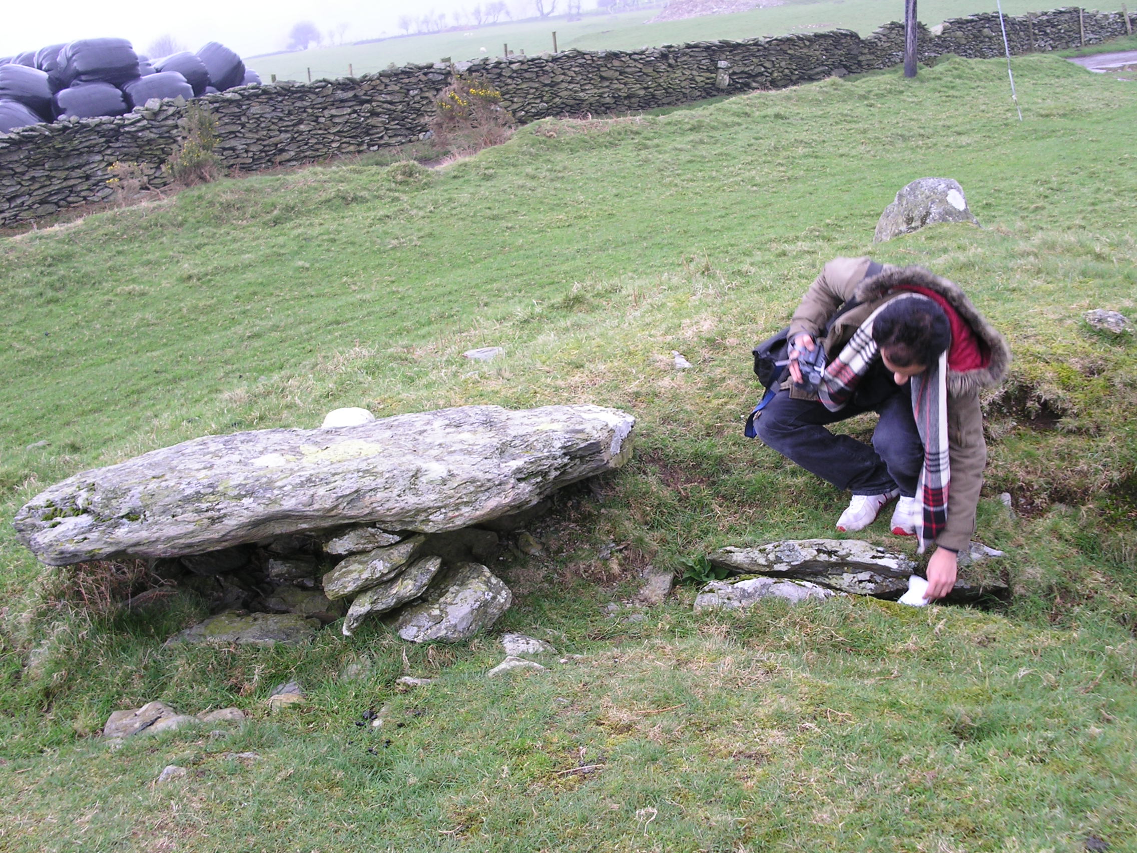
Bedd Taliesin
Bedd Taliesin is the legendary grave (bedd) of the poet Taliesin, located in Ceredigion, Wales. The Bronze Age round cairn is a listed Historic Monument...

Coed Cwm Clettwr
Coed Cwm Clettwr is a Site of Special Scientific Interest in Ceredigion, west Wales. It is designated for mature broadleaf woodland.The alternative spelling...

Tal-y-bont, Ceredigion
Tal-y-bont (Welsh pronunciation: [ˌtal ə ˈbɔnt]; also spelled as Talybont) is a village in Ceredigion, Wales, located on the A487 road about halfway between...

Tre-Taliesin
Tre-Taliesin is a village in Ceredigion on the A487 road, 9 miles north of Aberystwyth, Wales, and 9 miles south of Machynlleth. It is in the parish of...
Nearby Amenities
Located within 500m of 52.492338,-3.9310821Have you been to Pantychwarel?
Leave your review of Pantychwarel below (or comments, questions and feedback).