Grimsay
Settlement in Inverness-shire
Scotland
Grimsay
Grimsay is a small and picturesque village located in the Inverness-shire region of Scotland. Situated on the Isle of North Uist in the Outer Hebrides archipelago, Grimsay is characterized by its stunning natural beauty and tranquil atmosphere.
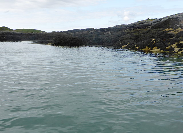
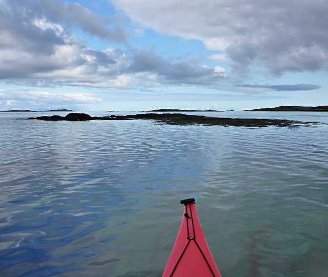
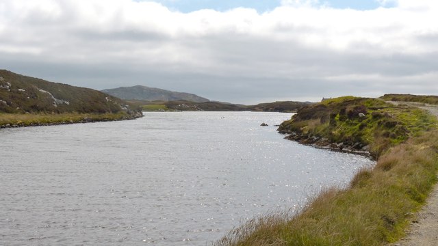
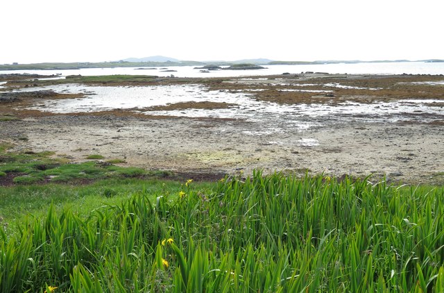
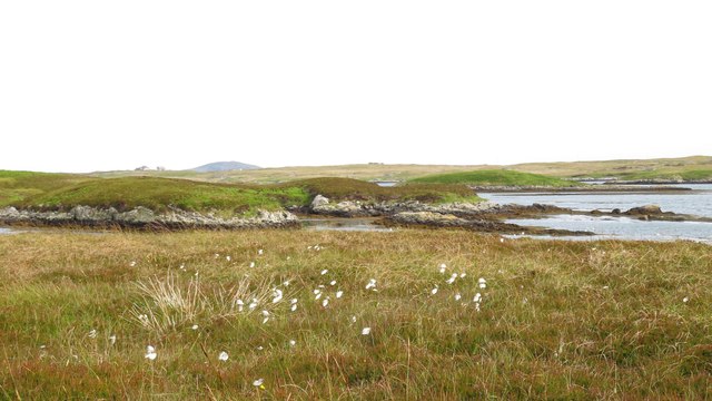
The village is surrounded by vast expanses of rolling green hills, pristine sandy beaches, and the crystal-clear waters of the North Atlantic Ocean. Its remote location and untouched landscapes make it a popular destination for nature enthusiasts and those seeking a peaceful retreat.
Grimsay is known for its rich historical heritage, dating back to ancient times. The area is dotted with numerous archaeological sites, including burial cairns, standing stones, and Iron Age forts. These remnants of the past offer a glimpse into the island's intriguing history.
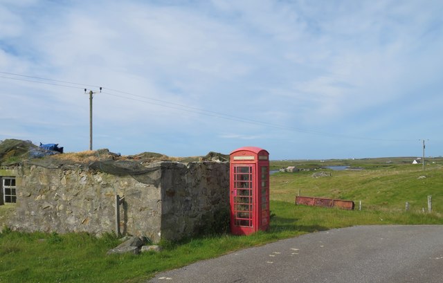
The local economy of Grimsay is predominantly based on traditional industries such as fishing and crofting. The village is home to a close-knit community of friendly and welcoming residents, who take pride in their cultural heritage and traditional way of life.
Visitors to Grimsay can enjoy a range of outdoor activities, including hiking, birdwatching, and wildlife spotting. The surrounding waters are perfect for fishing and sailing, while the nearby beaches provide opportunities for beachcombing and relaxation.
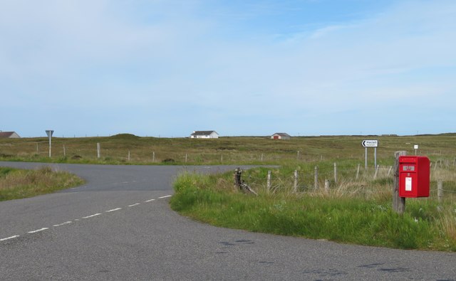
In terms of amenities, Grimsay offers a few small shops and local businesses, providing essential goods and services to both residents and tourists. Accommodation options are limited but include self-catering cottages and bed and breakfast establishments.
Overall, Grimsay is a hidden gem on the Isle of North Uist, offering a peaceful and idyllic setting for those seeking a remote getaway and a chance to immerse themselves in the beauty of the Scottish countryside.
If you have any feedback on the listing, please let us know in the comments section below.
Grimsay Images
Images are sourced within 2km of 57.405948/-7.2816528 or Grid Reference NF8247. Thanks to Geograph Open Source API. All images are credited.

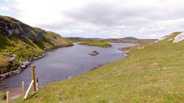
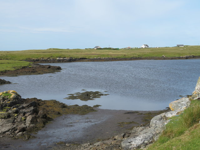
![Causeway by Loch Chill Eireabhaigh Compare with this similar view in 2008 [<a title="https://www.geograph.org.uk/photo/855856" href="https://www.geograph.org.uk/photo/855856">Link</a>].](https://s2.geograph.org.uk/geophotos/05/13/98/5139838_d0908f0c.jpg)
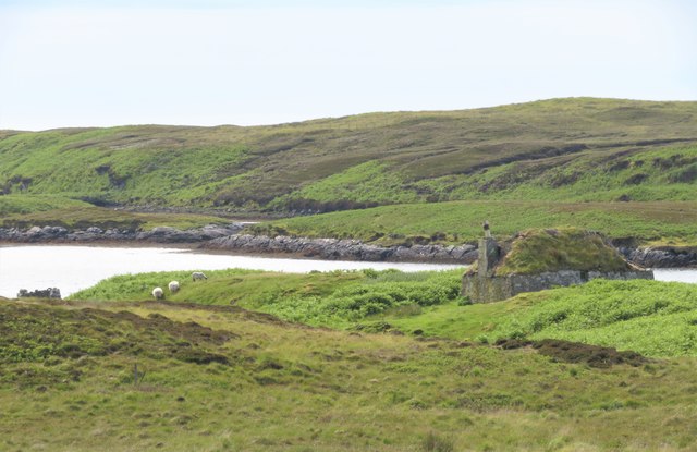
![Ruined croft house, 5-6 Hacklet (Hacleit), in 1995 Looking northeast across upper Loch Chearabhaigh (a sea loch) towards the scattered township of Kilerivagh.
According to local information from Mary Harman in 2018, the house is still there with the mid gable with chimney standing, but the roof is entirely gone. The windows are still clear, and the winnowing hole in the barn at the left hand side of the picture is still there. The telegraph pole behind the house, being redundant is no longer there.
The building probably dates from the 19th century and is Category B listed [<span class="nowrap"><a title="http://portal.historicenvironment.scot/designation/LB18754" rel="nofollow ugc noopener" href="http://portal.historicenvironment.scot/designation/LB18754">Link</a><img style="margin-left:2px;" alt="External link" title="External link - shift click to open in new window" src="https://s1.geograph.org.uk/img/external.png" width="10" height="10"/></span>]. It also appears on the Buildings at Risk Register [<span class="nowrap"><a title="https://www.buildingsatrisk.org.uk/search/keyword/hacklet/event_id/898243/building_name/5-6-hacklet" rel="nofollow ugc noopener" href="https://www.buildingsatrisk.org.uk/search/keyword/hacklet/event_id/898243/building_name/5-6-hacklet">Link</a><img style="margin-left:2px;" alt="External link" title="External link - shift click to open in new window" src="https://s1.geograph.org.uk/img/external.png" width="10" height="10"/></span>].](https://s3.geograph.org.uk/geophotos/05/75/00/5750063_735aba75.jpg)

Grimsay is located at Grid Ref: NF8247 (Lat: 57.405948, Lng: -7.2816528)
Unitary Authority: Na h-Eileanan an Iar
Police Authority: Highlands and Islands
Also known as: Griomasaigh
What 3 Words
///universes.energy.campus. Near Balivanich, Na h-Eileanan Siar
Related Wikis

Grimsay (South East Benbecula)
Grimsay, south east of Benbecula is a tidal island of the Outer Hebrides. It is connected to Benbecula by a causeway which carries the B891. In the 2001...

Eilean na Cille
Eilean na Cille, south east of Benbecula is an island of the Outer Hebrides connected to Grimsay (South) by a causeway which carries the B891. The road...

Eileanan Chearabhaigh
Eileanan Chearabhaigh is a collection of small uninhabited tidal islands off the south east coast of Benbecula in the Outer Hebrides of Scotland. The English...

Wiay, Outer Hebrides
Wiay (Scottish Gaelic: Bhuia or Fuidheigh) is an uninhabited island in the Outer Hebrides. It lies south-east of Benbecula and measures approximately...
Nearby Amenities
Located within 500m of 57.405948,-7.2816528Have you been to Grimsay?
Leave your review of Grimsay below (or comments, questions and feedback).