Grimsargh
Settlement in Lancashire Preston
England
Grimsargh
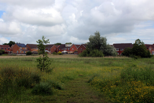
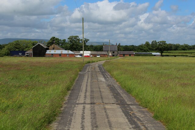
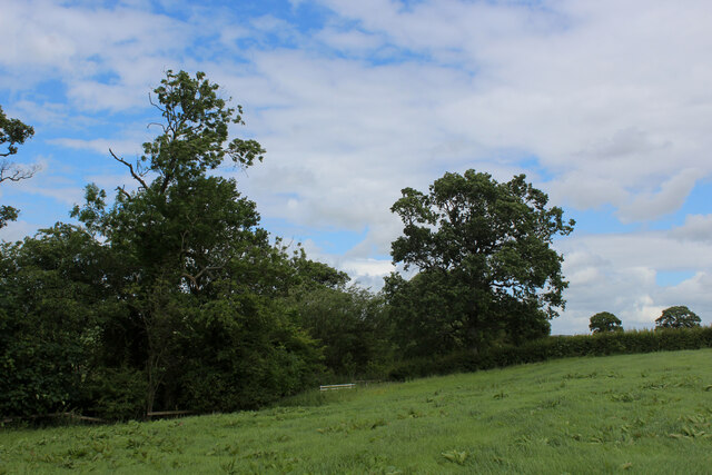
Grimsargh is a village located in the county of Lancashire, in the North West of England. Situated just 5 miles north of the bustling city of Preston, Grimsargh has a population of approximately 2,000 residents. The village is nestled amidst the picturesque countryside, offering a serene and tranquil environment.
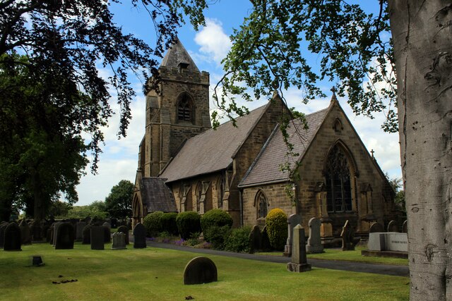
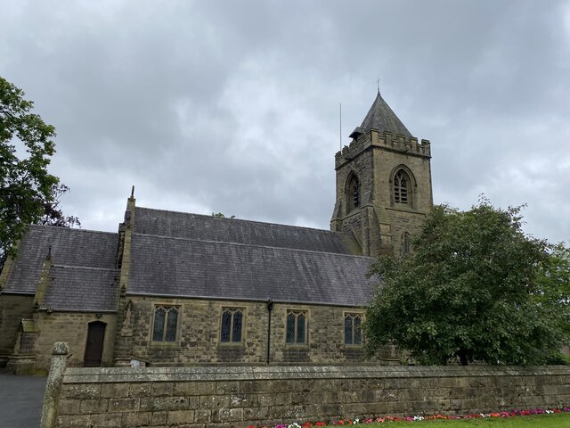
Grimsargh boasts a rich history, with evidence of human activity dating back to the Roman era. The village is home to several historical landmarks, including St. Michael's Church, a Grade II listed building that dates back to the 12th century. The church features stunning architectural details and serves as a reminder of the village's heritage.
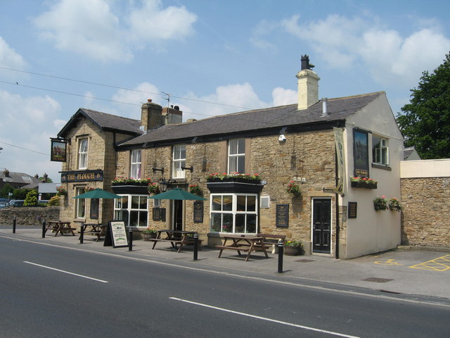
Despite its small size, Grimsargh offers a range of amenities to its residents. The village has a primary school, providing education to local children. Additionally, there are several shops, including a convenience store, a post office, and a few local businesses. Grimsargh also benefits from excellent transport links, with easy access to nearby major roads and public transportation options.
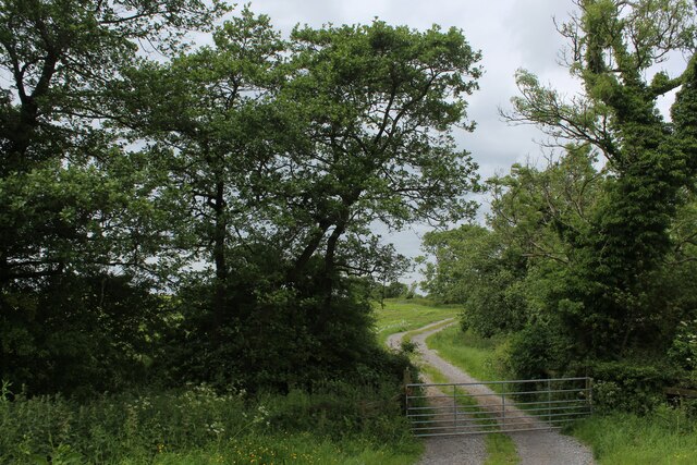
Nature lovers will find Grimsargh to be a haven, with numerous walking and cycling paths in the surrounding countryside. The village is also in close proximity to the enchanting Beacon Fell Country Park, which offers breathtaking views, picnic areas, and an abundance of wildlife.
Overall, Grimsargh is a charming village that combines a rich history with a peaceful rural setting, making it an attractive place to live for those seeking a close-knit community and a slower pace of life.
If you have any feedback on the listing, please let us know in the comments section below.
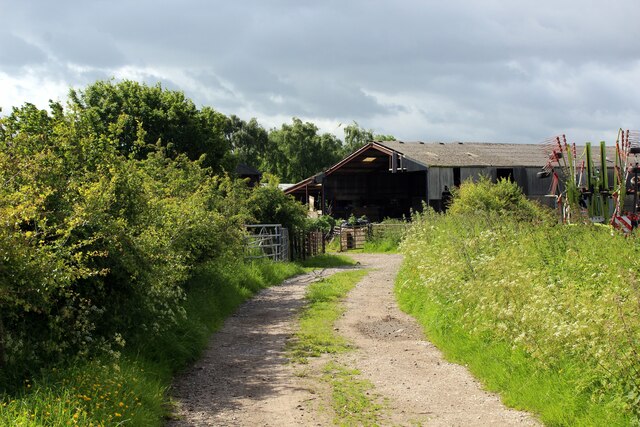
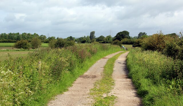
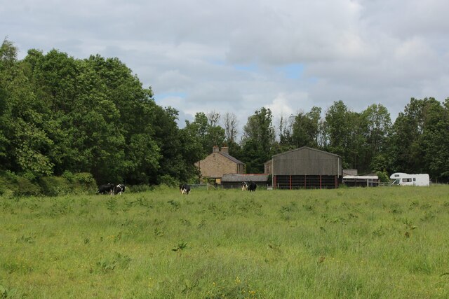
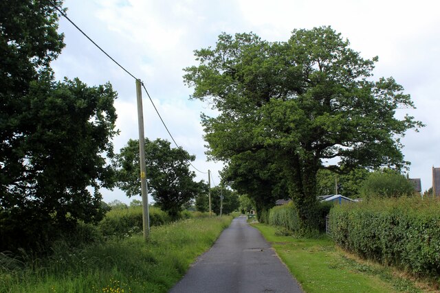
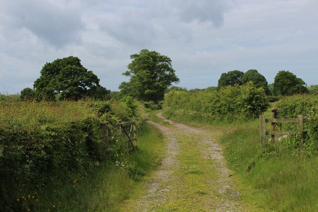
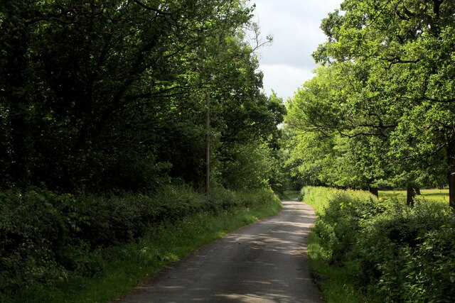
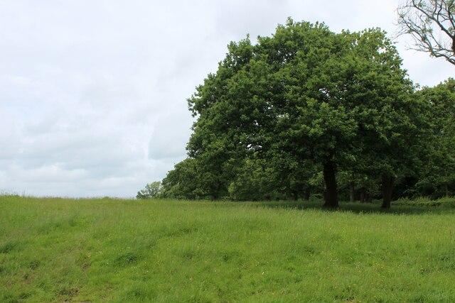
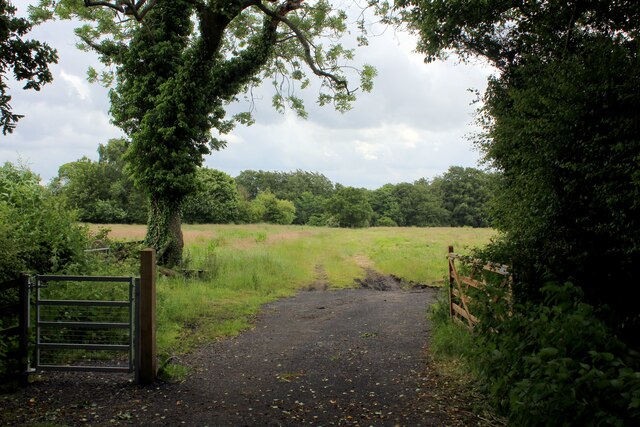
Grimsargh Images
Images are sourced within 2km of 53.804374/-2.633327 or Grid Reference SD5834. Thanks to Geograph Open Source API. All images are credited.


Grimsargh is located at Grid Ref: SD5834 (Lat: 53.804374, Lng: -2.633327)
Administrative County: Lancashire
District: Preston
Police Authority: Lancashire
What 3 Words
///stick.slant.lays. Near Goosnargh, Lancashire
Nearby Locations
Related Wikis
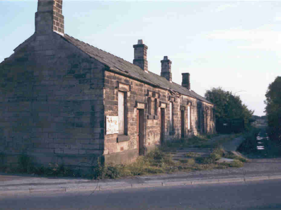
Grimsargh railway station
Grimsargh railway station was on the single track Preston and Longridge Railway. It served the village of Grimsargh in Lancashire, England. When the line...
Grimsargh
Grimsargh is a village and civil parish in the City of Preston, Lancashire, England. located 6 miles (10 km) east of Preston. == History == The name Grimsargh...

St Michael's Church, Grimsargh
St Michael's Church is in the village of Grimsargh, Lancashire, England. It is an active Anglican parish church in the deanery of Grimsargh, the archdeaconry...
Preston Rural East
Preston Rural East is an electoral ward in the City of Preston, Lancashire, England. The ward is in the eastern and northeastern part of the city near...
Nearby Amenities
Located within 500m of 53.804374,-2.633327Have you been to Grimsargh?
Leave your review of Grimsargh below (or comments, questions and feedback).