Creag Ruadh
Cliff, Slope in Sutherland
Scotland
Creag Ruadh

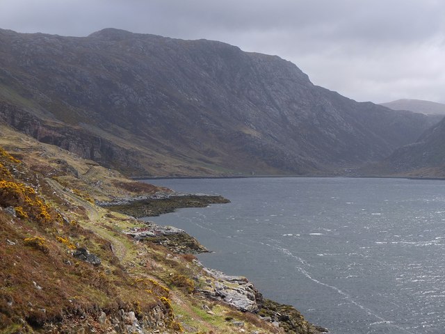
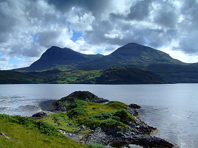
Creag Ruadh is a prominent cliff located in Sutherland, Scotland. It is situated on the east coast of the county, overlooking the North Sea. With its breathtaking views and rugged landscape, the cliff attracts numerous visitors and hikers every year.
Rising to a height of approximately 100 meters, Creag Ruadh stands tall and imposing, offering a panoramic vista of the surrounding landscape. The cliff is composed of layers of sedimentary rock, showcasing a variety of colors ranging from deep red to brown, giving it its name, which means "red rock" in Gaelic.
The steep slope of Creag Ruadh presents a challenging terrain for adventure seekers and rock climbers. Its vertical face provides an exhilarating opportunity for climbers to test their skills and conquer the cliff. Safety precautions and proper climbing gear are essential due to the rugged nature of the terrain.
The area surrounding Creag Ruadh is rich in biodiversity, with a diverse range of flora and fauna. Various species of birds, including seabirds like fulmars and kittiwakes, can be spotted nesting on the cliff face. The cliff also provides a habitat for unique plant species adapted to the harsh conditions of the coastal environment.
For those who prefer a more leisurely experience, there are several walking trails that lead to the top of Creag Ruadh, allowing visitors to enjoy the stunning views without the need for climbing equipment. The cliff also offers a peaceful setting for picnics and relaxation, with the sound of crashing waves providing a soothing ambiance.
Overall, Creag Ruadh is a captivating natural landmark, attracting nature enthusiasts and adventure seekers alike. Its towering presence and scenic beauty make it a must-visit destination for anyone exploring the stunning landscapes of Sutherland.
If you have any feedback on the listing, please let us know in the comments section below.
Creag Ruadh Images
Images are sourced within 2km of 58.242302/-4.9696963 or Grid Reference NC2532. Thanks to Geograph Open Source API. All images are credited.


Creag Ruadh is located at Grid Ref: NC2532 (Lat: 58.242302, Lng: -4.9696963)
Unitary Authority: Highland
Police Authority: Highlands and Islands
What 3 Words
///moth.glorified.contracts. Near Inchnadamph, Highland
Nearby Locations
Related Wikis
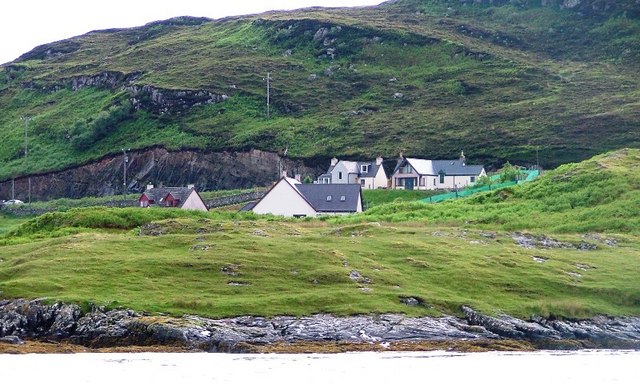
Unapool
Unapool is a small settlement in the Assynt district of Sutherland in the Highland council area of Scotland. It is located on the A894 between Durness...

Kylesku
Kylesku (Scottish Gaelic: An Caolas Cumhang) is a small, remote fishing hamlet in Sutherland in the Scottish Highlands. Until 1984, it was the site of...
Kylestrome
Kylestrome (Scottish Gaelic: Caol Sròim) is a village on the north shore of Loch a' Chàirn Bhàin, 2 miles (3 kilometres) northwest of Unapool, in Sutherland...

Kylesku Bridge
The Kylesku Bridge (officially known since 2019 by its Gaelic name Drochaid a' Chaolais Chumhaing) is a distinctively curved concrete box girder bridge...
Nearby Amenities
Located within 500m of 58.242302,-4.9696963Have you been to Creag Ruadh?
Leave your review of Creag Ruadh below (or comments, questions and feedback).