Beeny Cliff
Cliff, Slope in Cornwall
England
Beeny Cliff
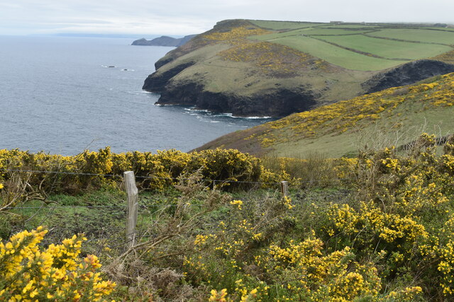
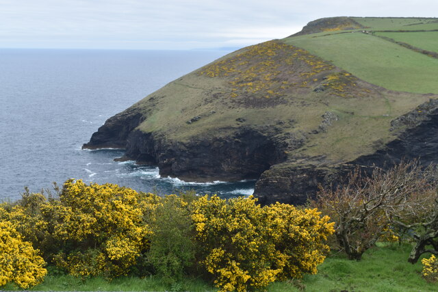
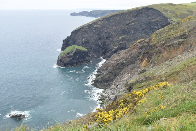
Beeny Cliff is a prominent geological formation located on the northern coast of Cornwall, England. It is situated near the small village of Boscastle and is part of the Cornwall Area of Outstanding Natural Beauty. The cliff derives its name from the nearby hamlet of Beeny, which lies to the north.
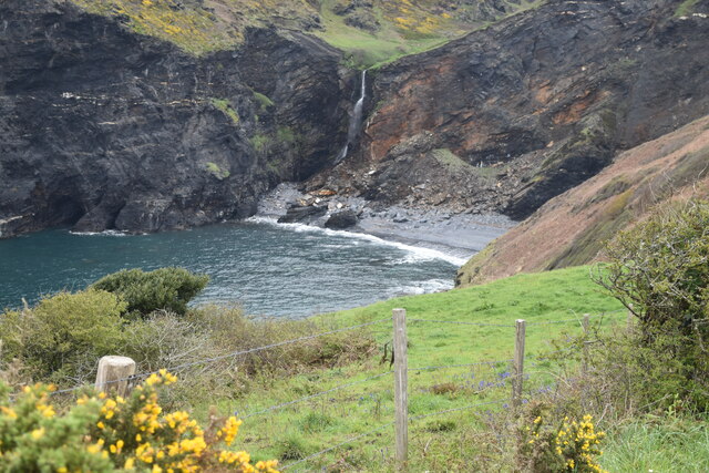
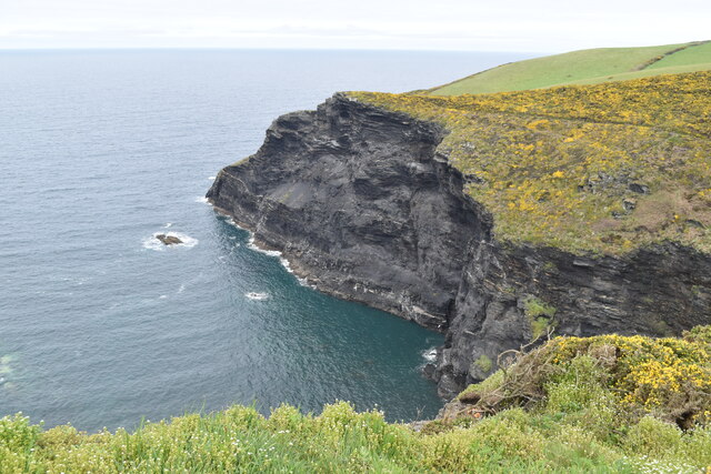
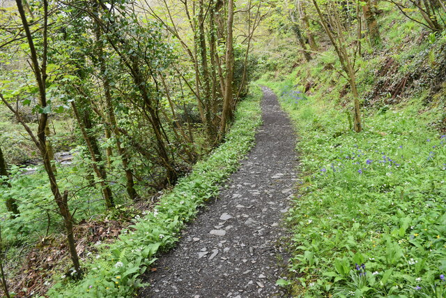
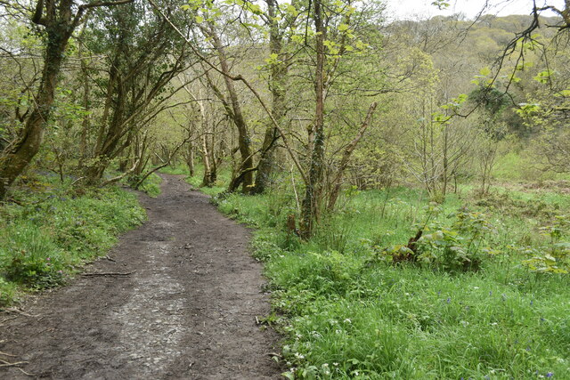
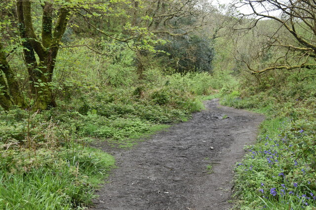
Stretching for approximately 500 meters along the coast, Beeny Cliff is characterized by its sheer vertical drop into the Atlantic Ocean. The cliff face is composed of slate and shale, displaying layers of sedimentary rock that have been shaped by millions of years of erosion. This erosion has resulted in the formation of several small caves and alcoves within the cliff.
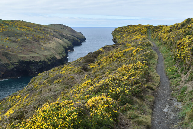
The slope leading up to Beeny Cliff is a mixture of grass, shrubs, and heather, providing a rich habitat for a variety of flora and fauna. The cliff and surrounding area are particularly known for their diverse bird population, including species such as peregrine falcons, kestrels, and fulmars.
The views from Beeny Cliff are nothing short of breathtaking. On a clear day, visitors can enjoy panoramic vistas of the rugged coastline, the crashing waves, and the surrounding countryside. The cliff also offers an excellent vantage point for observing the dramatic tides and the interplay between the land and sea.
Due to its natural beauty and geological significance, Beeny Cliff attracts a steady stream of tourists and outdoor enthusiasts. It provides ample opportunities for hiking, birdwatching, and photography, while also offering a tranquil escape from the hustle and bustle of daily life.
If you have any feedback on the listing, please let us know in the comments section below.
Beeny Cliff Images
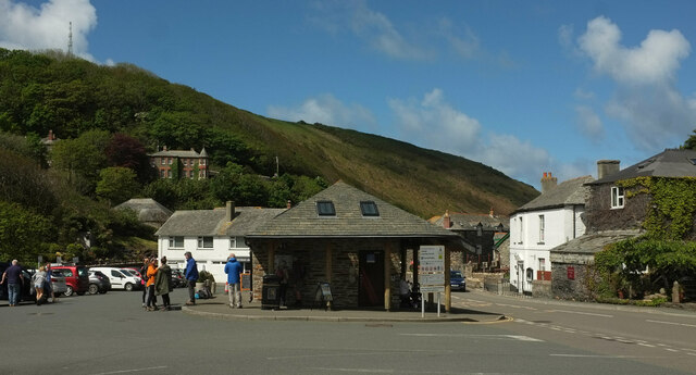
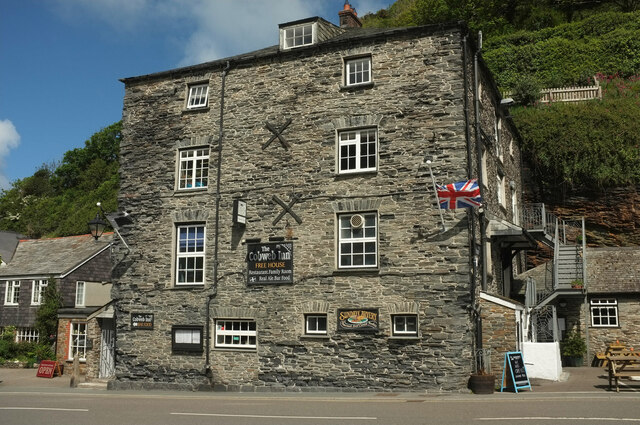
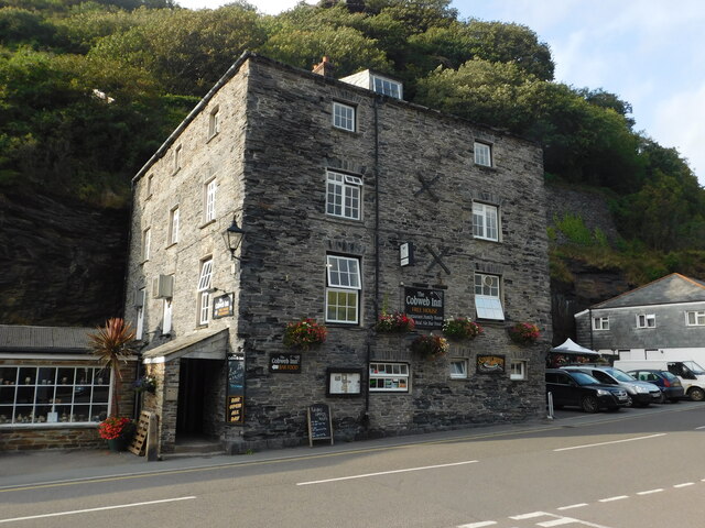
Images are sourced within 2km of 50.704318/-4.6808944 or Grid Reference SX1092. Thanks to Geograph Open Source API. All images are credited.


Beeny Cliff is located at Grid Ref: SX1092 (Lat: 50.704318, Lng: -4.6808944)
Unitary Authority: Cornwall
Police Authority: Devon and Cornwall
What 3 Words
///drop.unfocused.snowballs. Near Tintagel, Cornwall
Nearby Locations
Related Wikis

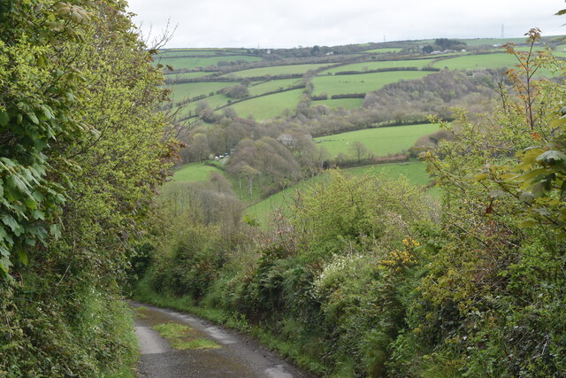
Beeny
Beeny is a hamlet in north Cornwall, England, UK. It lies in a sheltered valley near the coast two miles (3 km) northeast of Boscastle. == Literary... ==
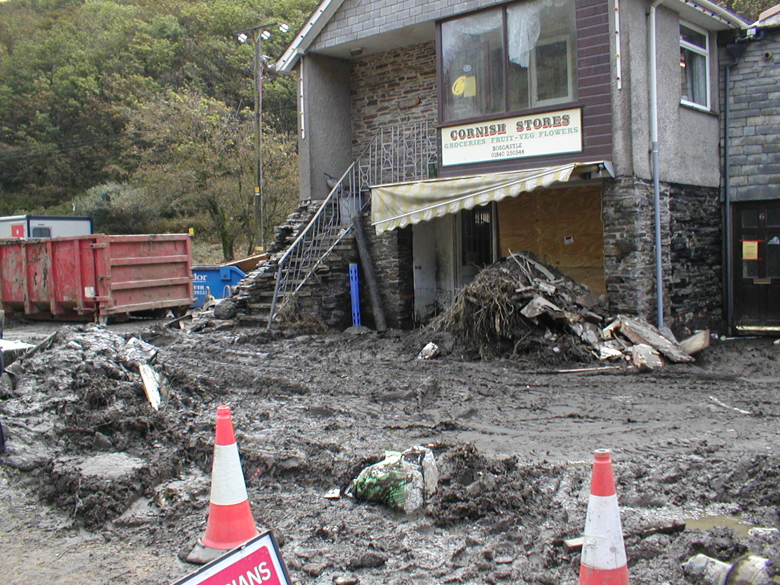
2004 Boscastle flood
The 2004 Boscastle flood (Cornish: An Lanwes Kastel Boterel 2004) occurred on Monday 16 August 2004 in the two villages of Boscastle and Crackington Haven...

Museum of Witchcraft and Magic
The Museum of Witchcraft and Magic, formerly known as the Museum of Witchcraft, is a museum dedicated to European witchcraft and magic located in the village...

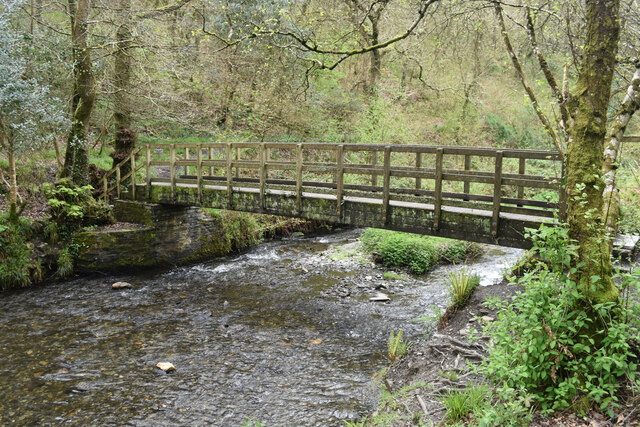
River Valency
The River Valency (Cornish: Dowr an Velinji) is a short river in north Cornwall, England, UK, with many small tributaries. After running past Lesnewth...
Nearby Amenities
Located within 500m of 50.704318,-4.6808944Have you been to Beeny Cliff?
Leave your review of Beeny Cliff below (or comments, questions and feedback).