Slochd a' Bhiorain
Cliff, Slope in Argyllshire
Scotland
Slochd a' Bhiorain
The requested URL returned error: 429 Too Many Requests
If you have any feedback on the listing, please let us know in the comments section below.
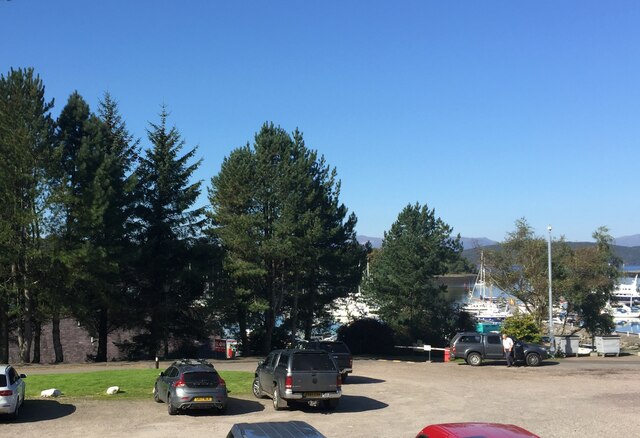
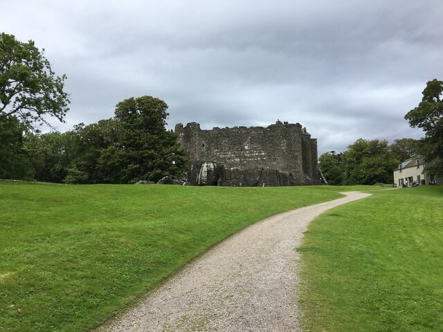
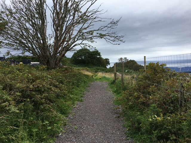
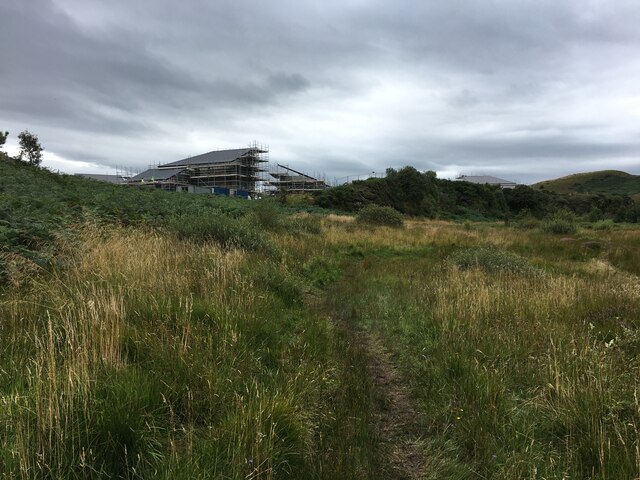
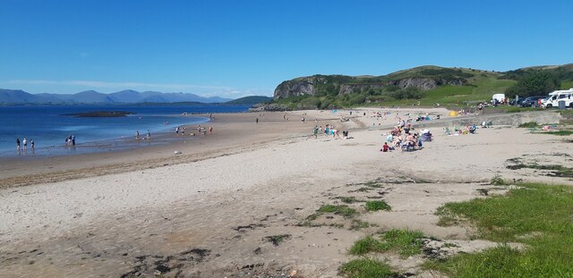
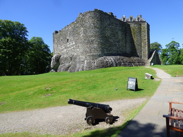
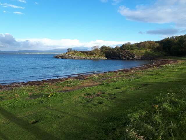
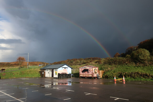
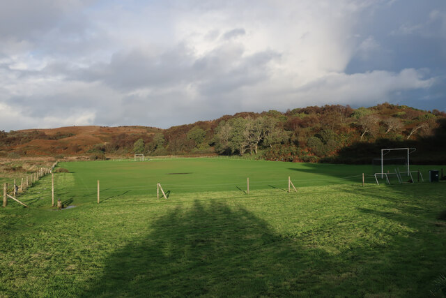
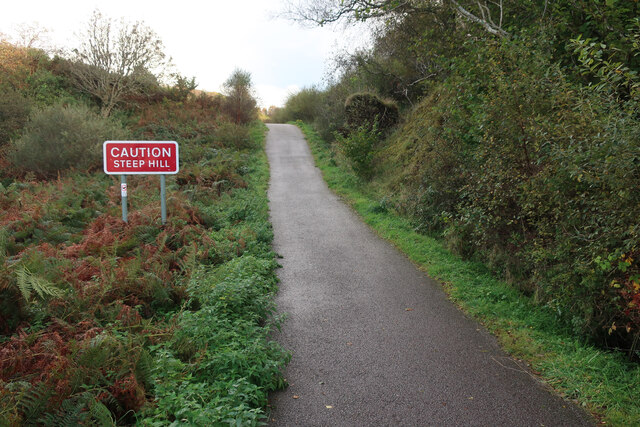
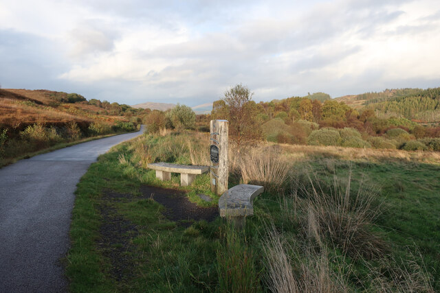
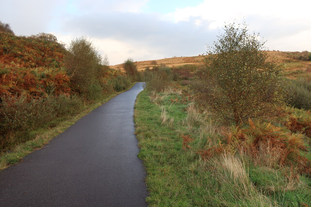
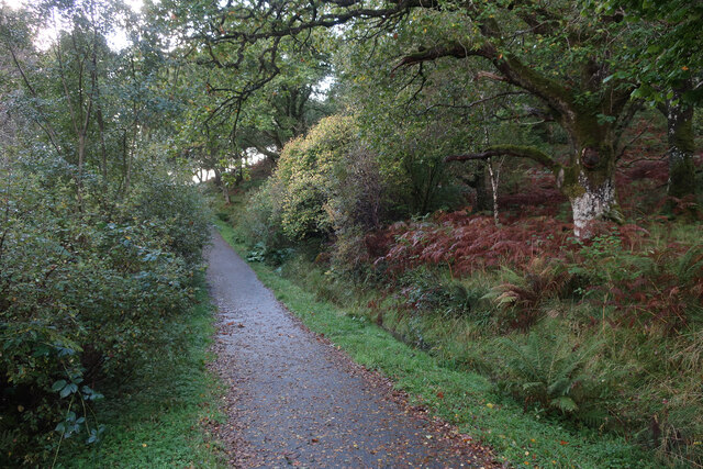
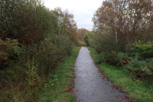
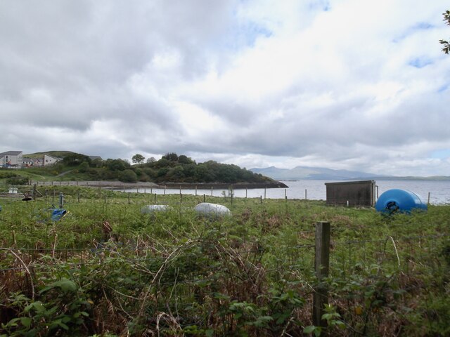
Slochd a' Bhiorain Images
Images are sourced within 2km of 56.44784/-5.4606028 or Grid Reference NM8633. Thanks to Geograph Open Source API. All images are credited.


Slochd a' Bhiorain is located at Grid Ref: NM8633 (Lat: 56.44784, Lng: -5.4606028)
Unitary Authority: Argyll and Bute
Police Authority: Argyll and West Dunbartonshire
What 3 Words
///comfort.stance.absorb. Near Oban, Argyll & Bute
Nearby Locations
Related Wikis
Dunbeg
Dunbeg (Scottish Gaelic: An Dùn Beag), formerly known as Dunstaffnage (Scottish Gaelic: Dùn Stafhainis or Dùn Staidhinis), is a village about 2+1⁄2 miles...

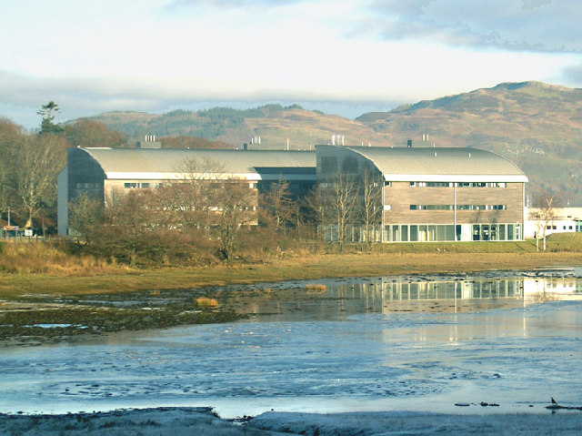
Scottish Association for Marine Science
The Scottish Association for Marine Science (SAMS) is one of Europe's leading marine science research organisations, one of the oldest oceanographic organisations...
Ganavan
Ganavan (Scottish Gaelic: A' Ghaineamh Bhàn) is a small settlement on Ganavan Bay on the west coast of Scotland, around 1.5 miles (2.4 km) north of the...

Pennyfuir Cemetery
Pennyfuir Cemetery is a cemetery in Oban, Argyll and Bute, Scotland. It was established in the 19th century.The cemetery contains 23 graves from the First...
Nearby Amenities
Located within 500m of 56.44784,-5.4606028Have you been to Slochd a' Bhiorain?
Leave your review of Slochd a' Bhiorain below (or comments, questions and feedback).