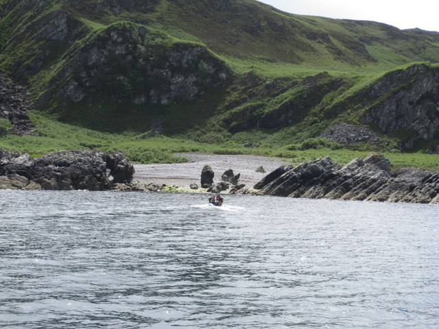
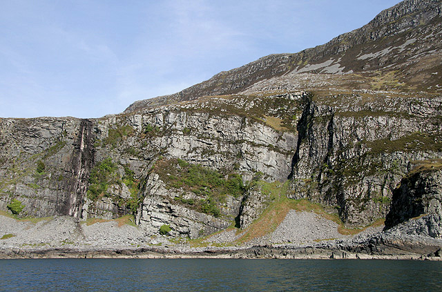
Creag an Eas
Cliff, Slope in Argyllshire
Scotland
Creag an Eas
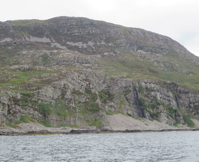
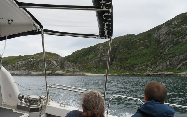
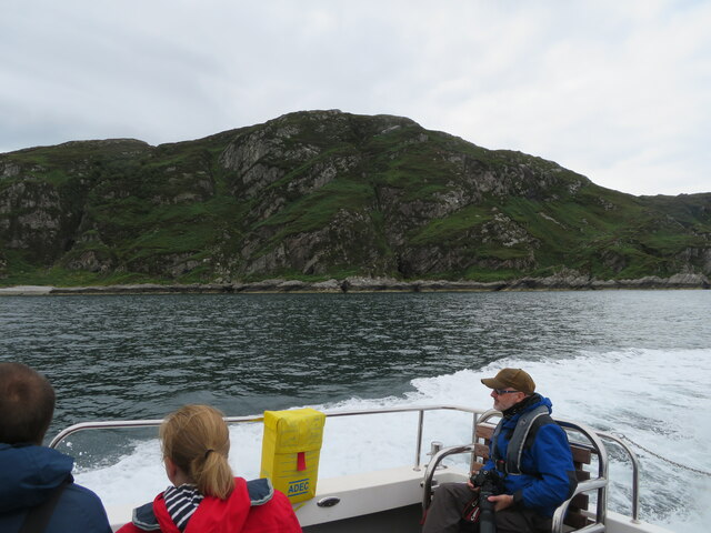
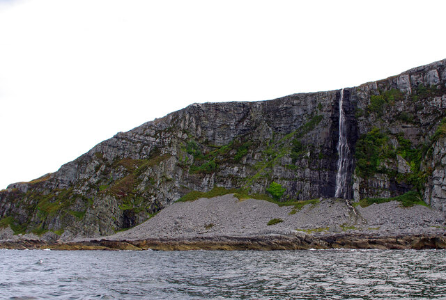
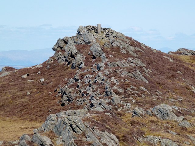
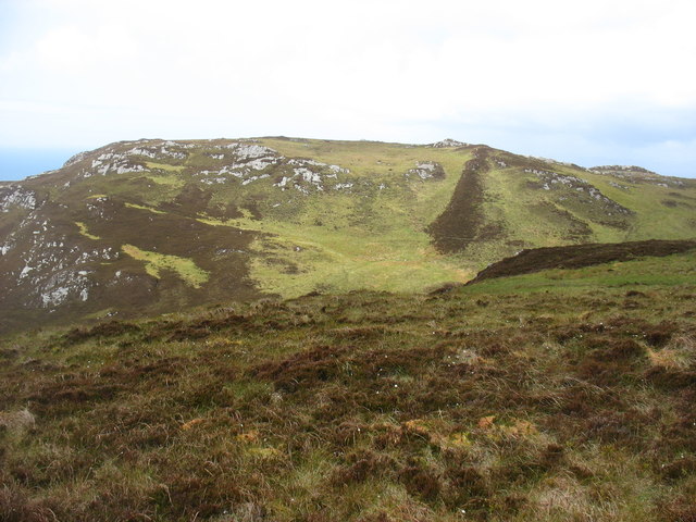
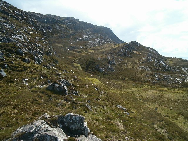
Creag an Eas, located in Argyllshire, Scotland, is a stunning cliff and slope formation that offers breathtaking natural beauty and panoramic views. Rising majestically from the surrounding landscape, Creag an Eas is a popular destination for nature enthusiasts, hikers, and photographers.
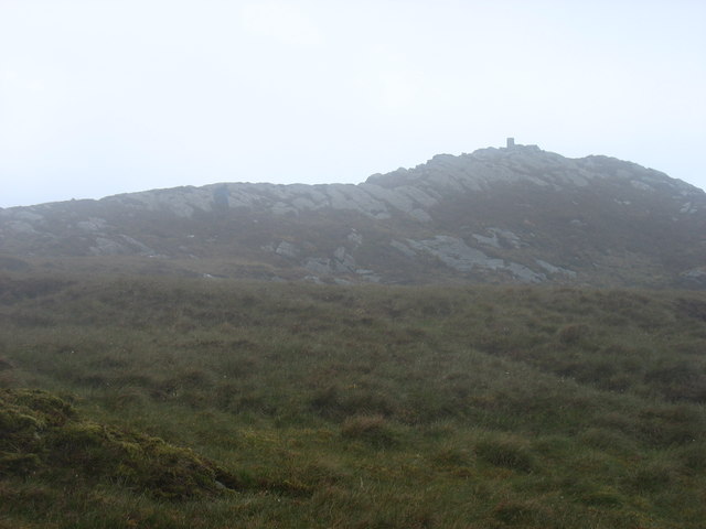
The cliff stands tall, reaching heights of several hundred feet, and features rugged, jagged edges that have been carved over thousands of years by natural forces like wind and water. Its sheer vertical drop creates an awe-inspiring sight, leaving visitors feeling a sense of awe and wonder.
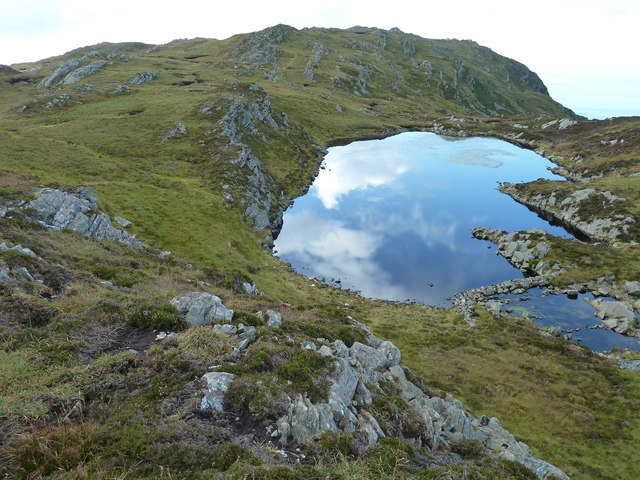
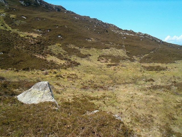
The slope of Creag an Eas is covered in lush vegetation, with vibrant green grasses and a variety of wildflowers dotting the landscape. The slope provides a picturesque setting against the backdrop of the cliff, creating a harmonious balance of colors and textures.
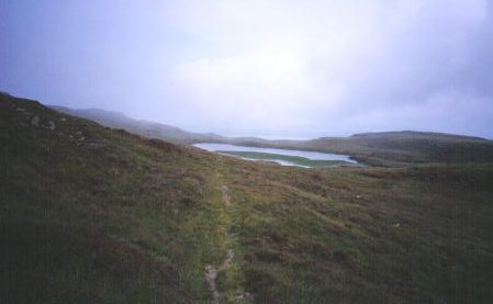
The area surrounding Creag an Eas is teeming with diverse wildlife, including various bird species, small mammals, and even the occasional deer. It serves as a sanctuary for these creatures, providing them with a natural habitat to thrive in.
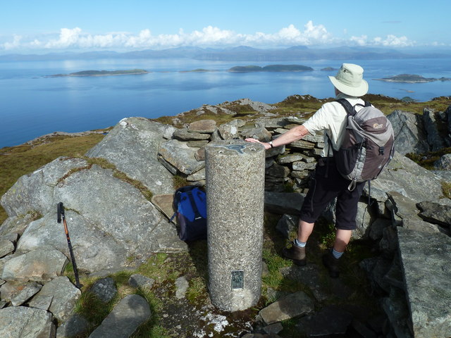
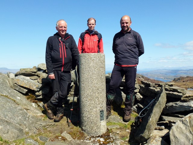
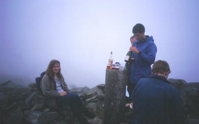
Visitors to Creag an Eas can indulge in a range of outdoor activities, such as hiking, rock climbing, and bird-watching. The cliff offers opportunities for experienced climbers to test their skills, while the slope provides a more accessible terrain for beginners and casual walkers.
Creag an Eas is truly a natural wonder, showcasing the raw beauty of the Scottish Highlands. Its magnificent cliff and slope formations, combined with its rich flora and fauna, make it a must-visit destination for those seeking an immersive and unforgettable experience in the heart of nature.
If you have any feedback on the listing, please let us know in the comments section below.
Creag an Eas Images
Images are sourced within 2km of 56.182396/-5.7310281 or Grid Reference NM6805. Thanks to Geograph Open Source API. All images are credited.
Creag an Eas is located at Grid Ref: NM6805 (Lat: 56.182396, Lng: -5.7310281)
Unitary Authority: Argyll and Bute
Police Authority: Argyll and West Dunbartonshire
What 3 Words
///definite.touched.nudge. Near Lochbuie, Argyll & Bute
Nearby Locations
Related Wikis

Scarba
Scarba (Scottish Gaelic: Sgarba) is an island, in Argyll and Bute, Scotland, just north of the much larger island of Jura. The island has not been permanently...

Gulf of Corryvreckan
The Gulf of Corryvreckan (from the Gaelic Coire Bhreacain, meaning 'cauldron of the speckled seas' or 'cauldron of the plaid'), also called the Strait...

Lunga, Firth of Lorn
Lunga is one of the Slate Islands in the Firth of Lorn in Argyll and Bute, Scotland. The "Grey Dog" tidal race, which runs in the sea channel to the south...
Scarba, Lunga and the Garvellachs National Scenic Area
Scarba, Lunga and the Garvellachs is the name of one of the 40 national scenic areas of Scotland. The designated area covers the islands of Scarba, Lunga...

Eilean Dubh Mòr
Eilean Dubh Mòr (Scottish Gaelic: big black island) is an uninhabited island in the Inner Hebrides of Scotland. It lies at the mouth of the Firth of Lorn...

Eileach an Naoimh
Eileach an Naoimh, also known as Holy Isle, is an uninhabited island in the Inner Hebrides of the west coast of Scotland. It is the southernmost of the...
Garvellachs
The Garvellachs (Scottish Gaelic: Garbh Eileaich) or Isles of the Sea form a small archipelago in the Inner Hebrides of Scotland. Part of the Argyll and...

Kinuachdrachd
Kinuachdrachd or Kinuachdrach is a place about 22 miles from Craighouse on the island of Jura, in the council area of Argyll and Bute, Scotland. It comprises...
Have you been to Creag an Eas?
Leave your review of Creag an Eas below (or comments, questions and feedback).