Badsworth

Settlement in Yorkshire

England

Badsworth

Upton ROC post <span class="nowrap"><a title="https://www.subbrit.org.uk/sites/upton-roc-post/" rel="nofollow ugc noopener" href="https://www.subbrit.org.uk/sites/upton-roc-post/">Link</a><img style="margin-left:2px;" alt="External link" title="External link - shift click to open in new window" src="https://s1.geograph.org.uk/img/external.png" width="10" height="10"/></span>
Upton ROC post Credit: thejackrustles

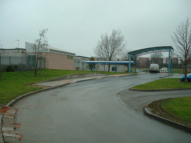
Badsworth is a small village located in the metropolitan borough of Wakefield, West Yorkshire, England. Situated approximately 7 miles southeast of the city of Wakefield, Badsworth lies on the eastern edge of the Yorkshire coalfield. The village is located on the A639 road, which connects it to the nearby towns of Pontefract and Castleford.

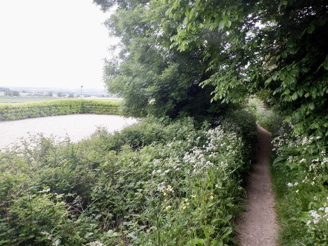
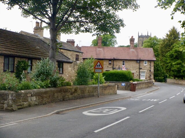
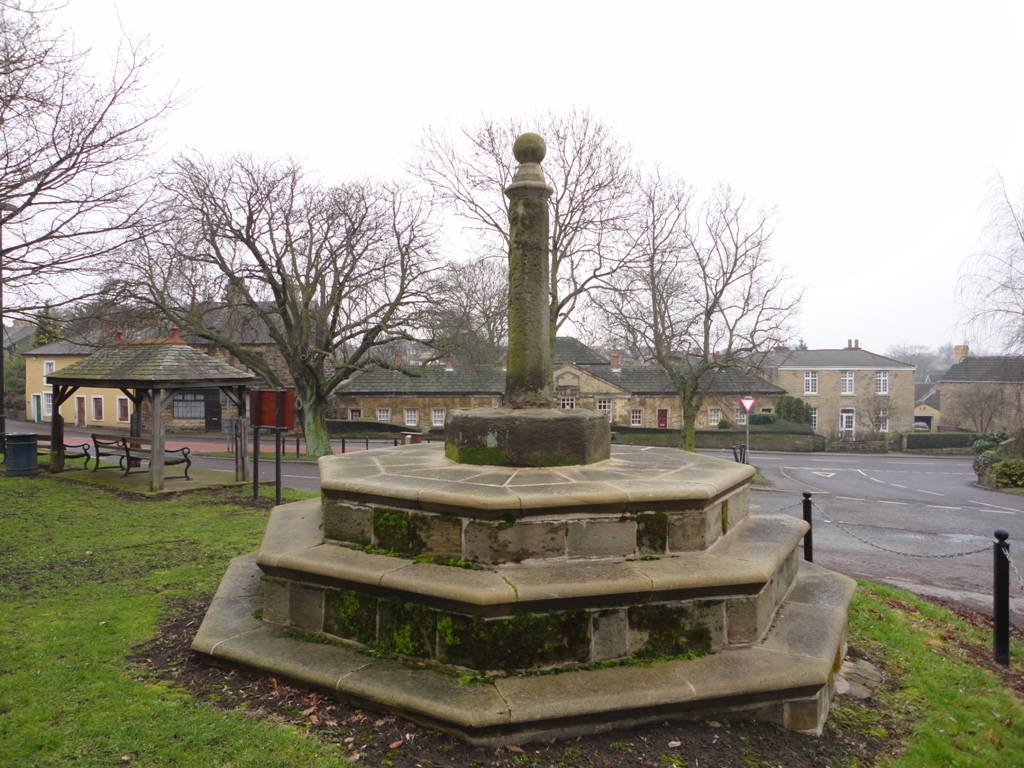
With a population of around 500 residents, Badsworth is known for its picturesque countryside and charming rural atmosphere. The village features a mix of traditional stone-built cottages and more modern housing, which creates a diverse architectural landscape. The surrounding farmland adds to the village's rural character, and the rolling hills provide stunning views of the Yorkshire countryside.

Badsworth is home to the 12th-century All Saints Church, a Grade II listed building that showcases impressive Norman architecture. The church serves as a focal point for the community and hosts regular services and events. The village also has a primary school, offering education for children up to the age of 11.

While small in size, Badsworth offers a close-knit community spirit, with various local clubs and societies bringing residents together. The village has a community hall that serves as a venue for social gatherings and events. Additionally, the nearby market towns of Pontefract and Castleford provide a range of amenities and services for residents, including shops, supermarkets, and leisure facilities.

Overall, Badsworth provides a tranquil and idyllic countryside setting, making it an attractive place to live for those seeking a peaceful village lifestyle within easy reach of larger towns and cities.

If you have any feedback on the listing, please let us know in the comments section below.
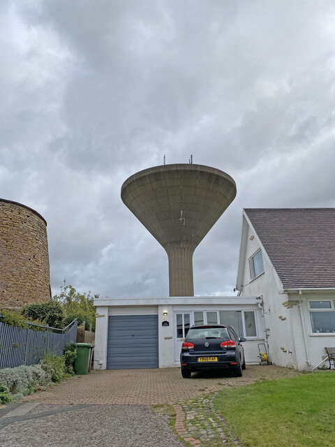
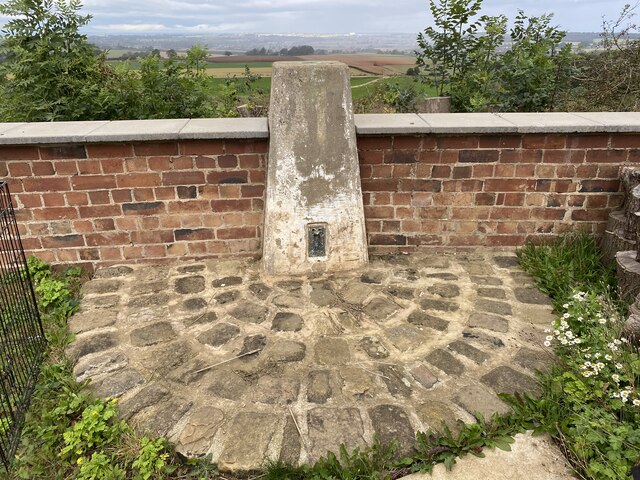
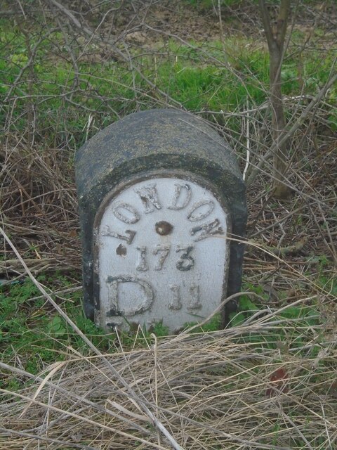
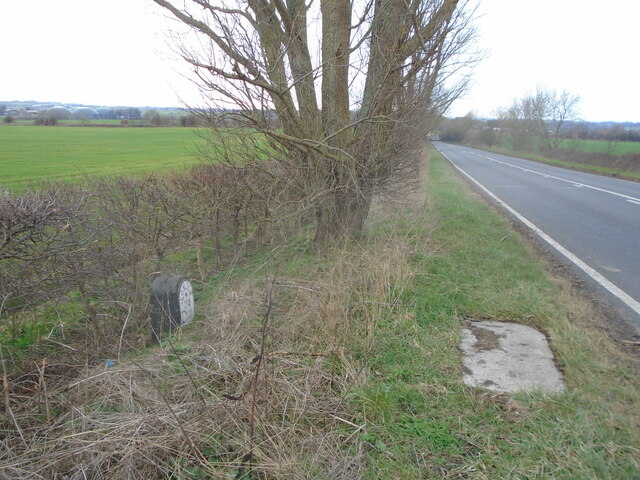
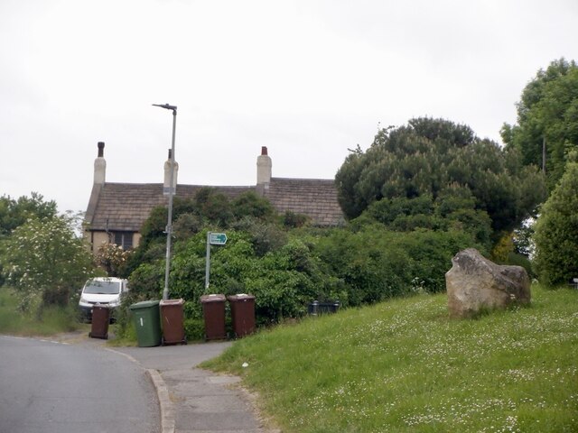
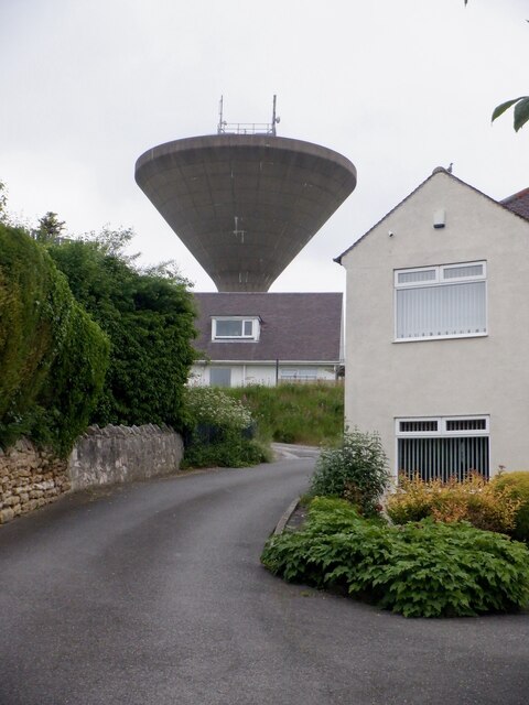
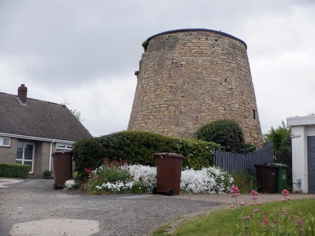
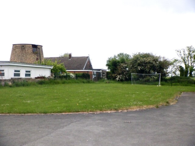
Badsworth Images

Images are sourced within 2km of 53.629474/-1.302965 or Grid Reference SE4614. Thanks to Geograph Open Source API. All images are credited.

Upton ROC post <span class="nowrap"><a title="https://www.subbrit.org.uk/sites/upton-roc-post/" rel="nofollow ugc noopener" href="https://www.subbrit.org.uk/sites/upton-roc-post/">Link</a><img style="margin-left:2px;" alt="External link" title="External link - shift click to open in new window" src="https://s1.geograph.org.uk/img/external.png" width="10" height="10"/></span>
Upton ROC post
Upton Water Tower <span class="nowrap"><a title="http://trigpointing.uk/trig/13053" rel="nofollow ugc noopener" href="http://trigpointing.uk/trig/13053">Link</a><img style="margin-left:2px;" alt="External link" title="External link - shift click to open in new window" src="https://s1.geograph.org.uk/img/external.png" width="10" height="10"/></span>
Upton Water Tower
Upton Beacon Connecting Point Trig Point Flush Bracket S1743
Old milestone One of the three remaining plated milestones from the 11.7 miles Red House (north of Doncaster) to Crofton (east of Wakefield) tollroad first enacted in 1741.  Although difficult to spot in summer as it is down a banking it is behind a British Telecom cover in the verge.  When first found several years  ago there was a crack in the top of the stone but it was repaired with cement and painted black.   Now the lettering needs sprucing up.  W 9 is below D 11.  The plate is held on by two rivets.
Old milestone
One of the three remaining plated milestones from the 11.7 miles Red House (north of Doncaster) to Crofton (east of Wakefield) tollroad first enacted in 1741. Although difficult to spot in summer as it is down a banking it is behind a British Telecom cover in the verge. When first found several years ago there was a crack in the top of the stone but it was repaired with cement and painted black. Now the lettering needs sprucing up. W 9 is below D 11. The plate is held on by two rivets.
Old milestone The position of the milestone in relation to the British Telecom cover and the hill down and under the railway bridge.   The hill down Doncaster Road towards Ackworth is steeper than it looks in this photograph.
Old milestone
The position of the milestone in relation to the British Telecom cover and the hill down and under the railway bridge. The hill down Doncaster Road towards Ackworth is steeper than it looks in this photograph.
Upper Beacon, Upton
Upper Beacon, Upton
Beacon Hill, Upton The road to the water tower.
Beacon Hill, Upton
The road to the water tower.
Upton Tower Mill A windmill on Beacon Hill.
Upton Tower Mill
A windmill on Beacon Hill.
Summit area, Beacon Hill Between the water tower and ruined windmill. A nearby triangulation pillar has been removed to a nearby garden.
Summit area, Beacon Hill
Between the water tower and ruined windmill. A nearby triangulation pillar has been removed to a nearby garden.
Path, Upton Beacon To Rodgerthorpe
Path, Upton Beacon
To Rodgerthorpe
Main Street, Badsworth
Rogerthorpe Manor Hotel A former manor house, with a history going back to the 17th century, which became an exclusive membership club after the second world war and is now a hotel.  The original Manor on the left of the conservatory is a grade II listed building - see <span class="nowrap"><a title="https://historicengland.org.uk/listing/the-list/list-entry/1235465?section=official-list-entry" rel="nofollow ugc noopener" href="https://historicengland.org.uk/listing/the-list/list-entry/1235465?section=official-list-entry">Link</a><img style="margin-left:2px;" alt="External link" title="External link - shift click to open in new window" src="https://s1.geograph.org.uk/img/external.png" width="10" height="10"/></span> .
Rogerthorpe Manor Hotel
A former manor house, with a history going back to the 17th century, which became an exclusive membership club after the second world war and is now a hotel. The original Manor on the left of the conservatory is a grade II listed building - see LinkExternal link .
The House Door Original entrance to Rogerthorpe Manor, see <a href="https://www.geograph.org.uk/photo/7654690">SE4615 : Rogerthorpe Manor Hotel</a>.
The House Door
Original entrance to Rogerthorpe Manor, see SE4615 : Rogerthorpe Manor Hotel.
Blue Plaque Historical marker from the Pontefract Civic Society, seen in situ on Rogerthorpe Manor Hotel in <a href="https://www.geograph.org.uk/photo/7654703">SE4615 : The House Door</a>.
Blue Plaque
Historical marker from the Pontefract Civic Society, seen in situ on Rogerthorpe Manor Hotel in SE4615 : The House Door.
Rogerthorpe Manor Hotel The modern hotel entrance is in what used to be a courtyard behind the old manor house.  This is a grade II listed building - see <span class="nowrap"><a title="https://historicengland.org.uk/listing/the-list/list-entry/1235465?section=official-list-entry" rel="nofollow ugc noopener" href="https://historicengland.org.uk/listing/the-list/list-entry/1235465?section=official-list-entry">Link</a><img style="margin-left:2px;" alt="External link" title="External link - shift click to open in new window" src="https://s1.geograph.org.uk/img/external.png" width="10" height="10"/></span> .
Rogerthorpe Manor Hotel
The modern hotel entrance is in what used to be a courtyard behind the old manor house. This is a grade II listed building - see LinkExternal link .
Tree by the car park The hotel car park at <a href="https://www.geograph.org.uk/photo/7654690">SE4615 : Rogerthorpe Manor Hotel</a>, with autumnal tree.
Tree by the car park
The hotel car park at SE4615 : Rogerthorpe Manor Hotel, with autumnal tree.
A rural  bus stop Bus stop at the gate of the Rogerthorpe Manor Hotel.  Route 39 from  Barnsley to Pontefract plies this route.
A rural bus stop
Bus stop at the gate of the Rogerthorpe Manor Hotel. Route 39 from Barnsley to Pontefract plies this route.
Rogerthorpe Manor Farm A collection of barns, one in less than pristine condition.
Rogerthorpe Manor Farm
A collection of barns, one in less than pristine condition.
Show me another place!

Badsworth is located at Grid Ref: SE4614 (Lat: 53.629474, Lng: -1.302965)

Division: West Riding

Unitary Authority: Wakefield

Police Authority: West Yorkshire

What 3 Words

///rivals.coherent.funds. Near Badsworth, West Yorkshire

Nearby Locations

Badsworth

Related Wikis

Ackworth, North Elmsall and Upton

Ackworth, North Elmsall and Upton is an electoral ward of the City of Wakefield district used for elections to Wakefield Metropolitan District Council...

Badsworth

Badsworth is a village and civil parish in the City of Wakefield metropolitan borough in West Yorkshire, England. According to the 2001 census it had a...

Upton, West Yorkshire

Upton is a village and civil parish in West Yorkshire, England. It had a population of 3,541 in the 2001 census.It is situated south of Badsworth and...

Thorpe Audlin

Thorpe Audlin is a hamlet and civil parish in the City of Wakefield in West Yorkshire, England. The population of the civil parish at the 2011 census was...

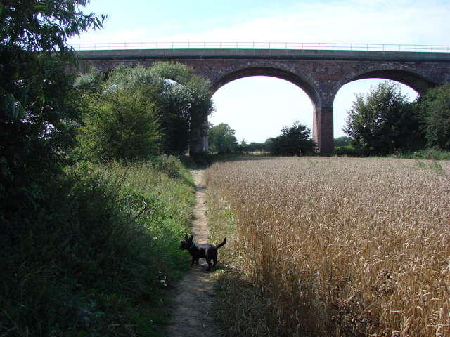
Six Arches, Ackworth

The Six Arches is a railway viaduct in Ackworth, West Yorkshire, England, named after its design. It carries the Pontefract to Rotherham line over the...

Oakfield Park School

Oakfield Park School (formerly OakTree School) is a coeducational special school in Ackworth, West Yorkshire, England.In early 2000s Oakfield Tree School...

Upton and North Elmsall railway station

Upton and North Elmsall railway station, was a railway station on the Hull and Barnsley Railway (H&B) in Yorkshire, England. The station served the villages...

Ackworth, West Yorkshire

Ackworth is a village and civil parish in the metropolitan borough of Wakefield, West Yorkshire, England. It stands between Pontefract, Barnsley and Doncaster...

Nearby Amenities

Located within 500m of 53.629474,-1.302965
Badsworth
Is In: West Yorkshire, England, UK
Place: village
Wikidata: Q2646554
Wikipedia: en:Badsworth
Lat/Long: 53.6287424/-1.3018331
Mini Roundabout
Lat/Long: 53.627094/-1.2969075
Created By: Merkaartor 0.12
Lat/Long: 53.629195/-1.2955
Created By: Merkaartor 0.12
Lat/Long: 53.6293838/-1.2954586
Bus Stop
Badsworth Church High Farm Meadow
Local Ref: 45016464
Naptan AtcoCode: 450016464
Naptan Bearing: NW
Naptan CommonName: Badsworth Church High Farm Meadow
Naptan Crossing: High Farm Meadow
Naptan Indicator: Stop 45016464
Naptan PlusbusZoneRef: LEEDS
Naptan ShortCommonName: Badsworth Church
Naptan Street: Main Street
Naptan Verified: no
Source: naptan_import
Lat/Long: 53.6279364/-1.299177
Bus Stop
Badsworth Church Junior School
Local Ref: 45016465
Naptan AtcoCode: 450016465
Naptan Bearing: E
Naptan CommonName: Badsworth Church Junior School
Naptan Crossing: Badsworth CE Junior & Infant School
Naptan Indicator: Stop 45016465
Naptan Landmark: School
Naptan PlusbusZoneRef: LEEDS
Naptan ShortCommonName: Badsworth Church
Naptan Street: Main Street
Naptan Verified: no
Source: naptan_import
Lat/Long: 53.628708/-1.3004647
Bus Stop
New Road Back Lane
Local Ref: 45016466
Naptan AtcoCode: 450016466
Naptan Bearing: NE
Naptan CommonName: New Road Back Lane
Naptan Crossing: Back Lane
Naptan Indicator: Stop 45016466
Naptan PlusbusZoneRef: LEEDS
Naptan ShortCommonName: Back Lane
Naptan Street: New Road
Naptan Verified: no
Source: naptan_import
Lat/Long: 53.6293917/-1.3036441
Bus Stop
New Road Back Lane
Local Ref: 45016467
Naptan AtcoCode: 450016467
Naptan Bearing: SW
Naptan CommonName: New Road Back Lane
Naptan Crossing: Back Lane
Naptan Indicator: Stop 45016467
Naptan PlusbusZoneRef: LEEDS
Naptan ShortCommonName: Back Lane
Naptan Street: New Road
Naptan Verified: no
Source: naptan_import
Lat/Long: 53.6292755/-1.3037519
Post Box
Operator: Royal Mail
Post Box Type: pillar
Ref: WF9 32
Lat/Long: 53.6287114/-1.3012435
Crossing
Badsworth Way
Crossing: unmarked
Lat/Long: 53.629194/-1.3000749
The data included in this document is from www.openstreetmap.org. The data is made available under ODbL.

Have you been to Badsworth?

Leave your review of Badsworth below (or comments, questions and feedback).