Slac nan Robair
Cliff, Slope in Argyllshire
Scotland
Slac nan Robair
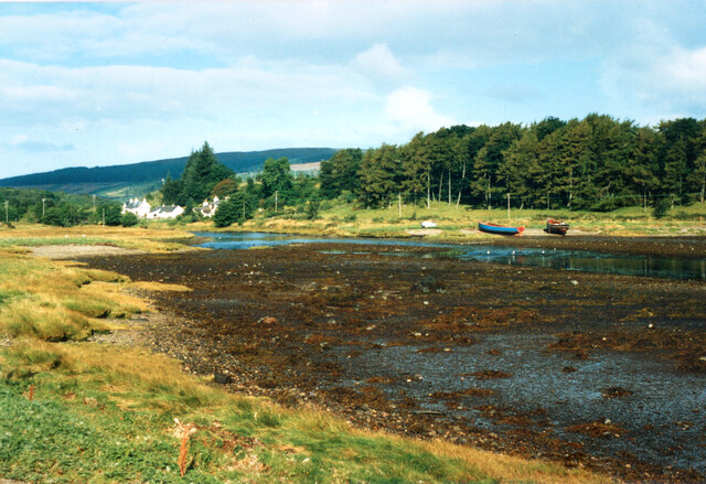
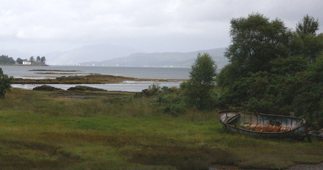
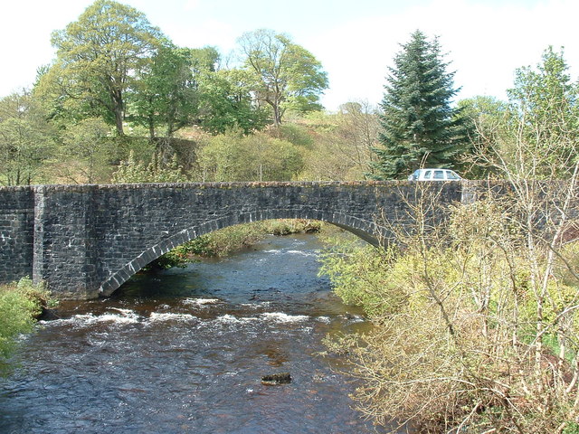
Slac nan Robair is a stunning cliff located in Argyllshire, Scotland. This cliff is known for its dramatic sloping landscape and breathtaking views of the surrounding countryside. The cliff is made up of rugged rock formations and steep slopes, making it a popular destination for hikers and outdoor enthusiasts looking to challenge themselves with a strenuous climb.
The name Slac nan Robair translates to "slope of the robber" in Gaelic, which reflects the rugged and wild nature of this cliff. The cliff is surrounded by lush greenery and offers panoramic views of the surrounding mountains and valleys.
Visitors to Slac nan Robair can enjoy a challenging hike to the summit, where they will be rewarded with stunning views of the Argyllshire countryside. The cliff is also home to a variety of wildlife, including birds of prey and rare plant species.
Overall, Slac nan Robair is a must-visit destination for those looking to experience the natural beauty and rugged landscapes of Argyllshire.
If you have any feedback on the listing, please let us know in the comments section below.
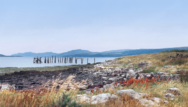
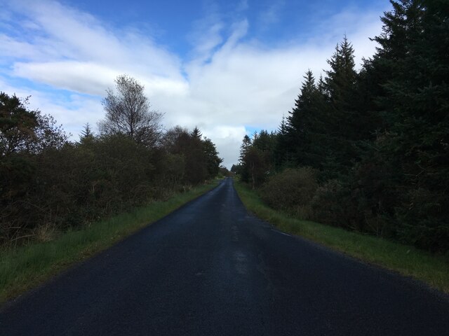
Slac nan Robair Images
Images are sourced within 2km of 56.521881/-5.9559708 or Grid Reference NM5643. Thanks to Geograph Open Source API. All images are credited.


Slac nan Robair is located at Grid Ref: NM5643 (Lat: 56.521881, Lng: -5.9559708)
Unitary Authority: Argyll and Bute
Police Authority: Argyll and West Dunbartonshire
What 3 Words
///squabbles.intersect.stub. Near Salen, Argyll & Bute
Nearby Locations
Related Wikis

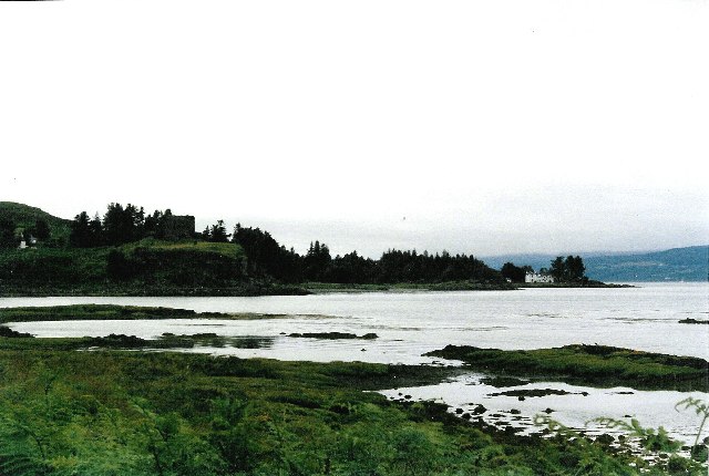
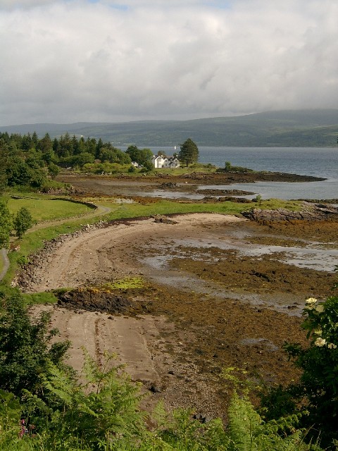
Salen, Mull
Salen (Scottish Gaelic: An t-Sàilean) is a settlement on the Isle of Mull, Scotland. It is on the east coast of the island, on the Sound of Mull, approximately...

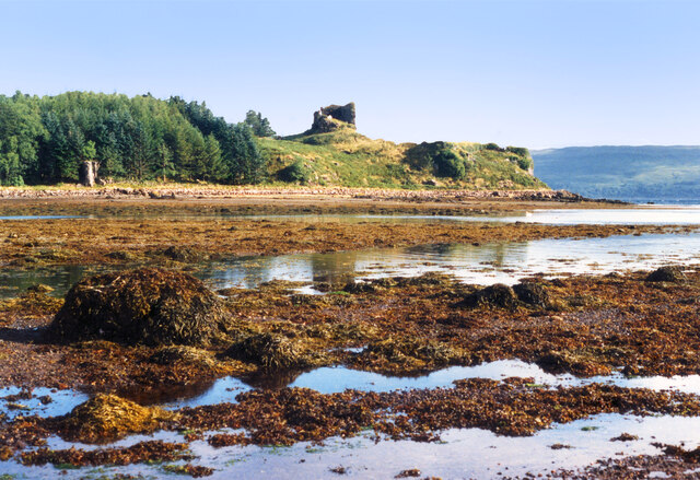
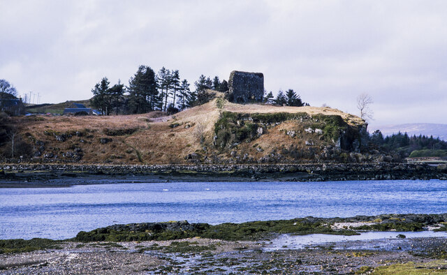
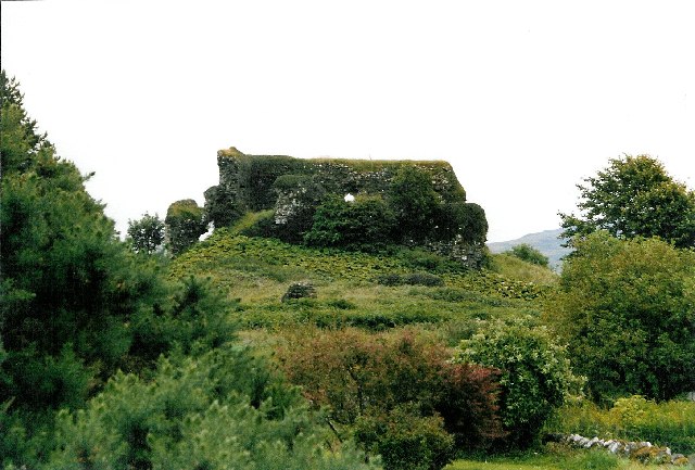
Aros Castle
Aros Castle, also known as Dounarwyse Castle, is a ruined 13th-century castle near Salen on the Isle of Mull, Scotland. The castle overlooks the Sound...

Great Mull Air Mystery
The Great Mull Air Mystery is the name given by the media to the disappearance of pilot Peter Gibbs on 24 December 1975 after he took an unscheduled solo...
SS Rondo
SS Rondo was a steam cargo ship. She was built by Tampa Shipbuilding & Drydock Company of Florida for the British government under the name War Wonder...
Nearby Amenities
Located within 500m of 56.521881,-5.9559708Have you been to Slac nan Robair?
Leave your review of Slac nan Robair below (or comments, questions and feedback).