Burthallan Cliff
Cliff, Slope in Cornwall
England
Burthallan Cliff
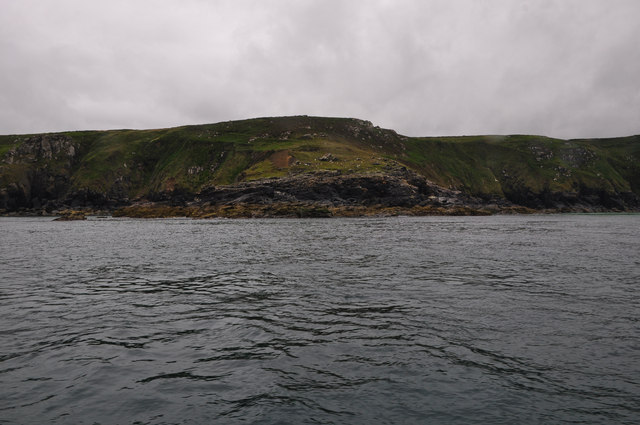
Burthallan Cliff is a stunning natural formation located in Cornwall, England. Situated on the southwestern coast of the country, this cliff offers breathtaking views and is a popular destination for nature enthusiasts and tourists alike.
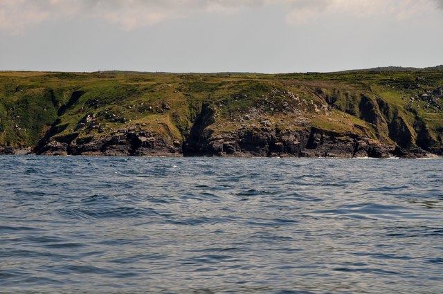
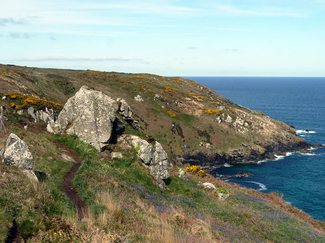
Rising to a height of approximately 200 feet above sea level, Burthallan Cliff boasts a dramatic and rugged appearance. Its sheer vertical face is composed of layers of sedimentary rock, showcasing the geological history of the area. The cliff is predominantly made up of sandstone, which has been shaped over millions of years by the powerful forces of erosion and weathering.
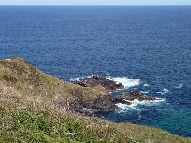
One of the most striking features of Burthallan Cliff is its unique coloration. The sandstone displays a range of warm hues, including shades of red, orange, and yellow, creating a visually striking contrast against the turquoise waters of the Atlantic Ocean below.
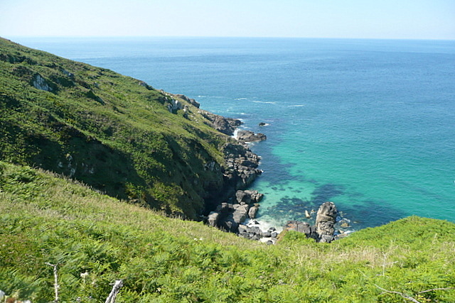
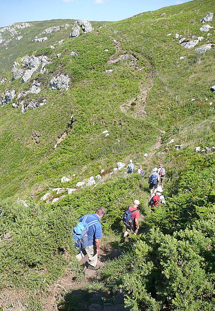
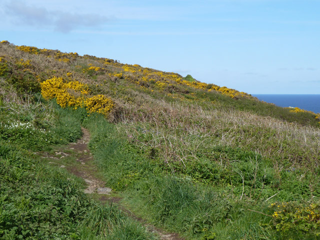
The cliff is flanked by lush vegetation, with hardy plants clinging to its crevices and ledges. Visitors can enjoy the sight of wildflowers and grasses swaying in the coastal breeze, adding to the natural beauty of the area.
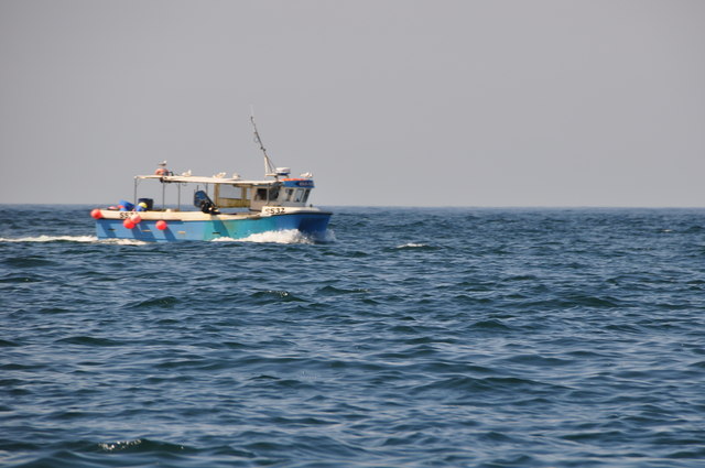
Burthallan Cliff also offers panoramic views of the surrounding landscape. From its vantage point, visitors can admire the expansive coastline, with its golden sandy beaches, rocky outcrops, and crashing waves. On clear days, the view extends as far as the eye can see, with the distant horizon dotted by sailing boats and seagulls.
Overall, Burthallan Cliff is a remarkable natural wonder, combining geological significance, vibrant colors, and breathtaking views. It is a must-visit destination for those seeking to immerse themselves in the beauty and grandeur of Cornwall's coastal landscapes.
If you have any feedback on the listing, please let us know in the comments section below.
Burthallan Cliff Images
Images are sourced within 2km of 50.218415/-5.4953639 or Grid Reference SW5041. Thanks to Geograph Open Source API. All images are credited.


Burthallan Cliff is located at Grid Ref: SW5041 (Lat: 50.218415, Lng: -5.4953639)
Unitary Authority: Cornwall
Police Authority: Devon and Cornwall
What 3 Words
///approach.purifier.spreading. Near St Ives, Cornwall
Nearby Locations
Related Wikis

SS Alba
SS Alba was a Panamanian-registered ship owned by Burger B. that sank off St Ives in Cornwall, England on 31 January 1938. == Shipwreck == Alba was seeking...

Alfred Wallis
Alfred Wallis (18 August 1855 – 29 August 1942) was a British fisherman and artist known for his port landscapes and shipping scenes painted in a naïve...

Tate St Ives
Tate St Ives is an art gallery in St Ives, Cornwall, England, exhibiting work by modern British artists with links to the St Ives area. The Tate also took...
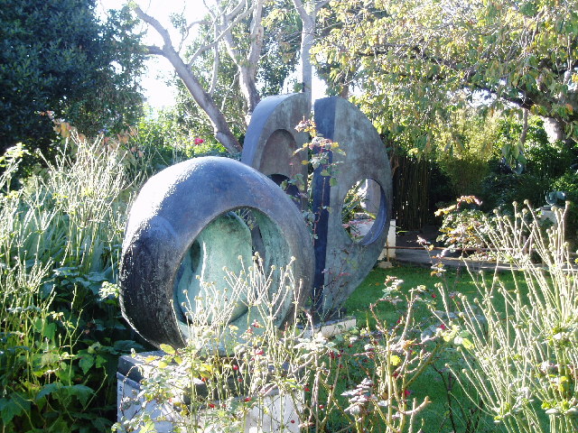
Barbara Hepworth Museum
The Barbara Hepworth Museum and Sculpture Garden in St Ives, Cornwall preserves the 20th-century sculptor Barbara Hepworth's studio and garden much as...
Nearby Amenities
Located within 500m of 50.218415,-5.4953639Have you been to Burthallan Cliff?
Leave your review of Burthallan Cliff below (or comments, questions and feedback).