Cruinn-leum

Cliff, Slope in Argyllshire

Scotland

Cruinn-leum
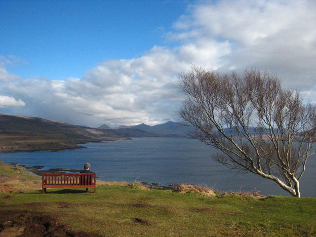
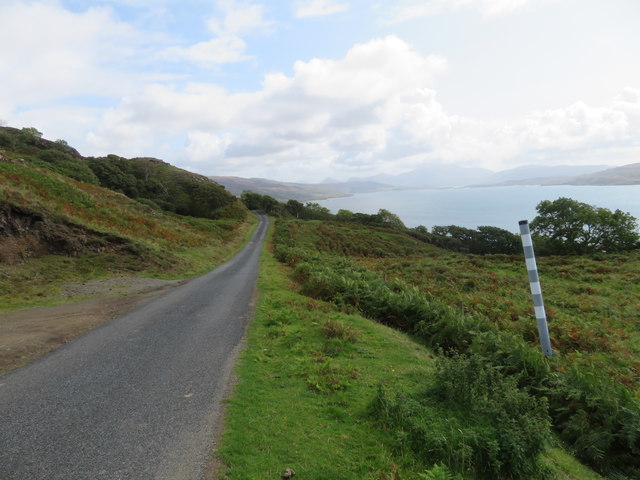
A seat with a view Beside the B8073 near Tostary, overlooking Loch Tuath.
A seat with a view Credit: Rod Allday

The requested URL returned error: 429 Too Many Requests

If you have any feedback on the listing, please let us know in the comments section below.

Cruinn-leum Images

Images are sourced within 2km of 56.524475/-6.2636596 or Grid Reference NM3745. Thanks to Geograph Open Source API. All images are credited.
A seat with a view Beside the B8073 near Tostary, overlooking Loch Tuath.
A seat with a view
Beside the B8073 near Tostary, overlooking Loch Tuath.
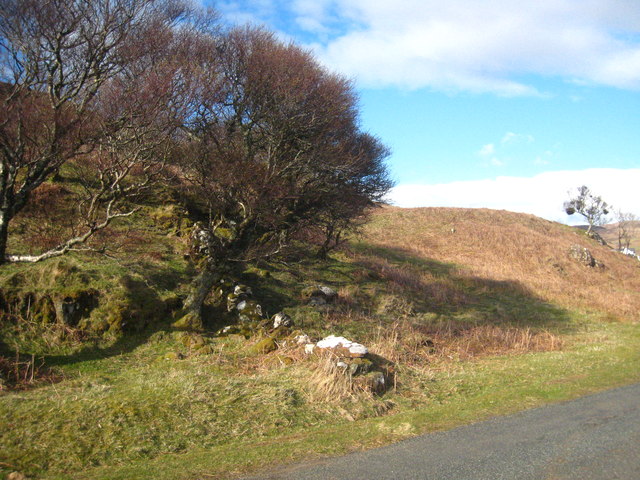
Old stone boundary wall beside the B8073 near Tostary
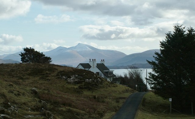
View over Burg, North-West Mull The view over Burg in North-West Mull towards distant Ben More.
View over Burg, North-West Mull
The view over Burg in North-West Mull towards distant Ben More.
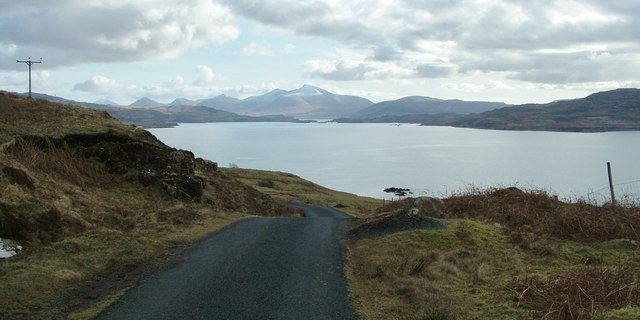
Loch Tuath and Ben More View from below Burg over Loch Tuath and towards Ben More. North-West Mull.
Loch Tuath and Ben More
View from below Burg over Loch Tuath and towards Ben More. North-West Mull.
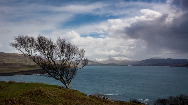
Tree overlooking Loch Tuath Bad weather approaching Ben More
Tree overlooking Loch Tuath
Bad weather approaching Ben More
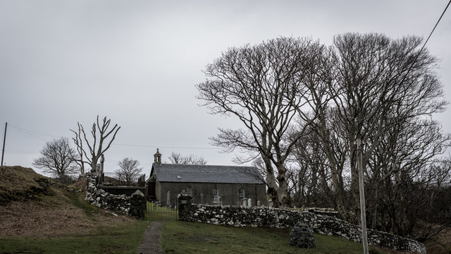
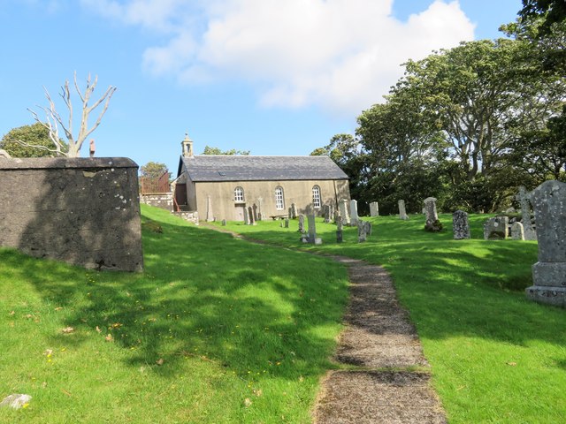
Kilninian Kirk
Kilninian Kirk
Kilninian Kirk The current church building at Kilninian dates from 1755, probably replacing a mediaeval church on the same site, which itself may have had early historical or prehistoric precedents. A mediaeval date at least is attested by 14th-century grave slabs found on the site.
Kilninian Kirk
The current church building at Kilninian dates from 1755, probably replacing a mediaeval church on the same site, which itself may have had early historical or prehistoric precedents. A mediaeval date at least is attested by 14th-century grave slabs found on the site.
Maclean's Monument A monument to Allan Maclean of Torloisk. As a Jacobite soldier the fought at Fort William and Culloden. Exiled he fought with the Dutch during the wars of Austrian Succession. Again changing tack he enlisted in the British Army taking part in the Siege of Quebec with Wolfe. He remained a career soldier reaching the rank of Brigadier General.
Maclean's Monument
A monument to Allan Maclean of Torloisk. As a Jacobite soldier the fought at Fort William and Culloden. Exiled he fought with the Dutch during the wars of Austrian Succession. Again changing tack he enlisted in the British Army taking part in the Siege of Quebec with Wolfe. He remained a career soldier reaching the rank of Brigadier General.
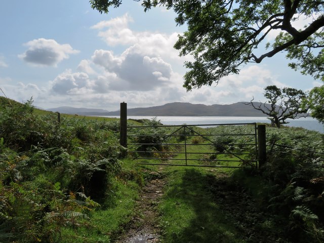
Gateway to Tuath A gate across a farm track with Loch Tuath behind the field.
Gateway to Tuath
A gate across a farm track with Loch Tuath behind the field.
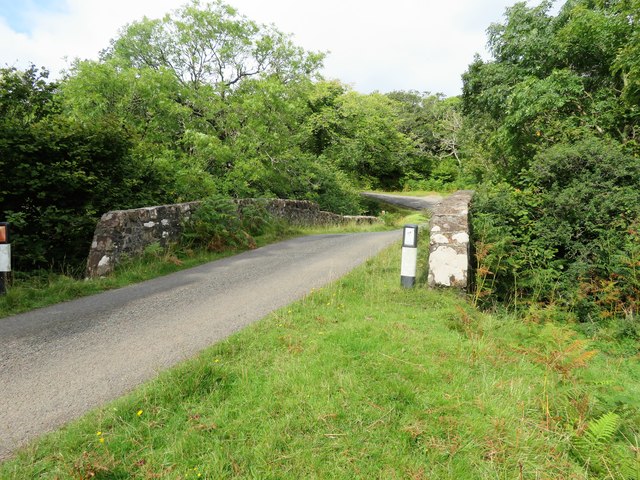
Hostraie Bridge A bridge on the coastal road crossing the Allt Hostarie.
Hostraie Bridge
A bridge on the coastal road crossing the Allt Hostarie.
East by Loch Tuath The road leading east with Loch Tuath and Ulva on the right.
East by Loch Tuath
The road leading east with Loch Tuath and Ulva on the right.
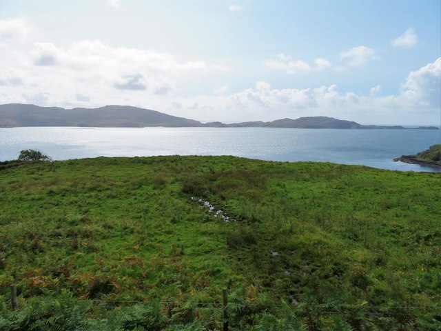
Burg Headland Looking over the grassland above Port Burg across Loch Tuath to Ulva and Gometra.
Burg Headland
Looking over the grassland above Port Burg across Loch Tuath to Ulva and Gometra.
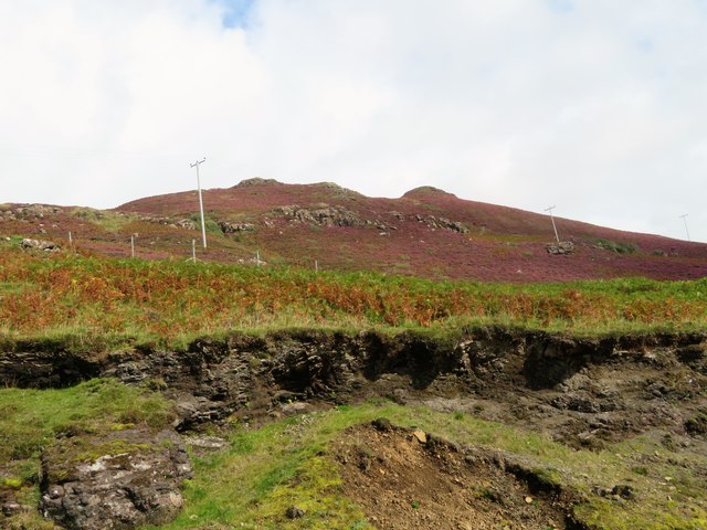
Slopes of Cnoc Breac With phone lines crossing it these are the lower slopes of Cnoc Breac, peaty rough grassland with heather cover beyond.
Slopes of Cnoc Breac
With phone lines crossing it these are the lower slopes of Cnoc Breac, peaty rough grassland with heather cover beyond.
Allt Bhurg Woodland Trees following the path of the Allt Bhurg.
Allt Bhurg Woodland
Trees following the path of the Allt Bhurg.
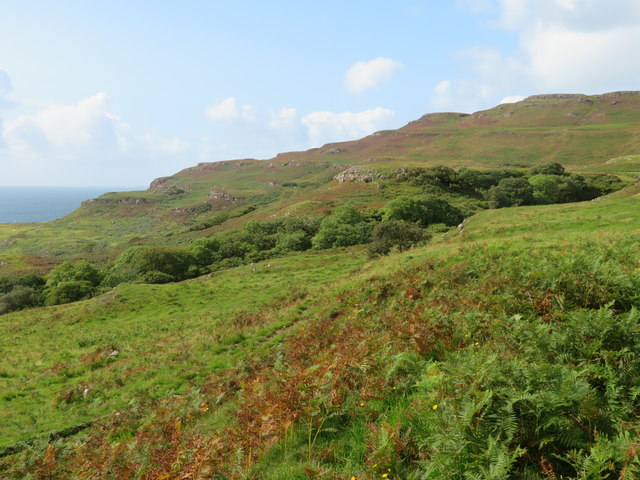
Rough Grazing Rough pasture before moorland with Cnoc Cuairteach behind.
Rough Grazing
Rough pasture before moorland with Cnoc Cuairteach behind.
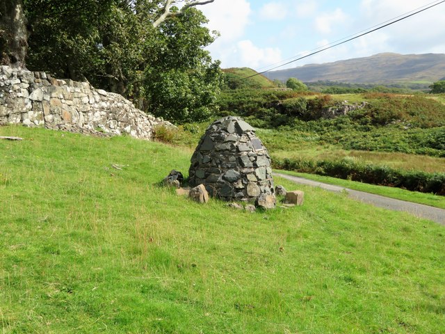
Roadside Cairn A cairn beside the B8073 with Loch Tuath in the far distance.
Roadside Cairn
A cairn beside the B8073 with Loch Tuath in the far distance.
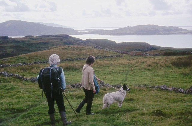
Walking the dog at Reudle Looking over to Ulva Island.
Walking the dog at Reudle
Looking over to Ulva Island.
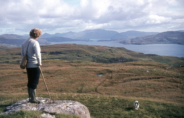
View towards Ben More from Cnoc an t-Sluaigh
Show me another place!

Cruinn-leum is located at Grid Ref: NM3745 (Lat: 56.524475, Lng: -6.2636596)

Unitary Authority: Argyll and Bute

Police Authority: Argyll and West Dunbartonshire

What 3 Words

///class.liquids.dignify. Near Calgary, Argyll & Bute

Related Wikis

Torloisk House

Torloisk House (sometimes referred to as Torluck House in 19th century references) on the Isle of Mull, Argyll in Scotland was the family seat held by...

Achleck

Achleck is a small settlement in the north-west of the Isle of Mull in Argyll and Bute, Scotland. == References ==

Loch Tuath

Loch Tuath (Scottish Gaelic: Loch-a-Tuath) is a sea loch in the Inner Hebrides, Scotland that separates the Isle of Mull and the island of Ulva. Loch Tuath...

Gometra

Gometra (Scottish Gaelic: Gòmastra) is an island in the Inner Hebrides of Scotland, lying west of Mull. It lies immediately west of Ulva, to which it is...

Nearby Amenities

Located within 500m of 56.524475,-6.2636596
Description: Old township
Place: hamlet
Lat/Long: 56.5261529/-6.2633861
The data included in this document is from www.openstreetmap.org. The data is made available under ODbL.

Have you been to Cruinn-leum?

Leave your review of Cruinn-leum below (or comments, questions and feedback).