Fisherman's Head
Landscape Feature in Essex Rochford
England
Fisherman's Head
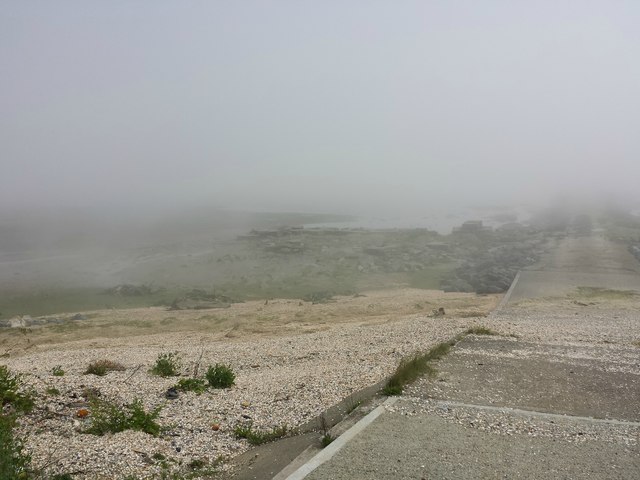
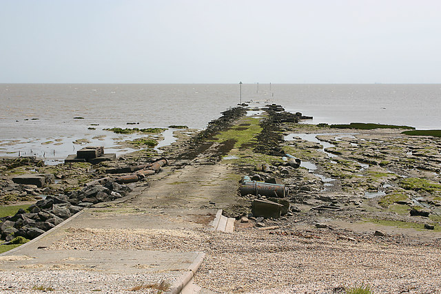
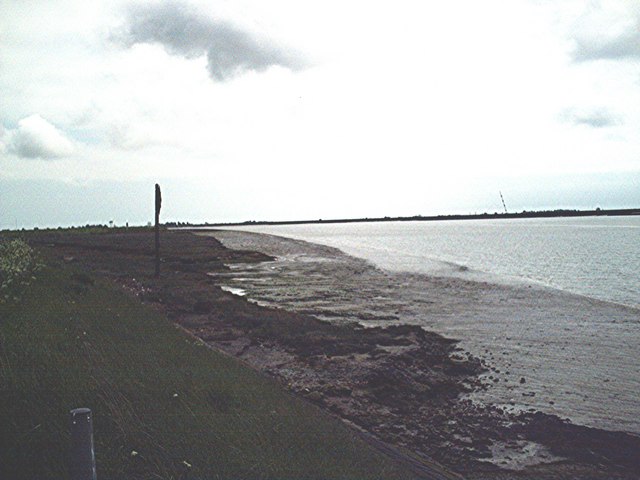
Fisherman's Head is a prominent landscape feature located in the coastal town of Essex, England. Situated on the east coast, it is a headland that juts out into the North Sea, offering breathtaking views and a fascinating natural environment.
The headland is characterized by its rugged cliffs, which are composed of layers of sedimentary rock, and reach impressive heights of up to 30 meters in some areas. These cliffs provide a vital habitat for a diverse range of bird species, including gulls, cormorants, and puffins, making it a popular spot for birdwatchers and nature enthusiasts.
At the base of the cliffs, there are several small pebble beaches that provide a tranquil setting for visitors to relax and enjoy the sound of the waves crashing against the shore. These beaches are also home to a variety of marine life, such as crabs, starfish, and small fish, making it a great location for rock pooling and exploring the fascinating intertidal zone.
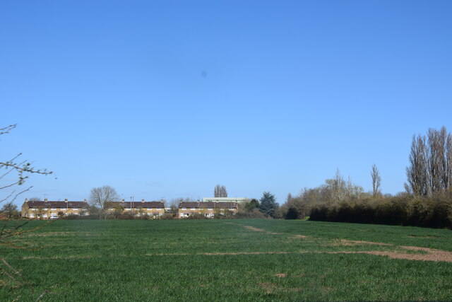
Fisherman's Head is also known for its historical significance, as it was once a thriving fishing community. The headland derived its name from the local fishermen who used to launch their boats from this point, venturing out into the North Sea in search of a bountiful catch. Although fishing is no longer as prominent in the area, the heritage of the fishing community can still be felt in the charming village nearby, with its quaint cottages and picturesque harbor.
Overall, Fisherman's Head offers a captivating blend of natural beauty, wildlife, and historical charm. Whether it's taking in the stunning coastal views, observing the diverse birdlife, or simply enjoying a peaceful day by the beach, this landscape feature is a must-visit destination for anyone exploring the Essex coastline.
If you have any feedback on the listing, please let us know in the comments section below.
Fisherman's Head Images
Images are sourced within 2km of 51.598966/0.93697487 or Grid Reference TR0392. Thanks to Geograph Open Source API. All images are credited.


Fisherman's Head is located at Grid Ref: TR0392 (Lat: 51.598966, Lng: 0.93697487)
Administrative County: Essex
District: Rochford
Police Authority: Essex
What 3 Words
///silks.patching.broad. Near Burnham-on-Crouch, Essex
Nearby Locations
Related Wikis
Foulness SSSI
Foulness SSSI is a 10,702 hectare biological Site of Special Scientific Interest covering the shoreline between Southend-on-Sea and the Crouch estuary...

Foulness Island
Foulness Island () is a closed island on the east coast of Essex in England, which is separated from the mainland by narrow creeks. In the 2001 census...

River Crouch
The River Crouch is a small river that flows entirely through the English county of Essex. The distance of the Navigation between Holliwell Point which...

Saint Mary the Virgin, Foulness Island
Saint Mary the Virgin is a parish of the Church of England on Foulness Island, in Essex, England. Before the 15th century, the island of Foulness was divided...
River Roach
The River Roach is a river that flows entirely through the English county of Essex. It is one of four main streams that originate in the Rayleigh Hills...

Maplin Sands
The Maplin Sands are mudflats on the northern bank of the Thames estuary, off Foulness Island, near Southend-on-Sea in Essex, England, though they actually...

Wallasea Wetlands
Wallasea Wetlands is a reclaimed wetlands area located in Essex, England. It has been created as part of a government-funded wetlands scheme to halt the...

New England Island
New England Island is an uninhabited island in Essex, England. One road crosses the island, connecting it with bridges to Foulness and to the mainland...
Nearby Amenities
Located within 500m of 51.598966,0.93697487Have you been to Fisherman's Head?
Leave your review of Fisherman's Head below (or comments, questions and feedback).