Adel Head
Landscape Feature in Yorkshire
England
Adel Head

Adel Head is a prominent landscape feature located in the county of Yorkshire, England. Situated near the village of Adel, it is a distinctive hill that forms part of the larger Leeds Ridge. Adel Head stands at an elevation of approximately 175 meters above sea level, offering commanding views of the surrounding countryside.
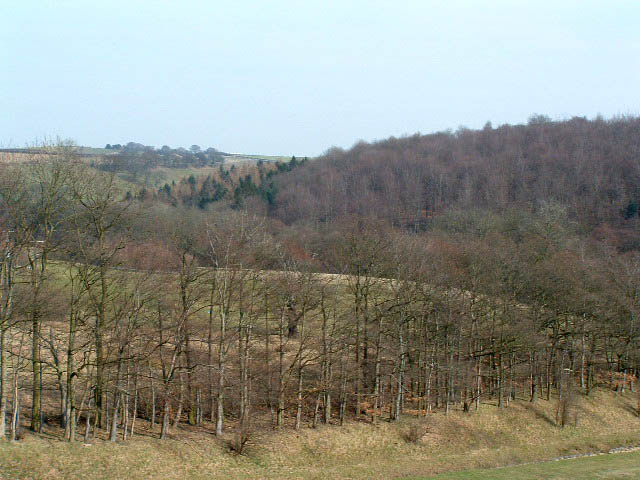
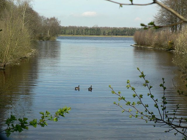
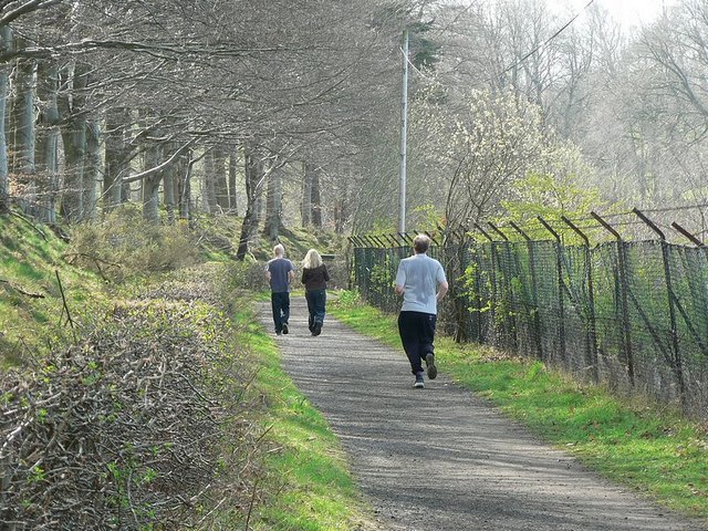
The landscape of Adel Head is characterized by its rolling hills, lush green fields, and dense woodland. It is an area of great natural beauty, attracting visitors who enjoy hiking, walking, and birdwatching. The hill is particularly well-known for its diverse flora and fauna, with several rare plant species and a variety of bird species making their home in the area.
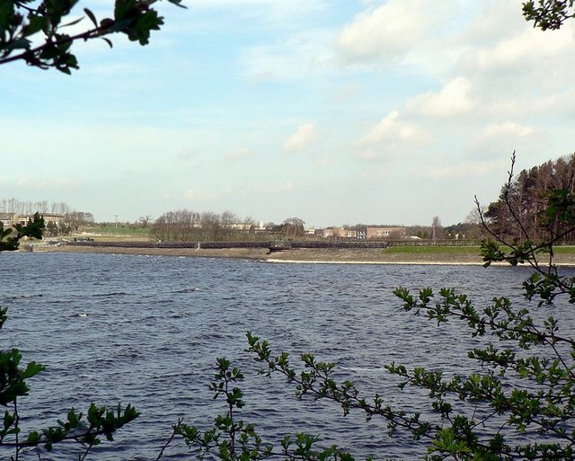
The summit of Adel Head offers panoramic views of the nearby Adel village, as well as the city of Leeds in the distance. On clear days, one can even catch a glimpse of the Pennines, a range of hills stretching across northern England. This vantage point also provides an excellent opportunity for photography enthusiasts to capture the stunning landscape.
Adel Head is not only a popular destination for nature lovers but also holds historical significance. The hill is believed to have been an ancient settlement site, with archaeological evidence suggesting human activity dating back to the Iron Age. Today, remnants of ancient earthworks and burial mounds can still be seen, adding an extra layer of intrigue to the landscape.
Overall, Adel Head in Yorkshire is a captivating landscape feature that combines natural beauty, recreational opportunities, and historical interest. It stands as a testament to the rich and diverse landscape of the region, attracting visitors from near and far.
If you have any feedback on the listing, please let us know in the comments section below.
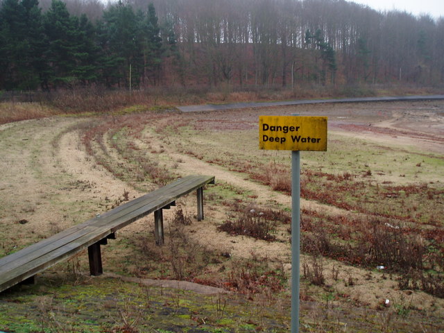
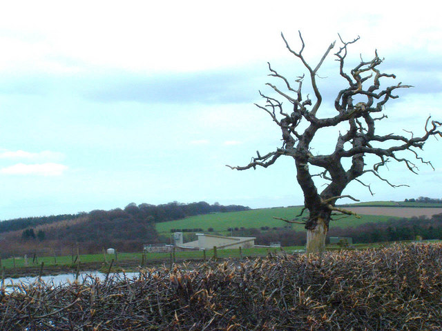
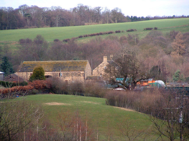
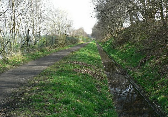
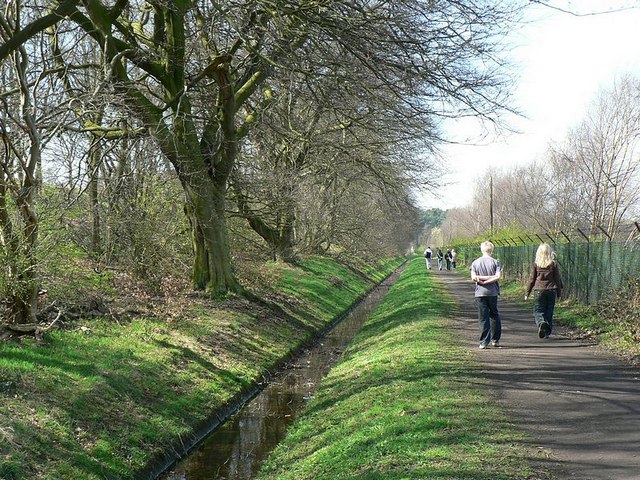
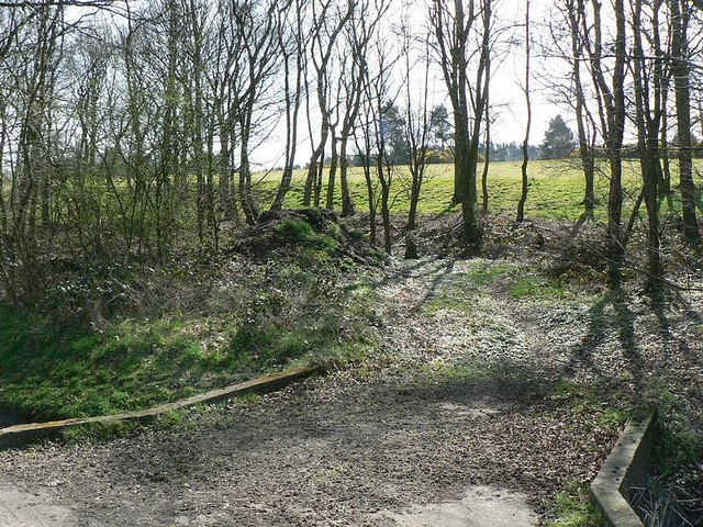
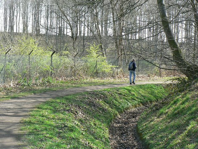
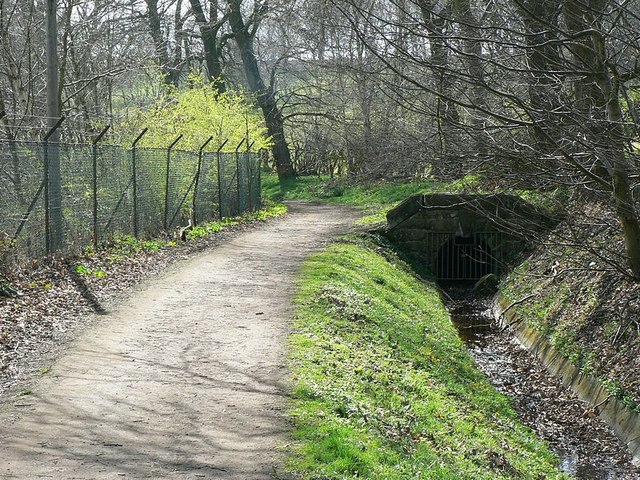
Adel Head Images
Images are sourced within 2km of 53.863369/-1.5507326 or Grid Reference SE2940. Thanks to Geograph Open Source API. All images are credited.


Adel Head is located at Grid Ref: SE2940 (Lat: 53.863369, Lng: -1.5507326)
Division: West Riding
Unitary Authority: Leeds
Police Authority: West Yorkshire
What 3 Words
///alarm.twist.teeth. Near Chapel Allerton, West Yorkshire
Nearby Locations
Related Wikis

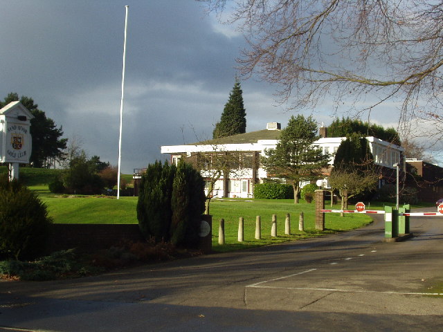
Sand Moor Golf Club
Sand Moor Golf Club is a golf club located in Alwoodley, North Leeds, West Yorkshire, England. It was founded in 1925. The 18-hole golf course was designed...

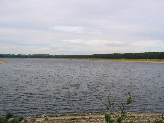
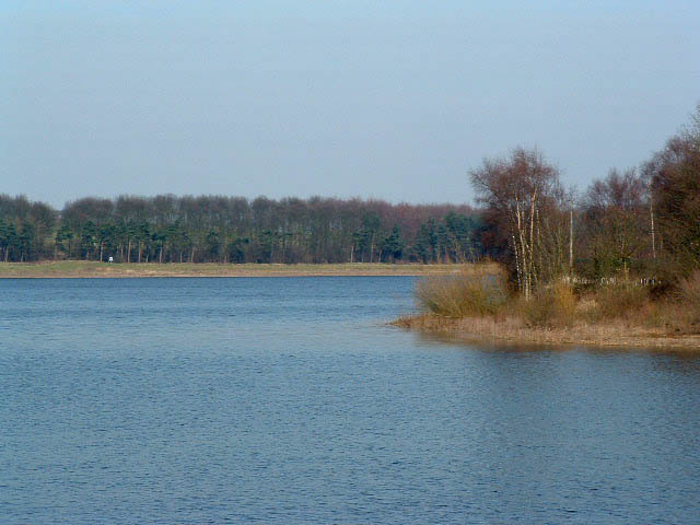
Eccup Reservoir
Eccup Reservoir is a reservoir in Alwoodley, a suburb of Leeds, West Yorkshire, England, near the village of Eccup. It was first constructed in 1843, and...
1929 Ryder Cup
The 2nd Ryder Cup Matches were held at the Moortown Golf Club in Leeds, England. It was very cold, with hail and at one point heavy snow on the greens...

Alwoodley
Alwoodley is a suburb and civil parish of Leeds in West Yorkshire, England. It is 5 miles (8.0 km) north of central Leeds and is one of the most affluent...
Nearby Amenities
Located within 500m of 53.863369,-1.5507326Have you been to Adel Head?
Leave your review of Adel Head below (or comments, questions and feedback).