Little Bull Head
Landscape Feature in Yorkshire Richmondshire
England
Little Bull Head

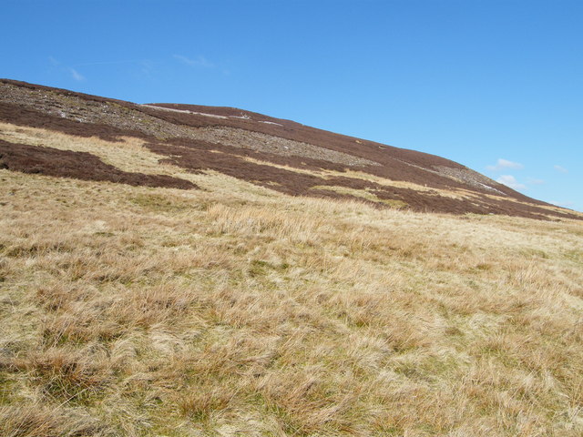
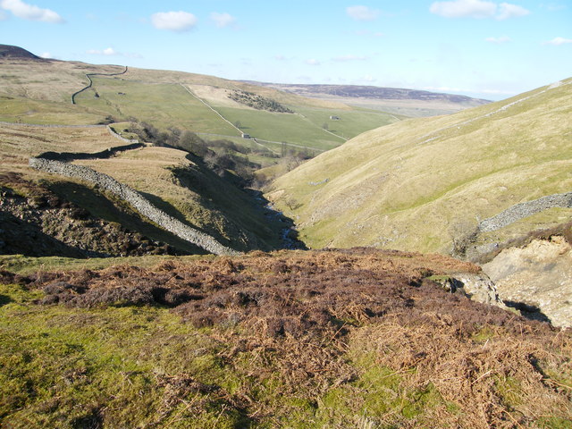
Little Bull Head is a picturesque landscape feature located in Yorkshire, England. Situated near the village of Grassington in the heart of the Yorkshire Dales National Park, this natural formation offers breathtaking views and unique geological formations.
The main attraction of Little Bull Head is its limestone cliff, which stands majestically overlooking the surrounding countryside. The cliff is characterized by its rugged and weathered appearance, showcasing the power of erosion over thousands of years. Visitors can marvel at the intricate patterns and textures created by nature's forces on the exposed limestone surface.
The area surrounding Little Bull Head is a haven for wildlife enthusiasts and nature lovers. The cliff provides nesting sites for various bird species, including peregrine falcons and ravens. Rare plants and wildflowers can also be found in the vicinity, adding to the area's ecological significance.
For those seeking adventure, Little Bull Head offers opportunities for hiking and climbing. The cliff's challenging terrain attracts climbers from all over the region, providing a thrilling experience for those with the necessary skills and equipment.
The peaceful ambiance and breathtaking views make Little Bull Head a popular spot for photographers, painters, and nature enthusiasts. The changing seasons bring a kaleidoscope of colors, with vibrant wildflowers in spring and rich autumnal hues in fall.
Overall, Little Bull Head is a must-visit destination for anyone looking to immerse themselves in the natural beauty of Yorkshire. Whether it's admiring the geological wonders, observing the diverse wildlife, or simply enjoying the tranquility, this landscape feature offers an unforgettable experience for visitors of all ages.
If you have any feedback on the listing, please let us know in the comments section below.
Little Bull Head Images
Images are sourced within 2km of 54.357351/-2.0816725 or Grid Reference SD9495. Thanks to Geograph Open Source API. All images are credited.


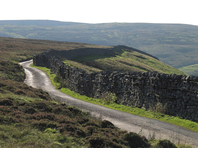
![High Oxnop Recently renovated house [see my 2000 photograph] on the hillside above Oxnop Gill.](https://s1.geograph.org.uk/geophotos/02/57/70/2577097_2c47292d.jpg)


Little Bull Head is located at Grid Ref: SD9495 (Lat: 54.357351, Lng: -2.0816725)
Division: North Riding
Administrative County: North Yorkshire
District: Richmondshire
Police Authority: North Yorkshire
What 3 Words
///tapers.spoke.gratitude. Near Leyburn, North Yorkshire
Nearby Locations
Related Wikis

Satron
Satron is a hamlet in Swaledale, North Yorkshire, England. It lies 0.6 miles (1 km) south west of Gunnerside on the opposite bank of the River Swale. It...

Gunnerside
Gunnerside is a village in North Yorkshire, England. It is situated in Swaledale, on the B6270 road, 3 miles (5 km) east of Muker and 6 miles (10 km) west...

Ivelet
Ivelet is a hamlet in the Yorkshire Dales, North Yorkshire, England about a mile west of Gunnerside in Swaledale. Ivelet Bridge crosses the River Swale...

Crackpot, North Yorkshire
Crackpot is a village in Swaledale, North Yorkshire, England. Its name derives from the Old English kraka (crow) and the Viking word pot (usually a pit...

Low Row
Low Row is a village in Swaledale, in the Yorkshire Dales, North Yorkshire, England. It lies about 3 miles west of Reeth and is between Healaugh and Gunnerside...

Melbecks
Melbecks is a civil parish in North Yorkshire, England. It is located in upper Swaledale and covers the settlements of Gunnerside, Low Row, Feetham and...

Muker
Muker is a village and civil parish at the western end of Swaledale in North Yorkshire, England, within the Yorkshire Dales. The parish includes the hamlets...

Newbiggin, Askrigg
Newbiggin is a hamlet very close to Askrigg, North Yorkshire, England. Another Newbiggin is only about 7 miles (11 km) away. The hamlet consists of eight...
Have you been to Little Bull Head?
Leave your review of Little Bull Head below (or comments, questions and feedback).