Moor Head
Landscape Feature in Yorkshire Craven
England
Moor Head

Moor Head is a prominent landscape feature located in the county of Yorkshire, England. Situated on the outskirts of the town of Huddersfield, Moor Head is a prominent hill that rises to an elevation of approximately 1,200 feet (366 meters) above sea level.
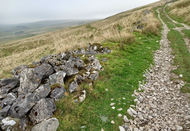
The hill is characterized by its distinctive rounded shape and is composed of Millstone Grit, a type of sandstone commonly found in the region. Covered in heather and grasses, Moor Head offers a picturesque view of the surrounding countryside, including the nearby valleys and moorlands.
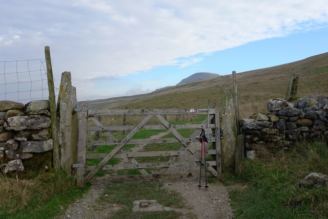
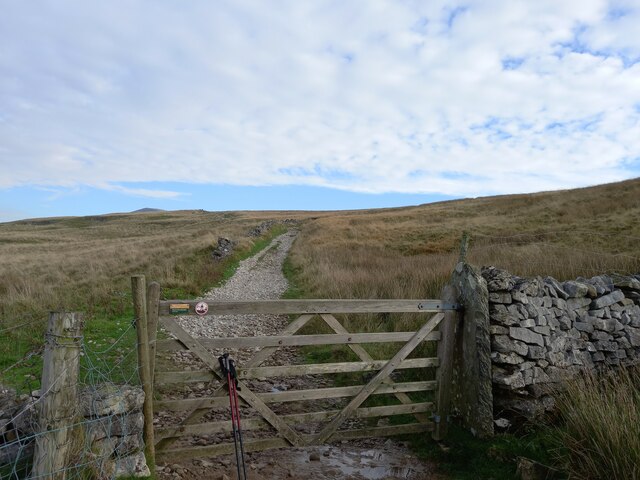
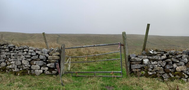
The hill is accessible via several walking paths, making it a popular destination for outdoor enthusiasts and nature lovers. The summit of Moor Head provides breathtaking panoramic views, allowing visitors to admire the rolling hills, woodlands, and farmland that stretch into the distance.
The area surrounding Moor Head is also home to a diverse range of flora and fauna. The hill's heather-covered slopes provide a habitat for various bird species, including red grouse and curlews. In addition, the hill's rocky outcrops and boulders attract reptiles such as adders and lizards.
Moor Head is not only a natural attraction but also holds historical significance. The hill was once the site of an Iron Age hillfort, and remnants of ancient fortifications can still be seen today. This adds an extra layer of interest for those intrigued by the region's rich history.
Overall, Moor Head in Yorkshire offers visitors a chance to immerse themselves in the natural beauty and history of the area, making it a must-visit destination for those exploring the region.
If you have any feedback on the listing, please let us know in the comments section below.
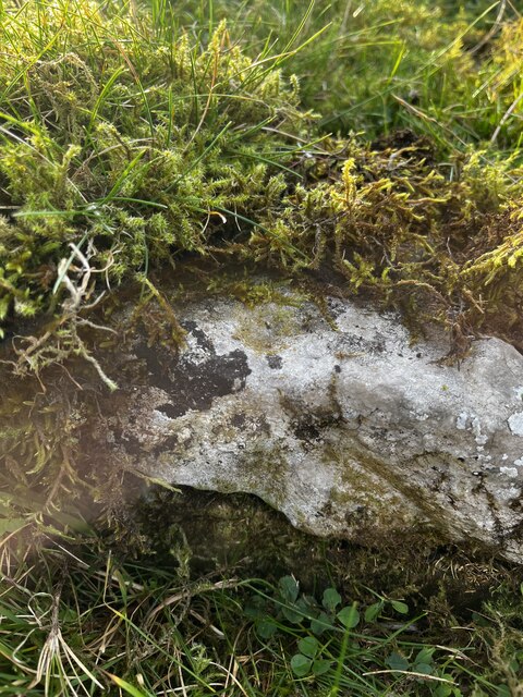
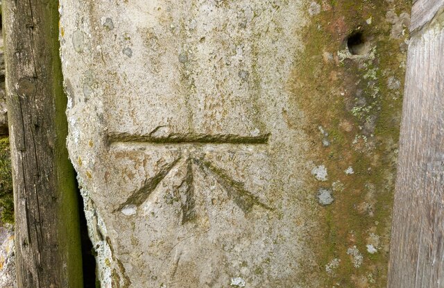
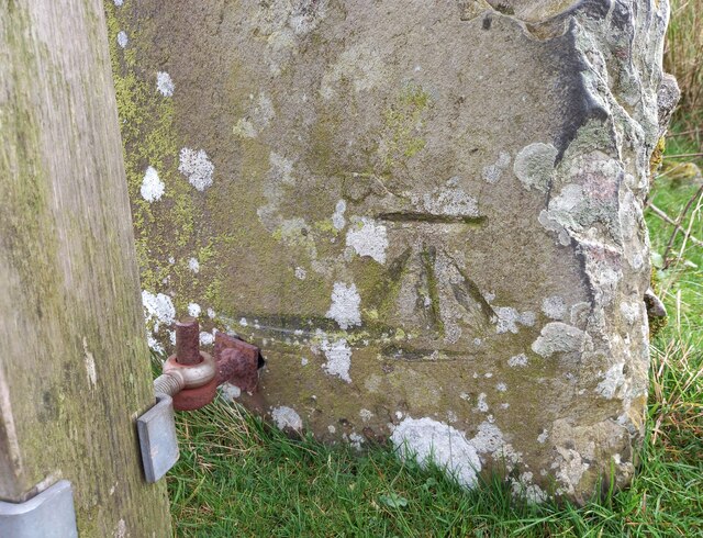
Moor Head Images
Images are sourced within 2km of 54.124315/-2.2571104 or Grid Reference SD8369. Thanks to Geograph Open Source API. All images are credited.


Moor Head is located at Grid Ref: SD8369 (Lat: 54.124315, Lng: -2.2571104)
Division: West Riding
Administrative County: North Yorkshire
District: Craven
Police Authority: North Yorkshire
What 3 Words
///conductor.poet.happily. Near Settle, North Yorkshire
Nearby Locations
Related Wikis

Silverdale, North Yorkshire
Silverdale is a minor dale in the Yorkshire Dales in North Yorkshire, England. It is a side dale of Ribblesdale, and lies west of Fountains Fell. The dale...
Stainforth, North Yorkshire
Stainforth is a village and civil parish in the Craven district of North Yorkshire, England. It is situated north of Settle. Nearby there is a waterfall...

St Peter's Church, Stainforth
St Peter's Church is in the village of Stainforth, North Yorkshire, England. It is an active Anglican parish church in the deanery of Bowland, the archdeaconry...

Brackenbottom
Brackenbottom is a village in Ribblesdale, North Yorkshire, England. == External links == Media related to Brackenbottom at Wikimedia Commons

Pennine Cycleway
The Pennine Cycleway is a Sustrans-sponsored route in the Pennines range in northern England, an area often called the "backbone of England". The route...

Stainforth Force
Stainforth Force (also known as Stainforth Foss and Ribble Falls), is a 2.5-metre (8 ft 2 in) high cascade waterfall on the River Ribble at Stainforth...

Stainforth Bridge
Stainforth Bridge, (also known as Stainforth packhorse bridge and Knight Stainforth bridge) is a 17th century, arched packhorse bridge over the River Ribble...
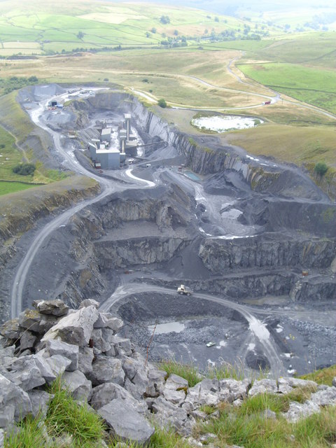
Dry Rigg Quarry
Dry Rigg Quarry is a quarry at Helwith Bridge in North Yorkshire, England, located within the Yorkshire Dales National Park. The quarry produces a hard...
Nearby Amenities
Located within 500m of 54.124315,-2.2571104Have you been to Moor Head?
Leave your review of Moor Head below (or comments, questions and feedback).