Little Moor Head

Landscape Feature in Yorkshire Craven

England

Little Moor Head

Pivot on Dub Cote Scar Pasture, Long Lane Very badly eroded pivot benchmark on limestone wall. I tried to rub moss into the pivot (top of stone) and broad arrow to front of stone but it's still hard to make out. Further description here <span class="nowrap"><a title="https://www.bench-marks.org.uk/bm174286" rel="nofollow ugc noopener" href="https://www.bench-marks.org.uk/bm174286">Link</a><img style="margin-left:2px;" alt="External link" title="External link - shift click to open in new window" src="https://s1.geograph.org.uk/img/external.png" width="10" height="10"/></span>
Pivot on Dub Cote Scar Pasture, Long Lane Credit: OfficeOfPudseyBMs

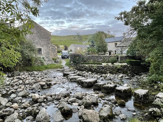
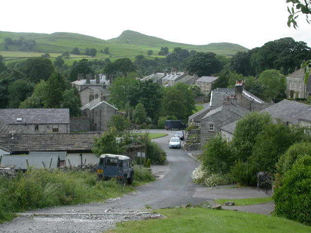
Little Moor Head is a picturesque landscape feature located in the county of Yorkshire, England. Nestled within the expansive moorlands, this natural gem offers a breathtaking view of rolling hills, heather-covered moors, and an abundance of wildlife.

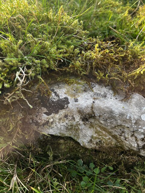
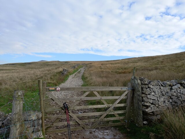
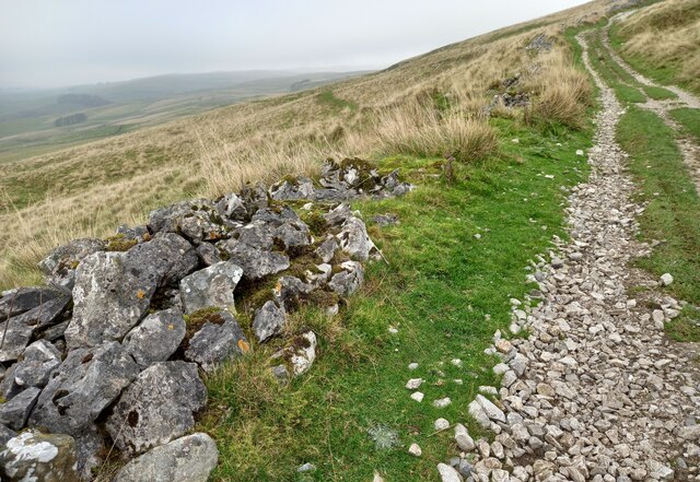
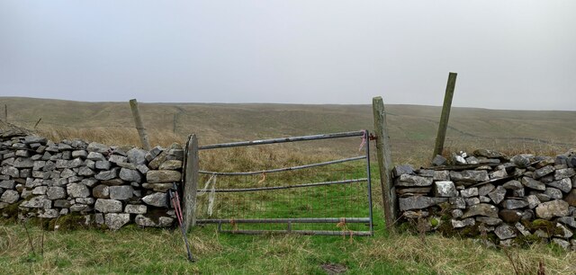
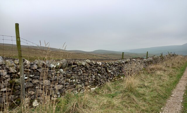
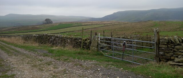
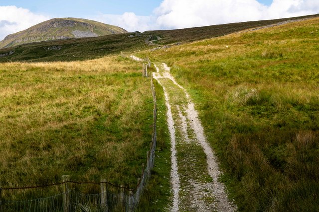
Situated at an elevation of approximately 400 meters above sea level, Little Moor Head presents a unique opportunity for outdoor enthusiasts and nature lovers to explore its rugged beauty. The landscape is characterized by vast stretches of open moorland, dotted with small patches of woodland and scattered boulders. These boulders are remnants of the glacial activity that shaped the region during the last Ice Age.

The area's vegetation primarily consists of heather, which transforms the moors into a vibrant purple carpet during the summer months. This creates a stunning contrast against the green grasses and golden hues of the surrounding landscape. Additionally, various species of grasses, mosses, and wildflowers can be found, adding to the area's natural charm.

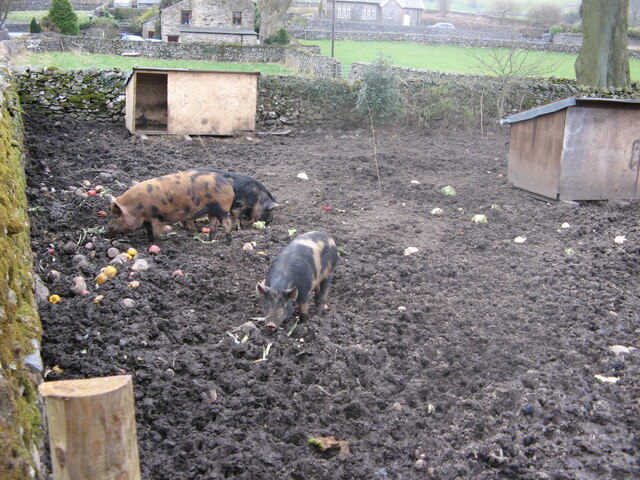
Little Moor Head is home to a diverse range of wildlife, making it a haven for birdwatchers and wildlife enthusiasts. Visitors may spot species such as curlews, lapwings, grouse, and golden plovers, which thrive in this unique habitat. The moorland also supports a variety of mammals, including hares, rabbits, and the occasional red deer.

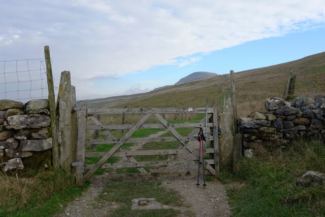
Access to Little Moor Head is facilitated by well-maintained footpaths and trails, allowing visitors to explore the area's beauty on foot. The landscape's remote location and unspoiled nature provide a tranquil escape from the hustle and bustle of urban life.

In conclusion, Little Moor Head's stunning moorland scenery, rich biodiversity, and peaceful ambiance make it an idyllic destination for those seeking to immerse themselves in Yorkshire's natural beauty.

If you have any feedback on the listing, please let us know in the comments section below.

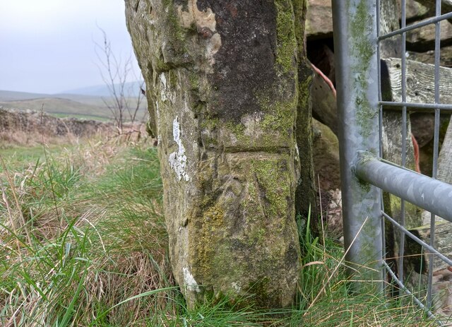
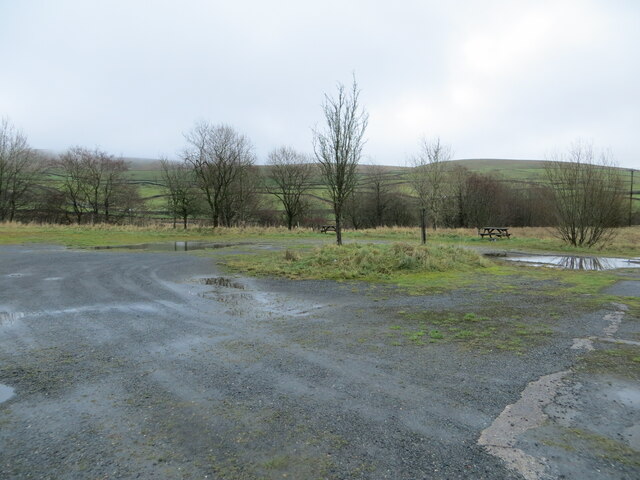
Little Moor Head Images

Images are sourced within 2km of 54.117601/-2.2614136 or Grid Reference SD8369. Thanks to Geograph Open Source API. All images are credited.

Pivot on Dub Cote Scar Pasture, Long Lane Very badly eroded pivot benchmark on limestone wall. I tried to rub moss into the pivot (top of stone) and broad arrow to front of stone but it's still hard to make out. Further description here <span class="nowrap"><a title="https://www.bench-marks.org.uk/bm174286" rel="nofollow ugc noopener" href="https://www.bench-marks.org.uk/bm174286">Link</a><img style="margin-left:2px;" alt="External link" title="External link - shift click to open in new window" src="https://s1.geograph.org.uk/img/external.png" width="10" height="10"/></span>
Pivot on Dub Cote Scar Pasture, Long Lane
Very badly eroded pivot benchmark on limestone wall. I tried to rub moss into the pivot (top of stone) and broad arrow to front of stone but it's still hard to make out. Further description here LinkExternal link
Studfold, Long Lane The benchmark is cut into a left hand gatepost on the Long Lane track, with the summit of Penyghent in the distance.
Studfold, Long Lane
The benchmark is cut into a left hand gatepost on the Long Lane track, with the summit of Penyghent in the distance.
Studfold, Long Lane track There is a benchmark cut into the left hand gatepost on the Long Lane track, with the summit of Penyghent in the distance.
Studfold, Long Lane track
There is a benchmark cut into the left hand gatepost on the Long Lane track, with the summit of Penyghent in the distance.
Studfold, Long Lane track  The benchmark is cut into a right hand gatepost on the Long Lane track to Penyghent.
Studfold, Long Lane track
The benchmark is cut into a right hand gatepost on the Long Lane track to Penyghent.
Studfold, Long Lane track There is a benchmark cut into the right hand gatepost on the Long Lane track to Penyghent.
Studfold, Long Lane track
There is a benchmark cut into the right hand gatepost on the Long Lane track to Penyghent.
Penyghent, Long Lane track According to the OS benchmark database there is a pivot benchmark cut into the drystone wall on the west side of the track. The wall is in a poor state and nothing was found.
Penyghent, Long Lane track
According to the OS benchmark database there is a pivot benchmark cut into the drystone wall on the west side of the track. The wall is in a poor state and nothing was found.
Penyghent, Long Lane track According to the OS benchmark database there is a benchmark cut on one of these gateposts on the east side of the lane. Nothing was found.
Penyghent, Long Lane track
According to the OS benchmark database there is a benchmark cut on one of these gateposts on the east side of the lane. Nothing was found.
Penyghent, Long Lane track According to the OS benchmark database there is a pivot benchmark cut into the drystone wall on the east side of the track. Nothing was found.
Penyghent, Long Lane track
According to the OS benchmark database there is a pivot benchmark cut into the drystone wall on the east side of the track. Nothing was found.
Studfold, Long Lane track The benchmark is cut into the left hand gatepost at a field entrance on the west side of the lane.
Studfold, Long Lane track
The benchmark is cut into the left hand gatepost at a field entrance on the west side of the lane.
Studfold, Long Lane track There is a large benchmark cut into the left hand gatepost at the field entrance on the west side of the lane.
Studfold, Long Lane track
There is a large benchmark cut into the left hand gatepost at the field entrance on the west side of the lane.
Long Lane
Long Lane
Parking and Picnic Areas at Helwith Bridge Looking south-eastward.
Parking and Picnic Areas at Helwith Bridge
Looking south-eastward.
Bridge over River Ribble Pen-y-ghent summit is in the distance. The bridge was built as part of the Settle-Carlisle railway construction
Bridge over River Ribble
Pen-y-ghent summit is in the distance. The bridge was built as part of the Settle-Carlisle railway construction
Settle and Carlisle Railway, old Plate Layer's Hut at Helwith Bridge  Taken from Austwick Road bridge, which crosses the railway and the adjacent River Ribble.
Settle and Carlisle Railway, old Plate Layer's Hut at Helwith Bridge
Taken from Austwick Road bridge, which crosses the railway and the adjacent River Ribble.
Helwith Bridge Inn Beside the River Ribble and the Settle and Carlisle Railway at Helwith Bridge. For a view of the front, see <a href="https://www.geograph.org.uk/photo/1806429">SD8169 : Helwith Bridge Inn</a>. There is also a bunkhouse <a href="https://www.geograph.org.uk/photo/1806607">SD8169 : Hotel Paradiso</a> in the car park.
Helwith Bridge Inn
Beside the River Ribble and the Settle and Carlisle Railway at Helwith Bridge. For a view of the front, see SD8169 : Helwith Bridge Inn. There is also a bunkhouse SD8169 : Hotel Paradiso in the car park.
Settle and Carlisle Railway at Helwith Bridge  Looking south from Austwick Road bridge.
Settle and Carlisle Railway at Helwith Bridge
Looking south from Austwick Road bridge.
As Happy as Pigs in Muck! Seen just off Church Lane in Stainforth. The right-hand building at the top edge of the image is The Old School <a href="https://www.geograph.org.uk/photo/435623">SD8167 : The Old School House, Stainforth</a>.
As Happy as Pigs in Muck!
Seen just off Church Lane in Stainforth. The right-hand building at the top edge of the image is The Old School SD8167 : The Old School House, Stainforth.
Stepping Stones at Stainforth This fording point features a set of stepping stones. I am reliably informed that sheep and cattle reluctantly cross at this point.
Stepping Stones at Stainforth
This fording point features a set of stepping stones. I am reliably informed that sheep and cattle reluctantly cross at this point.
Show me another place!

Little Moor Head is located at Grid Ref: SD8369 (Lat: 54.117601, Lng: -2.2614136)

Division: West Riding

Administrative County: North Yorkshire

District: Craven

Police Authority: North Yorkshire

What 3 Words

///survived.conceals.curiosity. Near Settle, North Yorkshire

Nearby Locations

Moor Head Little Moor Head

Related Wikis

Stainforth, North Yorkshire

Stainforth is a village and civil parish in the Craven district of North Yorkshire, England. It is situated north of Settle. Nearby there is a waterfall...

St Peter's Church, Stainforth

St Peter's Church is in the village of Stainforth, North Yorkshire, England. It is an active Anglican parish church in the deanery of Bowland, the archdeaconry...

Stainforth Force

Stainforth Force (also known as Stainforth Foss and Ribble Falls), is a 2.5-metre (8 ft 2 in) high cascade waterfall on the River Ribble at Stainforth...

Stainforth Bridge

Stainforth Bridge, (also known as Stainforth packhorse bridge and Knight Stainforth bridge) is a 17th century, arched packhorse bridge over the River Ribble...

Nearby Amenities

Located within 500m of 54.117601,-2.2614136
Barrier: stile
Lat/Long: 54.1178115/-2.2689463
The data included in this document is from www.openstreetmap.org. The data is made available under ODbL.

Have you been to Little Moor Head?

Leave your review of Little Moor Head below (or comments, questions and feedback).