Baxton Gill Head
Landscape Feature in Westmorland Eden
England
Baxton Gill Head

Baxton Gill Head is a prominent landscape feature located in the county of Westmorland, in the northwestern region of England. It is situated near the village of Orton, within the Yorkshire Dales National Park.
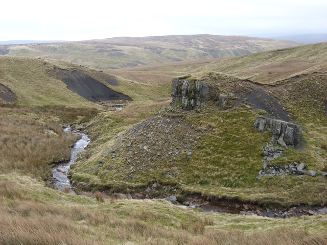
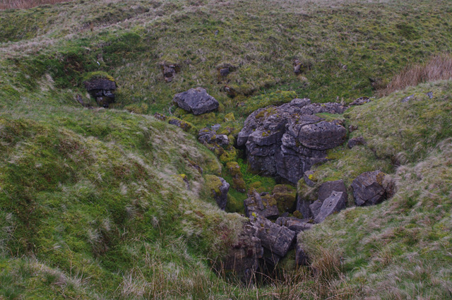
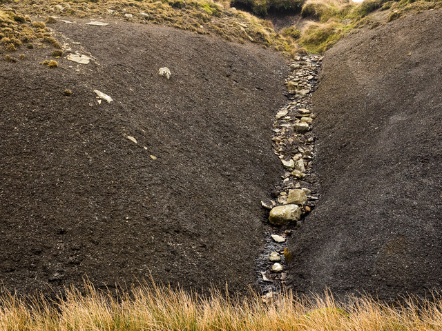
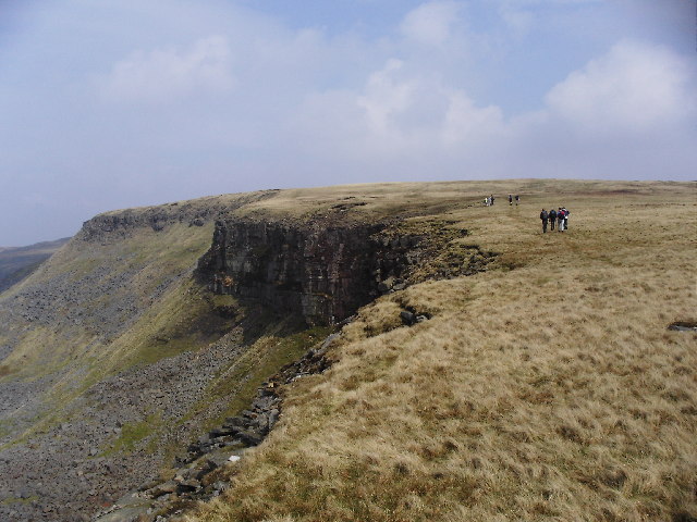
This geographical formation is characterized by a steep-sided, U-shaped valley, carved out by glacial activity during the last Ice Age. Baxton Gill Head is a classic example of a glacial cirque, which is a bowl-shaped hollow at the head of a valley, created by the erosive power of glaciers.
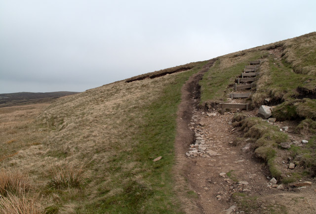
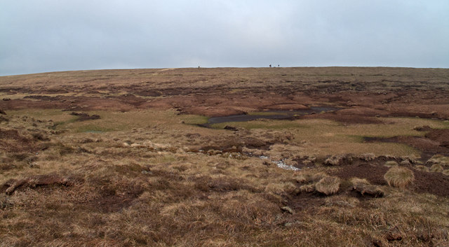
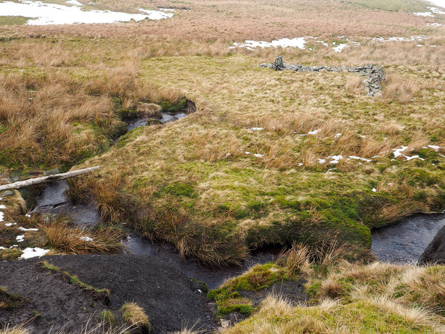
The landscape surrounding Baxton Gill Head is stunningly picturesque, with its rugged slopes and dramatic cliffs. The valley is covered in lush greenery, including a variety of vegetation such as grasses, heather, and shrubs, which provide a rich habitat for diverse flora and fauna.
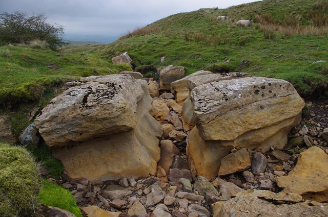
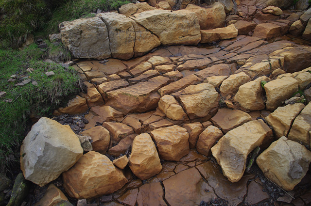
The area is also known for its striking geological features, with exposed rocks displaying evidence of past glacial movements. The valley is flanked by towering peaks, adding to its grandeur and creating a sense of awe-inspiring beauty.
Baxton Gill Head is a popular destination for nature lovers, hikers, and photographers, who come to admire the breathtaking views and explore the surrounding countryside. The area offers numerous walking trails, allowing visitors to immerse themselves in the tranquil atmosphere and experience the untamed beauty of the Westmorland landscape.
Overall, Baxton Gill Head is a remarkable landscape feature that showcases the power and beauty of glacial processes, offering visitors a glimpse into the geological history of the region while providing a captivating natural environment to explore and enjoy.
If you have any feedback on the listing, please let us know in the comments section below.
Baxton Gill Head Images
Images are sourced within 2km of 54.4501/-2.2706852 or Grid Reference NY8206. Thanks to Geograph Open Source API. All images are credited.


Baxton Gill Head is located at Grid Ref: NY8206 (Lat: 54.4501, Lng: -2.2706852)
Administrative County: Cumbria
District: Eden
Police Authority: Cumbria
What 3 Words
///pianists.commenced.resides. Near Kirkby Stephen, Cumbria
Nearby Locations
Related Wikis
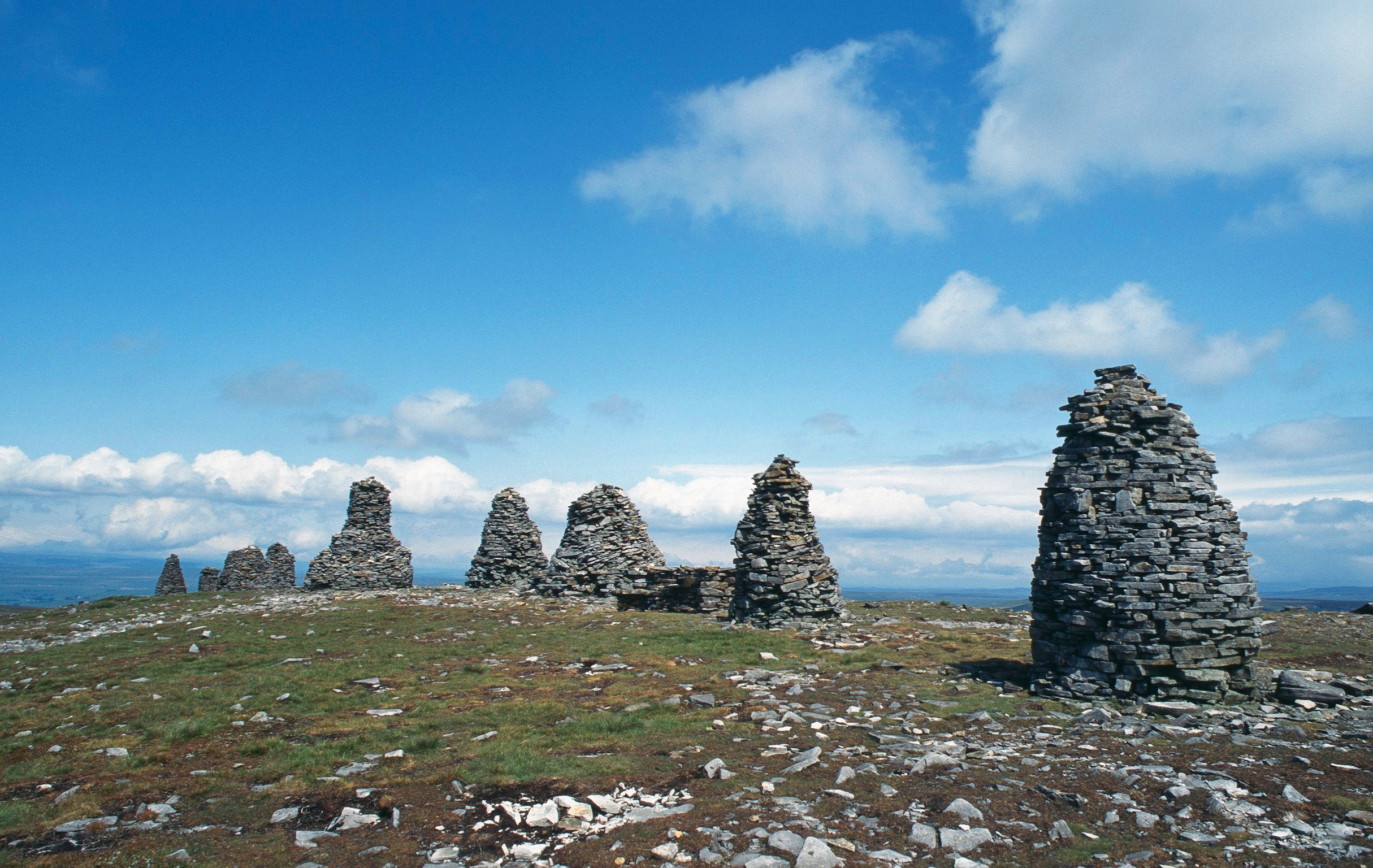
Nine Standards Rigg
Nine Standards Rigg is the summit of Hartley Fell in the Pennine Hills of England. It lies near the boundary between Cumbria and North Yorkshire, a few...

Birkdale, North Yorkshire
Birkdale (sometimes written out as Birk Dale) is a dale in the Yorkshire Dales National Park, in North Yorkshire, England. It lies at the far western end...

Belah Viaduct
The Belah Viaduct was a railway viaduct on the South Durham and Lancashire Union Railway, crossing the River Belah, in Cumbria, England, about 1 mile...

Hartley Castle
Hartley Castle was a castle near Kirkby Stephen, Cumbria, England. == History == The manor was confiscated circa 1315 from Roger de Clifford and granted...
Hartley, Cumbria
Hartley is a village and civil parish in the Eden district of Cumbria, England. It is about 0.5 miles (0.8 km) east of Kirkby Stephen. The area has many...

Nateby, Cumbria
Nateby is a village and civil parish in the Eden district of Cumbria, England. The parish had a population of 110 in 2001, increasing to 120 at the 2011...
High Seat (Yorkshire Dales)
High Seat is a fell in the dale of Mallerstang, Cumbria. With a summit at 709 metres (2,326 ft), it is the fourth highest fell in the Yorkshire Dales...

Devil's Grinding Mill
The Devil's Grinding Mill, sometimes known as the Devil's Hole, is part of The Angel's Drainpipe, a partially collapsed cave system on the River Eden in...
Nearby Amenities
Located within 500m of 54.4501,-2.2706852Have you been to Baxton Gill Head?
Leave your review of Baxton Gill Head below (or comments, questions and feedback).