Burnhope Head
Landscape Feature in Cumberland Eden
England
Burnhope Head

Burnhope Head is a prominent landscape feature located in the county of Cumberland, England. It is situated in the northern part of the county, near the border with Northumberland. Rising to an elevation of 747 meters (2,451 feet), Burnhope Head is the highest point in Cumberland and one of the highest peaks in the region.
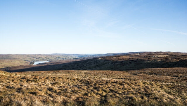
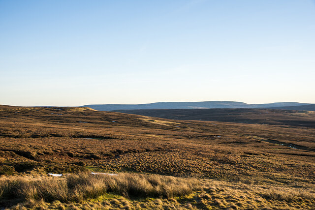
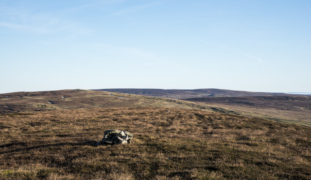
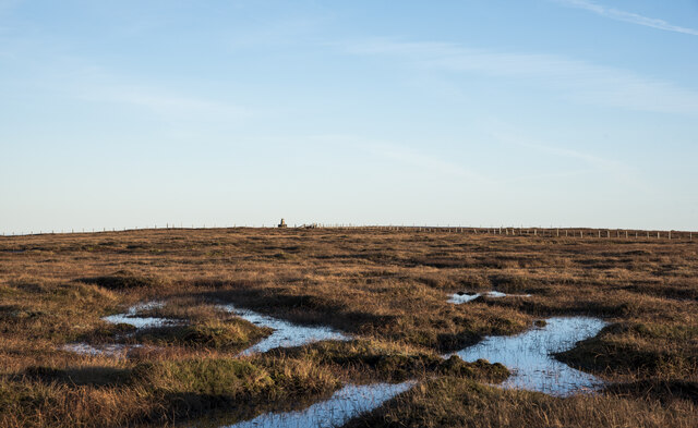
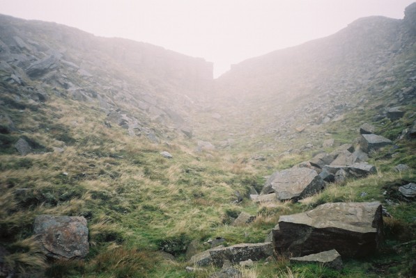
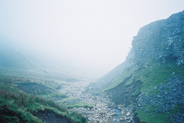
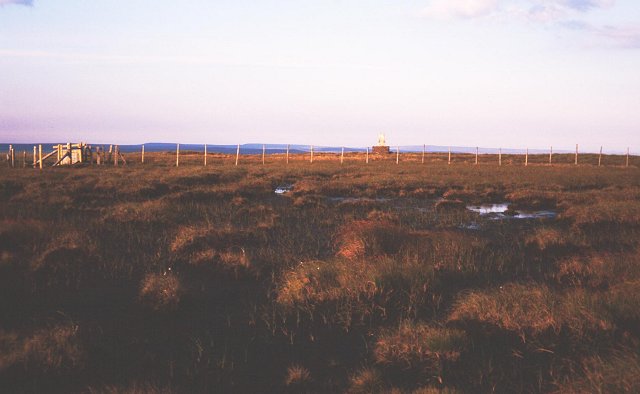
The landscape around Burnhope Head is characterized by rugged terrain, with steep slopes and rocky outcrops. The summit offers panoramic views of the surrounding countryside, including the nearby North Pennines Area of Outstanding Natural Beauty.
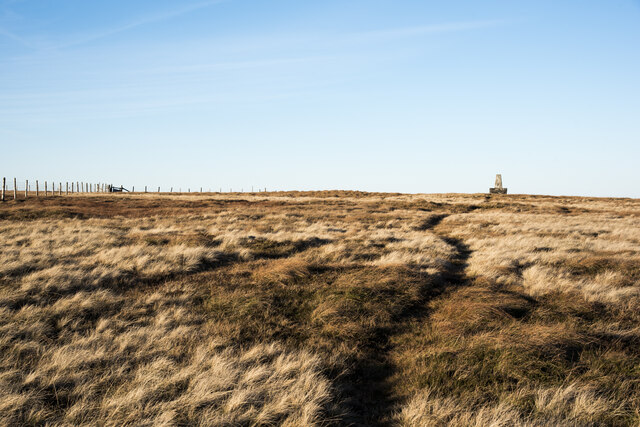
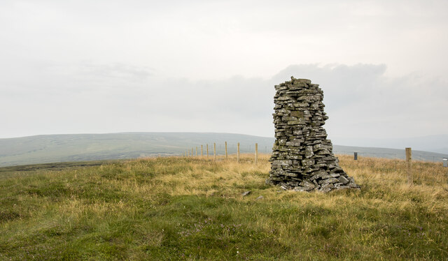
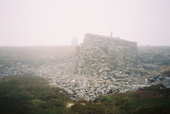
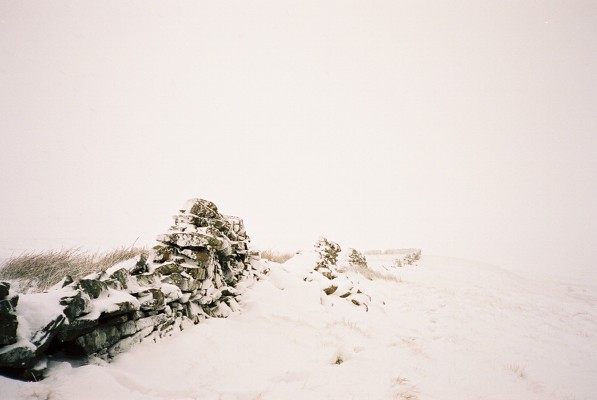
At the peak of Burnhope Head, there is a trig point, which serves as a marker for surveying and navigation purposes. The trig point is a concrete pillar with a metal plaque, providing a reference point for measuring distances and angles in the landscape.
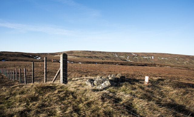
Burnhope Head is a popular destination for hikers and outdoor enthusiasts, who are drawn to its challenging terrain and stunning views. There are several walking routes that lead to the summit, including the Pennine Way, a long-distance trail that traverses the upland areas of northern England.
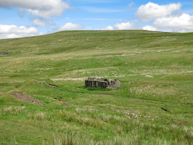
The area surrounding Burnhope Head is also of historical significance. It was once a lead mining region, and remnants of the industry, such as old mine shafts and spoil heaps, can still be seen in the landscape.
Overall, Burnhope Head is a prominent and visually striking landscape feature, offering both natural beauty and cultural heritage to visitors.
If you have any feedback on the listing, please let us know in the comments section below.
Burnhope Head Images
Images are sourced within 2km of 54.738247/-2.327539 or Grid Reference NY7938. Thanks to Geograph Open Source API. All images are credited.


Burnhope Head is located at Grid Ref: NY7938 (Lat: 54.738247, Lng: -2.327539)
Administrative County: Cumbria
District: Eden
Police Authority: Cumbria
What 3 Words
///besotted.boating.lakeside. Near Alston, Cumbria
Nearby Locations
Related Wikis
Burnhope Seat
Burnhope Seat is a high moorland fell in the North Pennines Area of Outstanding Natural Beauty (AONB) in northern England. It lies between the heads of...

Ashgill Force
Ashgill Force is a waterfall near Alston, Cumbria, England. The fall is located on Ashgill Beck and is reasonably easily accessible from the B6277 (which...

Moorhouse and Cross Fell
Moorhouse and Cross Fell is a Site of Special Scientific Interest covering an extensive area of moorland in the Wear Valley district of west County Durham...

Far High House Meadows
Far High House Meadows is a Site of Special Scientific Interest in Upper Weardale in west County Durham, England. It consists of three fields, located...

Killhope Cross
Killhope Cross (elevation 627 m; 2,057 ft) is a mountain pass in the English Pennines. The pass divides Weardale to the east and Cumbria to the west. The...

Nenthead
Nenthead ( NENT-hed) in the county of Cumbria is one of England's highest villages, at around 1,437 feet (438 m). It was not built until the middle of...

Rampghill mine
Rampgill mine is a disused lead mine at Nenthead, Alston Moor, Cumbria, England UK Grid Reference: NY78184351It was one of the most extensive and productive...

Garrigill
Garrigill, Cumbria is a small village in the North Pennine region of the UK, situated on the banks and close to the source of the River South Tyne. Historically...
Nearby Amenities
Located within 500m of 54.738247,-2.327539Have you been to Burnhope Head?
Leave your review of Burnhope Head below (or comments, questions and feedback).