Black Gutter Head
Landscape Feature in Yorkshire South Lakeland
England
Black Gutter Head

Black Gutter Head is a prominent landscape feature located in the county of Yorkshire, England. Situated in the stunning scenery of the North York Moors National Park, this rugged area is renowned for its natural beauty and unique geological formations.
The name "Black Gutter Head" aptly describes the appearance of this landscape feature. It refers to a deep, narrow gorge that cuts through the moorland, resembling a dark, winding channel. The gorge itself is flanked by steep craggy cliffs, which add to the dramatic and imposing nature of the site.
Formed over millions of years of erosion, Black Gutter Head offers a glimpse into the region's geological history. The exposed layers of sedimentary rock reveal the various geological processes that have shaped the landscape, including the action of flowing water and glaciation.
Aside from its geological significance, Black Gutter Head is also a haven for wildlife. The rugged cliffs provide nesting sites for various bird species, including ravens and peregrine falcons. The surrounding moorland is home to a diverse range of flora and fauna, with heather, bilberry, and cotton grass being common sights.
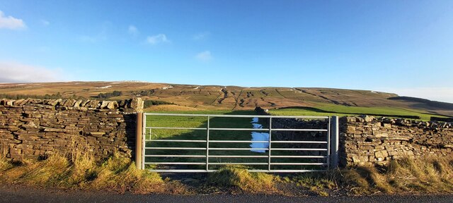
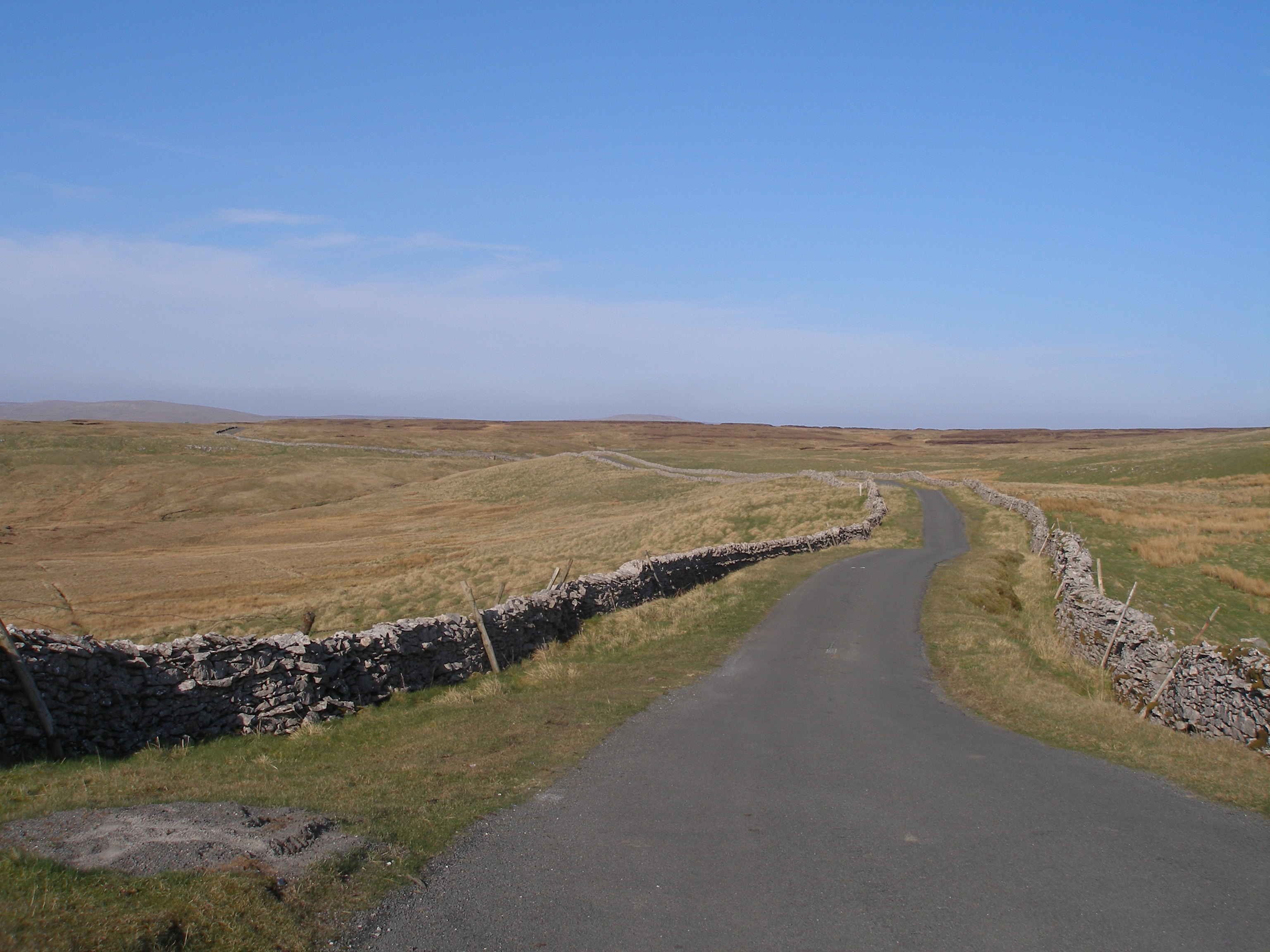
The area surrounding Black Gutter Head is popular among hikers and nature enthusiasts, who are drawn to its stunning vistas and tranquil atmosphere. Several walking trails wind their way through the moors, offering visitors the opportunity to explore the unique landscape and appreciate its natural wonders.
In conclusion, Black Gutter Head is a captivating landscape feature in Yorkshire, boasting a deep gorge, towering cliffs, and a rich geological history. With its abundance of wildlife and scenic hiking trails, it is a must-visit destination for those seeking a genuine connection with nature.
If you have any feedback on the listing, please let us know in the comments section below.
Black Gutter Head Images
Images are sourced within 2km of 54.326718/-2.3244888 or Grid Reference SD7892. Thanks to Geograph Open Source API. All images are credited.


Black Gutter Head is located at Grid Ref: SD7892 (Lat: 54.326718, Lng: -2.3244888)
Division: West Riding
Administrative County: Cumbria
District: South Lakeland
Police Authority: Cumbria
What 3 Words
///snowboard.nibbled.carpeted. Near Sedbergh, Cumbria
Nearby Locations
Related Wikis

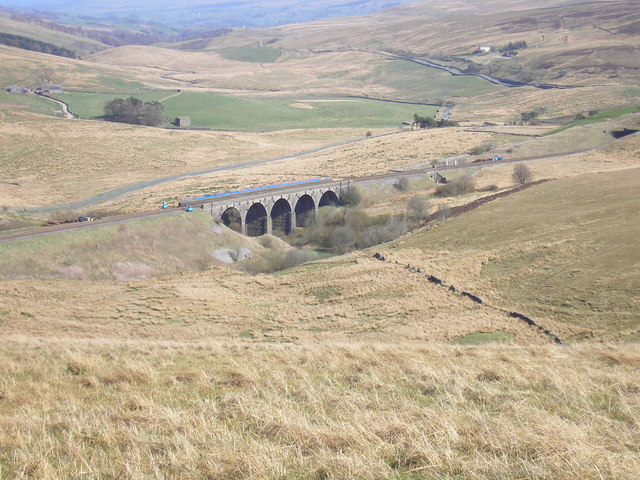
Dandry Mire Viaduct
Dandry Mire Viaduct, (or Dandrymire Viaduct), is a railway viaduct on the Settle & Carlisle line in Cumbria, England. It is just north of Garsdale station...

Garsdale Head
Garsdale Head is a hamlet mainly within the South Lakeland district of Cumbria, England. Historically part of the West Riding of Yorkshire, the hamlet...

Garsdale railway station
Garsdale is a railway station in Cumbria, England (historically in the West Riding of Yorkshire), on the Settle and Carlisle Line, which runs between Carlisle...
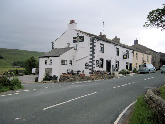
Moorcock Inn
The Moorcock Inn is a public house at the watershed of the Eden, Clough and Ure rivers, in Upper Wensleydale, North Yorkshire, England. It is adjacent...
Hawes Junction rail crash
The Hawes Junction rail crash occurred at 5.49 am on 24 December 1910, just north of Lunds Viaduct between Hawes Junction (now known as Garsdale station...

Grisedale
Grisedale (sometimes Grisdale, or Grizedale [archaic]) is a south east facing Dale in Cumbria, England, 8 miles (13 km) east of Sedbergh, and 7 miles...

Lunds, North Yorkshire
Lunds is a hamlet in North Yorkshire, England, near to the watershed of the Eden and Ure rivers. It is on the border between Cumbria and North Yorkshire...
Coal Road
The Coal Road (also known as the Galloway Gate Road) is an unclassified highway which connects the railway stations at Garsdale and Dent in Cumbria, England...
Nearby Amenities
Located within 500m of 54.326718,-2.3244888Have you been to Black Gutter Head?
Leave your review of Black Gutter Head below (or comments, questions and feedback).