Bleagill Head

Landscape Feature in Westmorland Eden

England

Bleagill Head

Fell Head A view of the Howgill Fells from Firbank Fell.
Fell Head Credit: Richard Webb

Bleagill Head is a prominent landscape feature located in the county of Westmorland, in the northwest region of England. Situated within the picturesque Lake District National Park, it is part of the stunning Cumbrian Fells.

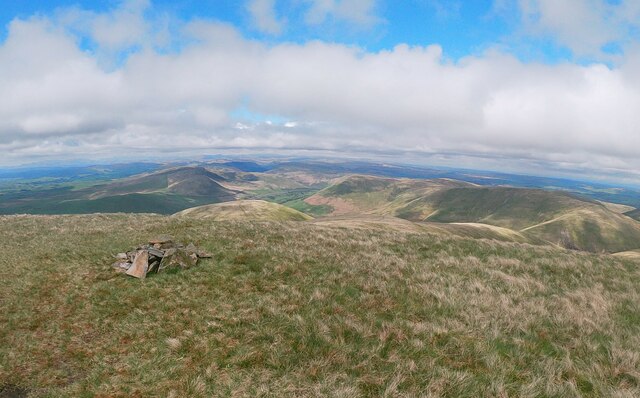
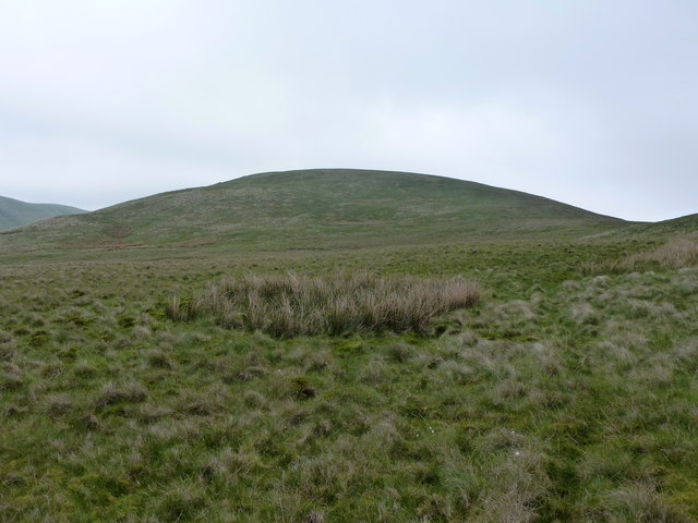
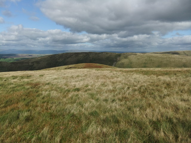
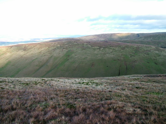
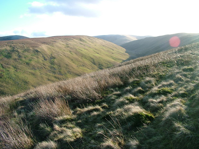
Rising to an elevation of approximately 607 meters (1,991 feet), Bleagill Head is a distinctive fell that offers breathtaking panoramic views of the surrounding area. It forms part of the eastern ridge of the High Street Range, overlooking the beautiful Haweswater Reservoir to the east and the scenic valleys of Mardale and Swindale to the west.

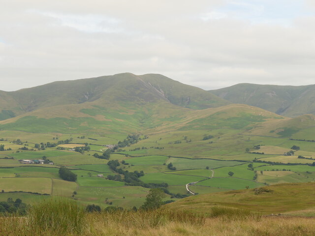
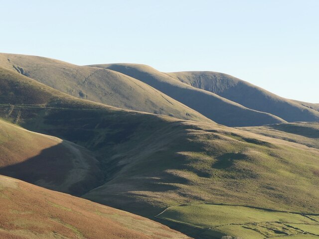
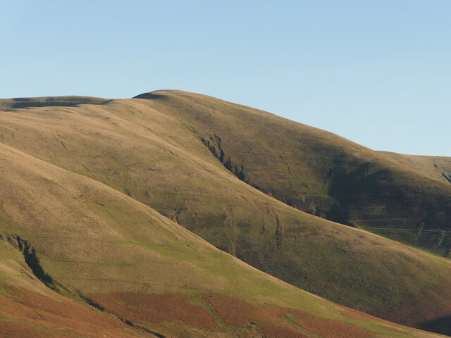
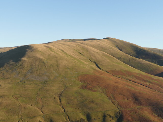
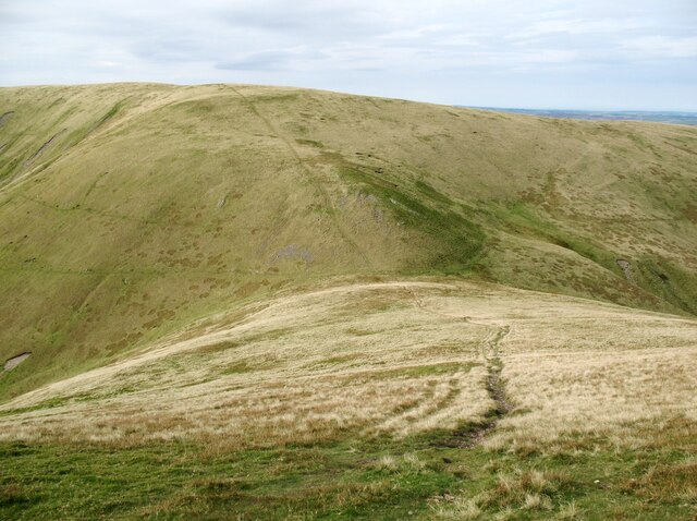
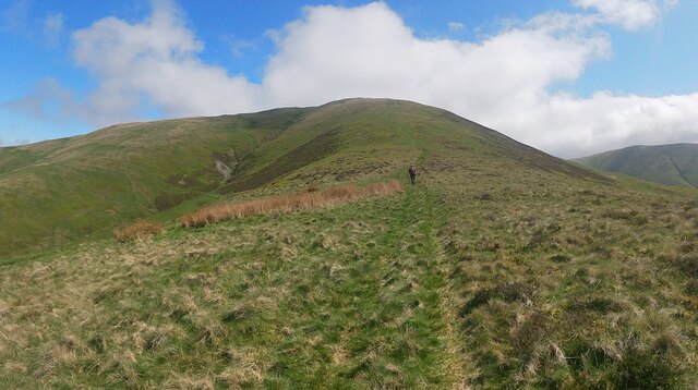
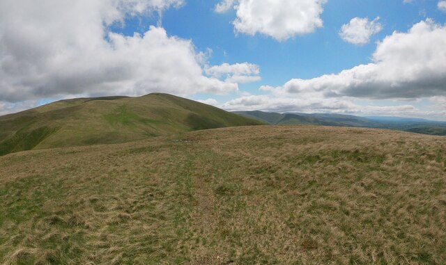
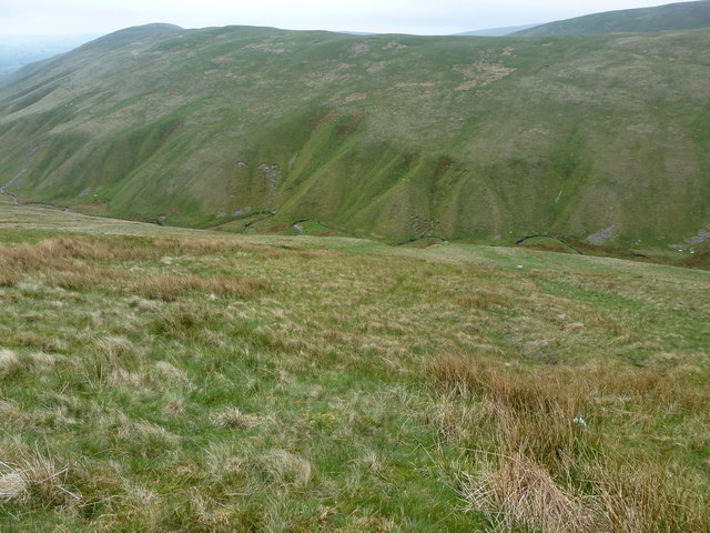
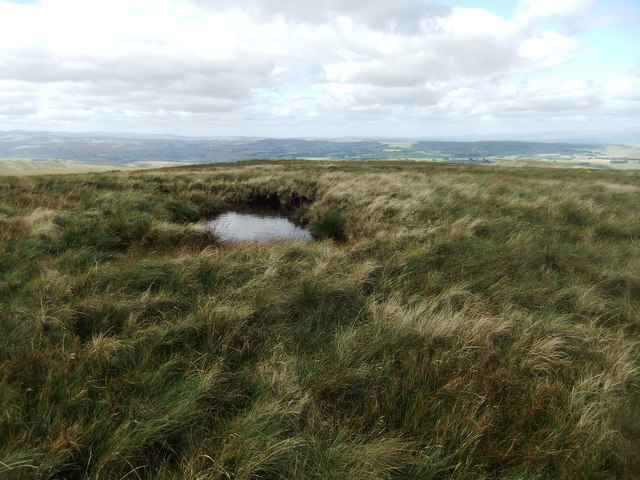
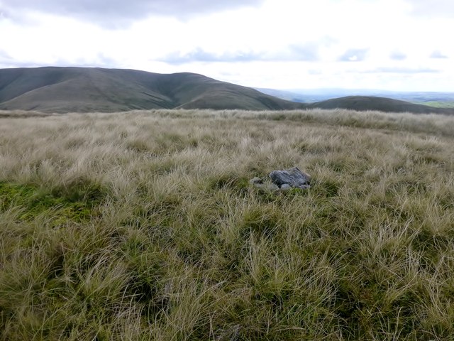
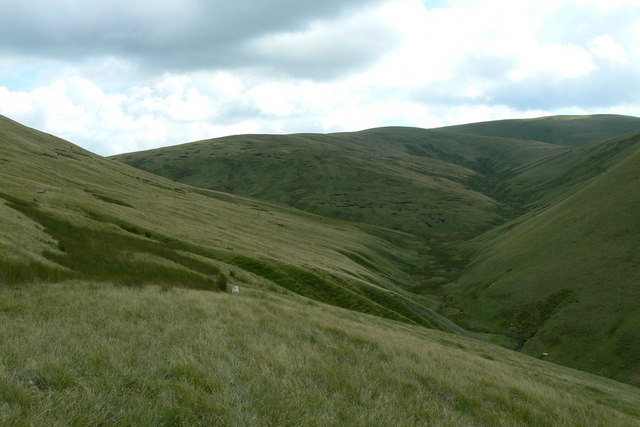
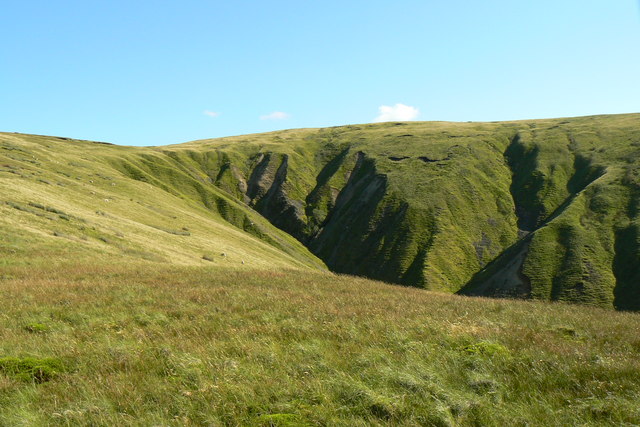
The terrain of Bleagill Head is characterized by its rugged nature, featuring steep slopes and rocky outcrops. The fell is predominantly covered in heather and grasses, with scattered boulders adding to its wild and untamed beauty.

Several walking routes and trails traverse Bleagill Head, allowing visitors to explore its diverse landscapes. The most common approach is from the Mardale Head car park, where a well-maintained footpath leads up the fell. Hikers can also access Bleagill Head via the nearby Nan Bield Pass, a challenging yet rewarding route that provides spectacular views along the way.

Bleagill Head is a popular destination for outdoor enthusiasts and nature lovers, offering opportunities for hiking, hillwalking, and wildlife spotting. It provides a serene and peaceful environment, allowing visitors to immerse themselves in the tranquility of the Lake District's natural beauty.

If you have any feedback on the listing, please let us know in the comments section below.

Bleagill Head Images

Images are sourced within 2km of 54.386482/-2.5303123 or Grid Reference SD6599. Thanks to Geograph Open Source API. All images are credited.

Fell Head A view of the Howgill Fells from Firbank Fell.
Fell Head
A view of the Howgill Fells from Firbank Fell.
South side of the Howgill Fells Slopes and ridges off Fell Head and The Calf.
South side of the Howgill Fells
Slopes and ridges off Fell Head and The Calf.
Fell Head Howgill Fells.
Fell Head
Howgill Fells.
Fell Head Howgill Fells
Fell Head
Howgill Fells
Windscarth Wyke The path along the Howgills from Bush Howe to Breaks Head.
Windscarth Wyke
The path along the Howgills from Bush Howe to Breaks Head.
Path along ridge to Fell head. A walk in the Howgills.
Path along ridge to Fell head.
A walk in the Howgills.
Small cairn on Fell head. Not the summit cairn.
Small cairn on Fell head.
Not the summit cairn.
The summit of Linghaw Looking towards Fell Head.
The summit of Linghaw
Looking towards Fell Head.
Churn Gill
Churn Gill
The slopes of Hand Lake
Small pool at the 561m spot height
The sunlit hump is Combs
View towards Langdale Langdale, viewed from moorland between West Fell and Hazelgill Knott.
View towards Langdale
Langdale, viewed from moorland between West Fell and Hazelgill Knott.
Uldale Head Parked south of bridge over Carlin Gill then a direct ascent of Blease Fell followed by Hare Shaw before continuing to Uldale Head before descending to cross Carlin Gill at the ford.
Name: Uldale Head
Hill number: 3597
Height: 532m / 1745ft
Parent (Ma/M): 2732  The Calf
Section: 35A: The Northern Pennines
Area: Yorkshire Dales - Northern Fells
County/UA: Cumbria (CoU)
Class: Hump, Dewey
Grid ref: NY 64038 00010
Summit feature: small cairn
Drop: 130m
Col: 402m  SD647998
Uldale Head
Parked south of bridge over Carlin Gill then a direct ascent of Blease Fell followed by Hare Shaw before continuing to Uldale Head before descending to cross Carlin Gill at the ford. Name: Uldale Head Hill number: 3597 Height: 532m / 1745ft Parent (Ma/M): 2732 The Calf Section: 35A: The Northern Pennines Area: Yorkshire Dales - Northern Fells County/UA: Cumbria (CoU) Class: Hump, Dewey Grid ref: NY 64038 00010 Summit feature: small cairn Drop: 130m Col: 402m SD647998
Hand Lake beyond Uldale from Uldale Head
Hand lake and Uldale from Rispa
Upper Churngill Beck Typical hill sheep grazing country near the source of the Churngill Beck, with Weathercalf Moss in the middle distance underneath Wind Scarth. Fell Head is on the far right horizon.
Upper Churngill Beck
Typical hill sheep grazing country near the source of the Churngill Beck, with Weathercalf Moss in the middle distance underneath Wind Scarth. Fell Head is on the far right horizon.
Head of Little Nevy Gill A typical Howgill severely eroded gully.
Head of Little Nevy Gill
A typical Howgill severely eroded gully.
Show me another place!

Bleagill Head is located at Grid Ref: SD6599 (Lat: 54.386482, Lng: -2.5303123)

Administrative County: Cumbria

District: Eden

Police Authority: Cumbria

What 3 Words

///tracking.bulletins.leopard. Near Sedbergh, Cumbria

Related Wikis

Nearby Amenities

Located within 500m of 54.386482,-2.5303123
Bleagill head
Place: locality
Source: NPE
Lat/Long: 54.3855196/-2.5306729
Stowgill Brow
Place: locality
Source: NPE
Lat/Long: 54.3829454/-2.5303939
Taffergill Hill
Place: locality
Source: NPE
Lat/Long: 54.386894/-2.5363806
Breaks
Place: locality
Source: NPE
Lat/Long: 54.383757/-2.5339559
Wind Scarth
Place: locality
Source: NPE
Lat/Long: 54.383857/-2.5309947
The data included in this document is from www.openstreetmap.org. The data is made available under ODbL.

Have you been to Bleagill Head?

Leave your review of Bleagill Head below (or comments, questions and feedback).